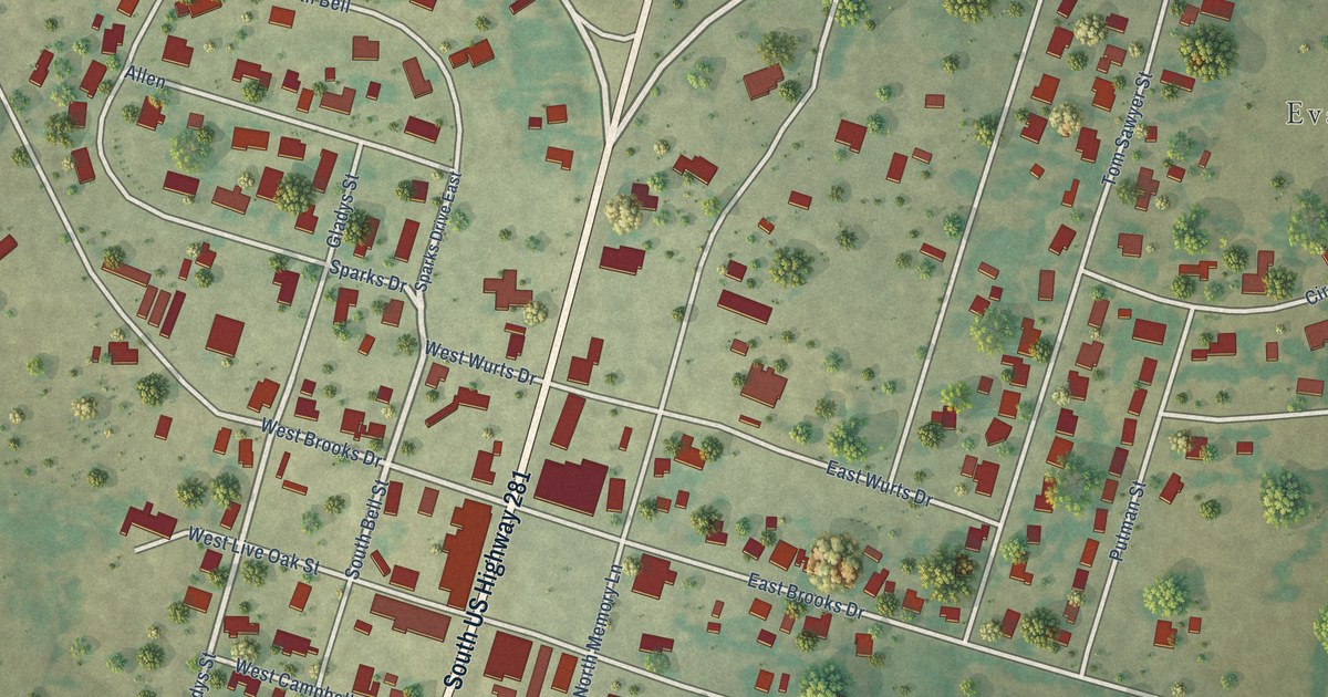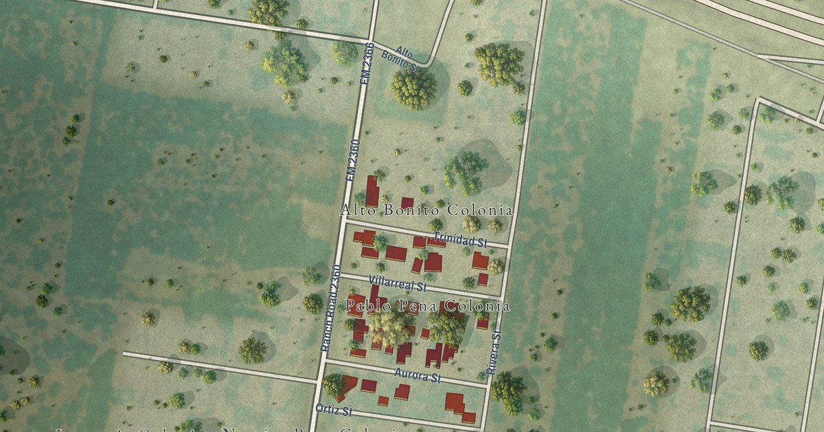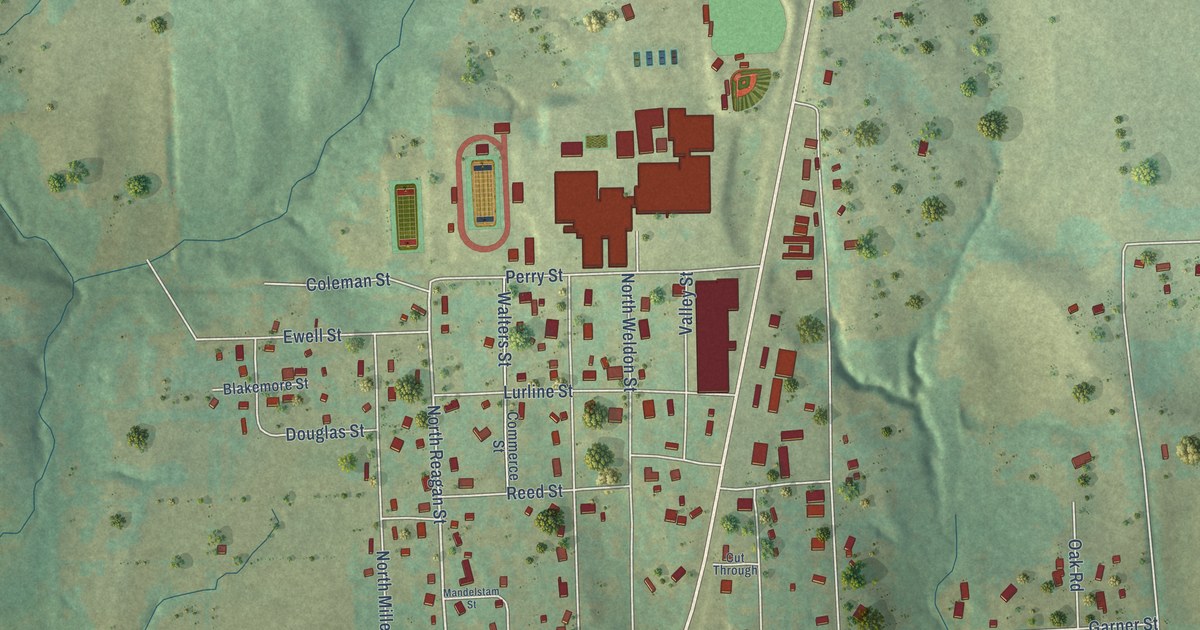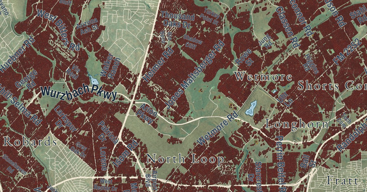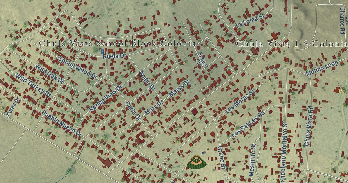
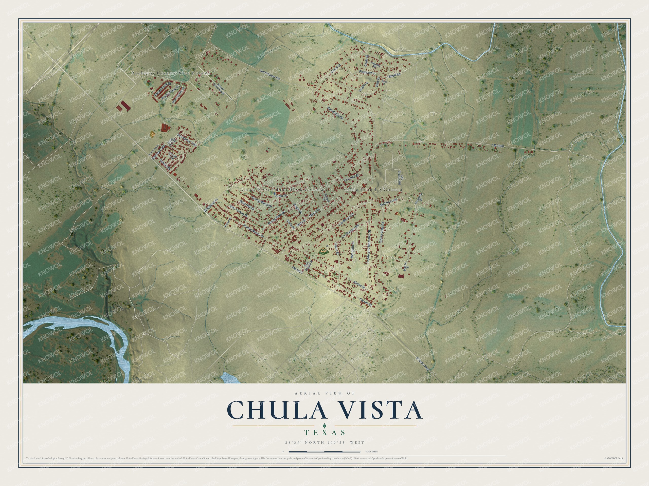
This beautifully detailed map of Chula Vista, Texas was created in 2026 using aerial imagery combined with modern topographical, census, street and landmark data. It’s a one-of-a-kind view of Chula Vista that combines accurate data with a vintage aesthetic. The map shows every building in its true location, many of the roads carry their names, and the shaded topographic relief shows the shape of the land.
Explore an aerial view of Chula Vista, Texas
On the map you’ll find Rockaway Country Sites Colonia, Chula Vista 1-5 Colonia, and Chula Vista School Block Colonia, along with Molina Loop, Round Rock Drive, Mesquite Street, Canal Street, Marys Drive, El Indio Highway, FM 1021, Old Pioneer Road, FM 2030, and more. If you look closely you can even find your house accurately drawn in its correct location. Zoom in on the preview to look for yours.
Take a closer look at the Chula Vista map
Street and place names on the Chula Vista, Texas map
These names are printed on the map of Chula Vista, Texas.
Places: Rockaway Country Sites Colonia, Chula Vista 1-5 Colonia and Chula Vista School Block Colonia.
Streets and roads: Round Rock Drive, Molina Loop, Mesquite Street, Canal Street, Marys Drive, El Indio Highway, FM 1021, Old Pioneer Road, FM 2030, Wildwood Drive, Chula Vista Road, Ranchitos Road.
More street names, A to Z
Alamo Street, Angie Drive, Candelario Montalvo Street, Carla Drive, Chula Street, Crane Street, Fresno Street, Friendly Road, Heights Street, Karen Drive, La Loma Street, Las Moras Street, Los Charros Road, Los Sauces Road, Margarita Drive, Mary Drive, Molina Street, Morning Star Drive, Palo Blanco Street, Pleasant Drive, Prairie View Drive, Pueblo Nuevo Drive, Ruela Drive, Sahara Drive, Santa Fe Trail, School Circle, School Circle North, School Entry Drive, Spring View Drive, Spring Wood Drive, Sunrise Loop, Sunset Loop, Sun Valley Trail, View Drive, Water Street, Wild Oak Drive, Wild Turkey Drive, Wipff Road.
See the Chula Vista, Texas map on a wall
The Chula Vista map as an 18 x 24 inch print in a black frame.

This beautifully detailed map of Chula Vista makes an attractive addition to your office, library, or den, and it can even be used to teach children the geography and history of the area. It also makes a great gift for anyone who grew up in Chula Vista or moved away. When you’re done exploring, click here to get your copy of the Chula Vista map.