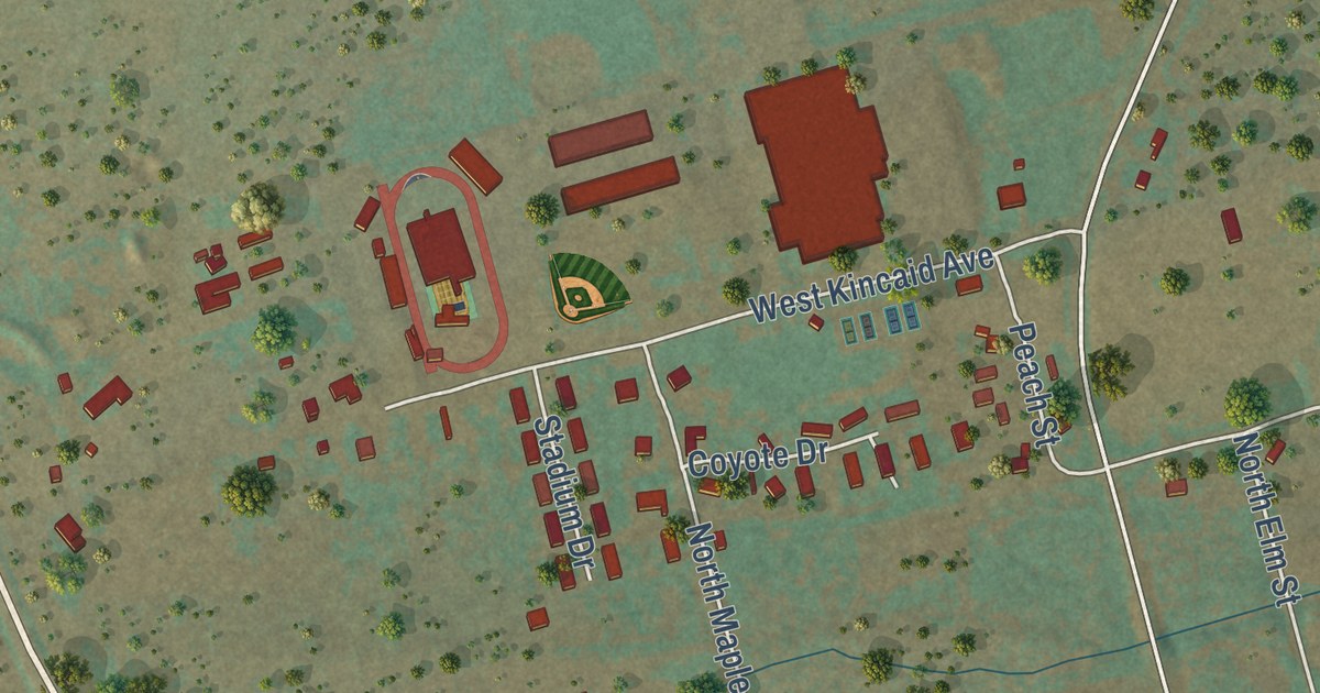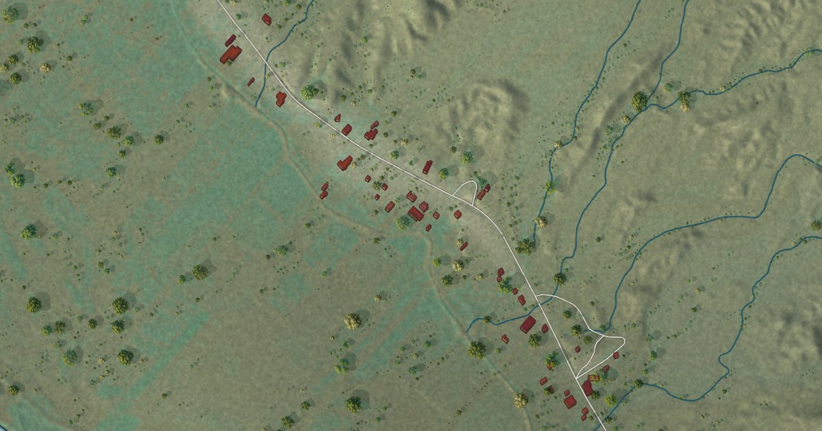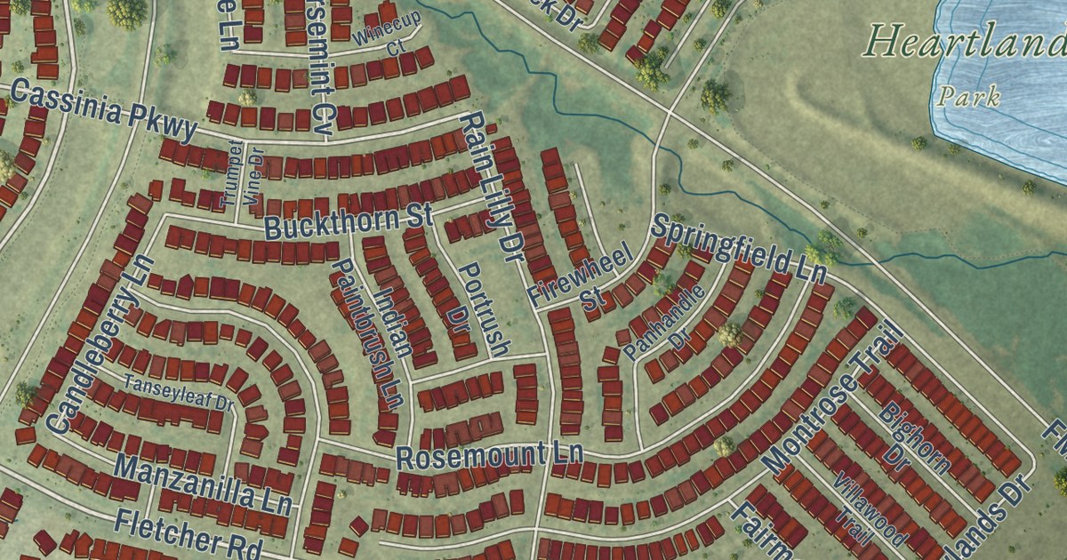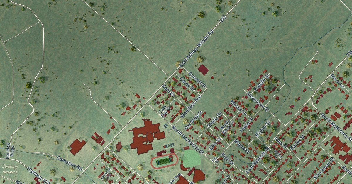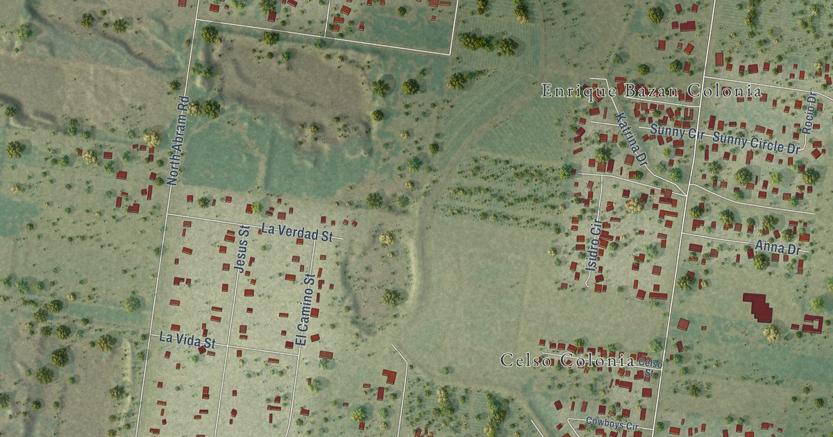
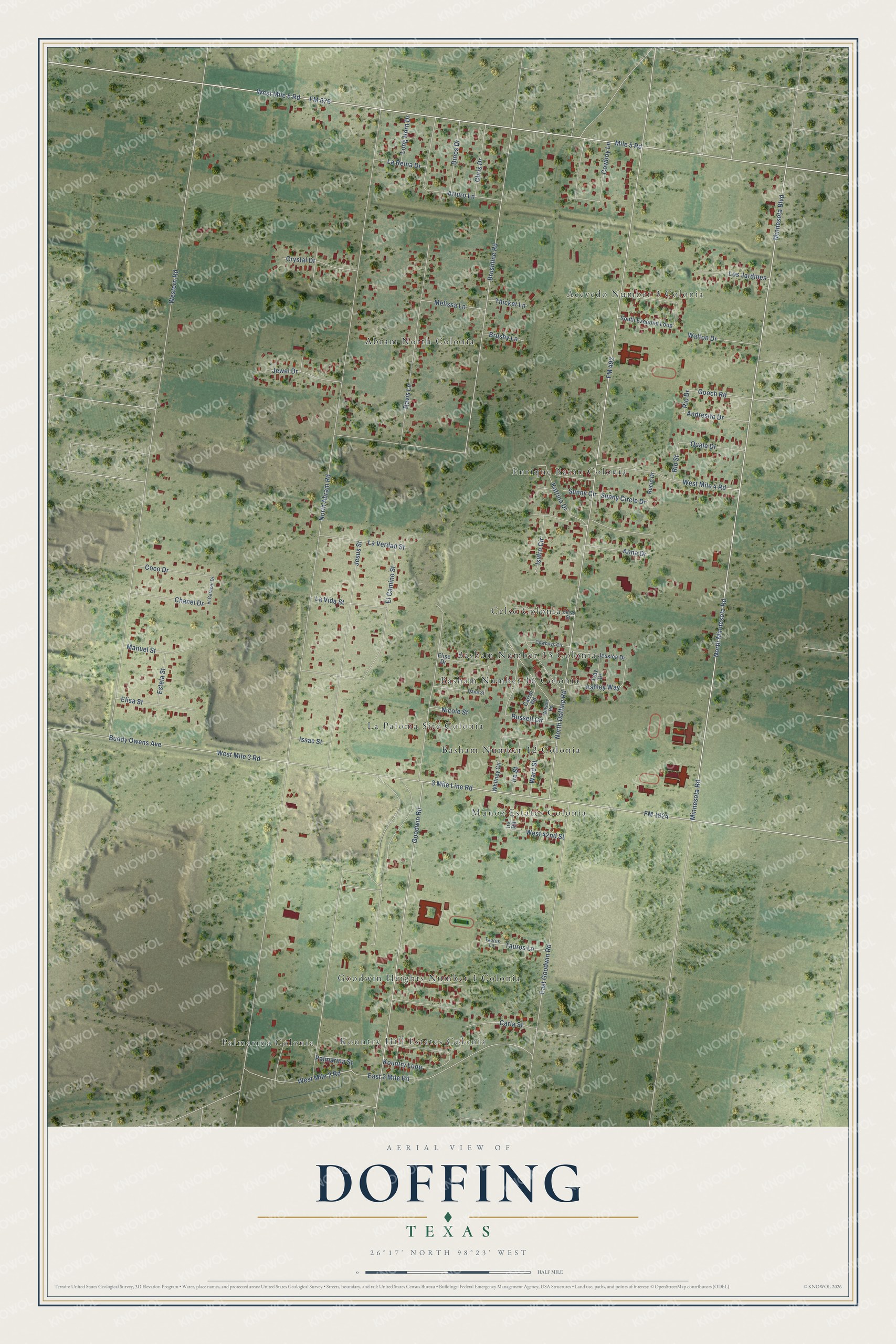
This beautifully detailed map of Doffing, Texas was created in 2026 using aerial imagery combined with modern topographical, census, street and landmark data. It’s a one-of-a-kind view of Doffing that combines accurate data with a vintage aesthetic. The map shows every building in its true location, many of the roads carry their names, and the shaded topographic relief shows the shape of the land.
Explore an aerial view of Doffing, Texas
On the map you’ll find Abram North Colonia, Acevedo Number 3 Colonia, Basham Number 12 Colonia, Basham Number 13 Colonia, Basham Number 16 Colonia, Celso Colonia, Enrique Bazan Colonia, Goodwin Heights Number 1 Colonia, Kountry Hill Estates Colonia, La Paloma Site Colonia, Munoz Estates Colonia, Palmarina Colonia, and more. If you look closely you can even find your house accurately drawn in its correct location. Zoom in on the preview to look for yours.
Did you know this piece of Doffing, Texas history?
From the Handbook of Texas: "In 2000 Doffing was a census-designated place with a population of 4,256. It was served by La Joya Independent School District."
Take a closer look at the Doffing map
Street and place names on the Doffing, Texas map
These names are printed on the map of Doffing, Texas.
Places: Abram North Colonia, Acevedo Number 3 Colonia, Basham Number 12 Colonia, Basham Number 13 Colonia, Basham Number 16 Colonia, Celso Colonia, Enrique Bazan Colonia, Goodwin Heights Number 1 Colonia, Kountry Hill Estates Colonia, La Paloma Site Colonia, Munoz Estates Colonia and Palmarina Colonia.
Streets and roads: West Mile 5 Road, Minnesota Boulevard, FM 676, Minnesota Road, North Minnesota Road, FM 1924, 3 Mile Line Road, Brushline Road, Gooch Road, FM 492, North Abram Road, Western Road.
More street names, A to Z
Andresito Drive, Anna Drive, Arturo Lane, Ashley Way, Brushy Lane, Buddy Owens Avenue, Carla Street, Carrol Road, Celso Street, Chanel Drive, Chris Drive, Coco Drive, Cowboy Lane, Cowboys Circle, Crystal Drive, Dana Street, Davis Lane, Dinos Drive, East 2 Mile Road, East Goodwin Road, El Camino Street, Elisa Street, Elise Drive, Estela Street, Goodwin Road, Ira Road, Ira Street, Isidro Circle, Issac Street, Jessica Drive, Jesus Street, Jewel Drive, Katrina Drive, Kountry Loop, La Reina Drive, La Verdad Street, La Vida Street, Long Horn Drive, Los Jardines, Manuel Street, Melissa Lane, Mile 5 Road, Nicole Street, North Doffing Road, Palmarina Street, Quale Drive, Rio Drive, Rio Street, Rocio Drive, Russell Circle, South Ezequiel Loop, Sunny Circle, Sunny Circle Drive, Tauros Lane, Taurus Lane, Thicket Lane, Tray Drive, Walton Drive, Ward Street, West 42nd Street, West Mile 2 Road, West Mile 3 Road, West Mile 4 Road, Whitney Circle, Wilson Road.
See the Doffing, Texas map on a wall
The Doffing map as an 18 x 24 inch print in a black frame.

This beautifully detailed map of Doffing makes an attractive addition to your office, library, or den, and it can even be used to teach children the geography and history of the area. It also makes a great gift for anyone who grew up in Doffing or moved away. When you’re done exploring, click here to get your copy of the Doffing map.