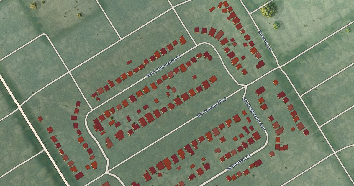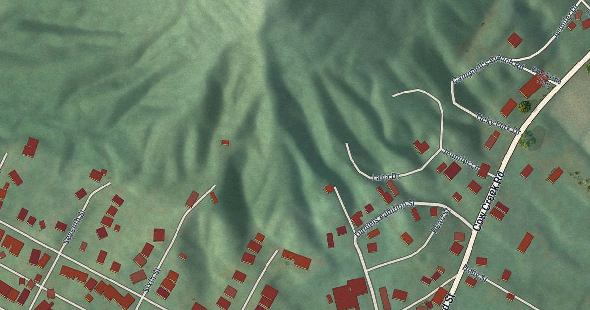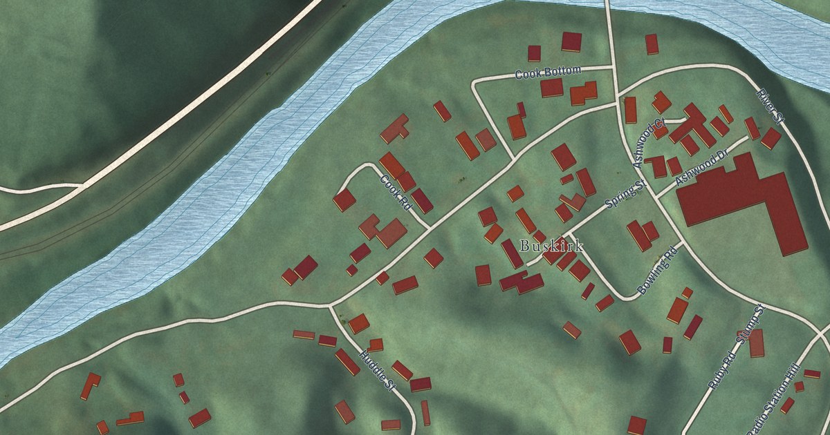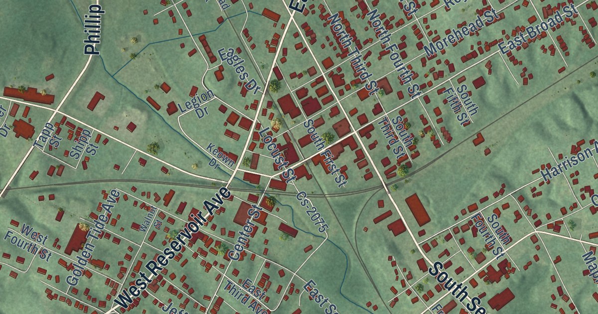
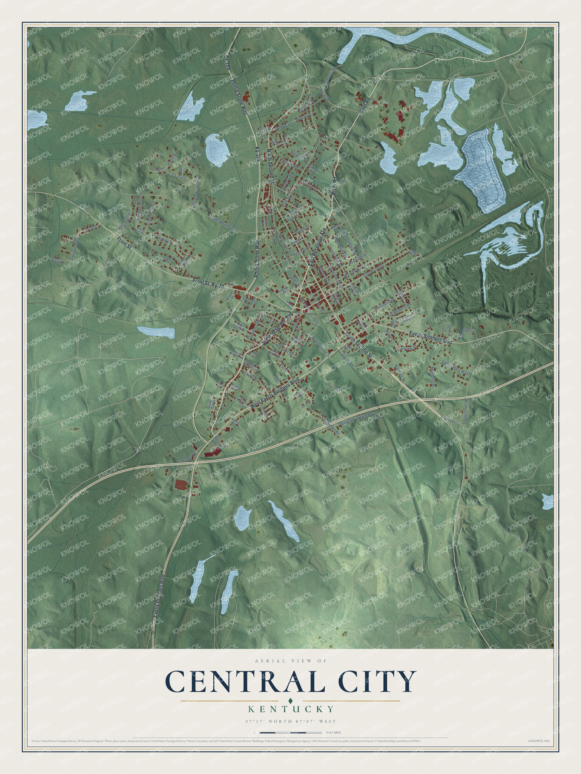
This beautifully detailed map of Central City, Kentucky was created in 2026 using aerial imagery combined with modern topographical, census, street and landmark data. It’s a one-of-a-kind view of Central City that combines accurate data with a vintage aesthetic. The map shows every building in its true location, many of the roads carry their names, and the shaded topographic relief shows the shape of the land.
Explore an aerial view of Central City, Kentucky
On the map you’ll find Ky-189 and Ky-70, along with South Second Street, West Reservoir Avenue, River Road, East Reservoir Avenue, Phillip Stone Way, West Everly Brothers Boulevard, Everly Brothers Boulevard, North Second Street, Front Street, East Broad Street, and more. If you look closely you can even find your house accurately drawn in its correct location. Zoom in on the preview to look for yours.
Did you know this about Central City, Kentucky?
From the National Register of Historic Places: "The Robert Thomas House retains its original architectural design and is the only high style Colonial Revival residence in Central City. The residence displays the influence of the Dutch Colonial revival in its gambrel roof, Tuscan columns, and half-timbering."
Take a closer look at the Central City map
Street names on the Central City, Kentucky map
These names are printed on the map of Central City, Kentucky.
Streets and roads: South Second Street, West Reservoir Avenue, River Road, East Reservoir Avenue, West Everly Brothers Boulevard, Phillip Stone Way, Everly Brothers Boulevard, Ky-189, North Second Street, Front Street, Ky-70, East Broad Street.
More street names, A to Z
Ash Street, Brewer Drive, Brown Meadows Drive, Burgess Street, California Street, Cedar Street, Center Street, Cherry Street, Cherrywood Drive, Cherry Wood Drive, Country Club Drive, Cr-1092, Cr-1093, Cs-2020, Cs-2058, Cs-2075, Cs-2124, Cs-2130, Divine Street, Duncan Lane, Eagle Drive, Eagle Place, Eagles Drive, East Second Street, East Third Avenue, Eastview Drive, Fairway Drive, Federal Street, Fisher Street, Fruit Hill, Golden Tide Avenue, Green Valley Drive, Harris Avenue, Harrison Avenue, Jefferson Street, Kentucky Street, Keown Drive, Ky-602, Ky-604, Ky-3038, Lakeview Drive, Legion Drive, Locust Street, Magnolia Drive, Maple Lane, Massey Drive, Meadow Hill Lane, Mine Ridge Road, Moore Street, Morehead Street, Neal Street, Nelson Street, Newman Street, Nobel Street, North Cherry Hill Road, North Fifth Street, North First Street, North Fourth Street, North Seventh Street, North Sixth Street, North Third Street, Oak Tree Drive, Old Brownie Road, Orchard Street, Park Street, Par Lane, Peabody Road, Peachtree, Pendleton Street, Perkins Road, Pittman Street, Poplar Street, Prince Street, Railroad Street, Reynolds Street, Rose Hill Cemetery-A, Rose Hill Drive, Saint James Way, Shady Oak Drive, Shipp Street, Shown Lane, South Fifth Street, South First Street, South Fourth Street, South Ninth Street, South Third Street, Spa Lane, State Street, Steward Frontage Road, Stonebluff Avenue, Stringtown Road, Tammy Drive, Tapp Street, Taylor Road, Temple Road, Walnut Street, Welborn Street, Western Street, West Fifth Avenue, West Fourth Street, West Seventh Avenue, West Seventh Street, West Sixth Street, West Whitmer Street, Whitmer Street, Wiggins Farm Road, Withrow Street, Youngstown Road.
See the Central City, Kentucky map on a wall
The Central City map as an 18 x 24 inch print in a black frame.

This beautifully detailed map of Central City makes an attractive addition to your office, library, or den, and it can even be used to teach children the geography and history of the area. It also makes a great gift for anyone with Central City roots. When you’re done exploring, click here to get your copy of the Central City map.