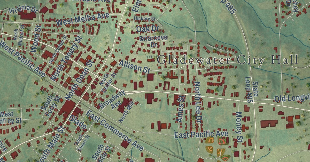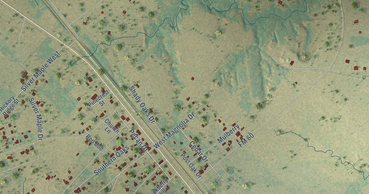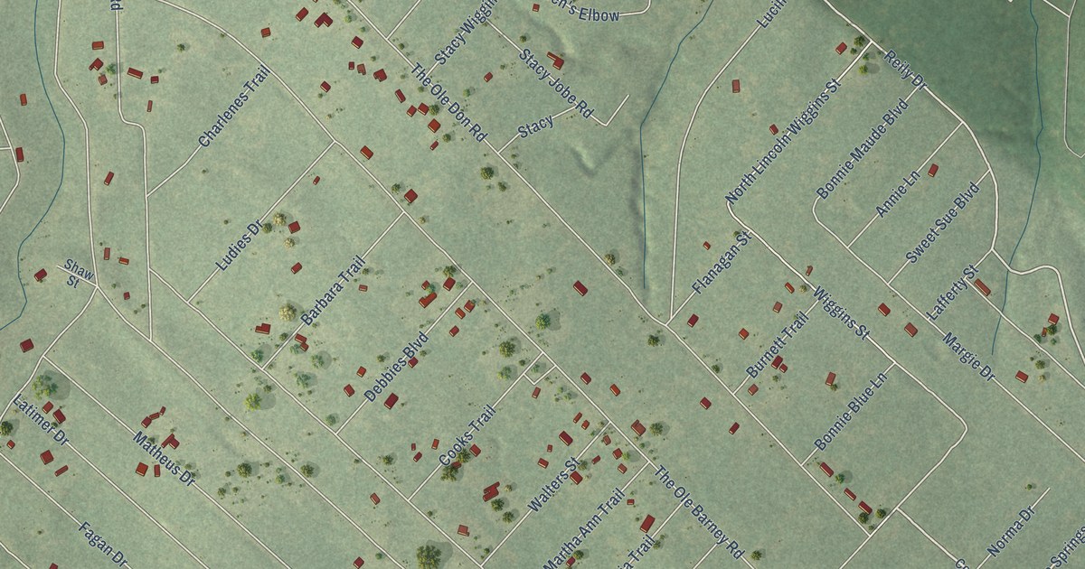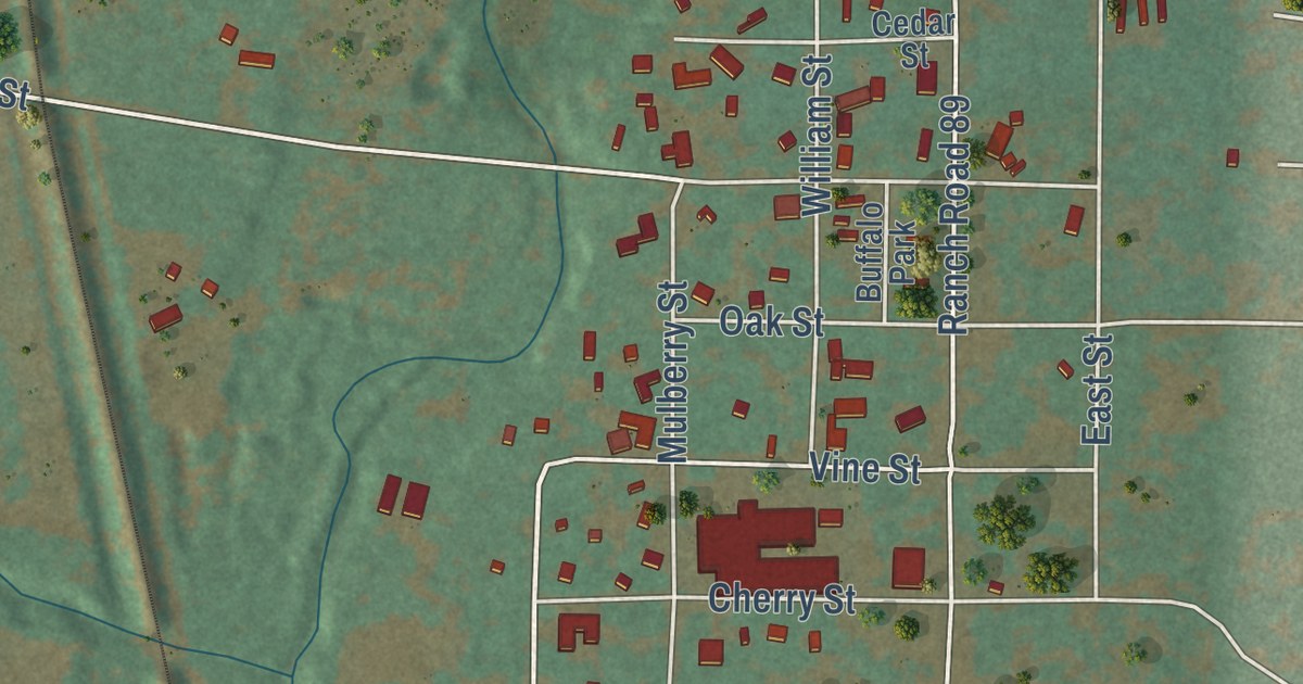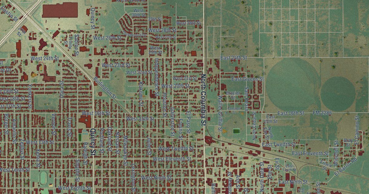
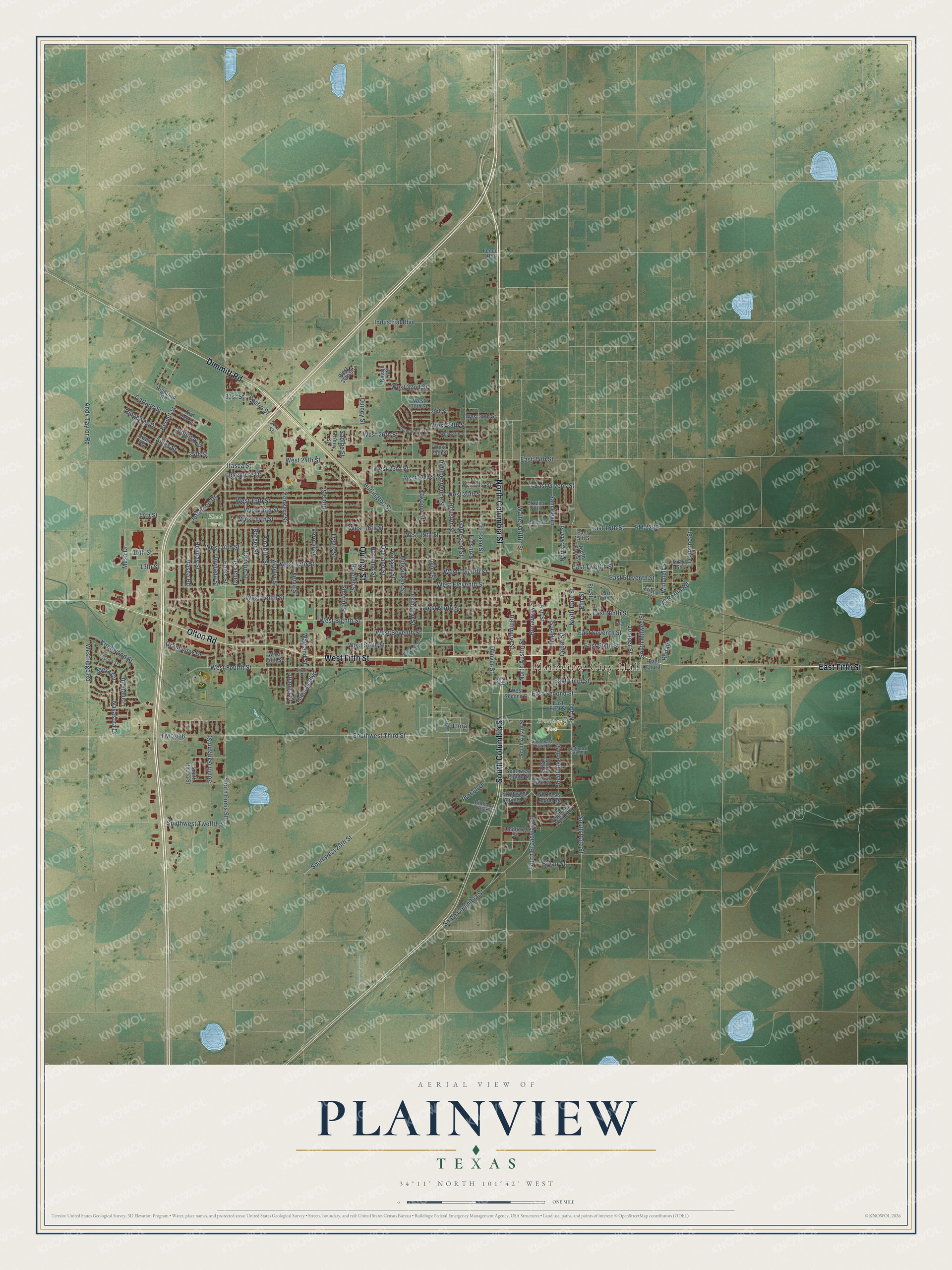
This beautifully detailed map of Plainview, Texas was created in 2026 using aerial imagery combined with modern topographical, census, street and landmark data. It’s a one-of-a-kind view of Plainview that combines accurate data with a vintage aesthetic. The map shows every building in its true location, many of the roads carry their names, and the shaded topographic relief shows the shape of the land.
Explore an aerial view of Plainview, Texas
On the map you’ll find Plainview City Hall, Broadway Park, and Hood Park, along with North Columbia Street, Dimmitt Road, Quincy Street, East Fifth Street, West Fifth Street, South Columbia Street, Olton Road, Vernon Street, Thomas Boulevard, and more. If you look closely you can even find your house accurately drawn in its correct location. Zoom in on the preview to look for yours.
Did you know this piece of Plainview, Texas history?
From the Handbook of Texas: "In 1969 country singing star Jimmy Dean opened the Jimmy Dean Meat Company, which was later closed; in 1971 Missouri Beef Packers opened a large beef-processing plant near Plainview."
Take a closer look at the Plainview map
Street and place names on the Plainview, Texas map
These names are printed on the map of Plainview, Texas.
Places: Plainview City Hall, Broadway Park and Hood Park.
Streets and roads: North Columbia Street, Dimmitt Road, Quincy Street, East Fifth Street, West Fifth Street, South Columbia Street, Olton Road, Vernon Street, Thomas Boulevard, Canyon Street, Sam Hearn, West Tenth Street.
More street names, A to Z
13th Street, 15th Street, 17th Street, 25th Street, 27th Street, 29th Street, 31st Street, Aesthetic, Amarillo Street, Andy Taylor Road, Ash Street, Baltimore Street, Beech Street, Blakney Boulevard, Borger Street, Brazier Street, Broadway Street, Bryan Street, Burlington Street, Campbell Street, Castro Street, Cedar Street, Dallas Street, Denver Street, East 15th Street, East 16th Street, East 24th Street, East Eleventh Street, East First Street, East Fourth, East Givens Street, East Ninth Street, East Second Street, East Seventh Street, East Sixth Street, East Tenth Street, East Third Street, East Twelfth Street, Edgemere Drive, El Barrio Road, El Camino Street, Elm Street, El Paso Street, Ennis Street, Fence Road, Fir Street, Floral, Floydada Street, FM 400, FM 2286, FM 3466, Fresno Street, Frisco Street, Galveston Street, Garland Street, Grandview Drive, Gray Street, Highland Road, Holiday Street, Holliday Street, Houston Street, Independence Street, Industrial Boulevard, Itasca Road, Itasca Street, Ivy Street, Jefferson Drive, Joliet Street, Juanita Street, Juniper Street, Kermit Street, Kirchwood Street, Kokomo Street, Lexington Street, Lindberg Street, Lometa Drive, Mesa Circle, Mesa Drive, Milwaukee Street, Nassau Street, Navajo Trail, Navasota Drive, Norma Street, North Austin Street, North Cedar Street, North Date Street, Northeast Alpine Drive, North Elm Street, Northwest Alpine Drive, Oakland Street, Owen Road, Parkway Drive, Portland Street, Purcell Drive, Raleigh Street, Red Oak Lane, Ridgeway Drive, Ronald, Sabine Street, Sides Street, Smythe Street, South Ash Street, South Austin Street, South Beech Street, South Broadway Street, South Date Street, Southeast Alpine Drive, Southeast Fifth Street, Southeast Fourth Street, Southeast Ninth Street, South Ennis Street, South Garland Street, South Itasca Street, South Milwee Street, Southwest 20th Street, Southwest Eighth Street, Southwest Third Street, Southwest Twelfth Street, Thunderbird Drive, Travis Street, Trinity Street, Utica Street, Walter Griffin Street, Wayland Street, West 13th Street, West 14th Street, West 15th Street, West 16th Street, West 17th Street, West 18th Street, West 19th Street, West 20th Street, West 21st Street, West 22nd Street, West 23rd Street, West 24th Street, West 25th Street, West 26th Street, West 27th Street, West 28th Street, West 29th Street, West 30th Street, West 32nd Street, West 34th Street, West Eighth Street, West Eleventh Street, West Fourth Street, West Ninth Street, Westridge Road, West Second Street, West Seventh Street, West Sixth Street, West Third Street, West Twelfth Street, Winchell Street, Xenia Street, Yonkers Street, Yucca Terrace, Zephyr Street.
See the Plainview, Texas map on a wall
The Plainview map as an 18 x 24 inch print in a black frame.

This beautifully detailed map of Plainview makes an attractive addition to your office, library, or den, and it can even be used to teach children the geography and history of the area. It also makes a great gift for anyone who grew up in Plainview or moved away. When you’re done exploring, click here to get your copy of the Plainview map.