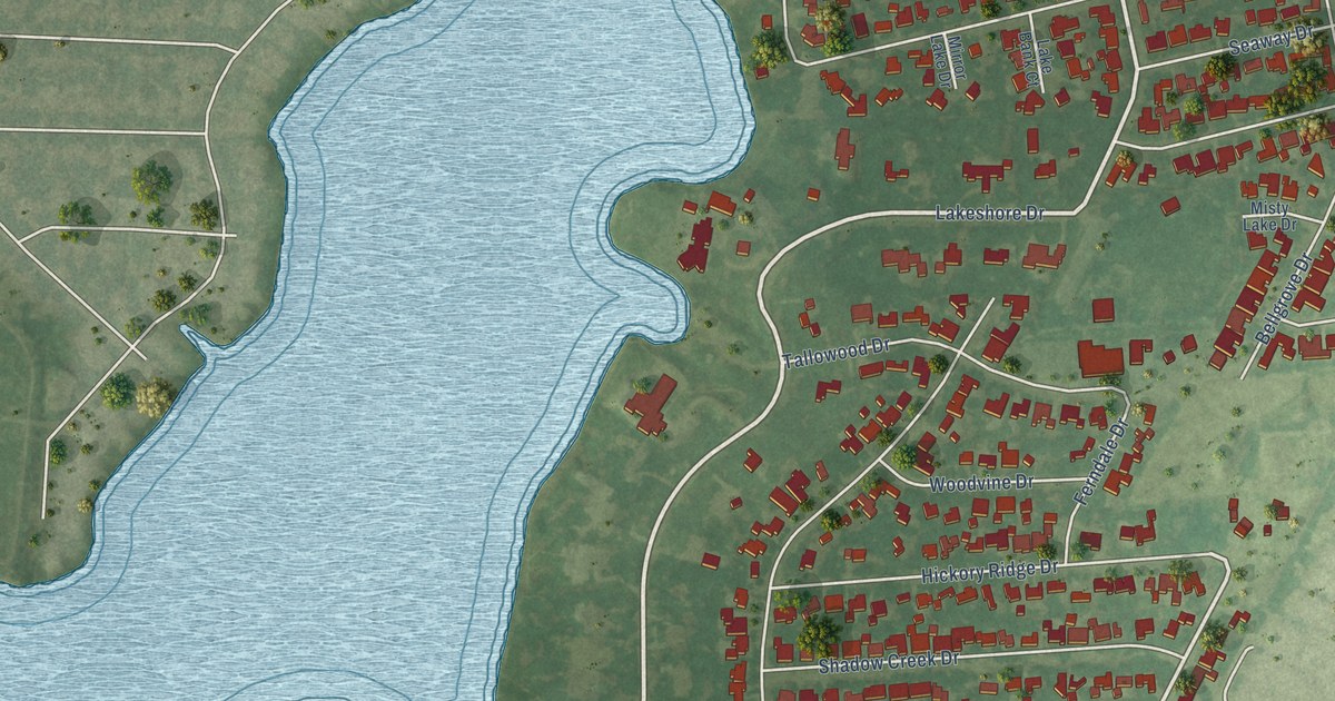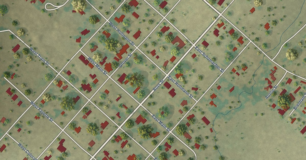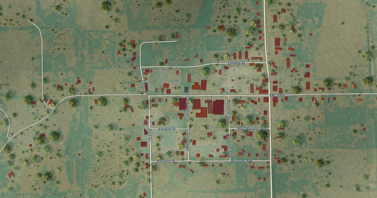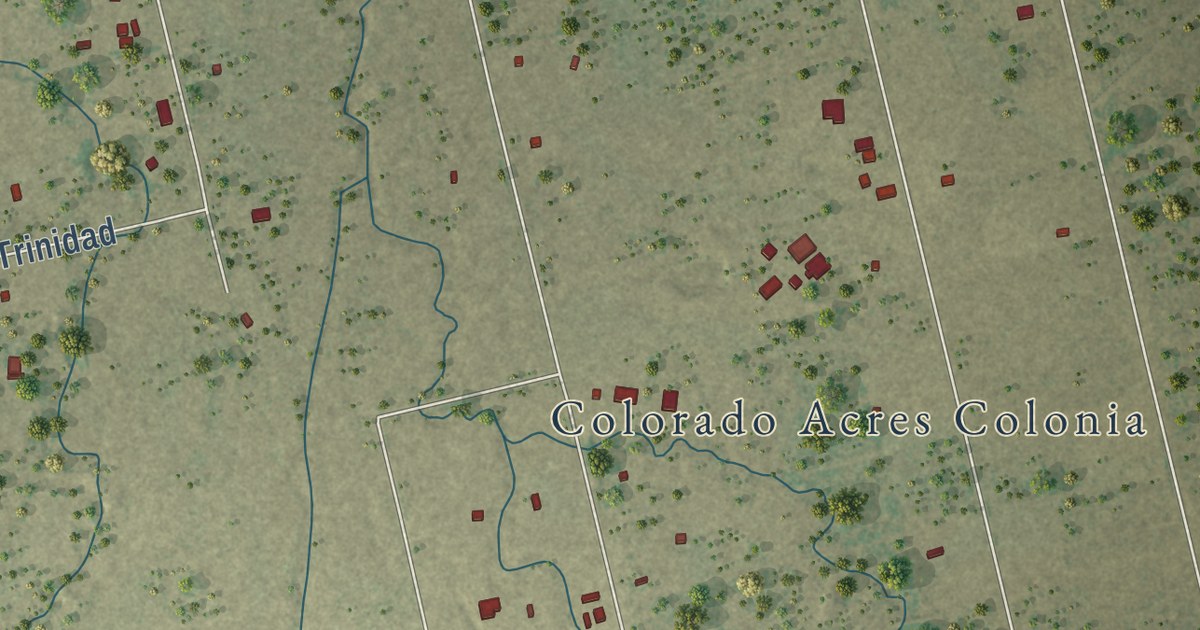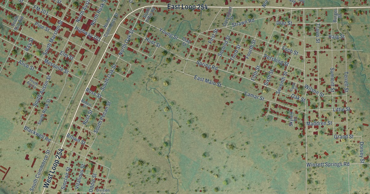
This beautifully detailed map of Ranger, Texas was created in 2026 using aerial imagery combined with modern topographical, census, street and landmark data. It’s a one-of-a-kind view of Ranger that combines accurate data with a vintage aesthetic. The map shows every building in its true location, many of the roads carry their names, and the shaded topographic relief shows the shape of the land.
Explore an aerial view of Ranger, Texas
On the map you’ll find Evergreen Cemetery, West Loop 254, East Loop 254, and Ranch Road 717, along with State Loop 254, North Austin Street, Highway 101, South Austin Street, Highway 717, Commerce Street, Caddo Road, FM 2461, and more. If you look closely you can even find your house accurately drawn in its correct location. Zoom in on the preview to look for yours.
Did you know this piece of Ranger, Texas history?
From the Handbook of Texas: "In 1982 the chamber of commerce established the Roaring Ranger Museum to depict the history of the oil boom and the community."
Take a closer look at the Ranger map
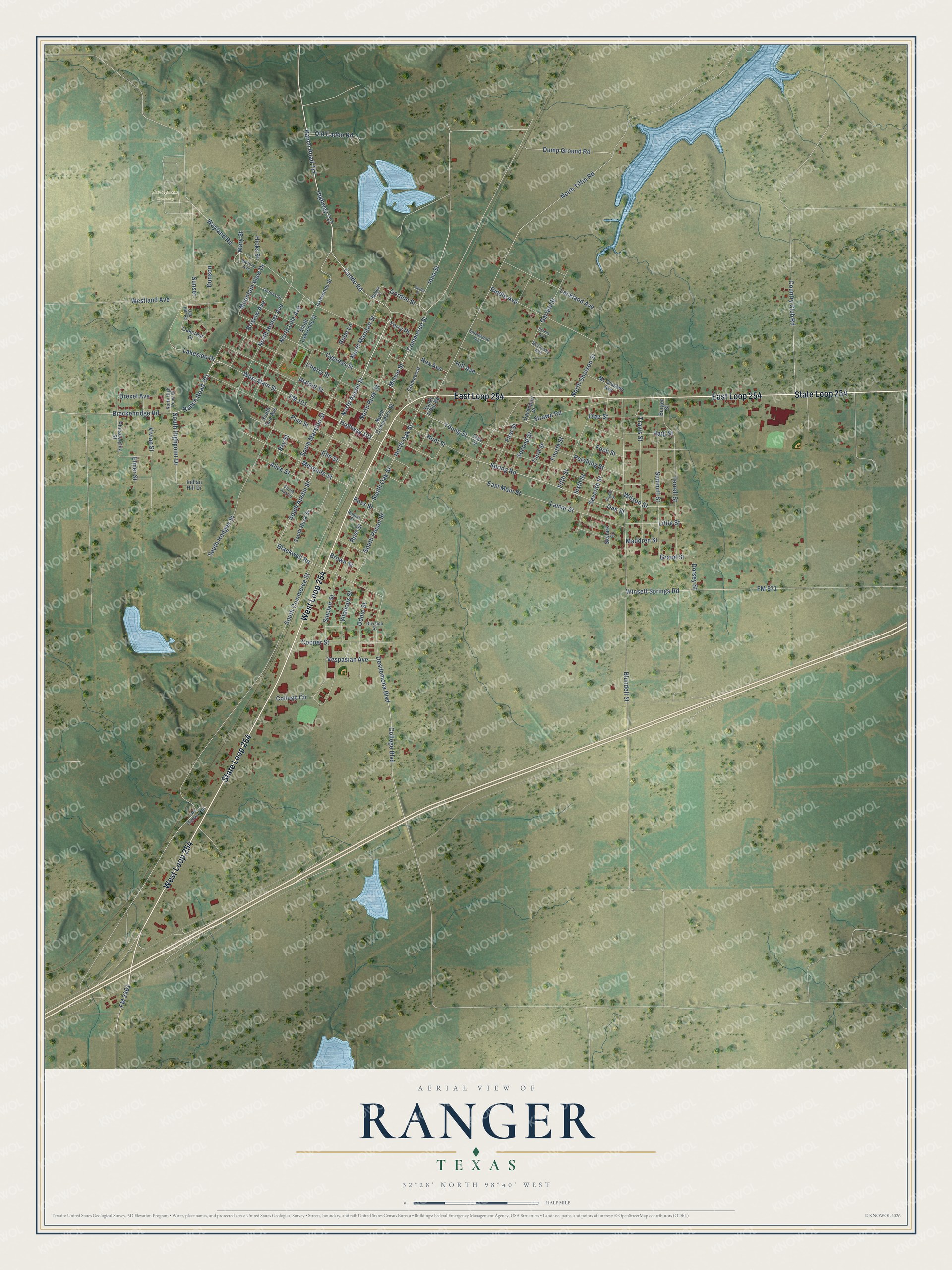
Street and place names on the Ranger, Texas map
These names are printed on the map of Ranger, Texas.
Places: Evergreen Cemetery.
Streets and roads: West Loop 254, State Loop 254, East Loop 254, Ranch Road 717, North Austin Street, Highway 101, South Austin Street, Highway 717, Commerce Street, Caddo Road, FM 2461, Dump Ground Road.
More street names, A to Z
Alice Street, Blackwell Road, Blundell Street, Bobo Lane, Bobos Lane, Breckenridge Road, Bristow Avenue, Brown Street, Burger Street, Byrens Avenue, Cherry Street, Clay Street, College Boulevard, College Circle, Commerce, Cooper Street, Country Club Road, Cypress Street, Davenport Street, Desdemona Boulevard, Diaz Street, Division Street, Dorsey Street, Drexel Avenue, Dunson, East Main Street, Eighth Street, Elmer Street, Elm Street, Fifth Street, First Street, FM 101, FM 571, Foch Street, Fourth Street, Garrett Street, Gerdes Street, Gordon Street, Grand Street, Haig Street, Hicks Street, Hill Avenue, Hunter Street, Hunt Street, Indian Hill Drive, Iona Street, Lackland Avenue, Lakeside Drive, Lamar Street, Lawrence Street, Little Street, Maddren Street, Mary Street, Mc Cleskey Avenue, McClesky Avenue, Melvin Street, Mesquite Street, Mountain View Drive, North Commerce Street, North Gholson Street, North High Point Drive, North Homer Avenue, North Lula Avenue, North Marston Street, North Oak Street, North Rusk Street, North Tiffin Road, Oakcrest Drive, Oak Hill Road, Oak Street, Oddie Street, Old Caddo Road, Old Highway 80, Pershing Street, Philadelphia Street, Pine Street, Ranch Road 101, Ray Street, Rex Avenue, Riddle Avenue, Robert Street, Ross Street, Rust Street, Second Street, Seventh Street, Sinclair Street, Sixth Street, Skylark Drive, Smallwood Avenue, South Austin, South Commerce Street, South Highpoint Drive, South Hodges Street, South Lawrence Street, South Marston Street, South Oak Street, South Pecan Street, South Rusk Street, South Sue Avenue, South Tiffin Road, Spring Road, Strawn Road, Summitt Street, Sunset, Terrell Street, Terry Place, Third Street, Travis Street, Vespasian Avenue, Victory Avenue, Vitalious Street, Vivian Street, Walnut Street, Wayland Road, Westland Avenue, West Main Street, Wilson Street, Winsett Springs Road, Young Street.
See the Ranger, Texas map on a wall
The Ranger map as an 18 x 24 inch print in a black frame.

This beautifully detailed map of Ranger makes an attractive addition to your office, library, or den, and it can even be used to teach children the geography and history of the area. It also makes a great gift for someone who left Ranger and still calls it home. When you’re done exploring, click here to get your copy of the Ranger map.