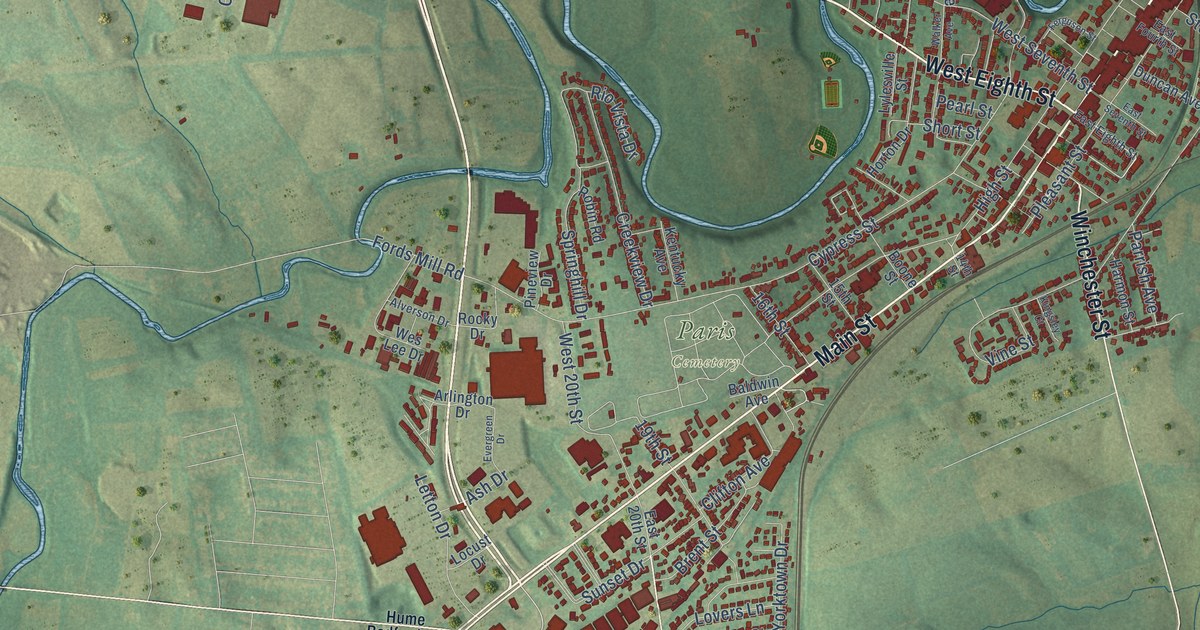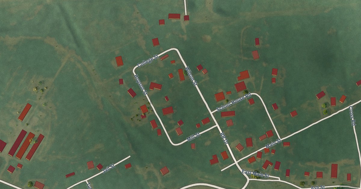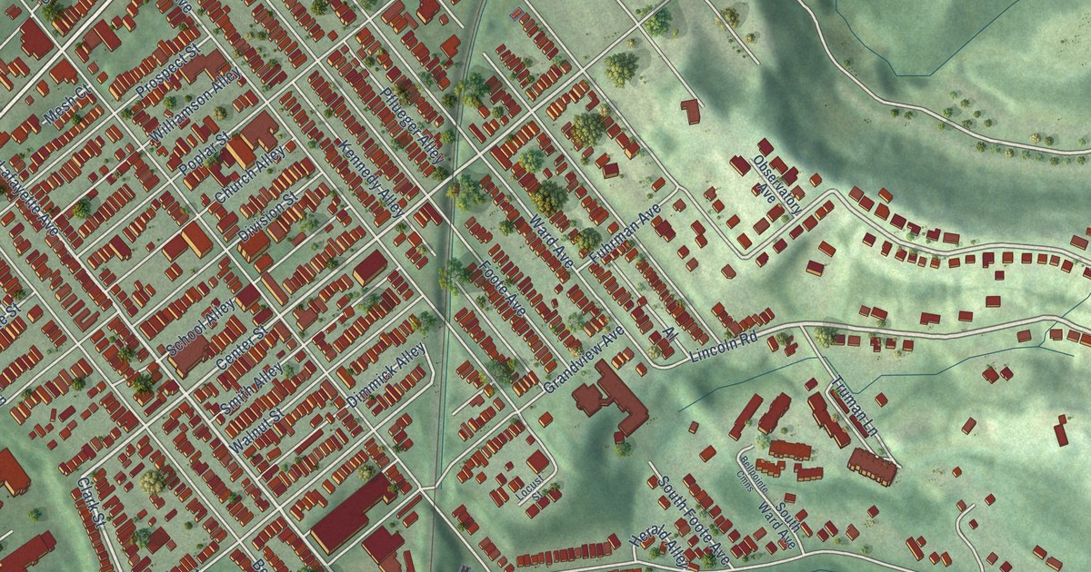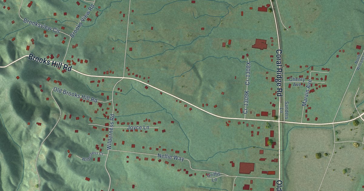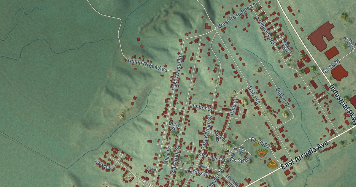
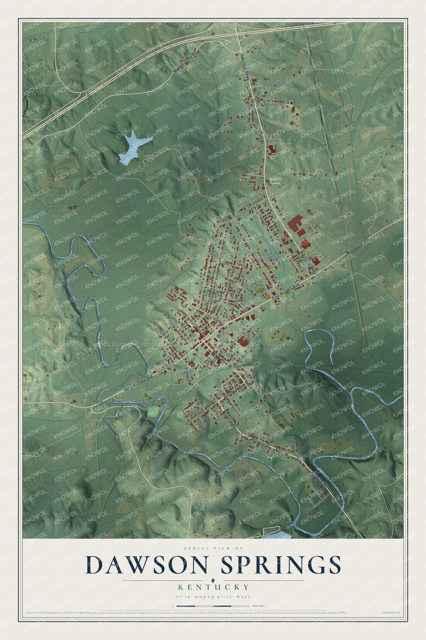
This beautifully detailed map of Dawson Springs, Kentucky was created in 2026 using aerial imagery combined with modern topographical, census, street and landmark data. It’s a one-of-a-kind view of Dawson Springs that combines accurate data with a vintage aesthetic. The map shows every building in its true location, many of the roads carry their names, and the shaded topographic relief shows the shape of the land.
Explore an aerial view of Dawson Springs, Kentucky
On the map you’ll find Dawson Springs Municipal Building and Rosedale Cemetery, along with Scott Street, Industrial Parkway, East Arcadia Avenue, West Arcadia Avenue, Hamby Avenue, South Main Street, Hospital Drive, Hospital Road, Nortonville Road, Walnut Grove Road, and more. If you look closely you can even find your house accurately drawn in its correct location. Zoom in on the preview to look for yours.
Did you know this about Dawson Springs, Kentucky?
Mineral-water wells and the railroad transformed Dawson Springs into a popular health resort. Visitors could reach the town quickly and reliably to try the waters. That’s from the National Park Service.
Take a closer look at the Dawson Springs map
Street and place names on the Dawson Springs, Kentucky map
These names are printed on the map of Dawson Springs, Kentucky.
Places: Dawson Springs Municipal Building and Rosedale Cemetery.
Streets and roads: Scott Street, Industrial Parkway, East Arcadia Avenue, West Arcadia Avenue, Hamby Avenue, South Main Street, Hospital Drive, Hospital Road, Nortonville Road, Walnut Grove Road, East Walnut Street, North Main Street.
More street names, A to Z
Alexander Street, Alley 1, Alley 2, Alley 4, Alley 5, Alley 9, Alley 12, Alley 13, Argo Avenue, Baxter Avenue, Burris Avenue, Buzzard Lane, Cedar Street, City Park Road, Clarkdale Court, Cook Street, Cr-1505, Cross Street, Cs-2035, Cs-2038, Cs-2057, Cs-2061, Cs-2106, Depot Street, Dogwood Lane, Doris Street, East Hall Street, East Keigan Street, East Ramsey Street, East Rosedale Lane, Eddie Beshear Drive, Elaine Drive, Eli Street, Flower Street, Franklin Street, Frederick Road, Gower Drive, Hayes Street, Hickory Street, Hillcrest Drive, Holmes Street, Hosick Avenue, Hospital Road Spr, Hubert Williams Road, Hunter Street, Jimmy Lovell Road, Lake Street, Lakeview Drive, Locust Street, Lumber Street, Meadows Hill Drive, Messamore Road, Mill Dam Road, Mine Equipment Road, Mineral Street, North Russell Street, North Trim Street, Oak Heights, Park Avenue, Park Road, Pine Street, Poplar Street, Railroad Street, River Street, Rosedale Court, School Street, Smith Street, South Parker Street, South Russell Street, South Trim Street, Sycamore Street, Union Grove Avenue, Water Street, West Hall Street, West Keigan Street, West Munn Street, West Rosedale Lane.
See the Dawson Springs, Kentucky map on a wall
The Dawson Springs map as an 18 x 24 inch print in a black frame.

This beautifully detailed map of Dawson Springs makes an attractive addition to your office, library, or den, and it can even be used to teach children the geography and history of the area. It also makes a great gift for anyone with Dawson Springs roots. When you’re done exploring, click here to get your copy of the Dawson Springs map.