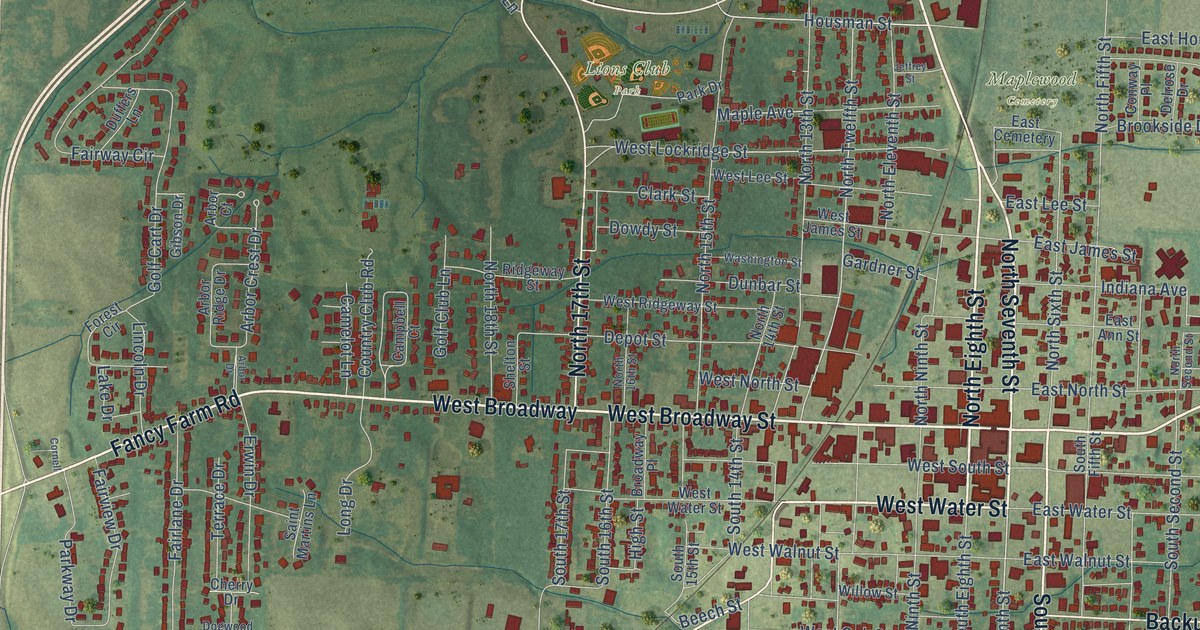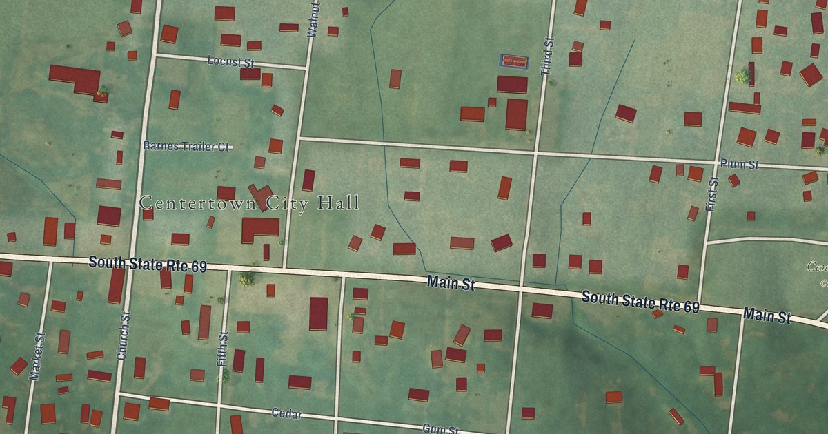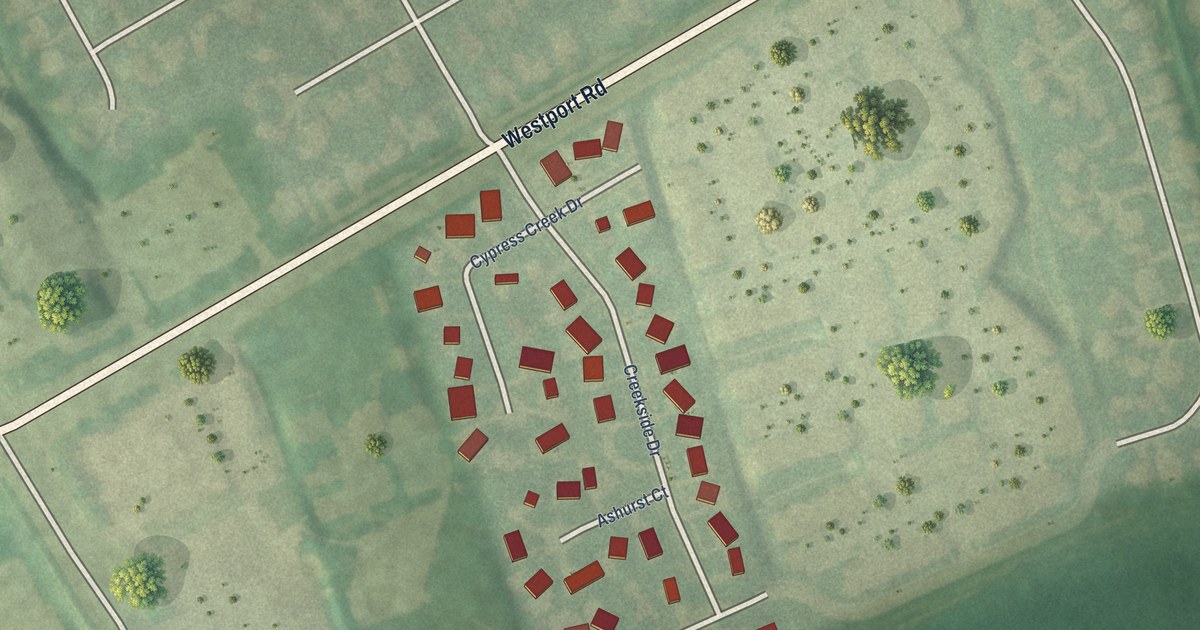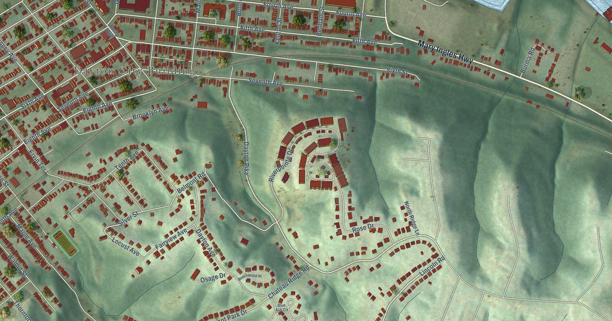
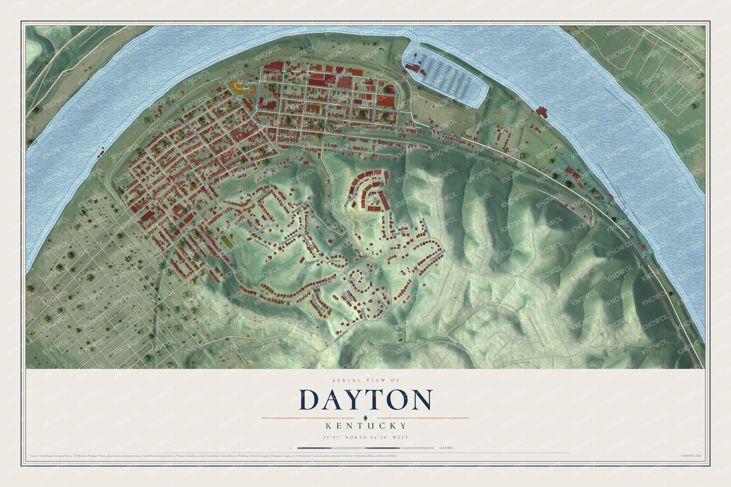
This beautifully detailed map of Dayton, Kentucky was created in 2026 using aerial imagery combined with modern topographical, census, street and landmark data. It's a modern aerial view of Dayton in Campbell County, Kentucky, that combines modern data with a vintage aesthetic. The roads feature printed names, and if you look closely you can find your exact house accurately shown in its correct location.
Explore an aerial view of Dayton, Kentucky
On this map you'll find Dayton City Building, Sargeant Park, Gil Lynn Park, Bellevue, Mary Ingles Highway, Lincoln Road, Dayton Pike, Sixth Avenue, Fourth Avenue, Silver Street, Locust Avenue, Eighth Avenue, and more. Each red shape is a building, so zoom in on the preview and look for yours.
Dayton has a story worth telling. The National Register of Historic Places puts it this way: "Dayton is a fairly old, close-knit, largely German
Catholic community, and this high school, used for almost fifty years
until 1982-83, when a replacement was built nearby, was a major local
institution."
Dayton is a city in Campbell County. The Census Bureau counted 5,666 people here in 2020.
Take a closer look at the Dayton map
Names on this map
These names are printed on this map.
Places: Dayton City Building, Sargeant Park, Gil Lynn Park and Bellevue.
Streets and roads: Mary Ingles Highway, Lincoln Road, Dayton Pike, Sixth Avenue, Fourth Avenue, Silver Street, Locust Avenue, Eighth Avenue, Second Avenue, Belmont Road, Dayton Avenue, McKinney Avenue.
More street names, A to Z
Beechwood Place, Benham Street, Berry Avenue, Berry Street, Blue Ash Circle, Boone Street, Brooklyn Avenue, Burma Road, Chateau Ridge Drive, Chateau Ridge Road, Clark Street, Clay Street, Covert Run Pike, Dodd Drive, Ervin Terrace, Fairview Avenue, Fifth Avenue, Grant Park Drive, Greendevil Lane, Kenton Street, Lincoln Avenue, Lindsey Street, Lynn Drive, Main Street, Manhattan Boulevard, Maple Avenue, Michigan Avenue, Ninth Avenue, North Ridge Lane, Osage Drive, Riverpointe Drive, Rose Drive, Sargeant Drive, Seventh Avenue, Sixth Street, Tenth Avenue, Third Avenue, Thornton Street, Vine Street, Walnut Street.
Created by KNOWOL in 2026. The buildings are small red shapes, the roads carry their printed names, and shaded relief shows the shape of the land. The title panel reads "AERIAL VIEW OF DAYTON KENTUCKY" with 39°07' NORTH 84°28' WEST.
It looks right in a kitchen, an office or a den, and it's a gift for anyone who grew up in Dayton or moved away. Open the preview and find your street. See sizes and frames for the Dayton map.