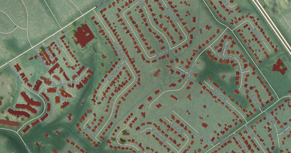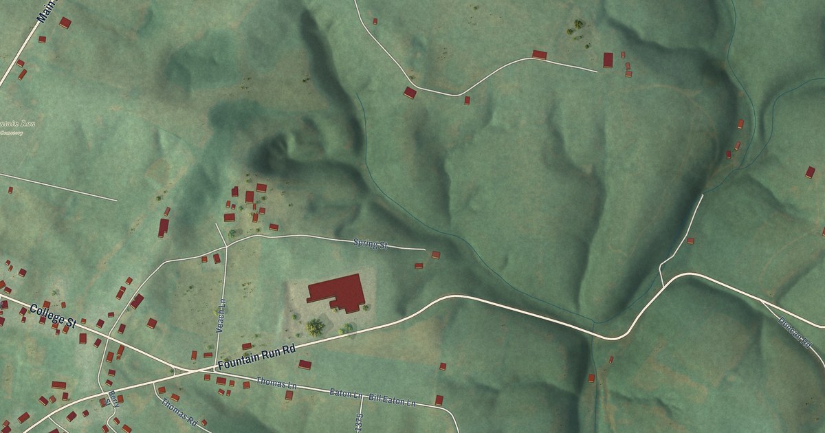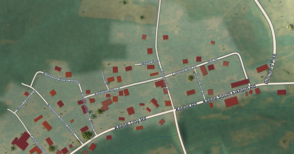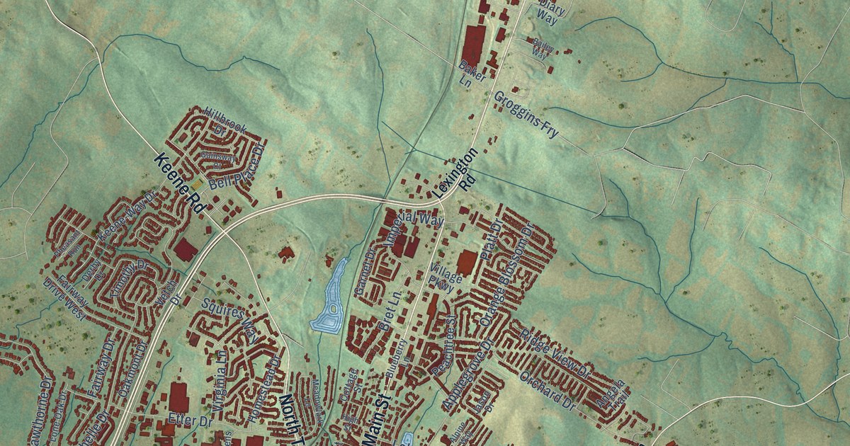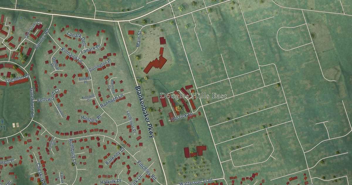
This beautifully detailed map of Douglass Hills, Kentucky was created in 2026 using aerial imagery combined with modern topographical, census, street and landmark data. It’s a one-of-a-kind view of Douglass Hills that combines accurate data with a vintage aesthetic. The map shows every building in its true location, many of the roads carry their names, and the shaded topographic relief shows the shape of the land.
Explore an aerial view of Douglass Hills, Kentucky
On the map you’ll find Douglas Hills East and Sycamore, along with Blankenbaker Parkway, Shelbyville Road, Watterson Trail, Main Street, Moser Road, Gatehouse Lane, Running Creek Road, Finchley Road, Kinnaird Lane, Whiteheath Lane, and more. If you look closely you can even find your house accurately drawn in its correct location. Zoom in on the preview to look for yours.
Did you know this piece of Douglass Hills, Kentucky history?
From the WAVE 3 News: "Douglass Hills is named for J.J. Douglass, a 19th-century horseman, landowner and whiskey producer, according to a release. He owned the Douglas Park racetrack, which was later operated by Churchill Downs."
Take a closer look at the Douglass Hills map
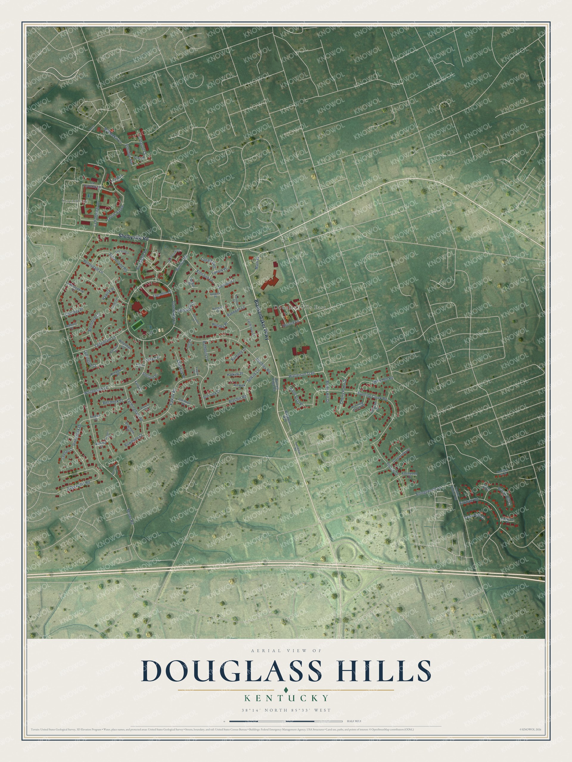
Street and place names on the Douglass Hills, Kentucky map
These names are printed on the map of Douglass Hills, Kentucky.
Places: Douglas Hills East and Sycamore.
Streets and roads: Blankenbaker Parkway, Shelbyville Road, Watterson Trail, Main Street, Moser Road, Gatehouse Lane, Running Creek Road, Finchley Road, Kinnaird Lane, Whiteheath Lane, Edgewater Road, Falkirk Road.
More street names, A to Z
Ainwick Court, Alloway Court, Armadale Place, Bell Rock Court, Berry Hill Road, Berwick Place, Bowmore Court, Bowmore Place, Brechin Road, Brentford Court, Brierly Hill Court, Brierly Hill Place, Bruner Hill Drive, Burnett Ridge Road, Burnley Road, Burnsdale Road, Charlestown Court, Cherry Point Drive, Chertsey Place, Cheskirk Place, Chesterton Place, Coatbridge Place, Cowgill Place, Creason Court, Darlington Place, Dartford Place, Dorsey Lane, Dunbar Place, Edenwood Drive, Ellingsworth Lane, Ethridge Avenue, Falkirk Court, Farmingham Road, Fellswood Court, Fellswood Place, Findon Court, Glenbarr Place, Grand Vista Place, Greenock Court, Greenvalley Drive, Halkirk Place, Hawick Place, Helmsdale Lane, Herrick Lane, Hillrose Drive, Huntley Place, Karly Court, Kilrenny Court, Kinnaird Court, Kinross Court, Kinross Place, Kirkham Road, La Fontenay Court, La Fontenay Drive, Lanark Dell, Lanark Place, Langholm Place, Larkhall Court, La Ruisseau Road, Laurie Vallee, Lawrencekirk Court, Ledbury Court, Lochinvar Place, Logsdon Court, Lymington Court, McMeekin Lane, North Pope Lick Road, Piatt Place, Rannoch Court, Rannoch Lane, Rothbury Lane, Running Creek Place, Selkirk Lane, Shetland Place, Silvercrest Lane, Speckman Road, Stoneykirk Drive, Sunderland Place, Sunderland Road, Tamworth Court, Tattenham Lane, Thorpe Drive, Tucker Station Road, Watterson Way, Wenlock Court, Willenhall Court.
See the Douglass Hills, Kentucky map on a wall
The Douglass Hills map as an 18 x 24 inch print in a black frame.

This beautifully detailed map of Douglass Hills makes an attractive addition to your office, library, or den, and it can even be used to teach children the geography and history of the area. It also makes a great gift for anyone with Douglass Hills roots. When you’re done exploring, click here to get your copy of the Douglass Hills map.