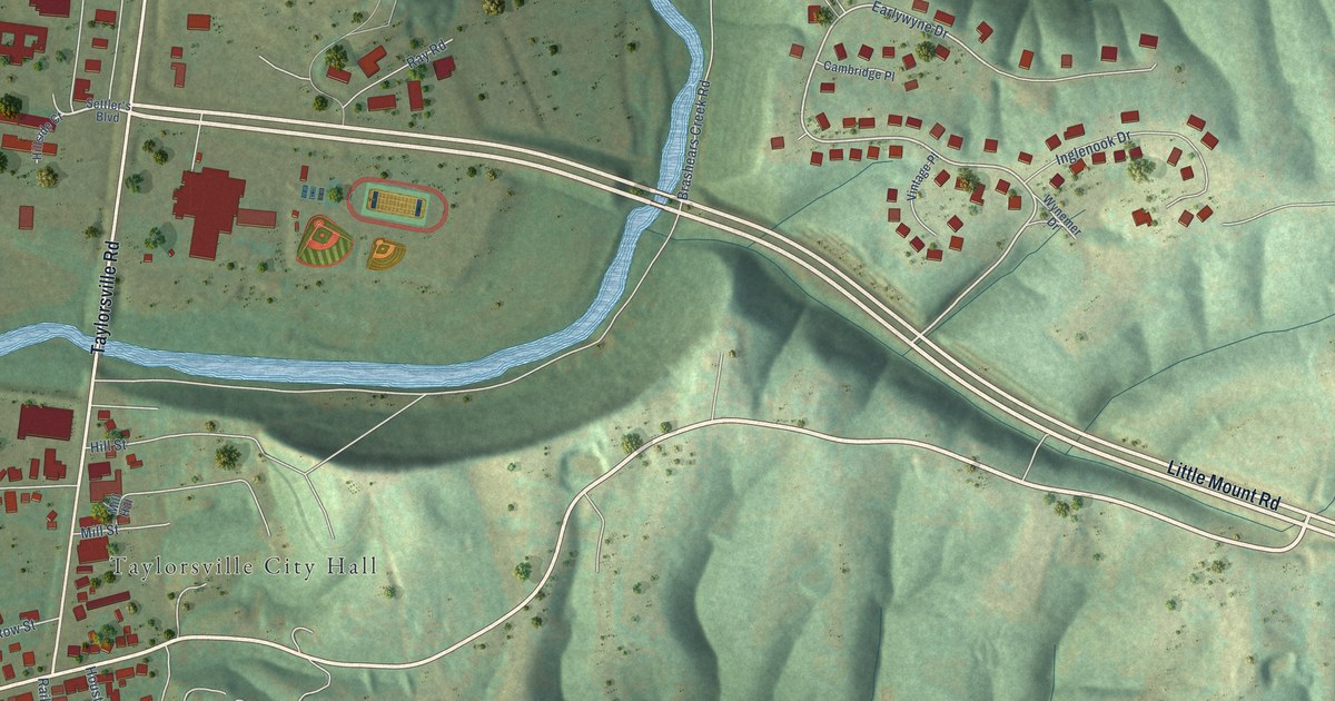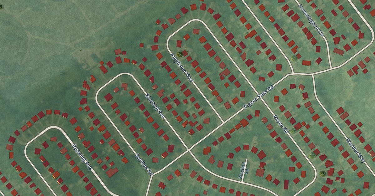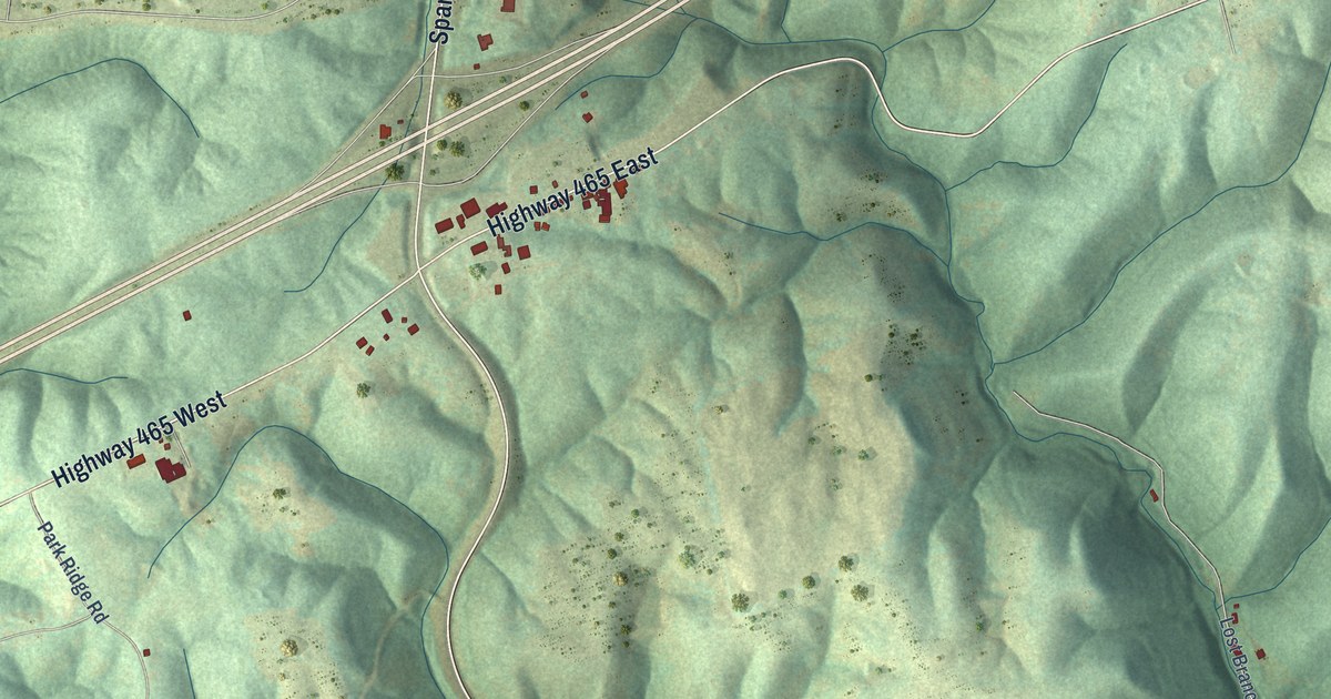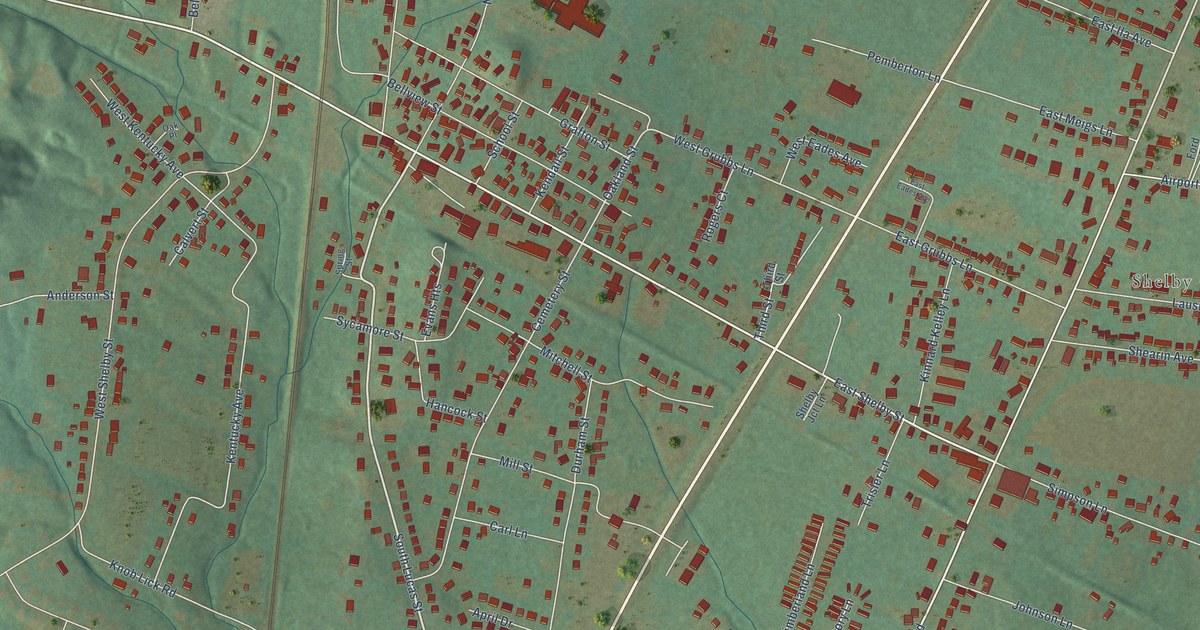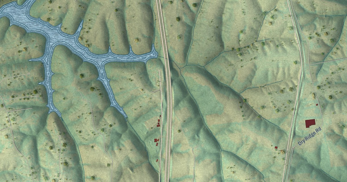
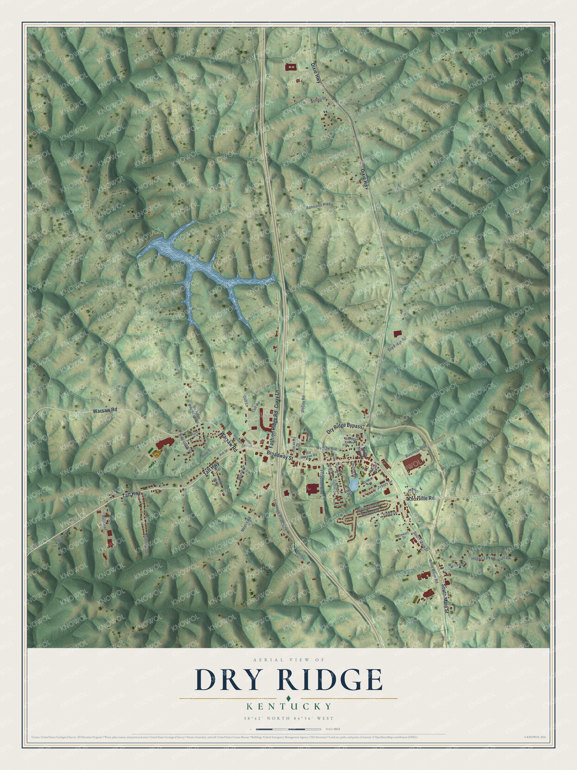
This beautifully detailed map of Dry Ridge, Kentucky was created in 2026 using aerial imagery combined with modern topographical, census, street and landmark data. It's a modern aerial view of Dry Ridge in Grant County, Kentucky, that combines modern data with a vintage aesthetic. The roads feature printed names, and if you look closely you can find your exact house accurately shown in its correct location.
Explore an aerial view of Dry Ridge, Kentucky
On this map you'll find Taft Highway, South Main Street, Broadway Street, Dry Ridge Bypass, Fashion Ridge Road, Warsaw Road, Dixie Highway, Curry Lane, Knoxville Road, Arnie Risen Road, Race Street, Meeks Road, and more. Each red shape is a building, so zoom in on the preview and look for yours.
Here is a piece of Dry Ridge history, in the words of the record. The Internet Archive puts it this way: "A Poplar Tree , 9 feet in diameter, was a notable object for many years. It grew near the present Baptist church, above the village of Dry Ridge, and was cut down in 1831."
Dry Ridge is a city in Grant County. The Census Bureau counted 2,102 people here in 2020.
Take a closer look at the Dry Ridge map
Names on this map
These names are printed on this map.
Streets and roads: Taft Highway, South Main Street, Broadway Street, Dry Ridge Bypass, Fashion Ridge Road, Warsaw Road, Dixie Highway, Curry Lane, Knoxville Road, Arnie Risen Road, Race Street, Meeks Road.
More street names, A to Z
Arbors Drive, Ashley Drive, Ash Street, Bannister Pike, Bc Cotton Drive, Blackburn Lane, Bluff Vw, Brentwood Drive, Brown Lane, Business Boulevard, Church Street, Cull Lane, Cull Road, Dry Ridge Mount Zion Road, Dry Ridge Road, E-Z Street, Ellen Kay Drive, Ferguson Boulevard, Frontage Road No 5, Gilbert Avenue, Hogan's Parkway, Hopperton Lane, Judith Street, Kings Drive, Lake Street, McCoy Road, Meadowview Circle, Michigan Avenue, New del Drive, North Main Street, Oak Street, Old Warsaw Road, Pine Street, Redwood Drive, Ridgeview Circle, Ridgeview Drive, Ruthman, Short Race Street, Stewart Drive, Theater Drive, Walnut Street, Warsaw Avenue, Wilorn Drive, Wood Gate.
Created by KNOWOL in 2026. The buildings are small red shapes, the roads carry their printed names, and shaded relief shows the shape of the land. The title panel reads "AERIAL VIEW OF DRY RIDGE KENTUCKY" with 38°42' NORTH 84°36' WEST.
It suits a den, a classroom or a front hall, and it makes a gift for anyone with Dry Ridge roots. Open the preview and find the block you know. See sizes and frames for the Dry Ridge map.