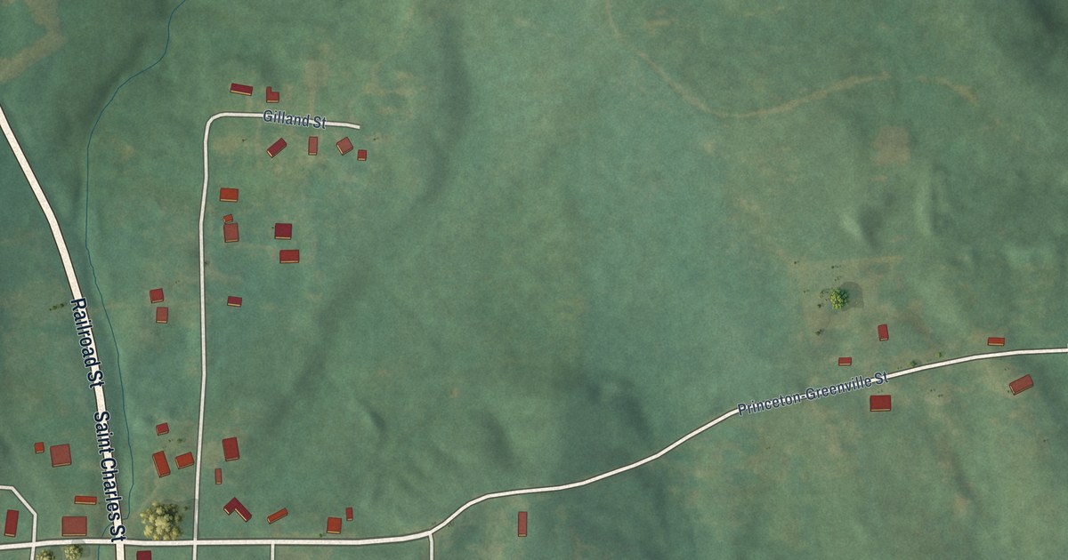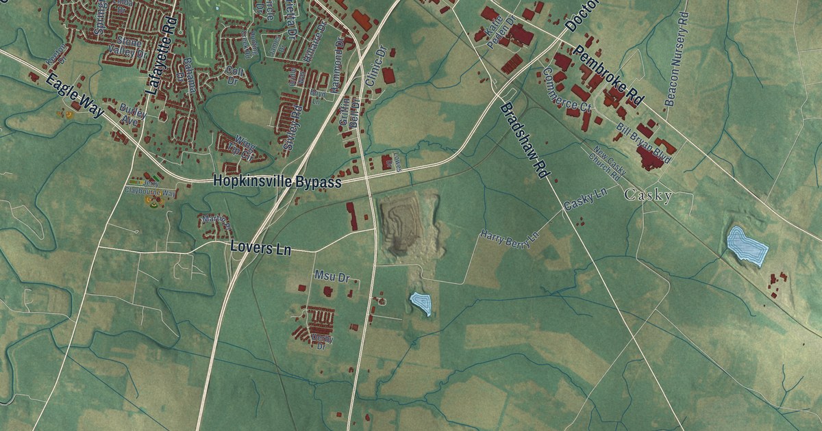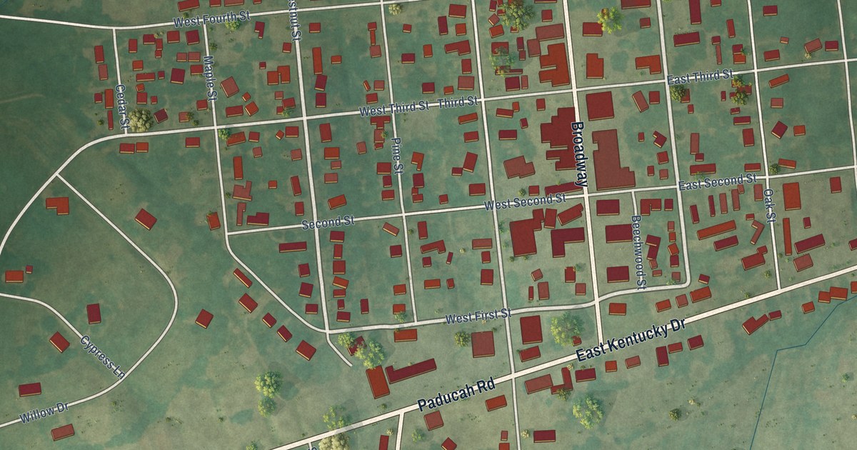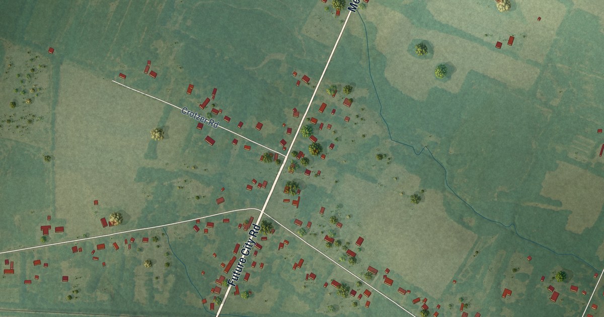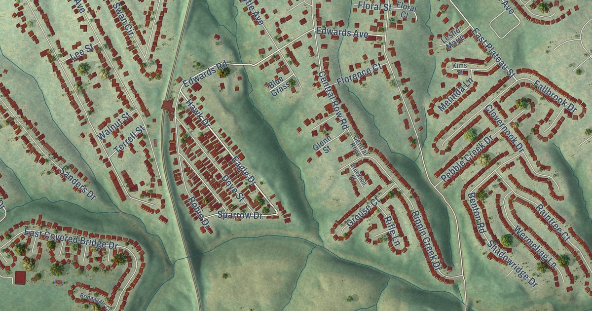
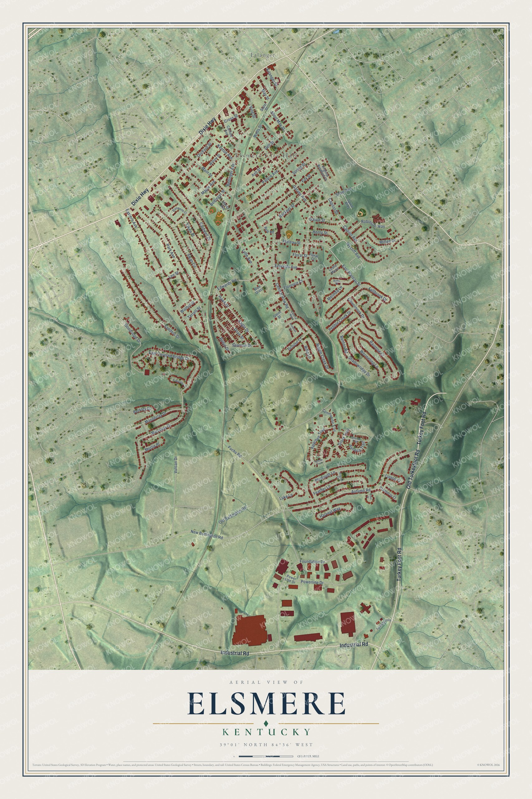
This beautifully detailed map of Elsmere, Kentucky was created in 2026 using aerial imagery combined with modern topographical, census, street and landmark data. It’s a one-of-a-kind view of Elsmere that combines accurate data with a vintage aesthetic. The map shows every building in its true location, many of the roads carry their names, and the shaded topographic relief shows the shape of the land.
Explore an aerial view of Elsmere, Kentucky
On the map you’ll find Elsmere City Hall and Erlanger, along with Turkey Foot Road, Dixie Highway, Industrial Road, Old Turkeyfoot Road, East Plateau Street, Short May Street, Robinson Way, Capitol Street, Wycliff Avenue, Eagle Drive, and more. If you look closely you can even find your house accurately drawn in its correct location. Zoom in on the preview to look for yours.
Did you know this piece of Elsmere, Kentucky history?
From the Kentucky Atlas and Gazetteer: "Elsmere is a western Kenton county city about five miles west of Covington. It was originally known as South Erlanger."
Take a closer look at the Elsmere map
Street and place names on the Elsmere, Kentucky map
These names are printed on the map of Elsmere, Kentucky.
Places: Elsmere City Hall and Erlanger.
Streets and roads: Turkey Foot Road, Dixie Highway, Industrial Road, Old Turkeyfoot Road, East Plateau Street, Short May Street, Robinson Way, Capitol Street, Wycliff Avenue, Eagle Drive, Hawk Drive, Edwards Avenue.
More street names, A to Z
Apachee Trail, Apache Trail, Ash Street, Autumn Road, Bedinger Avenue, Bedinger Street, Benton Road, Berkley Drive, Blue Grass, Bridgegate Court, Buckner Street, Caldwell Drive, Capitol Avenue, Carlisle Avenue, Central Row, Central Row Road, Cider Court, Clovernook Drive, Cobbler Court, Commanche Trail, Cranberry Court, Creeknoll Court, Cross Street, Dell Street, Dove Street, East Covered Bridge Drive, Eastern Avenue, Edwards Road, Elken Place, Erlanger Street, Fallbrook Drive, Feather Lane, Floral Court, Floral Street, Florence Court, Foundation Drive, Fox Street, Fuchs Road, Galvin Street, Garvey Avenue, Glenn Street, Goodridge Drive, Grouse Court, Harvest Way, Henry Street, Kenton Avenue, Kims Street, Lee Street, Leslie Marie, Luke Lane, Lytle Avenue, Main Street, Manderlay Drive, Maple Avenue, May Street, Melinda Lane, Merlin Place, Merravay Drive, Mitten Drive, New Buffington Road, Old Buffington Road, Oneida Trail, Orchard Street, Palace Avenue, Park Avenue, Pebble Creek Drive, Pilgrim Lane, Plateau Street, Plymouth Lane, Powerline Drive, Power Line Drive, Raintree Court, Rifle Lane, Ripple Creek Drive, Robin Drive, Ryle Road, Sanders Drive, Seneca Trail, Shadowridge Drive, Shaw Avenue, Sioux Trail, Slater Street, Sparrow Drive, Spiral Alley, Spring Street, Stallworth Court, Swan Circle, Terrell Street, Turkeyfoot Road, Vine Street, Virginia Bradford Court, Vivian Avenue, Vulcan Drive, Walnut Street, Wells Street, Wermeling Lane, Willow Street.
See the Elsmere, Kentucky map on a wall
The Elsmere map as an 18 x 24 inch print in a black frame.

This beautifully detailed map of Elsmere makes an attractive addition to your office, library, or den, and it can even be used to teach children the geography and history of the area. It also makes a great gift for anyone with Elsmere roots. When you’re done exploring, click here to get your copy of the Elsmere map.