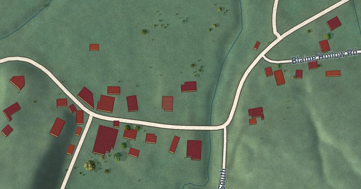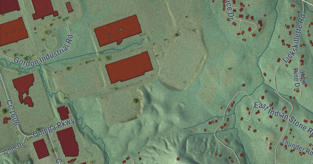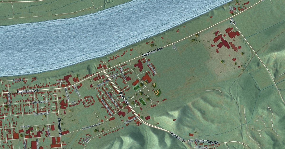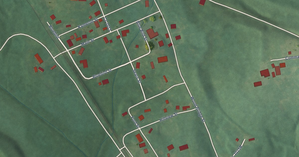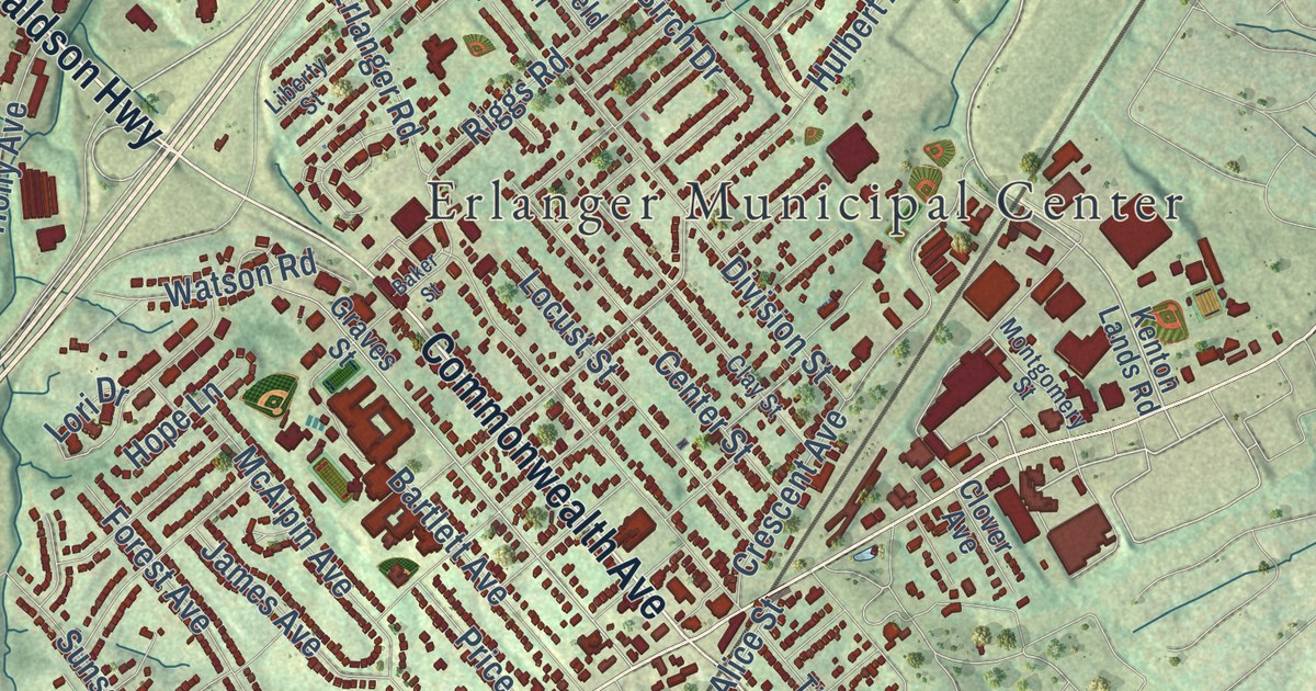
This beautifully detailed map of Erlanger, Kentucky was created in 2026 using aerial imagery combined with modern topographical, census, street and landmark data. It’s a one-of-a-kind view of Erlanger that combines accurate data with a vintage aesthetic. The map shows every building in its true location, many of the roads carry their names, and the shaded topographic relief shows the shape of the land.
Explore an aerial view of Erlanger, Kentucky
On the map you’ll find Erlanger Municipal Center, along with Commonwealth Avenue, Donaldson Highway, Richardson Road, Dixie Highway, Stevenson Road, Turkey Foot Road, Old Turkeyfoot Road, Hulbert Avenue, Crescent Springs Pike, Anderson Road, Riggs Avenue, and more. If you look closely you can even find your house accurately drawn in its correct location. Zoom in on the preview to look for yours.
Did you know this piece of Erlanger, Kentucky history?
From the Kentucky Historical Society: "After depot had served for over 100 years, Norfolk Southern decided to close and destroy it. Instead, Erlanger Historical Soc. saved it; became a museum, 1990."
Take a closer look at the Erlanger map
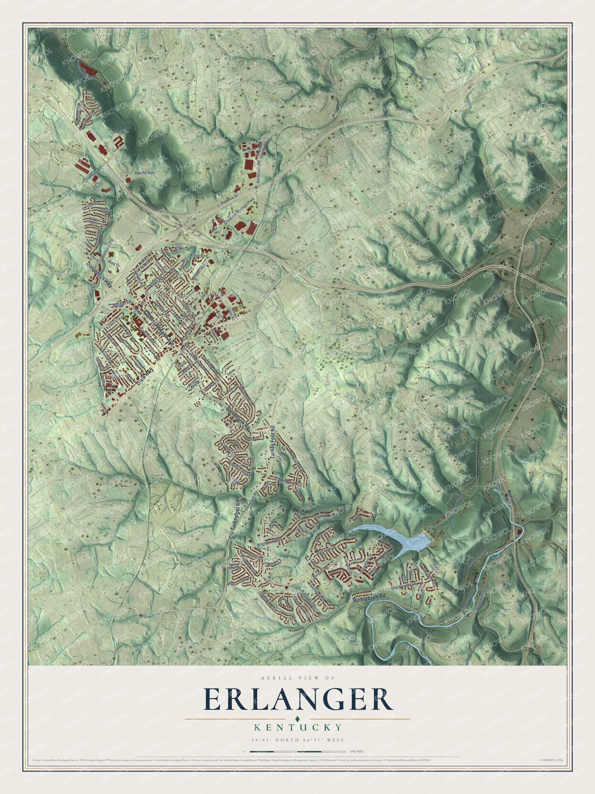
Street and place names on the Erlanger, Kentucky map
These names are printed on the map of Erlanger, Kentucky.
Places: Erlanger Municipal Center.
Streets and roads: Commonwealth Avenue, Donaldson Highway, Dixie Highway, Richardson Road, Stevenson Road, Turkey Foot Road, Old Turkeyfoot Road, Hulbert Avenue, Crescent Springs Pike, Anderson Road, Riggs Avenue, Dolwick Drive.
More street names, A to Z
Alice Street, Appomattox Street, Arbor Drive, Ashmont Drive, Ashridge Court, Atlas Drive, Baker Street, Barkley Drive, Bartlett Avenue, Birch Drive, Bottomwood Drive, Brightleaf Boulevard, Buckhill Drive, Bullock Pen Road, Carriage Hill Drive, Cave Run Drive, Cedar Tree Lane, Center Street, Cherry Tree Lane, Circlewood Drive, Clay Street, Clover Avenue, Concord Drive, Country Road, Crescent Avenue, Crescent Springs Road, Crosswinds Drive, Deerchase Drive, Deertrail Drive, Delphi Drive, Division Street, Doeridge Drive, Dry Creek Road, Eagle Creek Drive, Enterprise Drive, Erlanger Road, Fir Tree Lane, Forest Avenue, Grand Ledge Court, Graves Street, Greenfield Lane, Hallam Avenue, Hartman Road, Holly Avenue, Hope Lane, Jacqueline Drive, James Avenue, Jenny Lane, Kentaboo Drive, Kenton Lands Road, Kincaid Drive, Kingsburg Court, Kruer Court, Lafayette Court, Lakemont Drive, Lakerun Lane, Lexington Drive, Liberty Street, Lindenwood Drive, Linwood Avenue, Locust Street, Lori Drive, Madison Pike, Mary Street, McAlpin Avenue, Mesa Drive, Misty Creek Drive, Mitten Drive, Montgomery Street, Narrows Road, Nelson Road, North Talbot Drive, Old Madison Pike, Olympic Boulevard, Oxford Court, Pacific Avenue, Parkplace Drive, Peach Tree Lane, Perimeter Drive, Pinoak Lane, Pleasure Isle Drive, Price Avenue, Rainbow Terrace, Raymonde Lane, Ridgewood Drive, Riggs Road, Robert East Lee Drive, Rodeo Drive, Rosary Drive, Rosebud Avenue, Sagebrush Lane, Shade Lane, Sherbourne Drive, Shirepeak Way, Sigma Drive, Silverlake Street, Skye Drive, Southway Ridge, Spring Valley Drive, Sunset Avenue, Susan Lewis Drive, Sycamore Tree Lane, Terrace Drive, Thomas Street, Timberlake Avenue, Turfway Road, Turkeyfoot Road, Twinridge Way, Viola Lane, Viox Drive, Watson Road, Westwood Drive, Whitecliff Way, Woodchase Drive, Woodlyn Hills Drive, Woodsedge Drive, Zora Lane.
See the Erlanger, Kentucky map on a wall
The Erlanger map as an 18 x 24 inch print in a black frame.

This beautifully detailed map of Erlanger makes an attractive addition to your office, library, or den, and it can even be used to teach children the geography and history of the area. It also makes a great gift for anyone with Erlanger roots. When you’re done exploring, click here to get your copy of the Erlanger map.