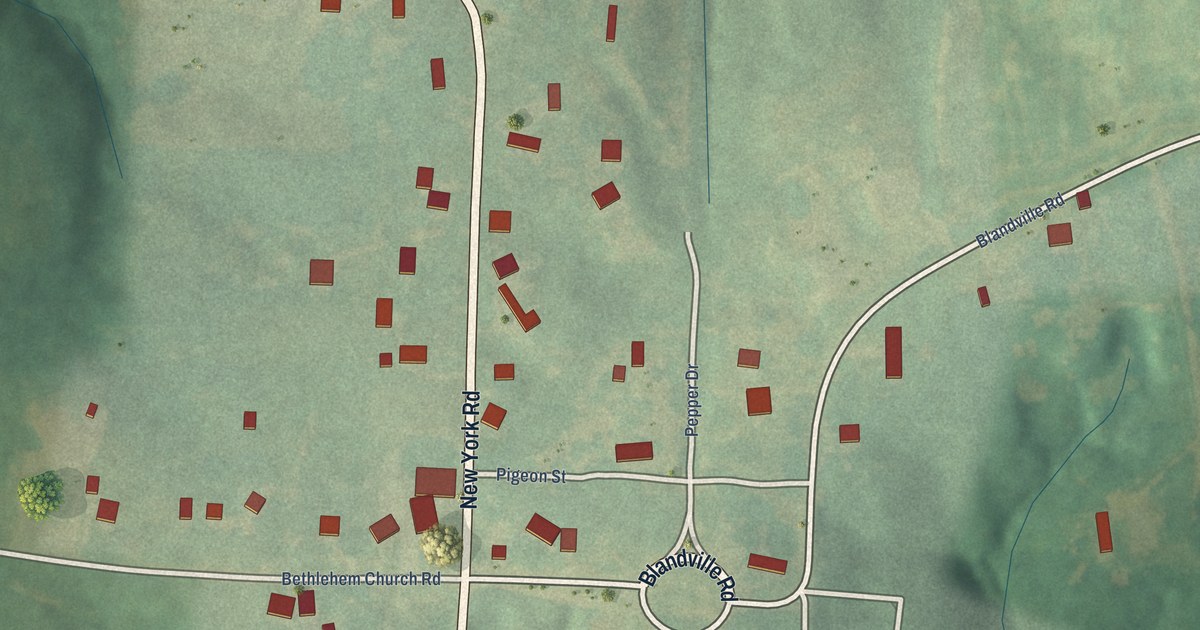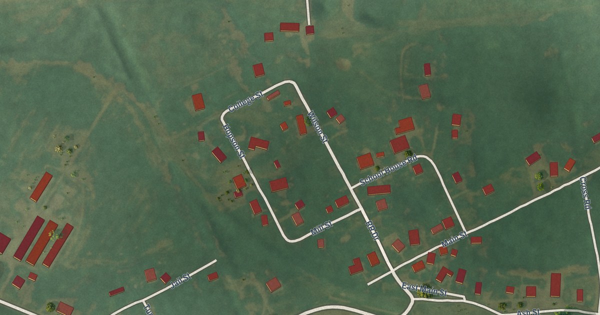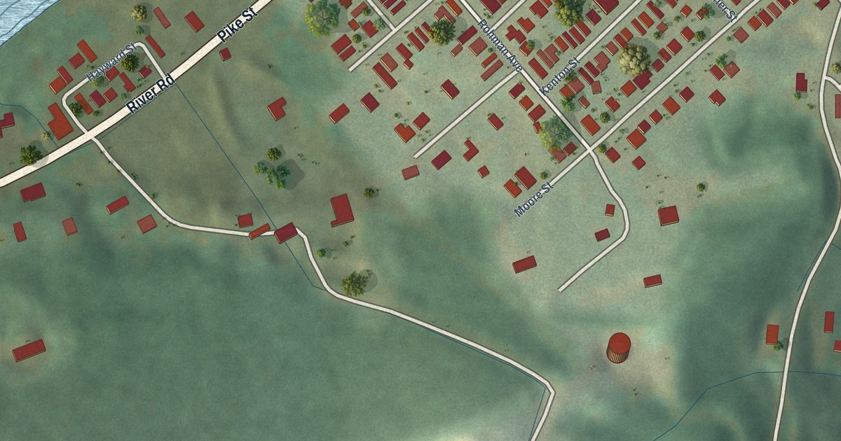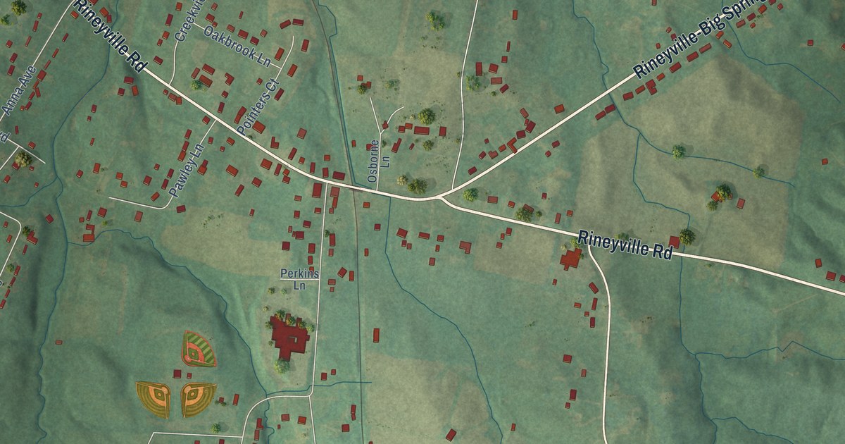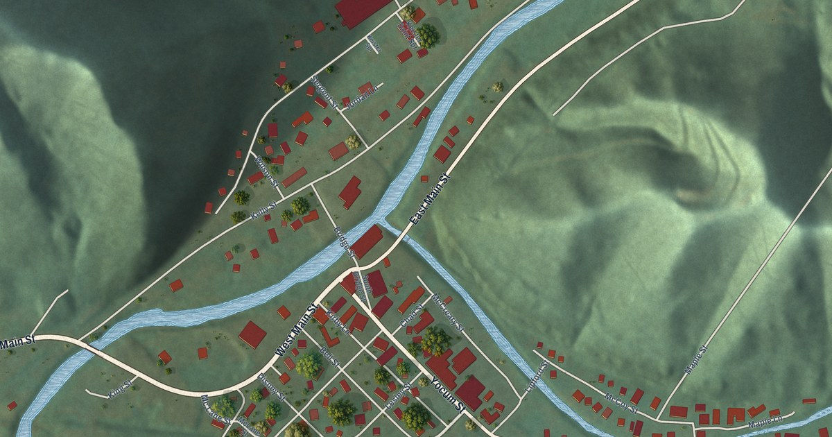
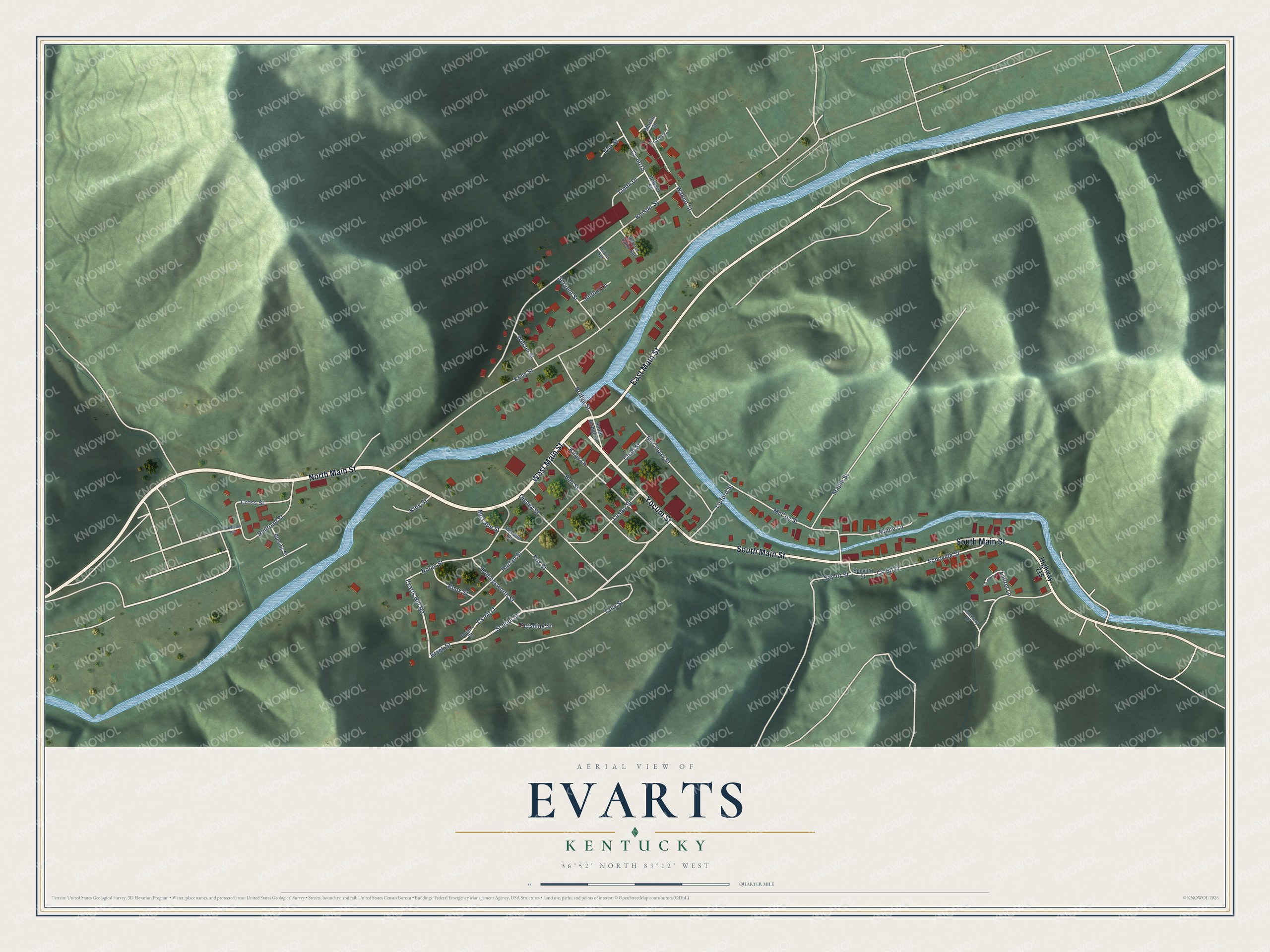
This beautifully detailed map of Evarts, Kentucky was created in 2026 using aerial imagery combined with modern topographical, census, street and landmark data. It’s a one-of-a-kind view of Evarts that combines accurate data with a vintage aesthetic. The map shows every building in its true location, many of the roads carry their names, and the shaded topographic relief shows the shape of the land.
Explore an aerial view of Evarts, Kentucky
On the map you’ll find North Main Street, West Main Street, South Main Street, Yocum Street, East Main Street, School Street, Black Street, Mc Lane Street, Evarts Hill Road, Bell Street, Kelly Street, Keister Street, and more. If you look closely you can even find your house accurately drawn in its correct location. Zoom in on the preview to look for yours.
Did you know this piece of Evarts, Kentucky history?
In 1931 Evarts was one of the few Harlan County towns the coal companies did not own, so evicted and striking miners gathered here. On May 5 that year, mine guards and strikers fought a short gun battle near town, and four men died. Days later National Guard troops arrived, took the miners’ guns and broke up the picket lines.
Take a closer look at the Evarts map
Street names on the Evarts, Kentucky map
These names are printed on the map of Evarts, Kentucky.
Streets and roads: North Main Street, West Main Street, South Main Street, Yocum Street, East Main Street, School Street, Black Street, Mc Lane Street, Evarts Hill Road, Bell Street, Kelly Street, Keister Street.
More street names, A to Z
Blevins Street, Bridge Street, Cemetery Drive, Chad Street, Cross Street, Cs-6011, Cs-6015, Cs-6021, Cs-6034, Disney Street, Elm Street, Fox Street, Fuson Street, Goddard Lane, Harlan Street, Highway 215, Hollingsworth Street, Howard Street, Jordan Lane, Keister Saint Spr, Keister Spr, King Street, Kirby Lane, Knox Street, Laurel Lane, Lesley Street, Linda Drive, Lipford Street, Maple Lane, Maple Street, Martin Street, McCoy Street, McCreary Street, McLane Street, Middleton Avenue, Nolan Street, Pershing Street, Railroad Street, Saylor Street, Schoville Street, Scoville Street, Sergent Street, South Bridge Street, Tally Street, Walnut Street, Wilson Street.
See the Evarts, Kentucky map on a wall
The Evarts map as an 18 x 24 inch print in a black frame.

This beautifully detailed map of Evarts makes an attractive addition to your office, library, or den, and it can even be used to teach children the geography and history of the area. It also makes a great gift for anyone who grew up in Evarts or moved away. When you’re done exploring, click here to get your copy of the Evarts map.