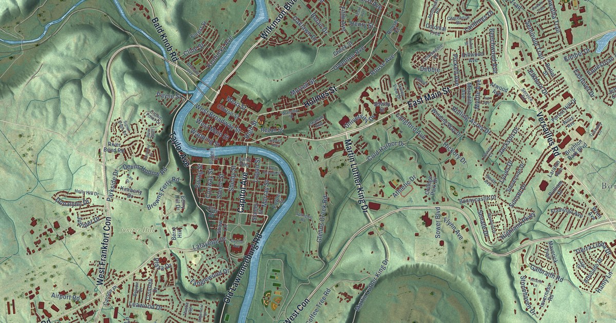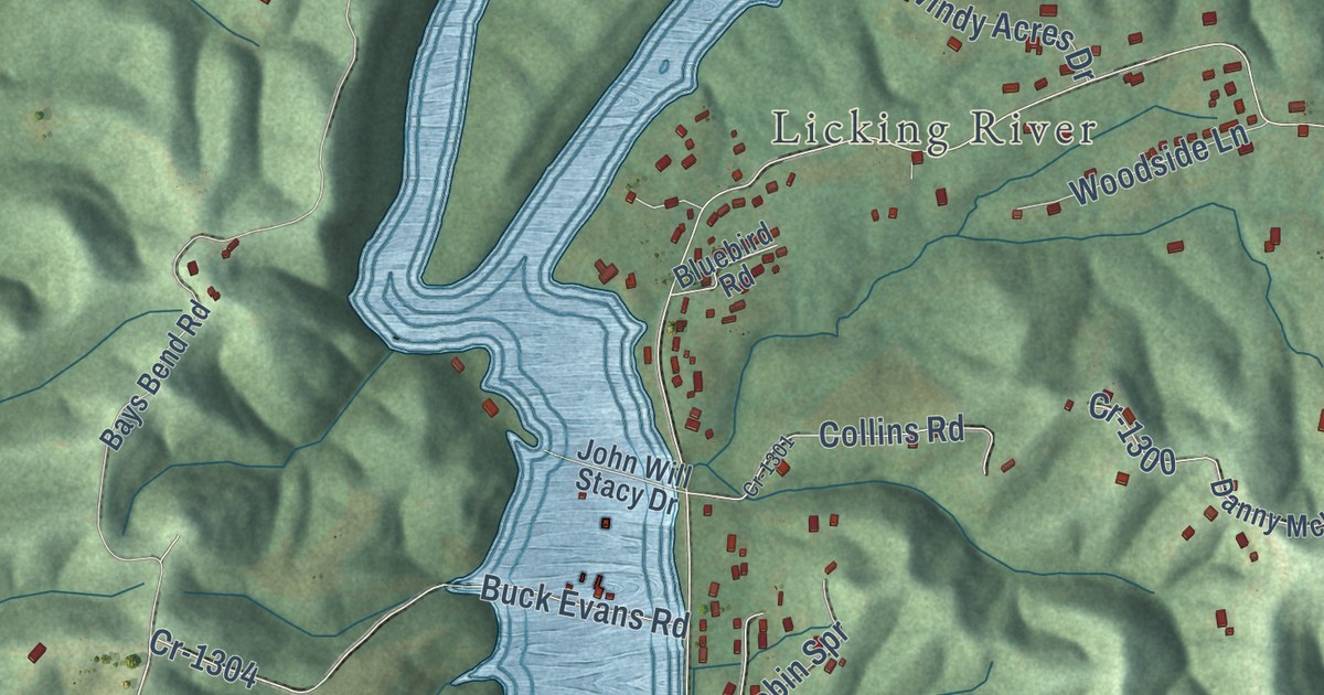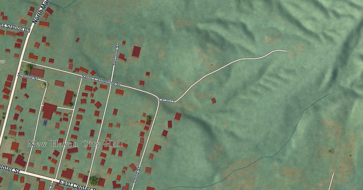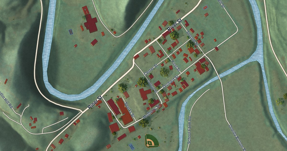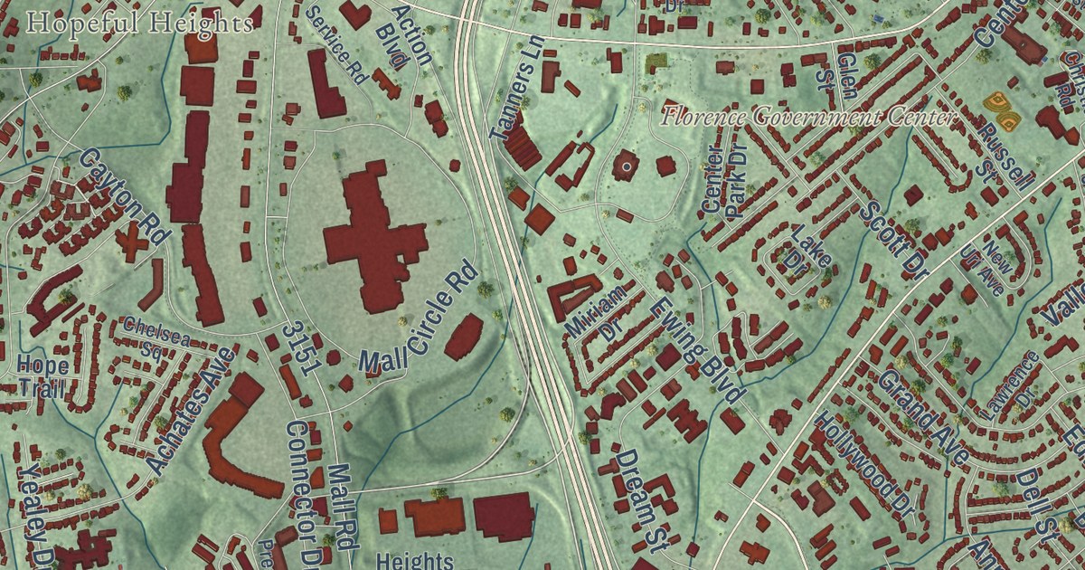
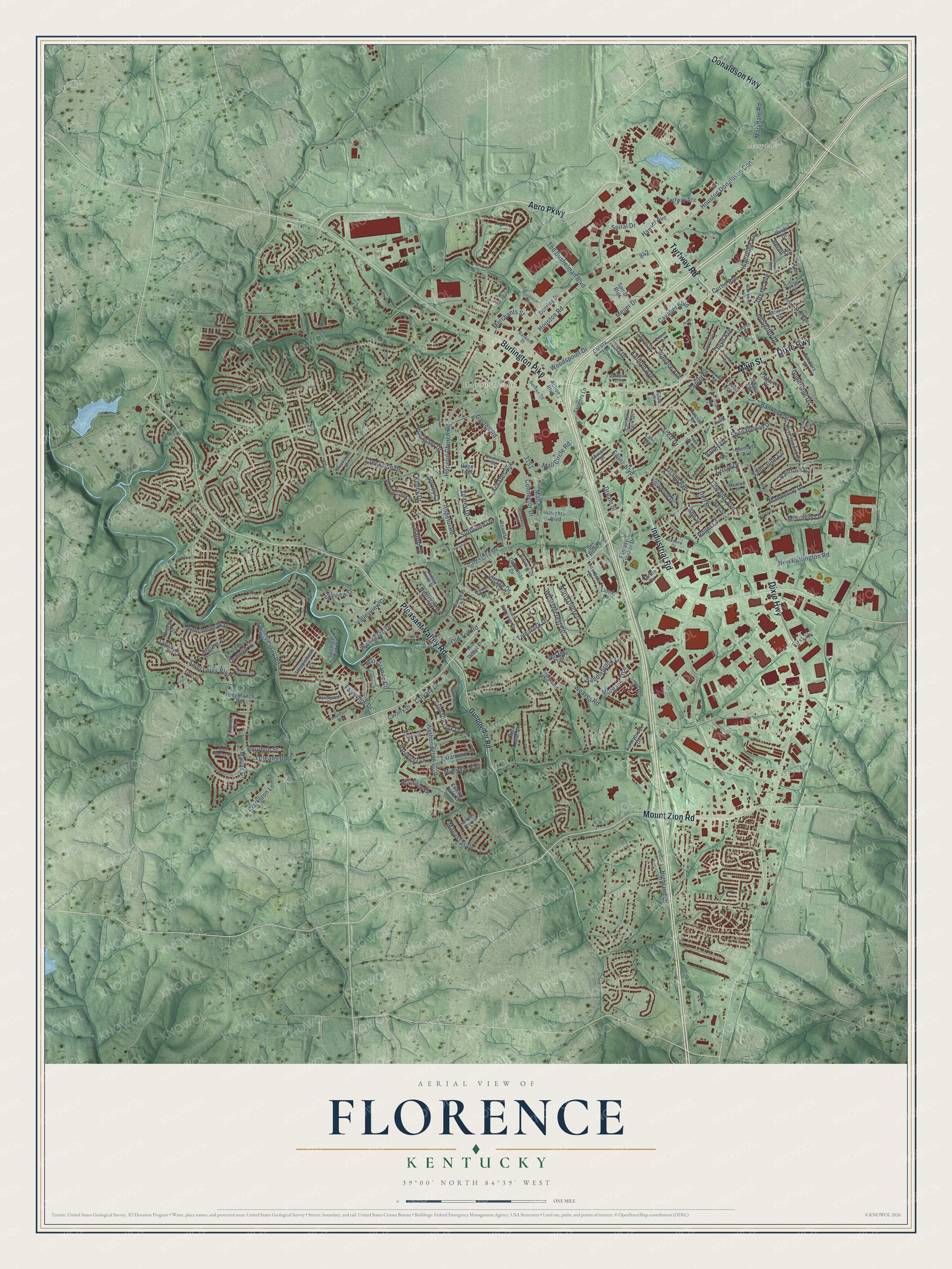
This beautifully detailed map of Florence, Kentucky was created in 2026 using aerial imagery combined with modern topographical, census, street and landmark data. It’s a one-of-a-kind view of Florence that combines accurate data with a vintage aesthetic. The map shows every building in its true location, many of the roads carry their names, and the shaded topographic relief shows the shape of the land.
Explore an aerial view of Florence, Kentucky
On the map you’ll find Marydale, Hopeful Heights, and Sugartit, along with Mount Zion Road, Dixie Highway, Burlington Pike, Turfway Road, Industrial Road, Pleasant Valley Road, Aero Parkway, Main Street, Donaldson Highway, and more. If you look closely you can even find your house accurately drawn in its correct location. Zoom in on the preview to look for yours.
Did you know this piece of Florence, Kentucky history?
From the Kentucky Historical Society: "First Baptist African American Church, Florence was the focal point of the emancipated African American community in the area and their descendants who traveled regularly back to Florence."
Take a closer look at the Florence map
Street and place names on the Florence, Kentucky map
These names are printed on the map of Florence, Kentucky.
Places: Florence Government Center, Marydale and Hopeful Heights.
Streets and roads: Aero Parkway, Turfway Road, Industrial Road, Dixie Highway, Burlington Pike, Pleasant Valley Road, Donaldson Highway, Main Street, Mount Zion Road, Drexel Avenue, Houston Road, Mall Road.
More street names, A to Z
Achates Avenue, Action Boulevard, Airview Drive, Algiers Street, Ann Street, Antoinette Way, Bankers Street, Banklick Street, Barnwood Court, Belair Circle, Belair Drive, Bell Street, Belvedere Court, Bill Wentz Drive, Blackstone Drive, Bourbon Street, Bowmann Way, Breezy Lane, Burgess Lane, Bustetter Drive, Calvary Drive, Cardinal Drive, Carole Lane, Cavalier Boulevard, Cavalry Drive, Cayton Road, Center Park Drive, Center Street, Chateau Court, Chelsea Square, Christian Road, Circle Drive, Clarkston Lane, Claxon Drive, Connector Drive, Coreta Drive, Corinthian Drive, Creekside Drive, Crimson Oak Drive, Crozat Street, Curtis Avenue, Daphne Drive, Dell Street, Doering Drive, Dortha Avenue, Dream Street, Eden Street, Edwards Avenue, Evergreen Drive, Ewing Boulevard, Fair Court, Fantasy Frontier Drive, Farmview Drive, First Street, Fowler Creek Road, Girard Street, Glenrose Avenue, Glen Street, Goodridge Drive, Grand Avenue, Gunpowder Road, Hansel Avenue, Hardwicke Lane, Harpers Ferry Drive, Heights Boulevard, Heritage Drive, Highland Drive, Highridge Avenue, Hollywood Drive, Hopeful Church Road, Hopeful Road, Hope Trail, Houston Donaldson Con, Joann Drive, Kathryn Avenue, Kelley Drive, Kentoboo Avenue, Kernal Drive, Lacresta Drive, Lago Mar Court, Lake Drive, Lapalco Court, Lawrence Drive, Lions Lane, Lloyd Avenue, Locust Lane, Longbranch Road, Lucas Street, Lynn Street, Mall Circle Road, Manassas Drive, Manderlay Drive, Marias Drive, Marydale Road, Meadow Creek Drive, Meadow Lane, Meijer Drive, Merchants Street, Merravay Drive, Mimosa Trail, Miriam Drive, Morgans Trce, Morris Street, New Buffington Road, New Uri Avenue, North Dilcrest, North Evergreen Drive, Oakwood Drive, Ockerman Drive, Old Toll Road, Orleans Boulevard, Ormond Drive, Parkside Drive, Pheasant Drive, Preakness Drive, Quiet Creek Drive, Quinn Drive, Raintree Road, Ravenswood Drive, Rebel Drive, Red Mile Trail, Rio Grande Circle, Roger Lane, Rosetta Drive, Rosetta Lane, Russell Street, Saddlebrook Lane, Saint Charles Circle, Saint Jude Circle, Saint Louis Boulevard, Sanders Drive, Scott Drive, Sebree Drive, Service Road, Shenandoah Drive, Skyview Drive, Smith Street, Southfork Park Drive, Spicewood Avenue, Spiral Boulevard, Spiral Drive, Spruce Drive, Sratton Drive, Steeplebush Lane, Sunnybrook Drive, Surfwood Drive, Surrey Court, Sussex Drive, Svc Road 8, Sweetbriar Avenue, Tamarack Drive, Tanners Lane, Taramore Place, Ted Bushelman Boulevard, Tee Street, Trellises Drive, Turfway Acc, Twelve Oaks Drive, Utz Drive, Valley Circle Drive, Valley Drive, Valleyview Drive, Vandercar Way, Village Drive, Vivian Drive, Wallace Avenue, Waverly Drive, Weaver Road, Wellington Drive, West Dilcrest Circle, Wetherington Boulevard, Woodspoint Drive, Yealey Drive, Youell Street.
See the Florence, Kentucky map on a wall
The Florence map as an 18 x 24 inch print in a black frame.

This beautifully detailed map of Florence makes an attractive addition to your office, library, or den, and it can even be used to teach children the geography and history of the area. It also makes a great gift for someone who left Florence and still calls it home. When you’re done exploring, click here to get your copy of the Florence map.