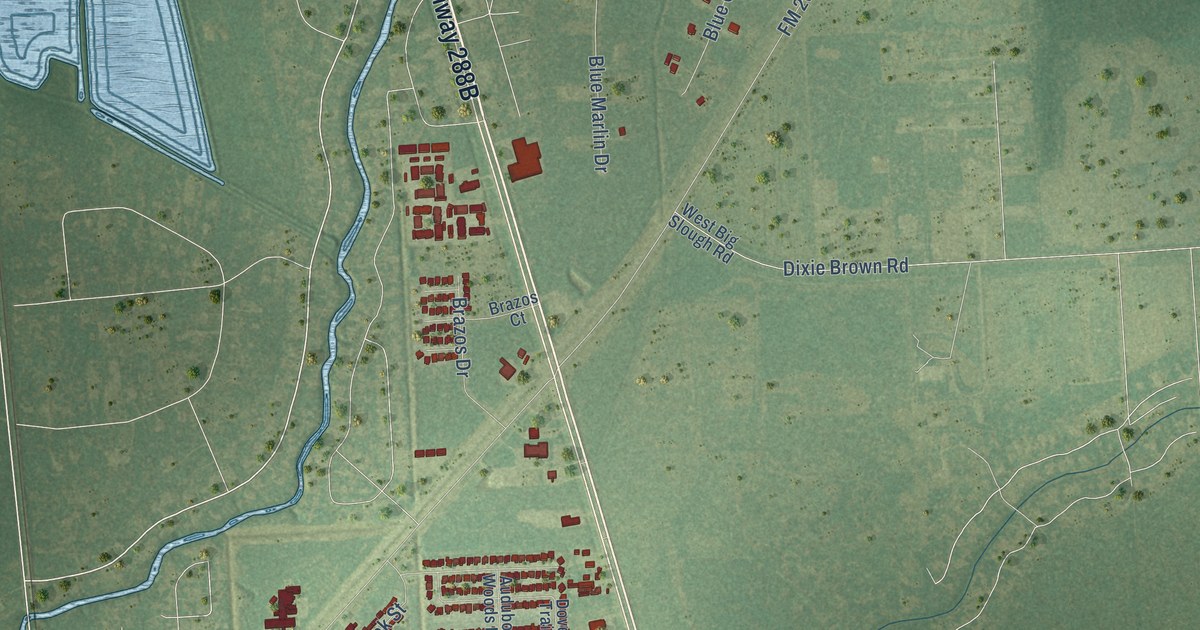
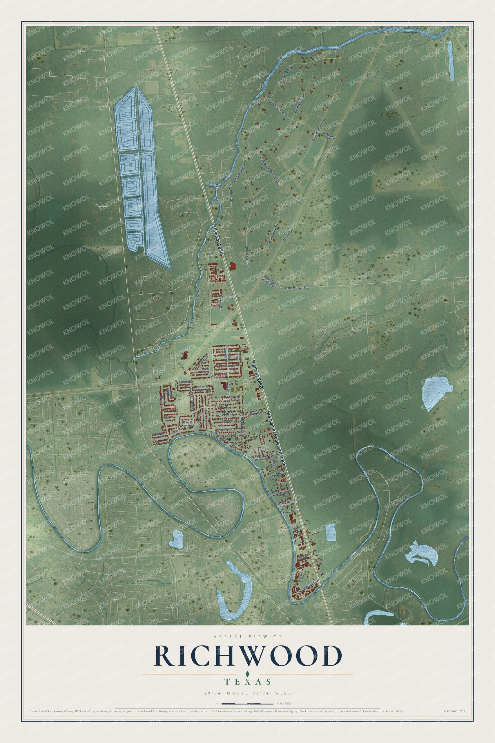
This beautifully detailed map of Richwood, Texas was created in 2026 using aerial imagery combined with modern topographical, census, street and landmark data. It’s a one-of-a-kind view of Richwood that combines accurate data with a vintage aesthetic. The map shows every building in its true location, many of the roads carry their names, and the shaded topographic relief shows the shape of the land.
Explore an aerial view of Richwood, Texas
On the map you’ll find Bayou Bend, along with Brazosport Boulevard North, Highway 288B, FM 2004, Amberjack Drive, Blue Marlin Drive, West Mahan Street, Blue Crab Court, Moore Street, Redfish Trail, Oyster Creek Drive, Oakwood Shores Drive, and more. If you look closely you can even find your house accurately drawn in its correct location. Zoom in on the preview to look for yours.
Did you know this piece of Richwood, Texas history?
From the Handbook of Texas: "Some time after 1944 the community was one of several incorporated towns and communities drawn into the Brazosport industrial and port area."
Take a closer look at the Richwood map
Street names on the Richwood, Texas map
These names are printed on the map of Richwood, Texas.
Streets and roads: Brazosport Boulevard North, FM 2004, Amberjack Drive, Bayou Bend, Blue Marlin Drive, West Mahan Street, Blue Crab Court, Moore Street, Redfish Trail, Oyster Creek Drive, Oakwood Shores Drive, Cardinal Drive.
More street names, A to Z
Audubon Woods Drive, Bayou View Court, Bluebird Court, Blue Jay Court, Blue Jay Drive, Brazos Court, Brazos Drive, Briarcreek Street, Burkett Street, Camellia, Cardinal Court, Cardinal Street, Cedar Drive, College Drive, Cottonwood Drive, Creekwood Landing, Cypress Court, Cypress Drive, Dixie Brown Road, Dove Trail, Eagle Nest Court, Edgewater Street, Glen Forest Drive, Gold Finch Court, Halbert Street, Hickory Drive, Hollyhock Street, Jasmine Street, June Court, Magnolia Lane, Majors Court, North Mahan Street, North Yaupon Street, Oakwood Trail, Oyster Creek Court, Quail Run Drive, Richwood Drive, Robin Trail, San Saba Street, Schley Street, Stuart Street, Success Street, Sycamore Drive, Timbercreek Drive, Walnut Drive, West Big Slough Road, Wisteria Street.
See the Richwood, Texas map on a wall
The Richwood map as an 18 x 24 inch print in a black frame.

This beautifully detailed map of Richwood makes an attractive addition to your office, library, or den, and it can even be used to teach children the geography and history of the area. It also makes a great gift for anyone who grew up in Richwood or moved away. When you’re done exploring, click here to get your copy of the Richwood map.