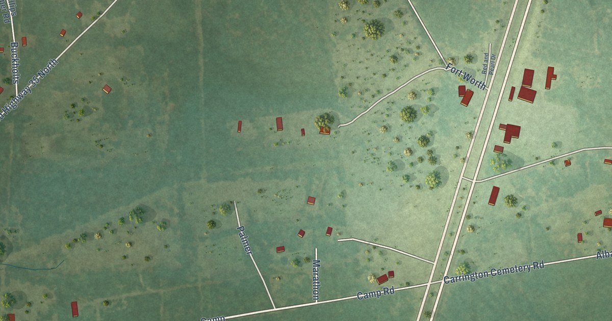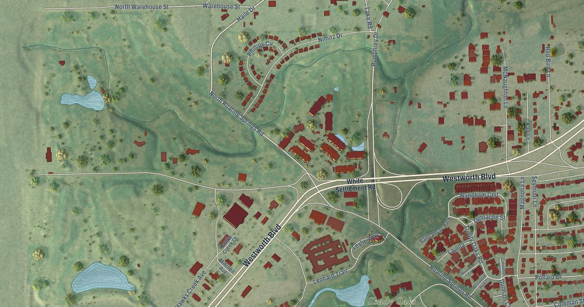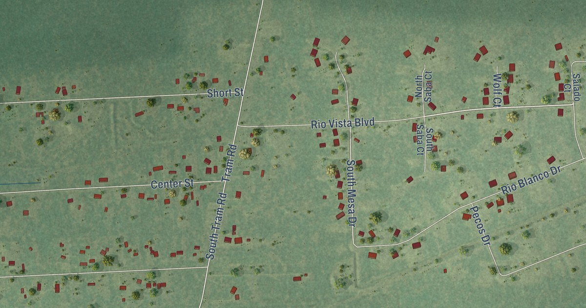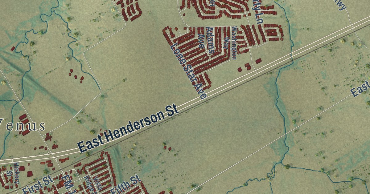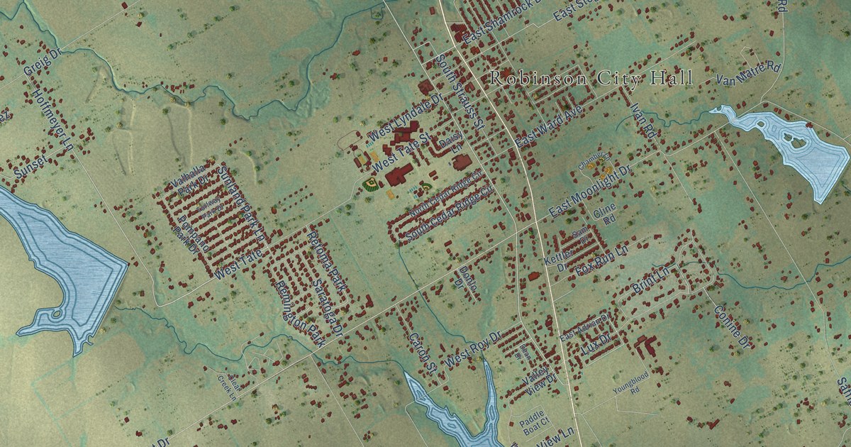
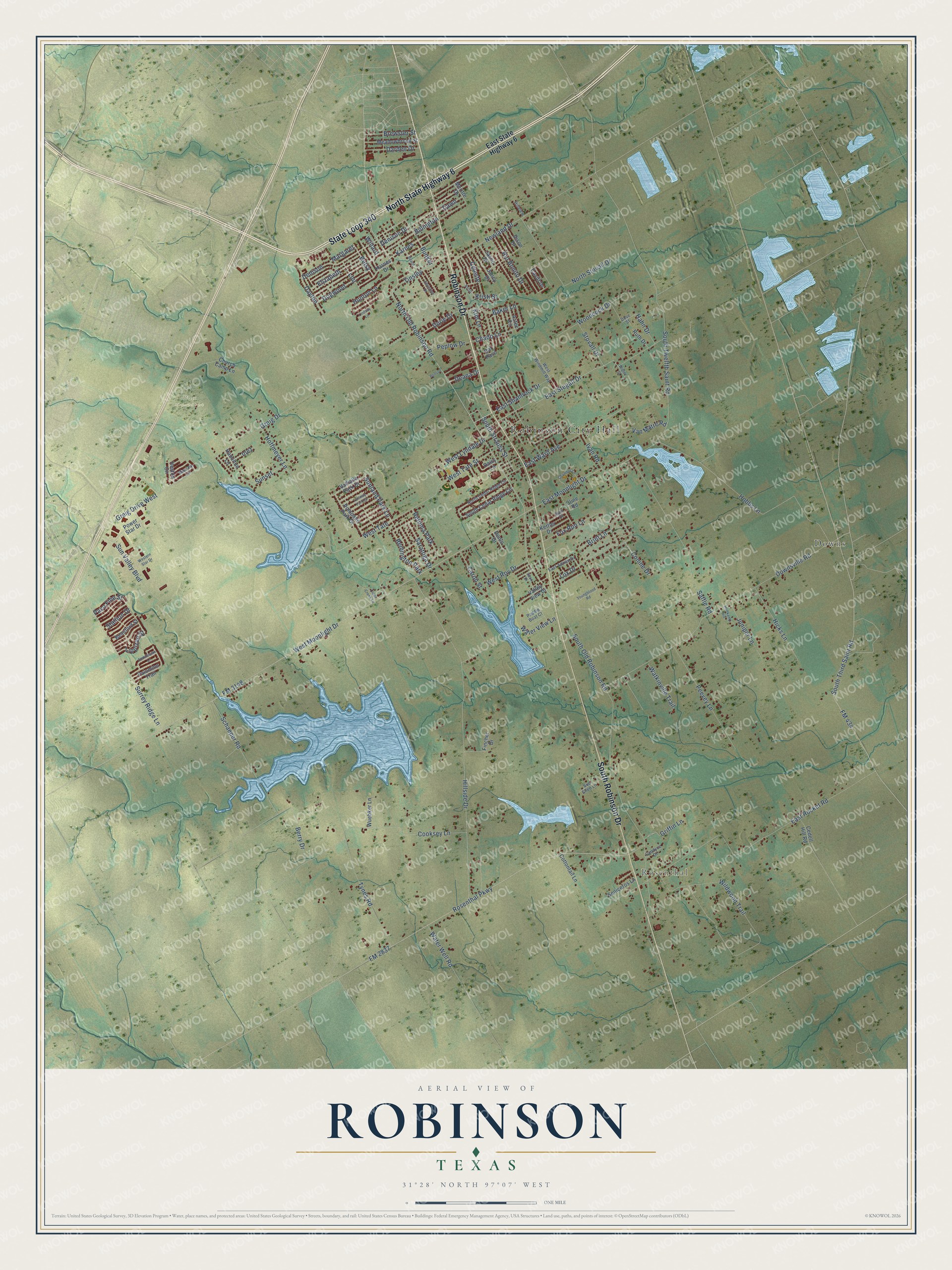
This beautifully detailed map of Robinson, Texas was created in 2026 using aerial imagery combined with modern topographical, census, street and landmark data. It’s a one-of-a-kind view of Robinson that combines accurate data with a vintage aesthetic. The map shows every building in its true location, many of the roads carry their names, and the shaded topographic relief shows the shape of the land.
Explore an aerial view of Robinson, Texas
On the map you’ll find Robinson City Hall, Rosenthal, Waco Memorial Park, Downs, and West Tate, along with State Loop 340, Robinson Drive, North State Highway 6, South Robinson Drive, South Old Robinson Road, North Old Robinson Road, Sunland Park Lane, and more. If you look closely you can even find your house accurately drawn in its correct location. Zoom in on the preview to look for yours.
Did you know this piece of Robinson, Texas history?
From the Handbook of Texas: "Robinson, on State Highway 77 six miles south of Waco in central McLennan County, came into existence after brothers John and Levi Robinson established homesteads in the area in the early 1850s."
Take a closer look at the Robinson map
Street and place names on the Robinson, Texas map
These names are printed on the map of Robinson, Texas.
Places: Robinson City Hall, Rosenthal, Waco Memorial Park, Downs, Retoma Park and Remington Park.
Streets and roads: State Loop 340, Robinson Drive, North State Highway 6, South Robinson Drive, South Old Robinson Road, North Old Robinson Road, Sunland Park Lane, West Tate, Hoffmeyer Lane, Betsy, Lou, East Stegall Drive.
More street names, A to Z
Andalusian Lane, Aztec Circle, Baker Lane, Beard, Beauford Street, Benson, Berry Drive, Billington, Brewster Street, Brint Lane, Bunker, Candyce Drive, Caron Street, Cavitt Drive, Cedell Hill Road, Celeste, Chado Lane, Chamber Lane, Christina Drive, Church Camp Lane, Clear Creek Lane, Cline Road, Conine Drive, Cooksey Lane, Cottontail Lane, Daisy Lane, Dal Paso, Darden Drive, Dawn, Dayton, Deana Drive, Dean Drive, Denison, Denison Drive, Dison Drive, Dogwood, Donlo Drive, Dove Street, Downsville Road, Durie Drive, East Adrian Drive, East Moonlight Drive, East Rocket Road, East Shamrock Drive, East State Highway 6, East Ward Avenue, Elizabeth, Fincher Drive, FM 434, FM 2837, FM 3148, Fox Run Lane, Greig Drive, Greig Drive West, Griffin Lane, Hahn Drive, Hamilton Lane, Heston Circle, Hicks Lane, Hillside Drive, Hillview, Hobbs Lane, Holtkamp Hill, Hunton Lane, Inez, Ivan Road, Jancy Drive, Jason Drive, Juniper Lane, Karnes, Karnes Drive, Kettler Drive, Kim Lane, Kristi, Kristi Street, Lindsay Lane, Lippizan Street, Lux Drive, Margaret, Massey Lane, Meadowbrook Street, Meritte Drive, Newland Drive, North Cedar Ridge Circle, North Stovall Drive, Paddle Boat Court, Palomino Trail, Paso Fine Street, Peevey Lane, Peplow Drive, Pompano Park Drive, Power Star Drive, Rio Bonito Drive, Rosenthal Parkway, Ruth Drive, Saffle Road, Sam Drive, Saratoga Drive, Schaeper Road, Seniceros Lane, South Cedar Ridge Circle, South Strauss Street, South Third Saint Road, South Twelfth Saint Road, Stallion Drive, Stovall Drive, Sue Ellen Lane, Sunset, Sun Valley Boulevard, Surrey Ridge Lane, Tinsley, Turfway Park Drive, Tynes Road, Valhalla Park Drive, Valley View Drive, Van Matre Road, Water View Lane, Water Well Road, Watkinville Trail, Western Star Drive, West Lyndale Drive, West Moonlight Drive, West Roy Drive, West Tate Street, West Windmill Way, Wigley Street, Wildwood Trail, Willard, Woodcock Drive, Wuebker Lane, Youngblood Road.
See the Robinson, Texas map on a wall
The Robinson map as an 18 x 24 inch print in a black frame.

This beautifully detailed map of Robinson makes an attractive addition to your office, library, or den, and it can even be used to teach children the geography and history of the area. It also makes a great gift for anyone who grew up in Robinson or moved away. When you’re done exploring, click here to get your copy of the Robinson map.