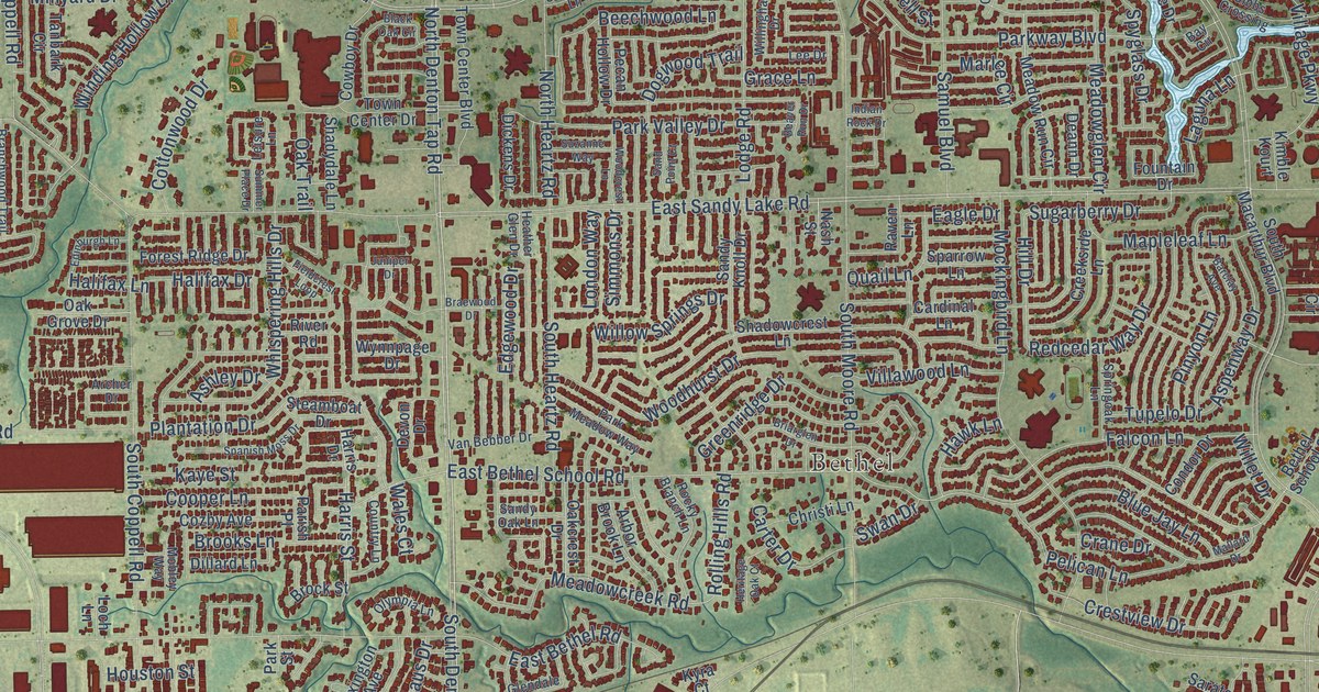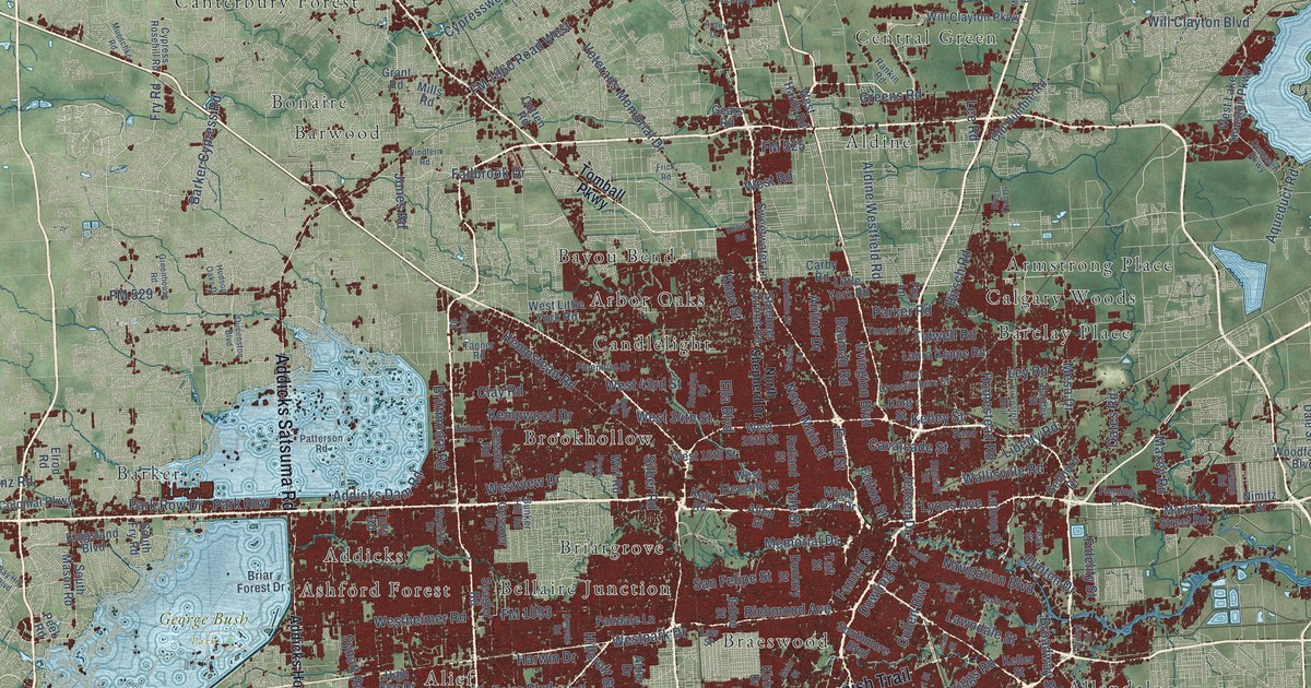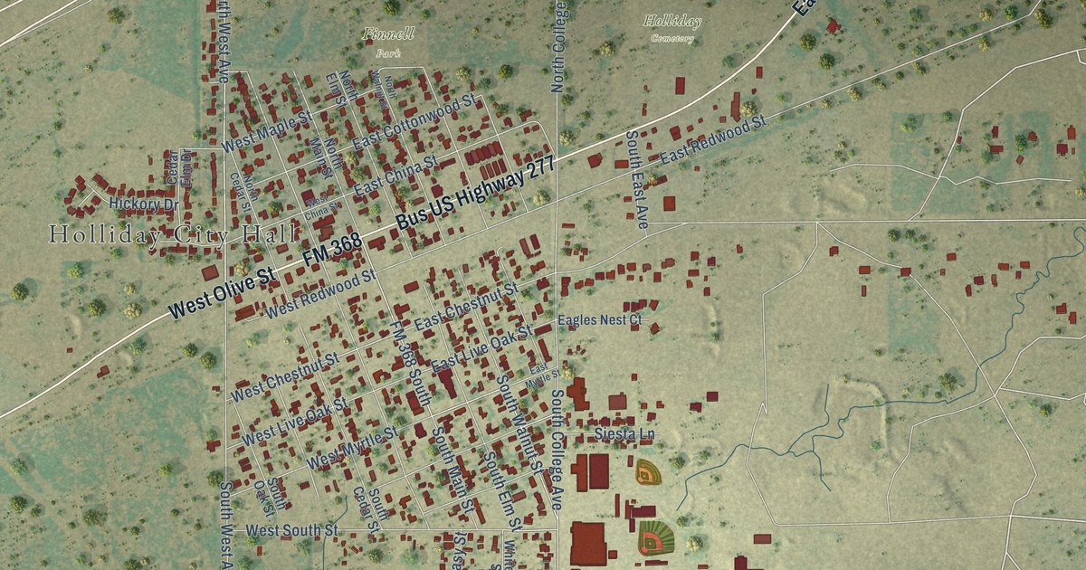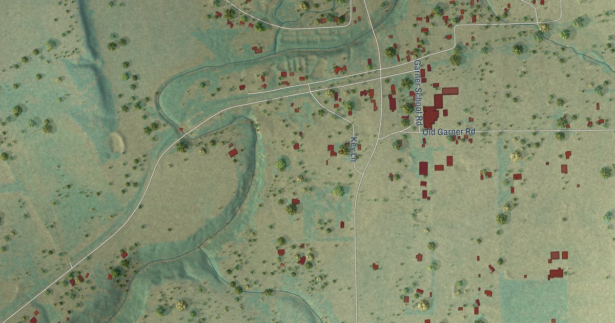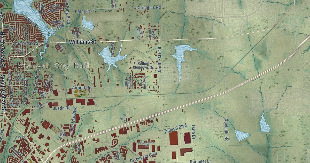
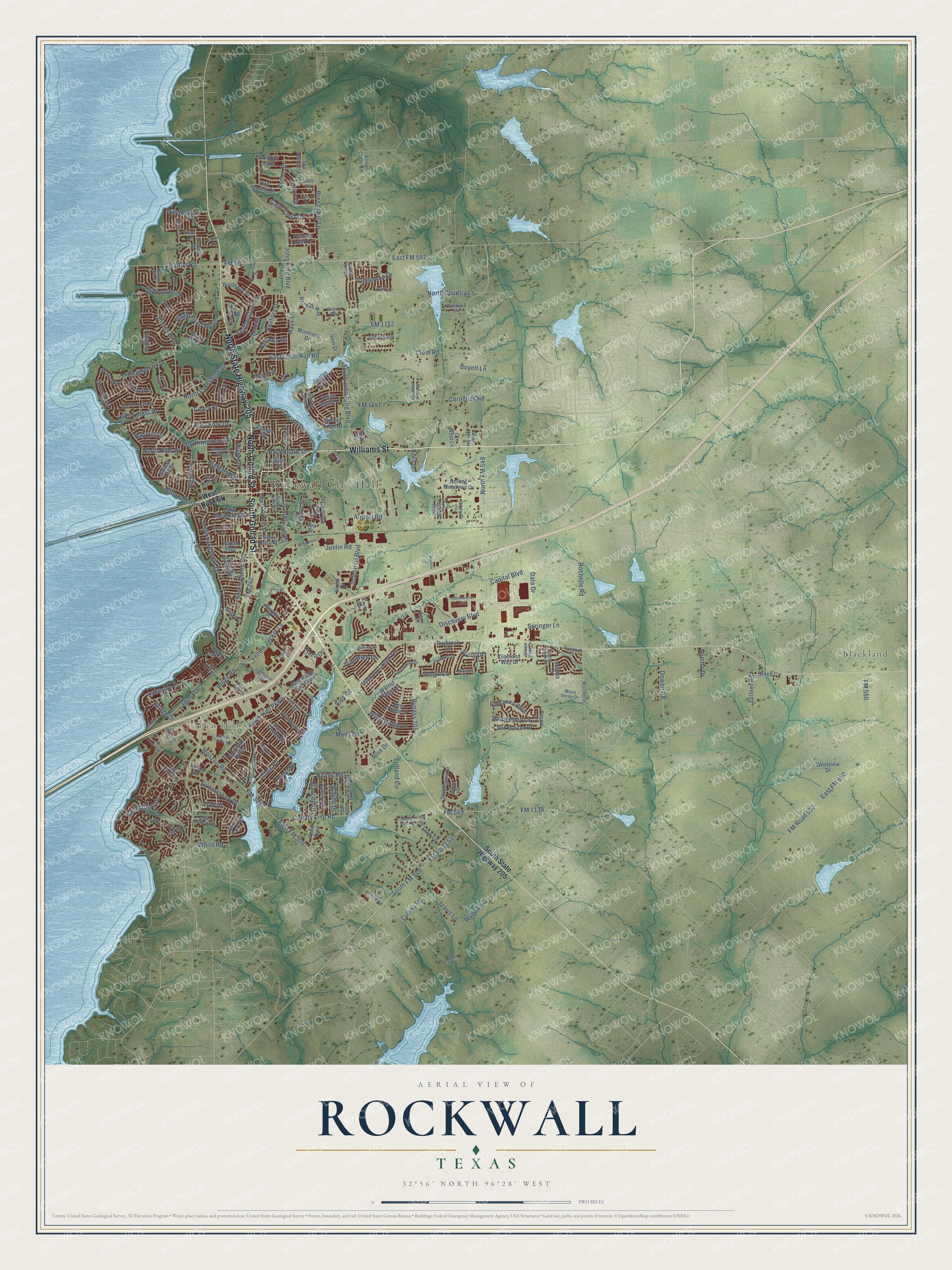
This beautifully detailed map of Rockwall, Texas was created in 2026 using aerial imagery combined with modern topographical, census, street and landmark data. It’s a one-of-a-kind view of Rockwall that combines accurate data with a vintage aesthetic. The map shows every building in its true location, many of the roads carry their names, and the shaded topographic relief shows the shape of the land.
Explore an aerial view of Rockwall, Texas
On the map you’ll find Rockwall City Hall, Glen Hill, and Blackland, along with North State Highway 205, South Goliad Street, Williams Street, North Goliad Street, FM 549, Shores Boulevard, FM Road 549, Lakeside Drive, Champions Drive, and more. If you look closely you can even find your house accurately drawn in its correct location. Zoom in on the preview to look for yours.
Did you know this piece of Rockwall, Texas history?
From the Handbook of Texas: "In the late 1840s members of the Boydstun family of Illinois settled on a 572-acre tract of land near the East Fork of the Trinity River; they were the first Anglo-Americans to arrive in the area, which at that time was part of Kaufman County."
Take a closer look at the Rockwall map
Street and place names on the Rockwall, Texas map
These names are printed on the map of Rockwall, Texas.
Places: Rockwall City Hall, Glen Hill, Blackland and Nova Park.
Streets and roads: North State Highway 205, South Goliad Street, Williams Street, North Goliad Street, FM 549, Shores Boulevard, FM Road 549, Lakeside Drive, Champions Drive, Renee Drive, East FM 552, Evans Road.
More street names, A to Z
Acacia Drive, Airport Road, Alpha Drive, Alta Vista Drive, Anna Cade Road, Arista Road, Ashbourne Drive, Avery Drive, Barymore Drive, Bay Hill Drive, Beacon Hill Drive, Bear Claw Lane, Becky Lane, Bella Drive, Benton Woods Drive, Betty Street, Blanche Drive, Blythe Street, Bordeaux Drive, Bow Street, Boyett Lane, Breezy Hill Lane, Brockway Drive, Broken Lance Lane, Bypass 205, Calm Crest Drive, Capital Boulevard, Carol Ann Lane, Caruth Drive, Chesterwood Drive, Chris Drive, Clem Road, Coastal Drive, Cornelius Road, County Line Road, Crestview Circle, Cullins Road, Dalton Road, Damascus Road, Darrin Drive, Data Drive, Davis Drive, Daybreak Drive, Deer Ridge Drive, Derby Drive, Diamond Way Drive, Discovery Boulevard, Dowell Road, East FM 550, East FM 3097, East Fork Drive, East Heath Street, East Quail Run Road, East Ralph Hall Parkway, East Ross Street, Fairlakes Pointe Drive, Featherstone Drive, Fieldcrest Drive, FM 550, FM 552, FM 740, FM 1139, FM 1141, FM 1152, FM 3097, FM Road 550, Fontanna Boulevard, Forest Trce, Foxhall Drive, Fox Hollow Drive, Garden Crest Drive, Geary Drive, Gem Drive, Gideon Way, Glencoe Drive, Glenwick Drive, Grass Valley Drive, Green Circle, Greencrest Boulevard, Greenway Drive, Gullwing Drive, Gumbo Drive, Hanby Lane, Harlan Drive, Hays Lane, Hickory Creek Lane, Highland Drive, Highview Lane, Hillcroft Drive, Holden Drive, Horizon Road, Hunters Creek Drive, Hunt Lane, Indian Trail, Industrial Boulevard, Jeff Boyd Road, John King Boulevard, Justin Road, Ketten Drive, Kristy Lane, Kyle Drive, Lago Vista Lane, Laguna Drive, Lake Forest Drive, Lake Front Trail, Lake Meadows Drive, Liberty Lane, Life Spring Drive, Lillian Street, Lofland Circle, Lone Rider Court, Lorion Drive, Magnolia Lane, Marilyn Jayne Drive, Marina Drive, Market Center Drive, Martins Street, Massey Lane, Melrose Lane, Memorial Drive, Mesa Verde Drive, Mims Road, Misty Ridge Lane, Montrose Drive, Murphy Drive, Nakoma Drive, Nash Street, Nautilus Drive, Nicole Drive, North Country Lane, North FM 549, North Hills Drive, North Lakeshore Drive, Oak Drive, Obseravation Trail, Ole West Lane, Park Place Boulevard, Pecos Lane, Phelps Lake Drive, Pinebluff Lane, Plaza Drive, Plummer Drive, Primrose Lane, Ralph Hall Parkway, Ranch Trail, Randas Way, Ranger Drive, Renfro Street, Ridge Road, Ridge Road West, Rise Drive, Rochelle, Rochelle Road, Rockwall Parkway, Rolling Meadows Drive, Sable Drive, Saddlebrook, San Marcos Drive, Sceptre Drive, Secret Cove Lane, Shady Lane Drive, Shepards Hill Drive, Shoreview Drive, Sids Road, Silver View Lane, Sky Harbor Drive, South Alamo Road, South Clark Street, South Fannin Street, South FM 549, South John King Boulevard, South Lakeshore Drive, South State Highway 205, South Tyler Street, Southwestern Drive, Spring Creek Drive, Springer Lane, Stableglen Drive, Steger Towne Road, Stoney Hollow, Summer Lee Drive, Summer Oaks, Sunflower Trail, Sunset Hill Drive, Sunset Ridge Drive, Sycamore Lane, Tannerson Drive, Teagle Drive, Timber Creek Drive, Trail Drive, Travis Lane, Trout Street, Tubbs Road, Turtle Cove Boulevard, Village Drive, Walnut Ridge Drive, Waters Edge Drive, Water Way, Wayne Drive, West Rusk Street, Westview Drive, White Hills Drive, White Road, White Water Lane, Whitmore Drive, Wildwood Lane, Willow Bend, Wimberley Lane, Windham Drive, Wind Hill Road, Wylie Lane, Yacht Club Drive, Yellow Jacket Lane, York Drive, Zion Hill Circle, Zollner Road.
See the Rockwall, Texas map on a wall
The Rockwall map as an 18 x 24 inch print in a black frame.

This beautifully detailed map of Rockwall makes an attractive addition to your office, library, or den, and it can even be used to teach children the geography and history of the area. It also makes a great gift for someone who left Rockwall and still calls it home. When you’re done exploring, click here to get your copy of the Rockwall map.