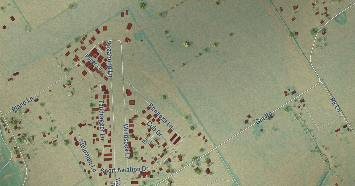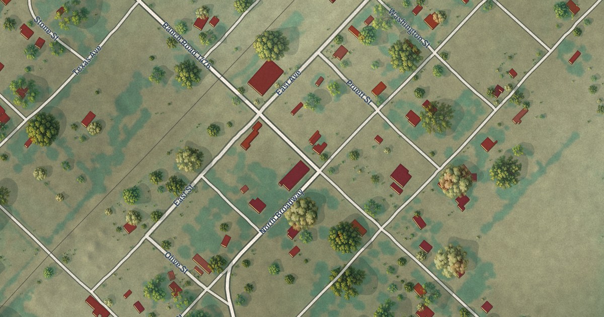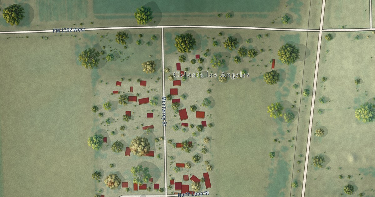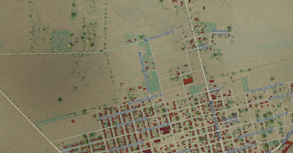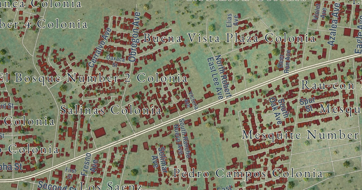
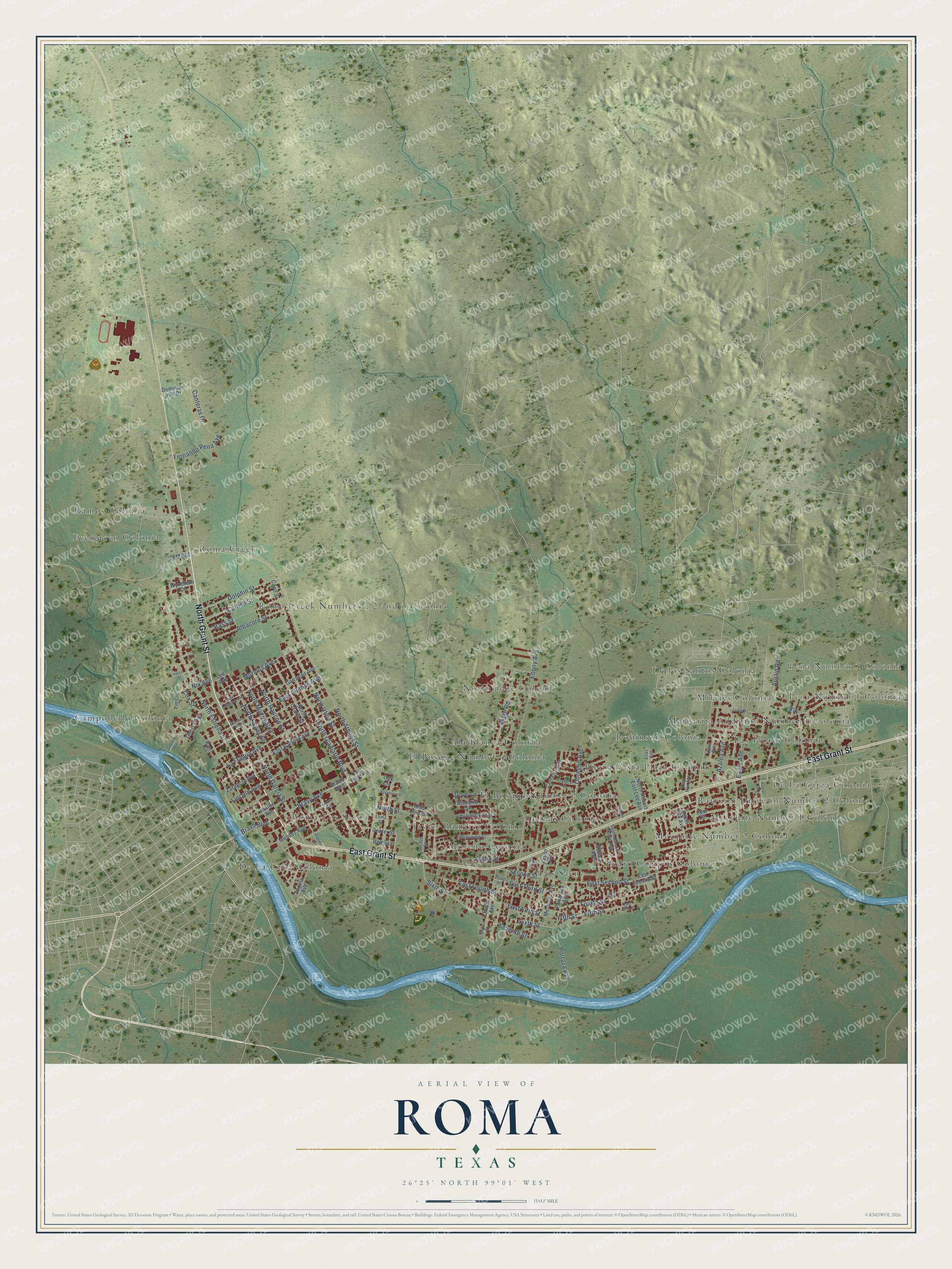
This beautifully detailed map of Roma, Texas was created in 2026 using aerial imagery combined with modern topographical, census, street and landmark data. It’s a one-of-a-kind view of Roma that combines accurate data with a vintage aesthetic. The map shows every building in its true location, many of the roads carry their names, and the shaded topographic relief shows the shape of the land.
Explore an aerial view of Roma, Texas
On the map you’ll find Pena Number 1 Colonia, Pena Number 2 Colonia, Ala Blanca Colonia, Buena Vista Plaza Colonia, Campobello Colonia, Cantu Colonia, De La Cruz Colonia, De La Garza Colonia, De los Santos Colonia, El Bosque Number 1 Colonia, El Bosque Number 2 Colonia, El Bosque Number 3 Colonia, and more. If you look closely you can even find your house accurately drawn in its correct location. Zoom in on the preview to look for yours.
Did you know this piece of Roma, Texas history?
From the Texas Historical Commission: "German architect Heinrich Portscheller (1840-1915) built this modified classic-revival structure for Manuel Guerra (1856-1915) in 1884."
Take a closer look at the Roma map
Street and place names on the Roma, Texas map
These names are printed on the map of Roma, Texas.
Places: Pena Number 1 Colonia, Pena Number 2 Colonia, De La Cruz Colonia, Ramos Colonia, Pedro Campos Colonia, Northridge Colonia, Moreno Colonia, Buena Vista Plaza Colonia, De La Garza Colonia, El Bosque Number 2 Colonia, Mireles Colonia, Mesquite Number 2 Colonia, De los Santos Colonia, Roma-Los Saenz, El Bosque Number 4 Colonia, Ala Blanca Colonia, Rau-con Drive-in Number 2 Colonia, Javier Ramirez Colonia, Robinson Colonia, Margarita Addition Number 1 Colonia, Roma Creek, Campobello Colonia, Las Flores Colonia, Los Saenz, Salinas Colonia, Mesquite Number 1 Colonia and Evergreen Colonia.
Streets and roads: North Grant Street, East Grant Street, North Athens Street, Lincoln Avenue, North Flores Street, Second Street, East Second Street, Bravo Avenue, Bravo Boulevard, La Fragua Avenue, Dove Lane, Ridge Road.
More street names, A to Z
Alaniz Drive, Albacore Street, Allende Avenue, Alpha Street, Angela Avenue, Austin Road, Azalea Avenue, Bass Street, Bethel Street, Bluebird Street, Braud Boulevard, Canteras Drive, Capo Street, Catfish Street, Center Street, Cerralvo Avenue, Cox Street, Deer Run Avenue, Dolphin Street, Dominion Hill Drive, Eagle Avenue, East Allende Avenue, East Bravo Avenue, East Fifth Street, East Fourth Street, East Garfield Avenue, East Jefferson Avenue, East Third Street, Ebony Avenue, Elias Avenue, Fernando Pena Avenue, Fifth Street, First Street, Flores Street, FM 650, Fourth Street, Franklin Avenue, Fresno Avenue, Gonzalez Avenue, Guerra Avenue, Guerras Avenue, Hackberry Street, Hummingbird Street, Ivy Street, Jardin Street, Juarez Avenue, Lee Avenue, Loma Street, Mendez Avenue, Mesquite Avenue, Morelos Avenue, Nix Avenue, North Estrella Street, North Garcia Street, North Gladiator Boulevard, North Madrigal Street, North Ozaka Street, North Raucon Street, North Robert East Lee Avenue, North Street, North Utica Street, Oak Circle, Oaxaca Street, Obregon Avenue, Olvera Avenue, Olvera Street, Peter Street, Portaleza Avenue, Portaza Avenue, Raul Avenue, Rios Cove Street, Serafin Street, Seventh Street, Sixth Street, Solimar Avenue, South Oak Avenue, South Rancho Nuevo Avenue, Spur Street, Third Street, Tin Circle, Victoria Avenue, Violet Avenue, Water Street, Whitewing Street, Wyndham Drive, Zaragoza Avenue.
See the Roma, Texas map on a wall
The Roma map as an 18 x 24 inch print in a black frame.

This beautifully detailed map of Roma makes an attractive addition to your office, library, or den, and it can even be used to teach children the geography and history of the area. It also makes a great gift for someone who left Roma and still calls it home. When you’re done exploring, click here to get your copy of the Roma map.