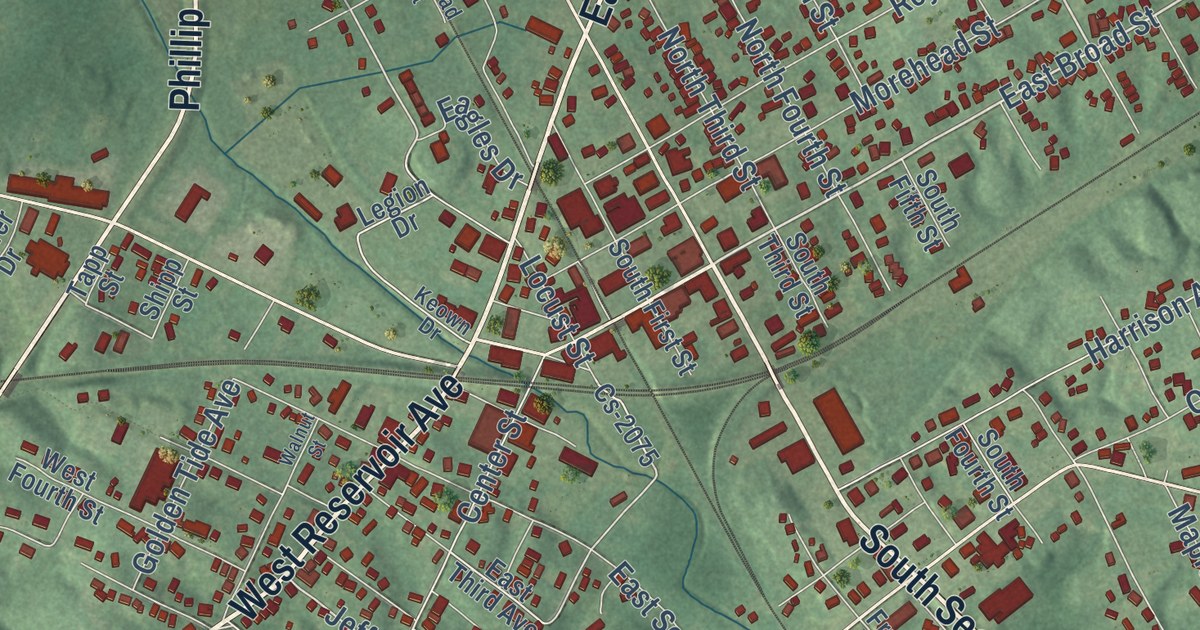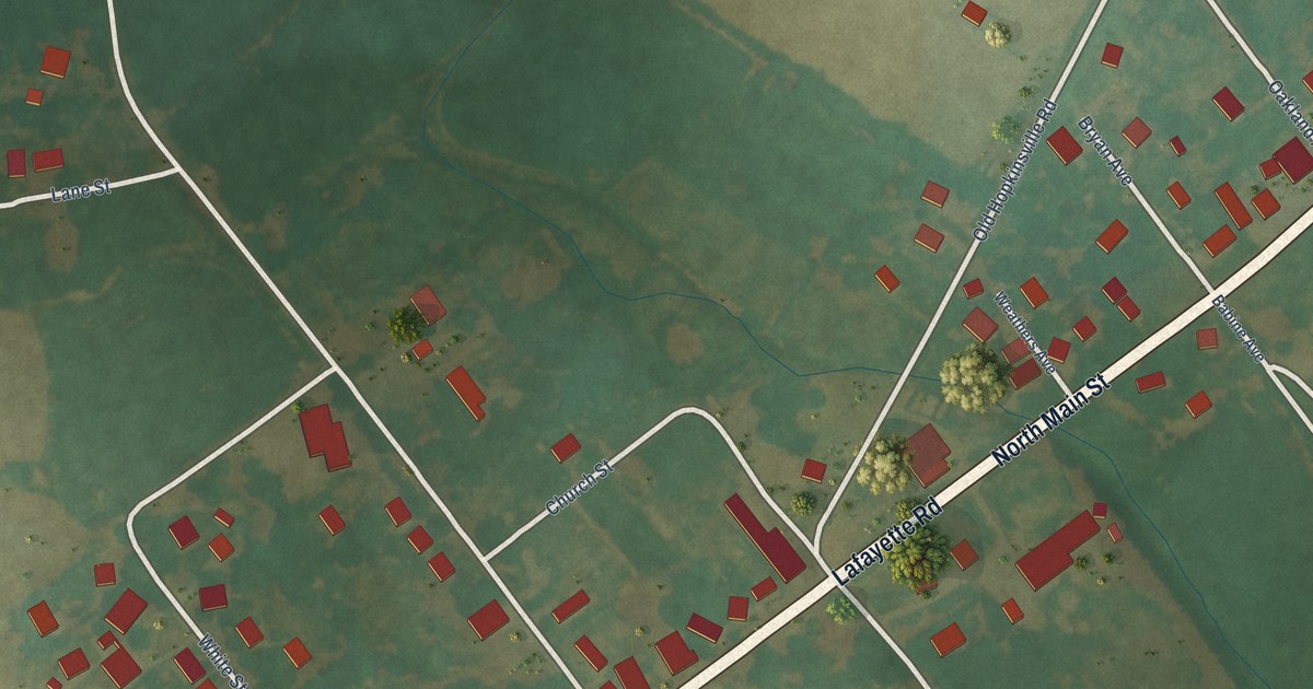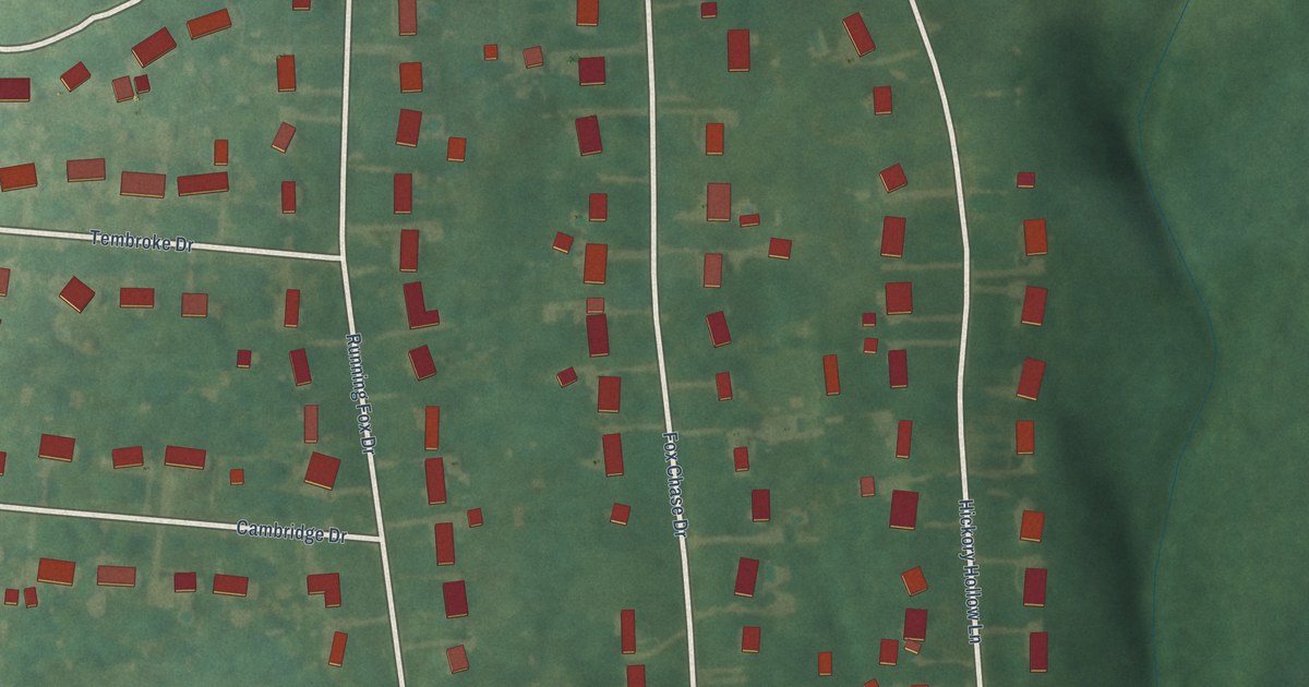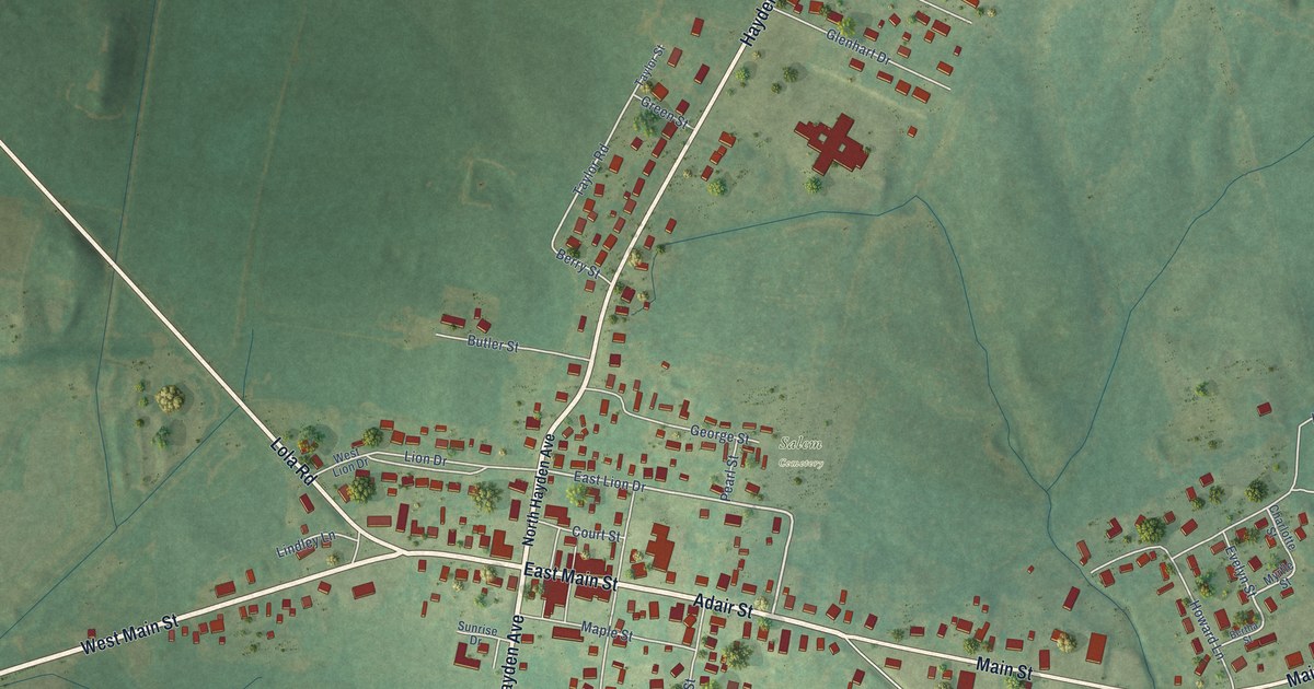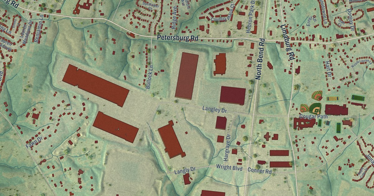
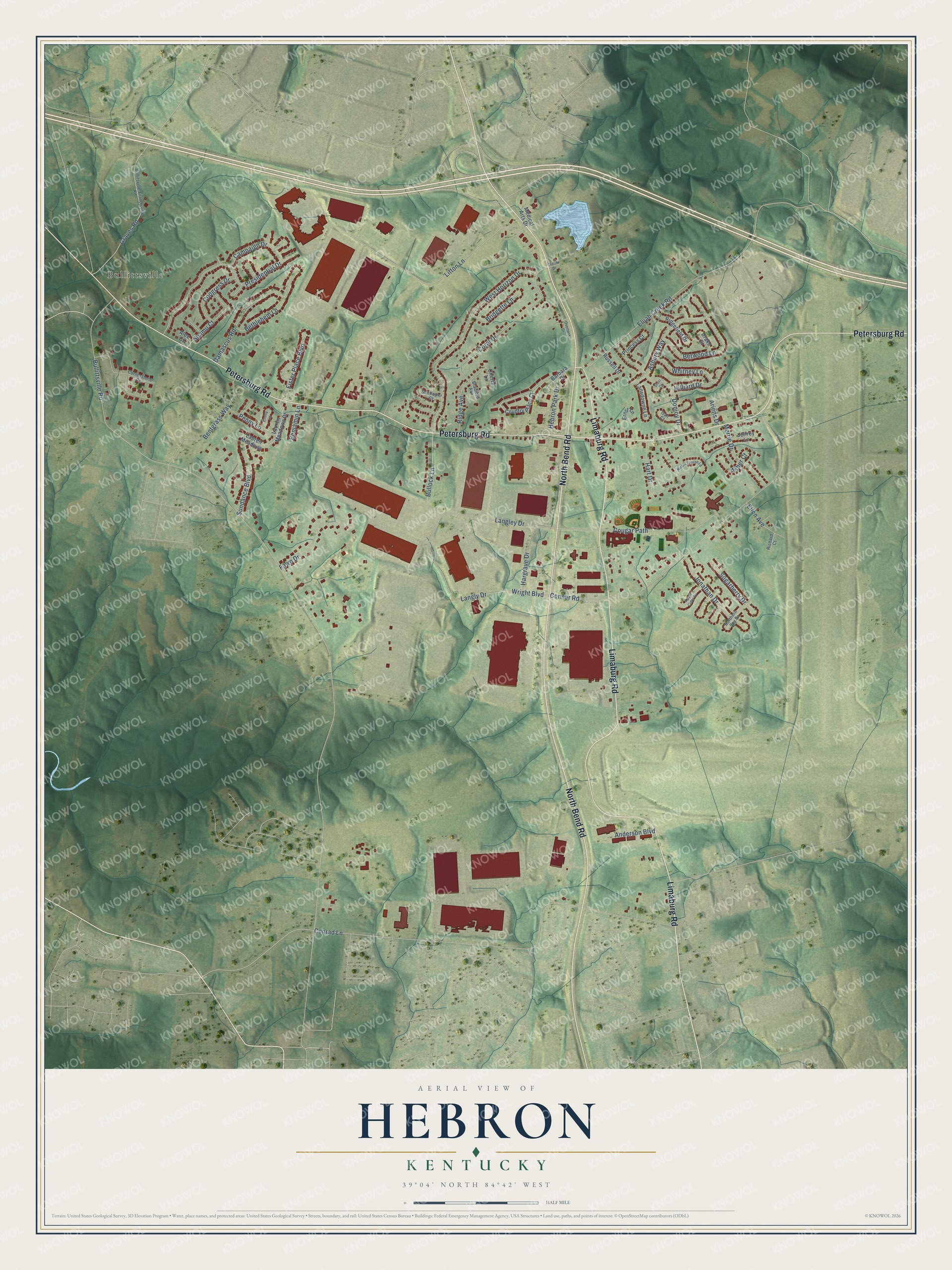
This beautifully detailed map of Hebron, Kentucky was created in 2026 using aerial imagery combined with modern topographical, census, street and landmark data. It’s a one-of-a-kind view of Hebron that combines accurate data with a vintage aesthetic. The map shows every building in its true location, many of the roads carry their names, and the shaded topographic relief shows the shape of the land.
Explore an aerial view of Hebron, Kentucky
On the map you’ll find Bullittsville, along with Petersburg Road, North Bend Road, Limaburg Road, Bullock Lane, Wright Boulevard, Bullittsville Road, Conrad Lane, Conner Road, Elijah Creek Road, West Horizon Drive, Litton Lane, and more. If you look closely you can even find your house accurately drawn in its correct location. Zoom in on the preview to look for yours.
Did you know this piece of Hebron, Kentucky history?
From the Kentucky Atlas and Gazetteer: "The Hebron name comes from the Hebron Lutheran Church, established in 1854."
Take a closer look at the Hebron map
Street and place names on the Hebron, Kentucky map
These names are printed on the map of Hebron, Kentucky.
Places: Bullittsville.
Streets and roads: Petersburg Road, North Bend Road, Limaburg Road, Bullock Lane, Wright Boulevard, Bullittsville Road, Conrad Lane, Conner Road, Elijah Creek Road, West Horizon Drive, Litton Lane, Presidential Drive.
More street names, A to Z
Alex Court, Anderson Boulevard, Apple Cider Drive, Ariens Drive, Asbury Way, Asher Court, Barbara Drive, Benjamin Lane, Bentgrass Way, Berwood Lane, Bethlehem Lane, Bradford Avenue, Bridgette Lane, Bullitsville-Francisville Road, Campaign Drive, Cherry Lane, Congress Drive, Coral Drive, Cornerstone Drive, Cougar Path, Country Place Court, Damascus Road, Donjoy Drive, Drake Court, Ellen Avenue, Emma Lane, Ernst Lane, Fawn Drive, Fister Place Boulevard, Graves Road, Hargrave Drive, Hart Drive, Hebron Park Drive, Hilliard Drive, Ivan Court, Jeffrey Lane, Jonathan Drive, Langley Drive, Langly Drive, Lansdowne Lane, Lauren Meadows, Lauren Meadows Drive, Medical Arts Drive, Merrie Drive, Nicole Lauren Lane, Northern Spy Drive, Orchid Drive, Overlook Drive, Penny Lane, Princess Court, Richard Court, Ridge Avenue, Ridgefield Drive, Russell Drive, Shamu Court, Sheri Court, Sugarberry Drive, Sundance Boulevard, Sunflower Court, Whitney Lane.
See the Hebron, Kentucky map on a wall
The Hebron map as an 18 x 24 inch print in a black frame.

This beautifully detailed map of Hebron makes an attractive addition to your office, library, or den, and it can even be used to teach children the geography and history of the area. It also makes a great gift for anyone with Hebron roots. When you’re done exploring, click here to get your copy of the Hebron map.