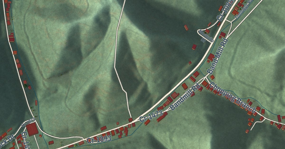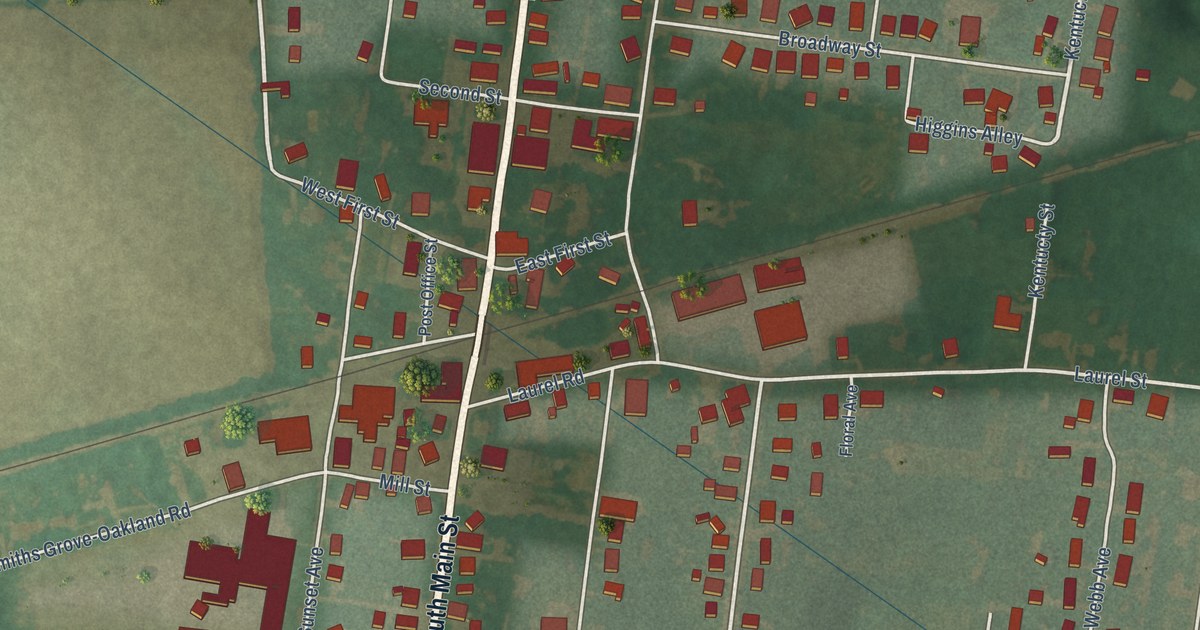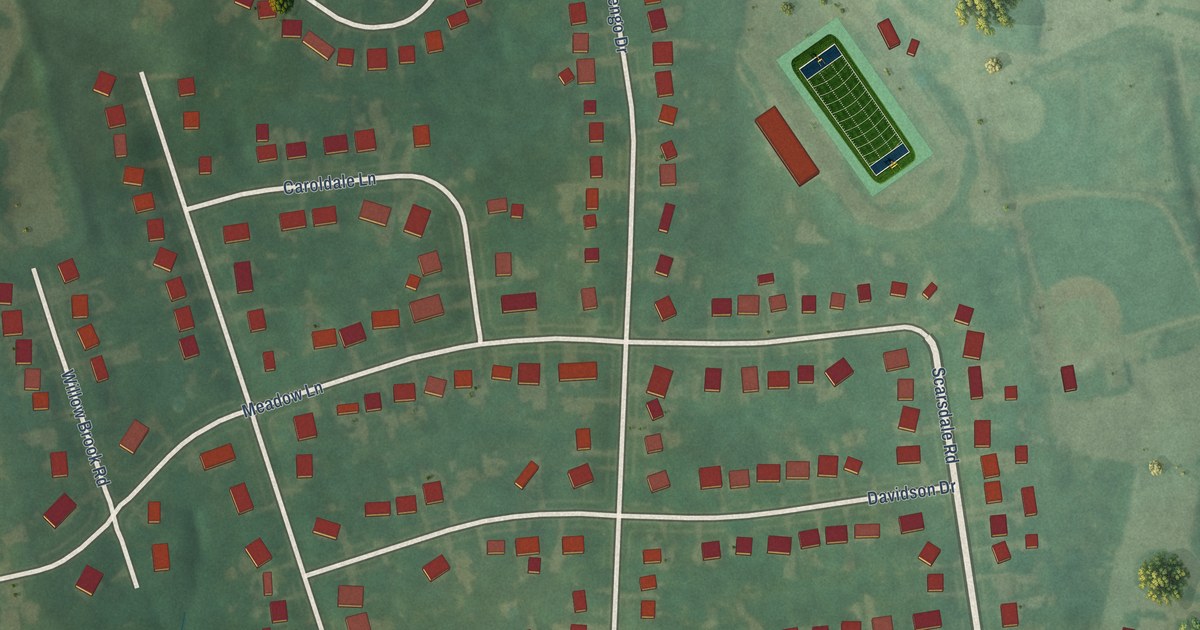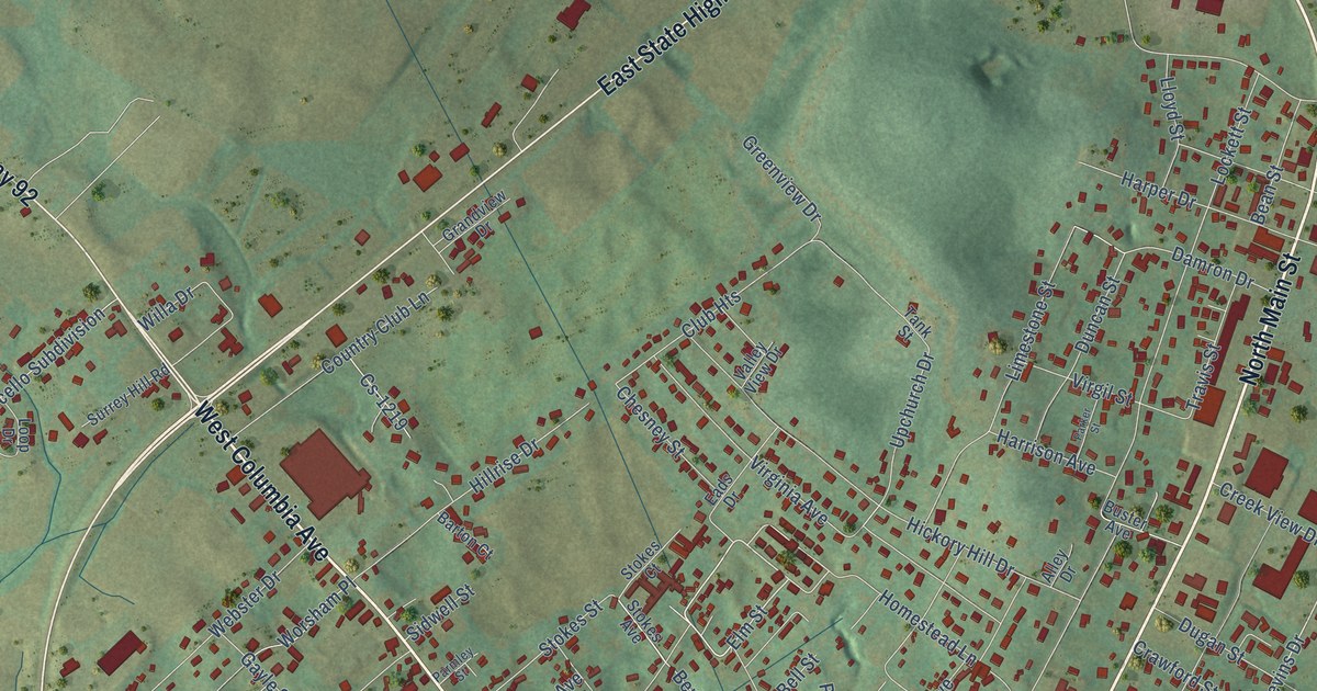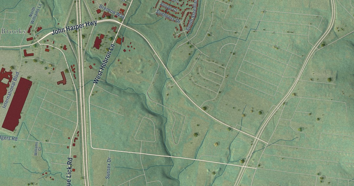
This beautifully detailed map of Hillview, Kentucky was created in 2026 using aerial imagery combined with modern topographical, census, street and landmark data. It’s a one-of-a-kind view of Hillview that combines accurate data with a vintage aesthetic. The map shows every building in its true location, many of the roads carry their names, and the shaded topographic relief shows the shape of the land.
Explore an aerial view of Hillview, Kentucky
On the map you’ll find Hillview City Office and Brooks, along with East Blue Lick Road, John Harper Highway, West Hebron Lane, Coral Ridge Road, North Preston Highway, Old National Turnpike, Brooks Hill Road, Bells Mill Road, Zoneton Road, Hillview Woods Parkway, and more. If you look closely you can even find your house accurately drawn in its correct location. Zoom in on the preview to look for yours.
Did you know this piece of Hillview, Kentucky history?
From the Kentucky Atlas and Gazetteer: "The name Hillview was chosen to avoid using any of the existing names and because of the terrain."
Take a closer look at the Hillview map
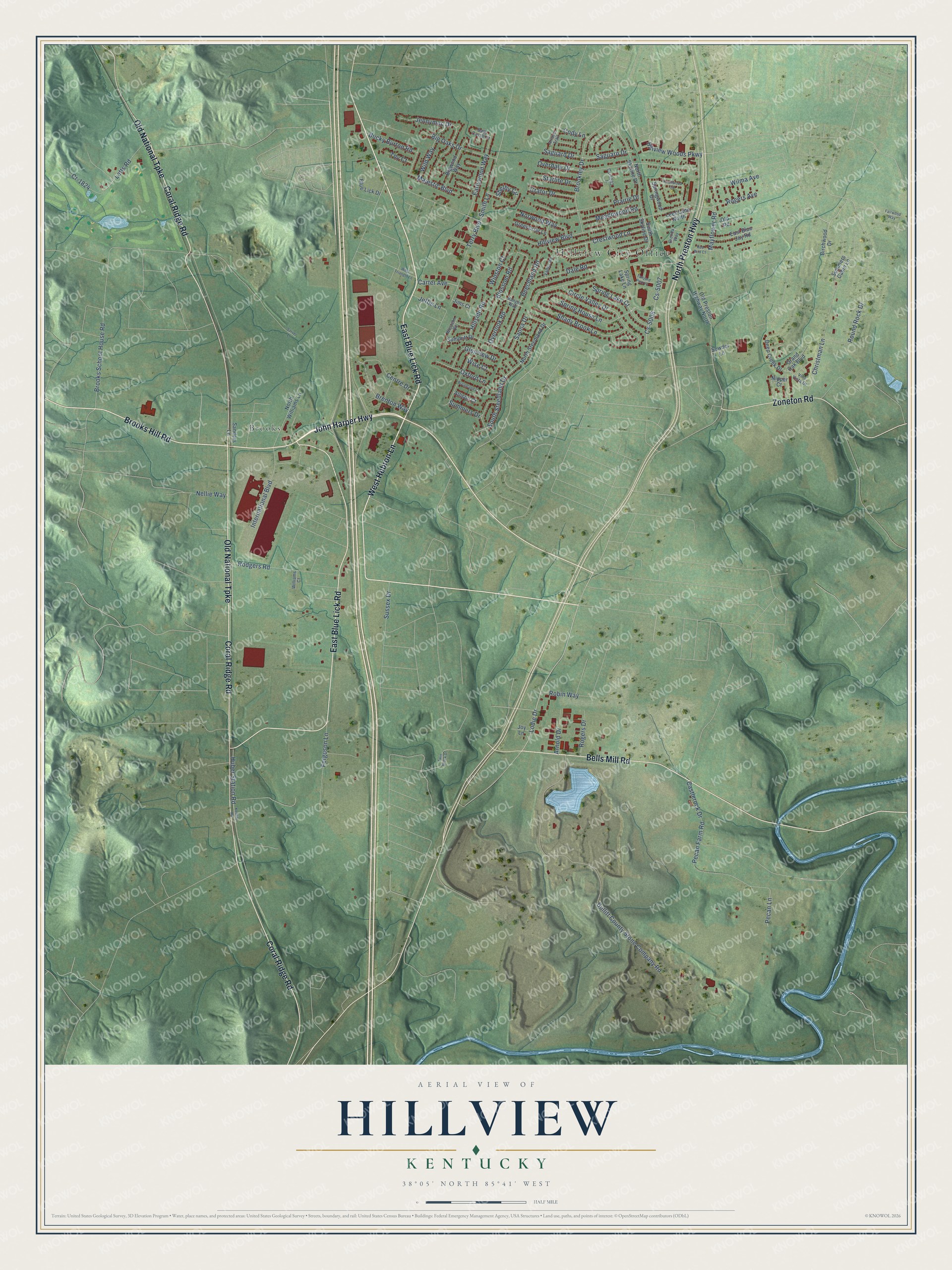
Street and place names on the Hillview, Kentucky map
These names are printed on the map of Hillview, Kentucky.
Places: Hillview City Office and Brooks.
Streets and roads: East Blue Lick Road, John Harper Highway, West Hebron Lane, Coral Ridge Road, North Preston Highway, Old National Turnpike, Brooks Hill Road, Bells Mill Road, Zoneton Road, Hillview Woods Parkway, Wilma Avenue, Pecan Lane.
More street names, A to Z
Allison Court, Arnold Drive, Arroyo Trail, Bally Castle Court, Banger Way, Beechland Road, Big Oaks Drive, Bigwood Way, Birchwood Drive, Blossom Road, Blue Lick Drive, Brenda Way, Brenton Way, Broadland Court, Brookley Drive, Brooks School House Road, Bucky Burton Road, Bullitt County Stone Company Road, Carter Avenue, Castlerock Drive, Centre Drive, Christman Lane, Circle Valley Drive, Cody Lane, Cr-1824, Crator Drive, Crestwood Lane, Cs-5006, Cs-5007, Cs-5032, Dale Road, Deep Creek Drive, Earlywood Way, East Blue Jay Road, Fairwood Way, Ferguson Lane, Glenview Drive, Grand Oak Boulevard, Greenbriar Lane, Hillside Road, Hillview Boulevard, Huber Station Road, International Boulevard, Jeffie Lane, Jennymac Drive, Jims Court, Joy Lane, Kenlite Road, Knollwood Circle, Lees Lane North, Letts Road, Lodie Drive, Majestic Boulevard, Mayflower Road, Meadowood Road, Nellie Way, Nipper Court, North Skyline Drive, North Steedland Drive, North Williams Lane, Norwood Way, Old Preston Highway North, Old Road, Overdale Drive, Overlook Road, Oxford Lane, Pecan Farm Road, Prairie Drive, Red Bird Court, Robin Way, Rodgers Road, Rogers Avenue, Rogers Drive, Round Rock Drive, Saguard Drive, Saguaro Drive, Sanders Lane, Sanna Drive, Sarver Lane, Shady Brook Lane, Shelby Circle, Smith Lane, South Skyline Drive, South Steedland Drive, Sowder Lane, Spring House Lane, Spring Lake Court, Spring Lake Lane, Springwood Drive, Starlite Drive, Summers Cabin Lane, Summers Drive, Summitt Drive, Sussex Drive, Tanyard Park Place, Terry Boulevard, Toy Court, Twin Brook Drive, Valley Road, Villa Vista Drive, Western Road, West Triangle Lane, Wild Way, Williams Court, Winston Court, Wise Court.
See the Hillview, Kentucky map on a wall
The Hillview map as an 18 x 24 inch print in a black frame.

This beautifully detailed map of Hillview makes an attractive addition to your office, library, or den, and it can even be used to teach children the geography and history of the area. It also makes a great gift for anyone with Hillview roots. When you’re done exploring, click here to get your copy of the Hillview map.