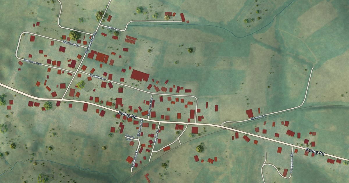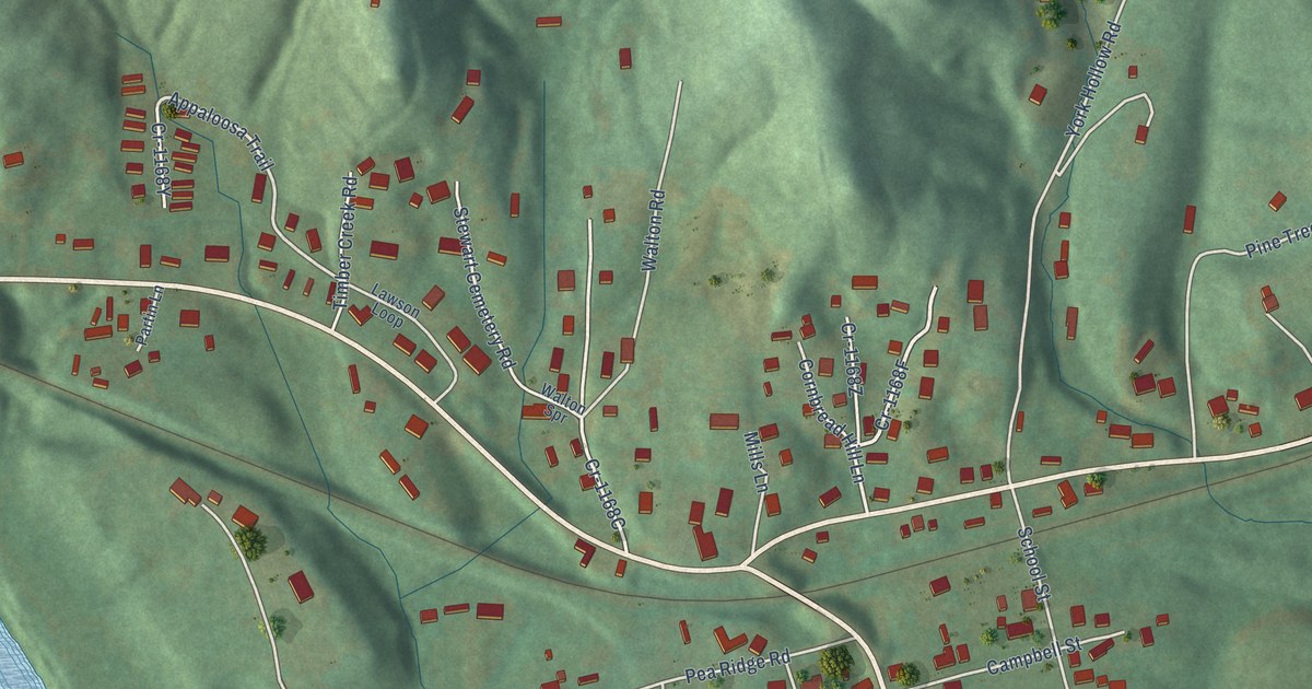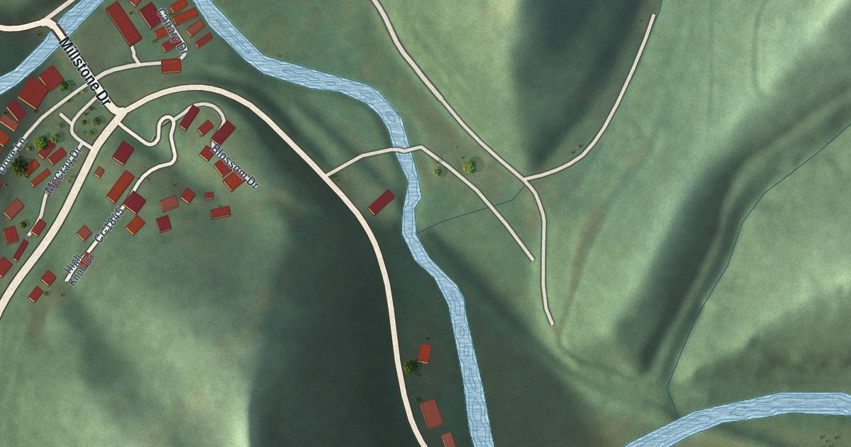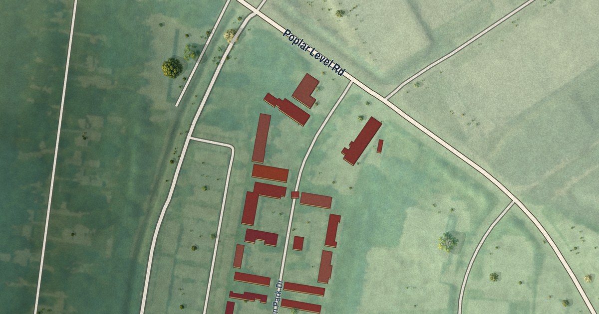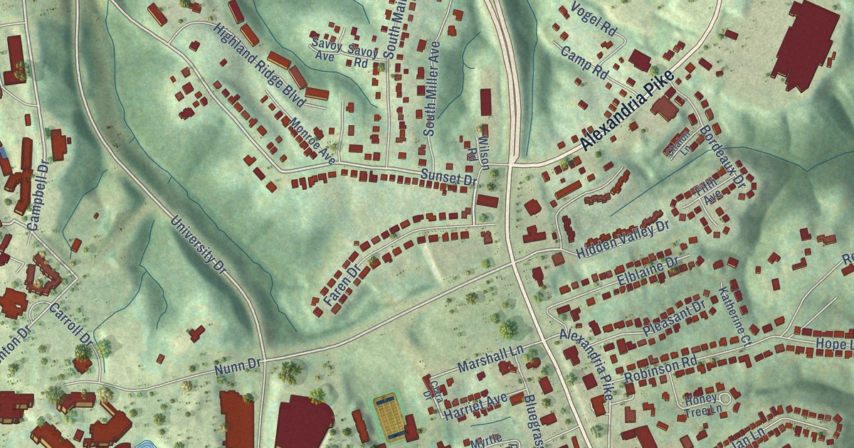
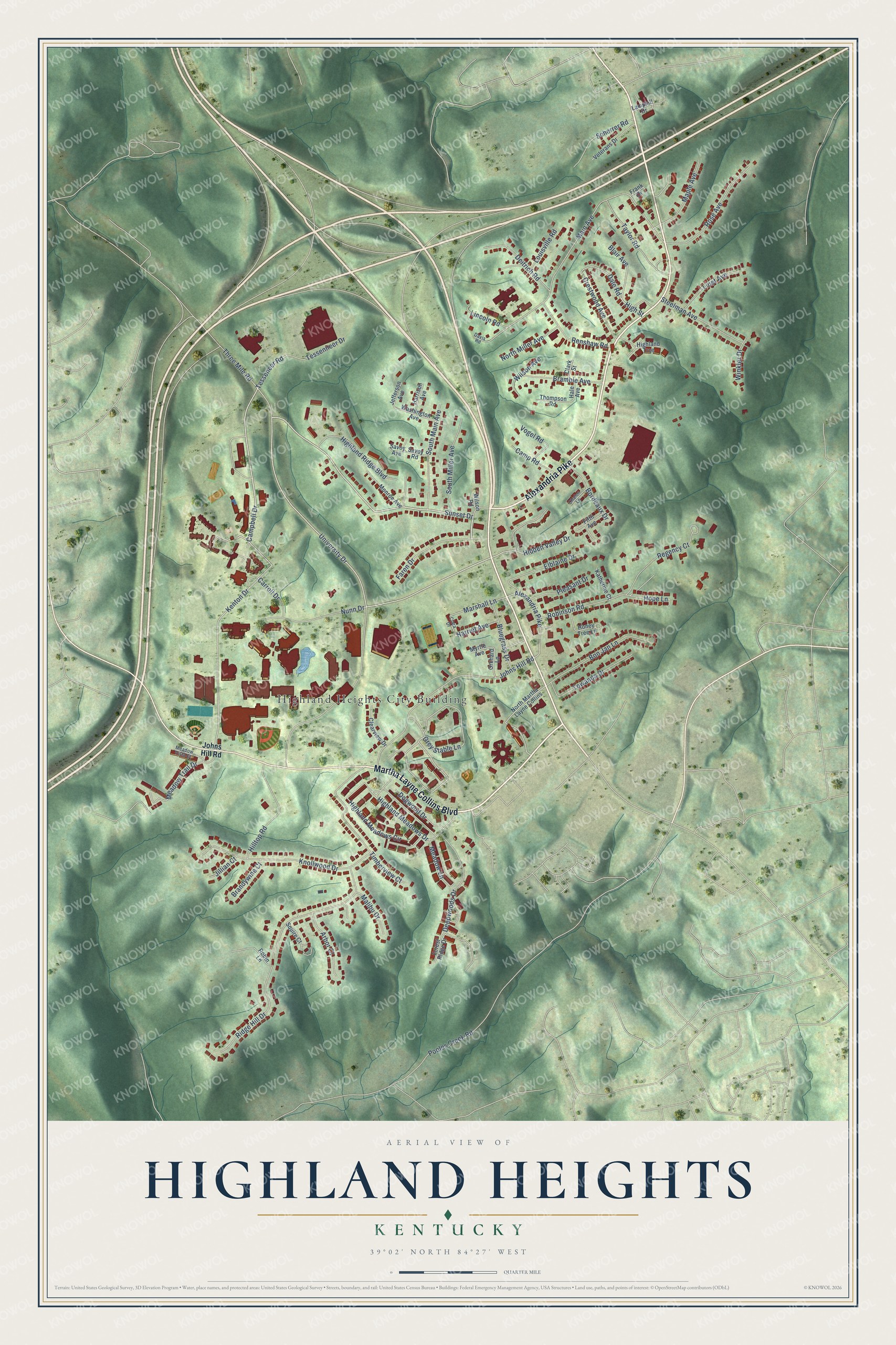
This beautifully detailed map of Highland Heights, Kentucky was created in 2026 using aerial imagery combined with modern topographical, census, street and landmark data. It’s a one-of-a-kind view of Highland Heights that combines accurate data with a vintage aesthetic. The map shows every building in its true location, many of the roads carry their names, and the shaded topographic relief shows the shape of the land.
Explore an aerial view of Highland Heights, Kentucky
On the map you’ll find Highland Heights City Building, along with Alexandria Pike, Martha Layne Collins Boulevard, University Drive, Sunset Drive, Faren Drive, Campbell Drive, Hidden Valley Drive, Tessenneer Drive, Tesseneer Road, Grey Stable Lane, Kenton Drive, and more. If you look closely you can even find your house accurately drawn in its correct location. Zoom in on the preview to look for yours.
Did you know this piece of Highland Heights, Kentucky history?
From the Kentucky Historical Society: "A part of cabin, moved here from Grants Lick area, stood adjacent to Gosney School, and typifies first schoolhouses of Campbell County. Forty-two were erected."
Take a closer look at the Highland Heights map
Street and place names on the Highland Heights, Kentucky map
These names are printed on the map of Highland Heights, Kentucky.
Places: Highland Heights City Building.
Streets and roads: Alexandria Pike, Martha Layne Collins Boulevard, University Drive, Sunset Drive, Faren Drive, Campbell Drive, Hidden Valley Drive, Tessenneer Drive, Tesseneer Road, Grey Stable Lane, Kenton Drive, Dale Road.
More street names, A to Z
Arbor Court, Blair Avenue, Bluegrass Drive, Bon Jan Lane, Bordeaux Drive, Bramble Avenue, Brandywine Court, Camp Road, Carroll Drive, Chalon Lane, Clara Drive, Clark Street, Clearview Drive, Crestwood Avenue, Davis Road, Deepwoods Drive, Deitrich Road, Dogwood Drive, Elblaine Drive, Fifth Avenue, Forest Ridge Drive, Frank Drive, Hale Avenue, Harriet Avenue, Harrison Avenue, Highland Meadows Circle, Highland Meadows Drive, Highland Ridge Boulevard, Highland Trce, High Street, Hilltop Road, Honey Tree Lane, Hope Lane, Jefferson Avenue, Jillian Court, Johns Hill Road, Katherine Court, Knollwood Drive, Lamphill Drive, Lincoln Road, Linet Avenue, Louisville Road, Main Avenue, Malibu Drive, Maple Avenue, Marshall Lane, Meadow Lane, Meadow Trail Drive, Meadow Vista Court, Monroe Avenue, Myrtle Avenue, North Martha Layne Collins, North Miller Avenue, Nunn Drive, Orchard Lane, Pleasant Drive, Pooles Creek Road, Regency Court, Renshaw Road, Ridge Hill Drive, Robin Lane, Robinson Road, Rose Avenue, Savoy Avenue, Savoy Road, Scherrer Road, South Main Avenue, South Miller Avenue, Squire Court, Steelman Avenue, Taylor Road, Thompson Road, Three Mile Road, Timberview Court, Towanda Drive, Veterans Drive, Vogel Road, Washington Avenue, Wilson Avenue, Wilson Road, Winkler Drive.
See the Highland Heights, Kentucky map on a wall
The Highland Heights map as an 18 x 24 inch print in a black frame.

This beautifully detailed map of Highland Heights makes an attractive addition to your office, library, or den, and it can even be used to teach children the geography and history of the area. It also makes a great gift for anyone who grew up in Highland Heights or moved away. When you’re done exploring, click here to get your copy of the Highland Heights map.