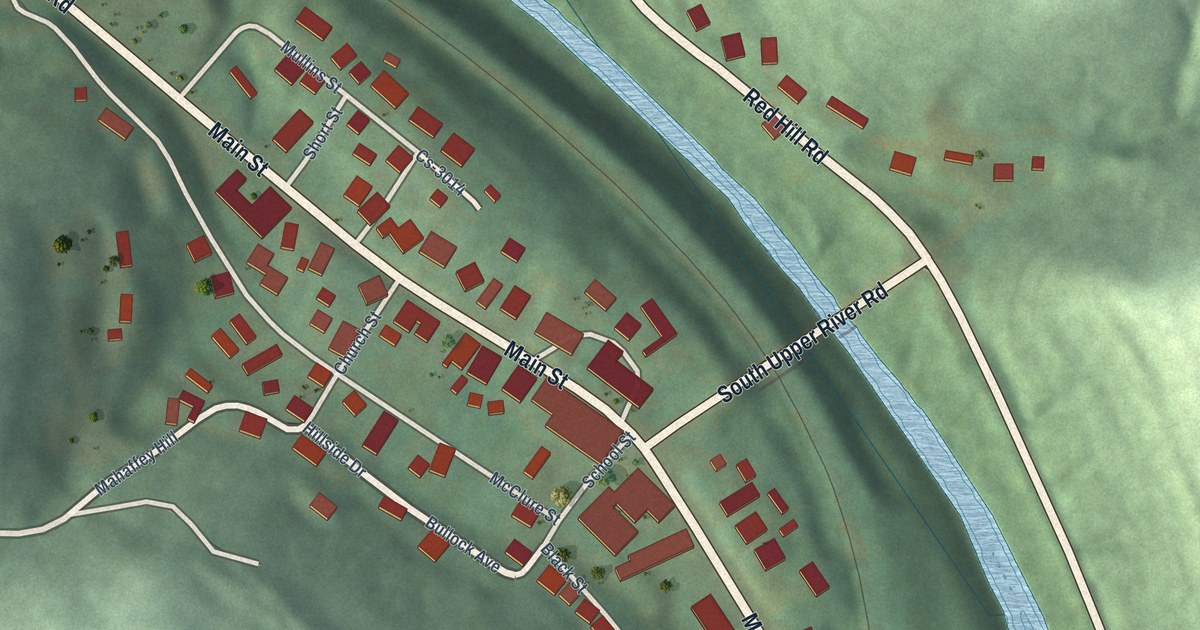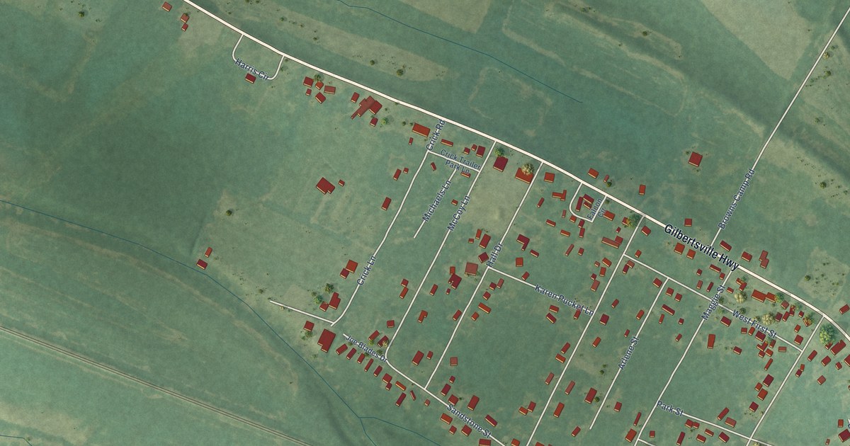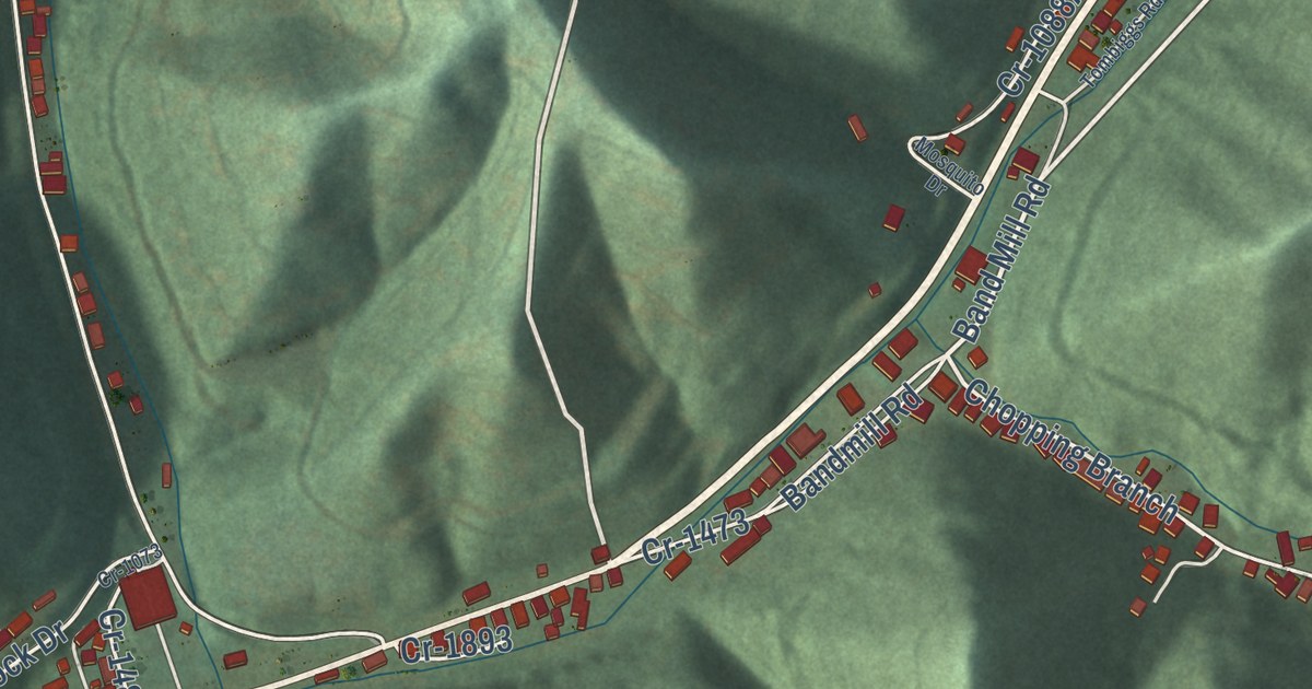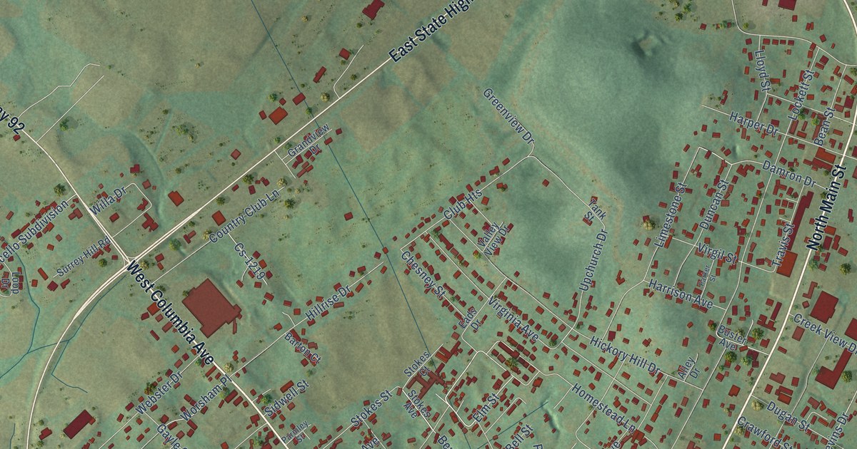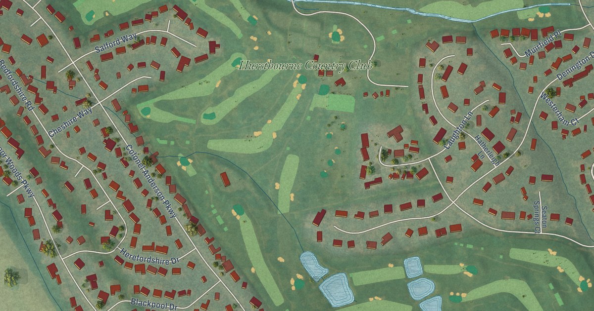
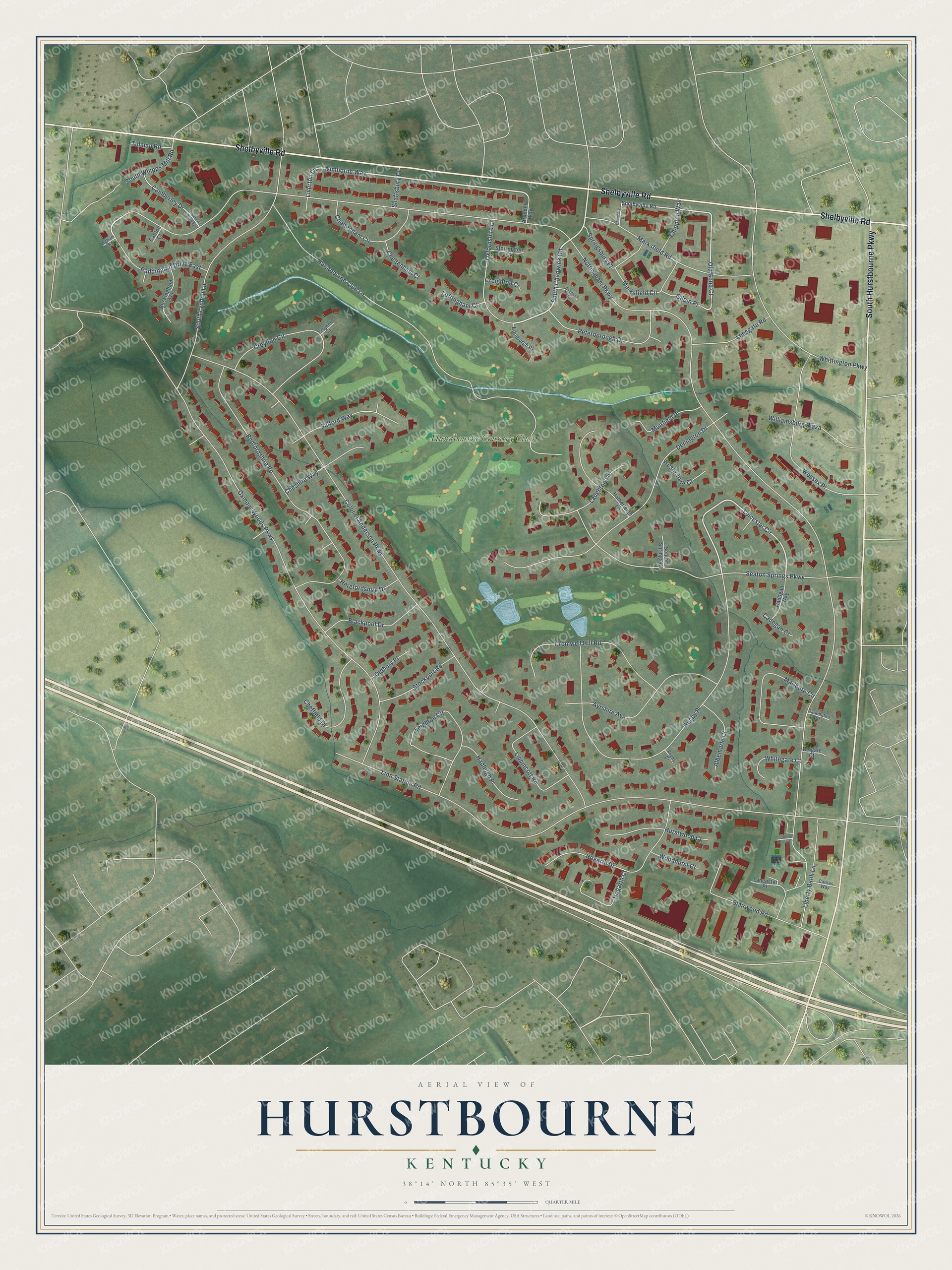
This beautifully detailed map of Hurstbourne, Kentucky was created in 2026 using aerial imagery combined with modern topographical, census, street and landmark data. It’s a one-of-a-kind view of Hurstbourne that combines accurate data with a vintage aesthetic. The map shows every building in its true location, many of the roads carry their names, and the shaded topographic relief shows the shape of the land.
Explore an aerial view of Hurstbourne, Kentucky
On the map you’ll find Hurstbourne Country Club, along with Shelbyville Road, South Hurstbourne Parkway, Wimborne Way, South Chadwick Road, Leicester Circle, Old Bond Court, Liverton Lane, Nottingham Parkway, Colonel Anderson Parkway, Linn Station Road, Oxmoor Woods Parkway, and more. If you look closely you can even find your house accurately drawn in its correct location. Zoom in on the preview to look for yours.
Did you know this piece of Hurstbourne, Kentucky history?
From the City of Hurstbourne: "In 1965, Highbaugh began to develop the estate into a community to be known as Hurstbourne. The community was planned to have a shopping center, offices, schools, churches, a country club complex containing a 27 hole golf course covering 240 acres, and stately Lyndon Hall as its club house."
Take a closer look at the Hurstbourne map
Street and place names on the Hurstbourne, Kentucky map
These names are printed on the map of Hurstbourne, Kentucky.
Places: Hurstbourne Country Club.
Streets and roads: Shelbyville Road, South Hurstbourne Parkway, Wimborne Way, South Chadwick Road, Leicester Circle, Old Bond Court, Liverton Lane, Nottingham Parkway, Colonel Anderson Parkway, Linn Station Road, Oxmoor Woods Parkway, Hurstbourne Club Lane.
More street names, A to Z
Albemarle Court, Arundel Way, Ayrshire Avenue, Bedfordshire Road, Blackpool Drive, Blairwood Road, Buckingham Terrace, Cadogan Court, Cadogan Way, Camberley Drive, Camberley Drive East, Canton Court, Caritas Way, Chadwick Court, Chancery Court, Cheffield Drive, Cheltenham Circle, Cheltenham Court, Cheshire Way, Chipping Way, Club House Drive, Creighton Court, Cromwell Hill Road, Croydon Circle, Croydon Court, Denington Drive, Edinburgh Place, Egham Road, Gilpin Place, Hadleigh Place, Hatherleigh Lane, Herefordshire Drive, Hogarth Court, Hogarth Drive, Hurstwood Court, Lancaster Place, Laughton Lane, Leesgate Road, Leighton Circle, Liberty Bank Lane, Lippincott Road, Loftingham Court, Marksfield Circle, Marksfield Road, Marlboro Circle, Muirfield Place, Oldbury Place, Oxfordshire Lane, Paddington Drive East, Parkington Court, Peterborough Drive, Reigate Court, Rugby Court, Rugby Place, Salford Way, Seaton Springs Court, Seaton Springs Parkway, Shaftsbury Drive, South Lyndon Lane, South Whipps Mill Road, Springsbury Place, Stockport Road, Storrington Court, Tillman Road, Wessex Place, Westerham Court, Whitegate Court, Whittington Parkway, Williamsburg Plaza, Woodhurst Court.
See the Hurstbourne, Kentucky map on a wall
The Hurstbourne map as an 18 x 24 inch print in a black frame.

This beautifully detailed map of Hurstbourne makes an attractive addition to your office, library, or den, and it can even be used to teach children the geography and history of the area. It also makes a great gift for someone who left Hurstbourne and still calls it home. When you’re done exploring, click here to get your copy of the Hurstbourne map.