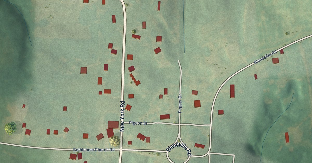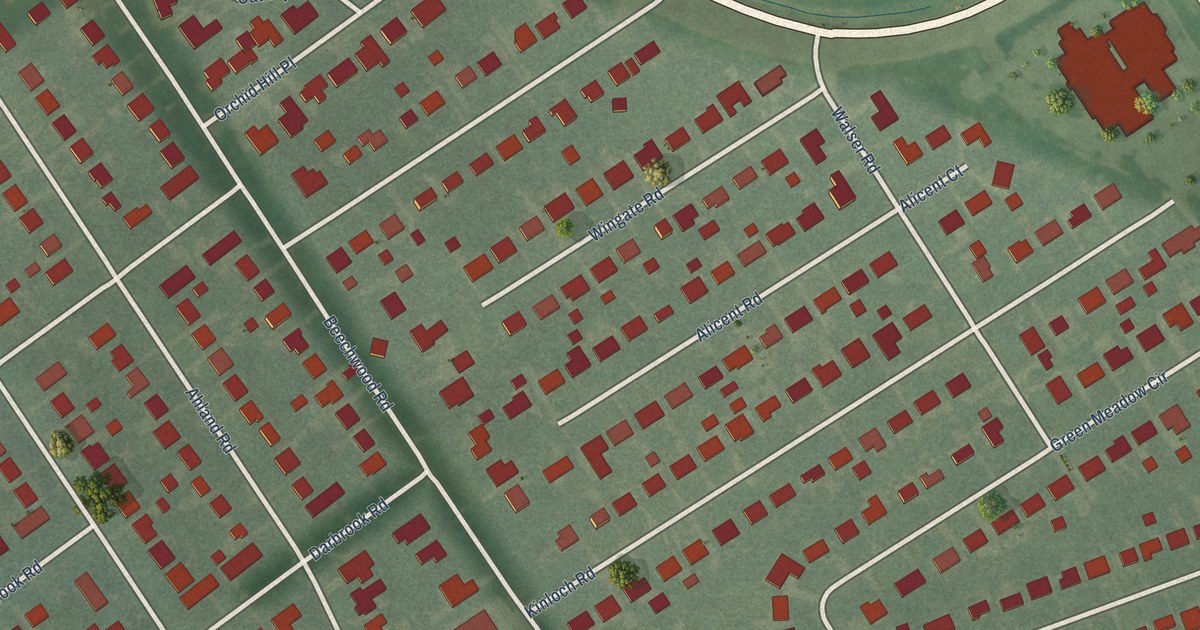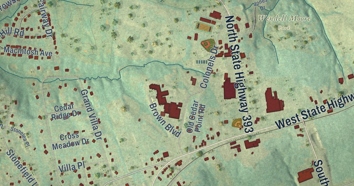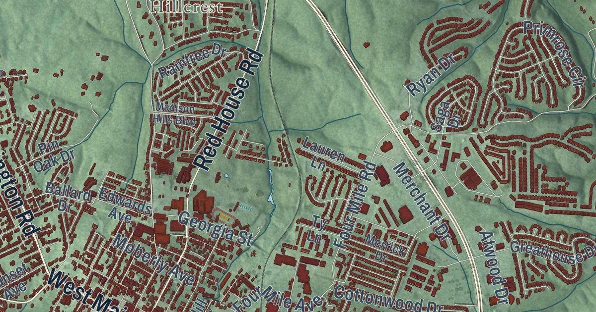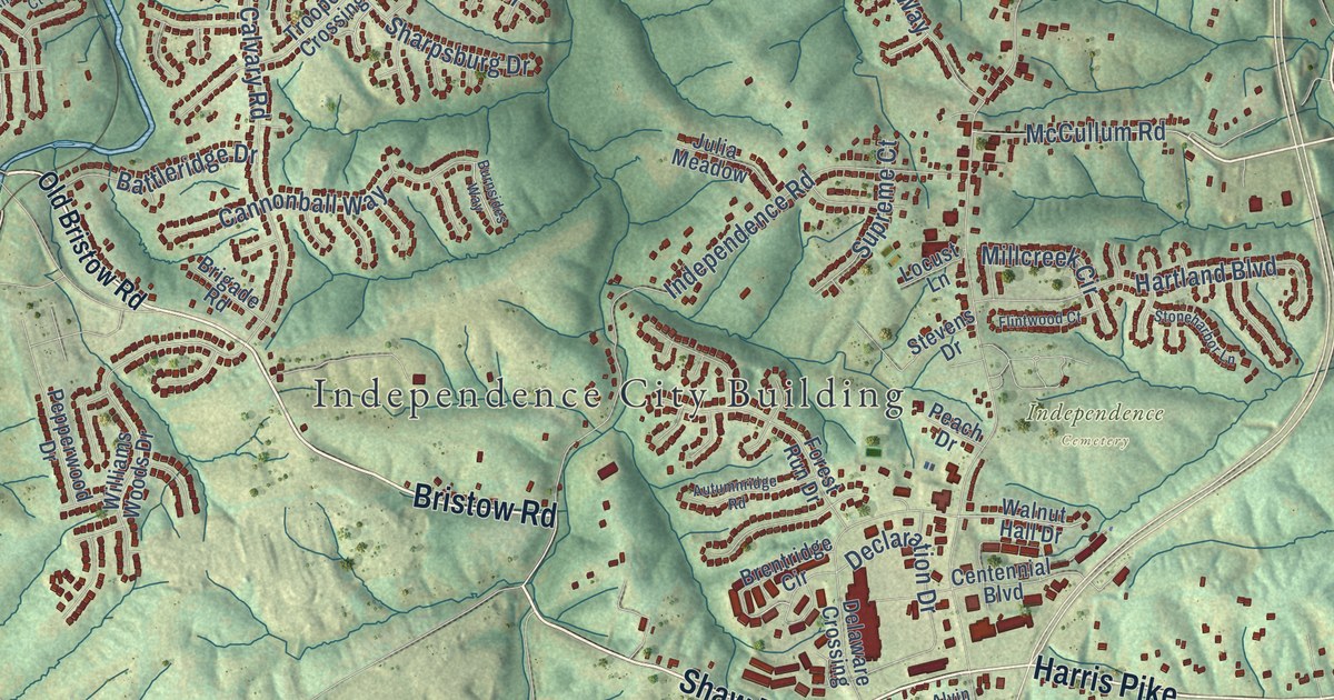
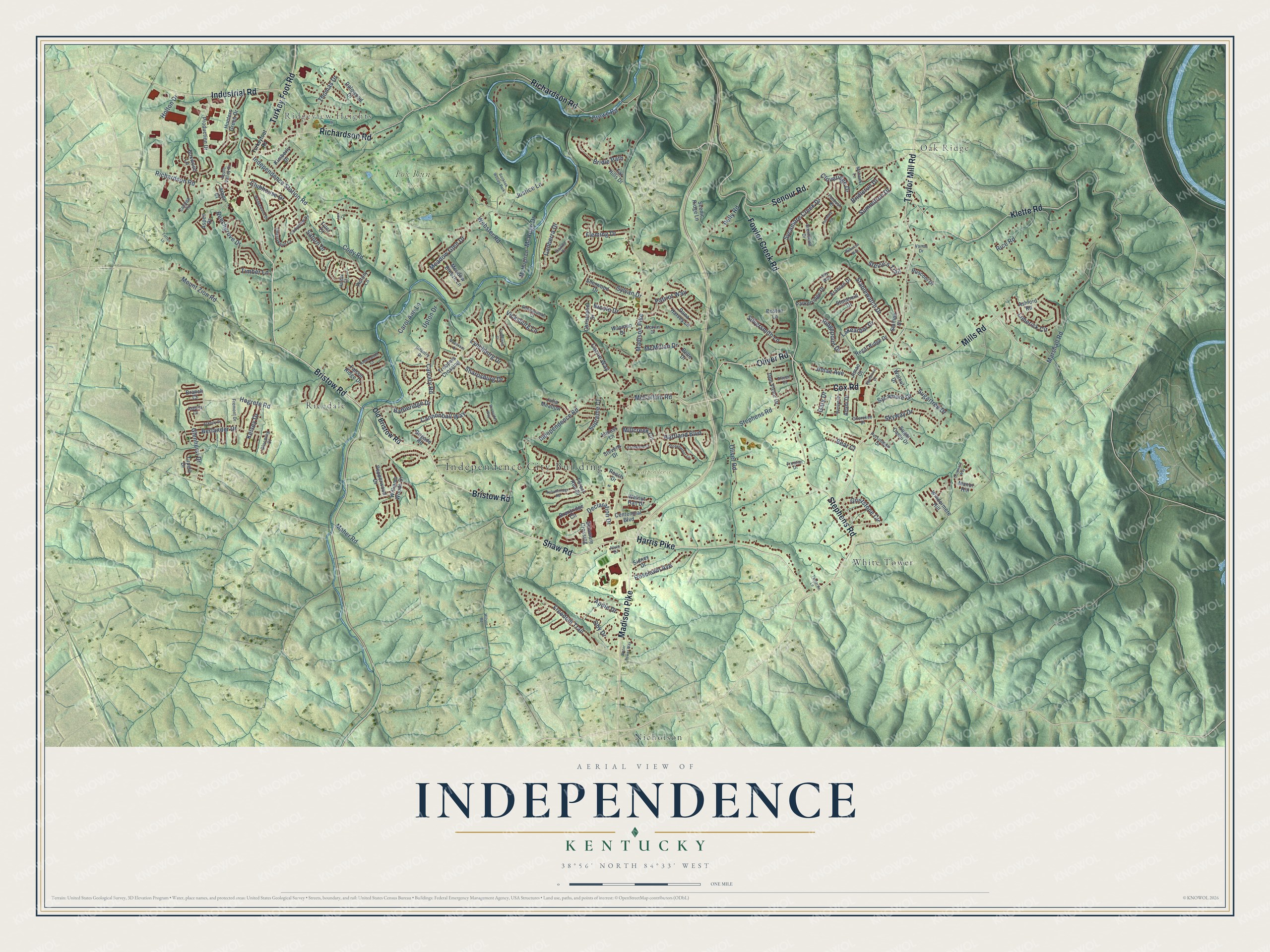
This beautifully detailed map of Independence, Kentucky was created in 2026 using aerial imagery combined with modern topographical, census, street and landmark data. It’s a one-of-a-kind view of Independence that combines accurate data with a vintage aesthetic. The map shows every building in its true location, many of the roads carry their names, and the shaded topographic relief shows the shape of the land.
Explore an aerial view of Independence, Kentucky
On the map you’ll find Independence City Building, Ridgeview Heights, Oak Ridge, Fox Run Park, Independence Cemetery, Nicholson, Ricedale, and White Tower, along with Bristow Road, Richardson Road, Shaw Road, Turkey Foot Road, and more. If you look closely you can even find your house accurately drawn in its correct location. Zoom in on the preview to look for yours.
Did you know this piece of Independence, Kentucky history?
From the National Park Service: "As the county seat, Independence continued to play an active part in the political life of the county. Notable local politicians who began their careers there included John G. Carlisle, Secretary of the Treasury; Kentucky Governor John Stevenson; and Lieutenant Governor Bryan."
Take a closer look at the Independence map
Street and place names on the Independence, Kentucky map
These names are printed on the map of Independence, Kentucky.
Places: Independence City Building, Ridgeview Heights, Oak Ridge, Fox Run Park, Independence Cemetery, Nicholson, Ricedale, White Tower and Banklick Woods Park.
Streets and roads: Bristow Road, Richardson Road, Shaw Road, Turkey Foot Road, Cox Road, Oliver Road, Taylor Mill Road, Fowler Creek Road, Klette Road, Harris Pike, Mills Road, Senour Road.
More street names, A to Z
Ackerly Drive, Adahi Drive, Alleen Court, Ally Way, Alvin Drive, Amblewood Court, Apple Drive, Apple Valley Drive, Arabian Drive, Arbor Court, Ashford Road, Aspen Drive, Astoria Court, Autumnridge Road, Battleridge Drive, Bear Court, Beechgrove Drive, Belle Drive, Berlander Drive, Blooming Court, Boston Lane, Boxwood Lane, Branch Court, Brentridge Circle, Brentwood Drive, Bridle Path, Bridlerun Drive, Brigade Road, Burnsides Way, Cairns Court, Calvary Road, Canberra Drive, Cannonball Way, Carol Ann Lane, Carrie Way, Catalpa Road, Centennial Boulevard, Cherokee Drive, Cherryknoll Court, Christopher Drive, Cloveridge Drive, Clubhouse Drive, Cody Road, Codyview Drive, Cotswold Way, Crowe Road, Cynthiana Court, Dalewood Drive, Dana Harvey Lane, Declaration Drive, Delaware Crossing, Don Victor Drive, Falcon Ridge Drive, Far Hills Drive, Faubush Court, Finchley Road, Fleming Drive, Flintwood Court, Forest Run Drive, Freedom Trail, Fremont Drive, Frontier Drive, Gary Drive, Glenhurst Drive, Griststone Circle, Harbor Court, Hartland Boulevard, Hogrefe Road, Holton Drive, Hunters Green Drive, Independence Road, Independence Station Road, Industrial Road, Infantry Drive, Jam Court, Jimae Avenue, Jimae Court, Julia Meadow, Justice Lane, Kelsey Drive, Kimberly Drive, Lakearbor Drive, Limerick Circle, Locust Lane, Lynchburg Drive, Madison Pike, Maher Road, Manassas Drive, Manor Hill, Marilyn Drive, Marshall Road, McCullum Road, McHugh Drive, McHugh Lane, McKim Drive, McMillan Drive, Meadow Breeze Lane, Meadow Glen Drive, Millcreek Circle, Mohawk Lane, Mount Zion Road, Nicole Drive, Oby Drive, Old Bristow Road, Parkerridge Drive, Patriot Way, Peach Drive, Pelly Road, Pembroke Drive, Pepperwood Drive, Persimmon Drive, Production Drive, Rebecca Way, Regal Ridge Drive, Rice Road, Ridgepoint Drive, Roselawn Avenue, Rusconi Drive, Saturn Drive, Scenic Ridge Lane, Sharpsburg Drive, Shenandoah Court, Sherwood Drive, Sidney Drive, Silversmith Lane, Skyway Drive, Stablewatch Drive, Stallion Court, Stephens Road, Stevens Drive, Stevie's Trail, Stoneharbor Lane, Stonemill Drive, Sugar Camp Drive, Sugartree Drive, Summitrun Drive, Supreme Court, Sycamore Creek Drive, Sycamore Drive, Sylvan Drive, Tamarita Lane, Thomas Drive, Timber Lane, Totten Lane, Troopers Crossing, Tupelo Drive, Turkeyfoot Road, Tyler Court, Upton Drive, Vanna Drive, Vicksburg Lane, Victory Lane, Walnut Drive, Walnut Hall Drive, Water Tower Way, Wayman Drive, Webster Road, Wedgewood Drive, Williams Woods Drive, Wilson Road, Windermere Hill.
See the Independence, Kentucky map on a wall
The Independence map as an 18 x 24 inch print in a black frame.

This beautifully detailed map of Independence makes an attractive addition to your office, library, or den, and it can even be used to teach children the geography and history of the area. It also makes a great gift for anyone with Independence roots. When you’re done exploring, click here to get your copy of the Independence map.