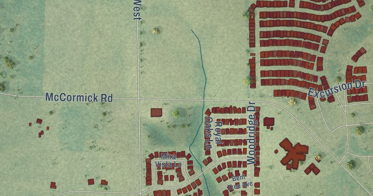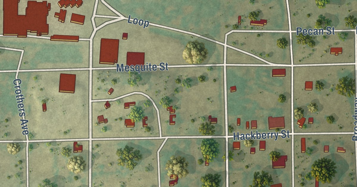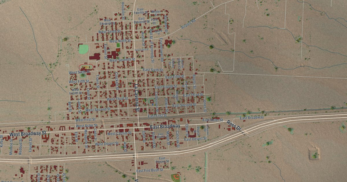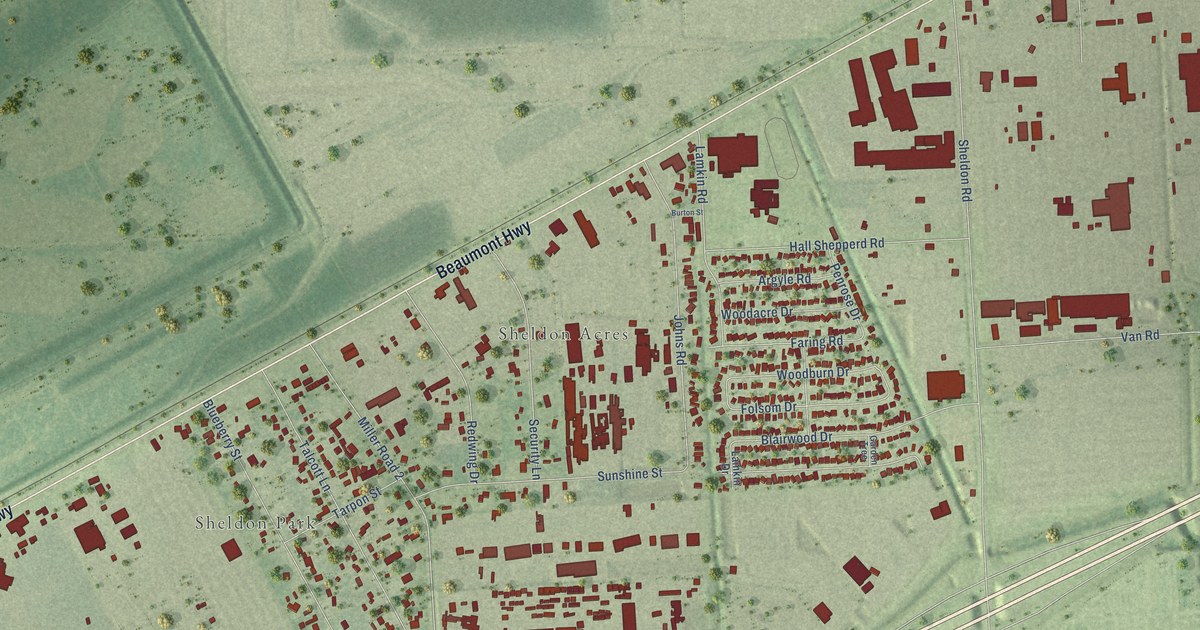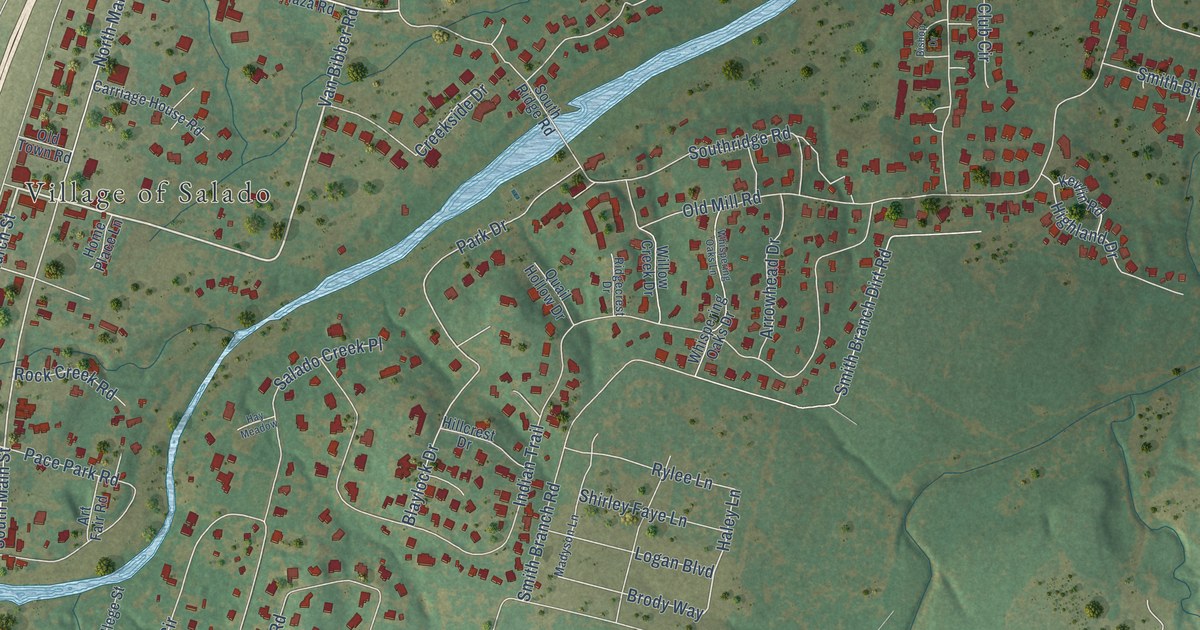
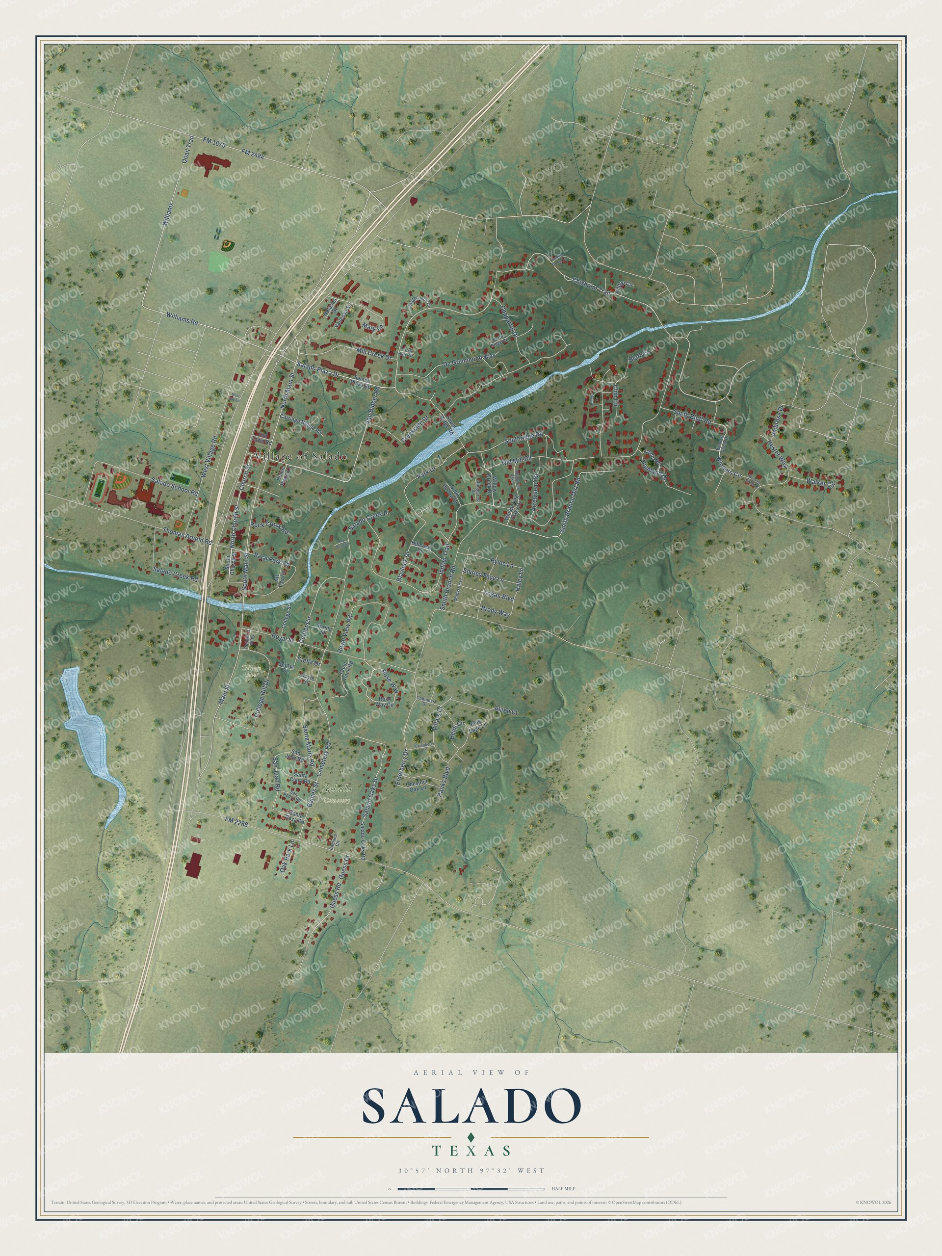
This beautifully detailed map of Salado, Texas was created in 2026 using aerial imagery combined with modern topographical, census, street and landmark data. It’s a one-of-a-kind view of Salado that combines accurate data with a vintage aesthetic. The map shows every building in its true location, many of the roads carry their names, and the shaded topographic relief shows the shape of the land.
Explore an aerial view of Salado, Texas
On the map you’ll find Village of Salado, Salado Cemetery, and College Park, along with Van Bibber Road, Church Street, Salado Plaza Drive, North Church Street, Williams Road, Chisholm Trail, North Main Street, Smith Bluff Road, Winners Circle, and more. If you look closely you can even find your house accurately drawn in its correct location. Zoom in on the preview to look for yours.
Did you know this piece of Salado, Texas history?
From the Handbook of Texas: "The first permanent Anglo-American settler at Salado was Archibald Willingham in 1850."
Take a closer look at the Salado map
Street and place names on the Salado, Texas map
These names are printed on the map of Salado, Texas.
Places: Village of Salado, Salado Cemetery and College Park.
Streets and roads: Van Bibber Road, Church Street, Salado Plaza Drive, North Church Street, Williams Road, Chisholm Trail, North Main Street, Smith Bluff Road, Winners Circle, San Juan Road, Haley Lane, Baines Street.
More street names, A to Z
Alpen Court, Ambrose Drive, Arrowhead Drive, Art Fair Road, Bishop Drive, Blaylock Drive, Blue Jay Lane, Blue Sage Lane, Bluff Circle, Brody Way, Cabiness Drive, Carriage House Road, Cemetery Road, Center Circle, Center Street, Chaparral Drive, Chelsea Circle, Chestnut Oak Lane, Chinaberry Lane, Club Circle, College Hill Drive, College Street, Creek Run Circle, Creekside Drive, De Grummond Way, Doyle Street, Elderberry Drive, FM 1670, FM 2268, FM 2484, Guess Drive, Guess Road, Hanks Boulevard, Hay Meadow, Heidi Circle, Hester Way, Highland Drive, Hillcrest Drive, Hilltop Circle, Home Place Lane, Indian Trail, Kevlin Road, Logan Boulevard, Madyson Lane, Main Street, Mary Lane, Mill Creek Drive, Natasha Street, North Ridge Road, Oak Park Lane, Old Mill Road, Old Town Road, Pace Park Road, Park Drive, Peddler's Alley, Quail Hollow Drive, Quail Trail, Ridgecrest Drive, Rock Creek Road, Rose Way, Rose Way Circle, Royal Street, Royal View Road, Rylee Lane, Salado Creek Place, Salado Creek Road, Salado Oaks Drive, Salado Oaks Road, Salado Plaza Road, Salado School Road, San Jose Road, San Pedro Road, Santa Clara Road, Santa Maria Road, Santa Rosa Road, Shirley Faye Lane, Smith Branch Dirt Road, Smith Branch Road, South Church Street, South Main Street, Southridge Road, South Ridge Road, Spring Street, Stagecoach Circle, Stella Drive, Table Rock Road, Thomas Arnold Road, Twelfth Green Lane, Vanessa Street, Villars Drive, Walker Circle, West Village Road, Whispering Oaks Drive, Whispering Oaks Lane, Williams, Willow Creek Drive, Winners Circle Drive.
See the Salado, Texas map on a wall
The Salado map as an 18 x 24 inch print in a black frame.

This beautifully detailed map of Salado makes an attractive addition to your office, library, or den, and it can even be used to teach children the geography and history of the area. It also makes a great gift for someone who left Salado and still calls it home. When you’re done exploring, click here to get your copy of the Salado map.