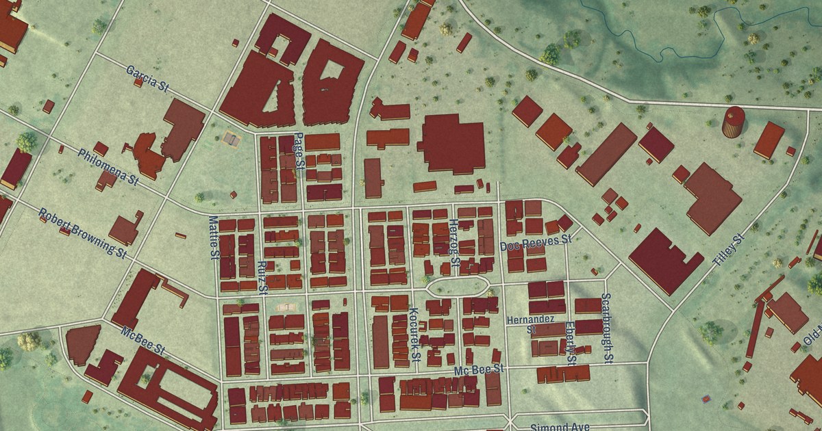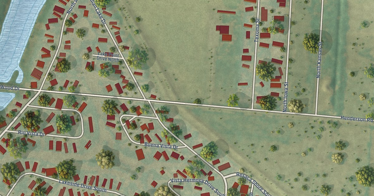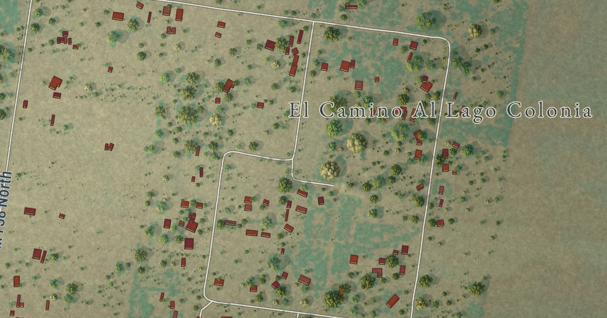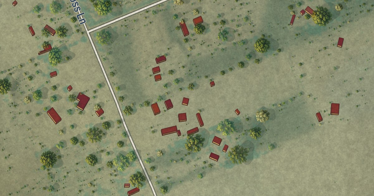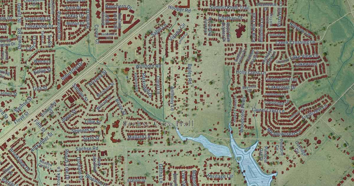
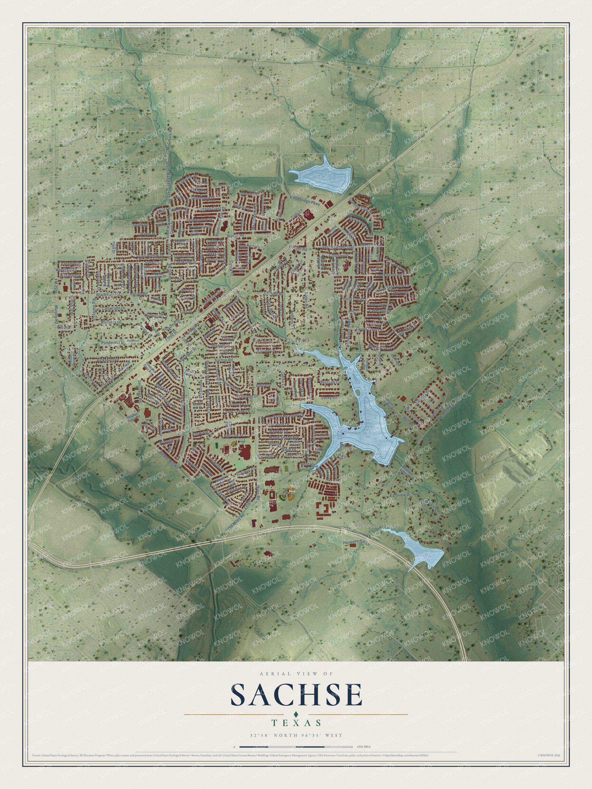
This beautifully detailed map of Sachse, Texas was created in 2026 using aerial imagery combined with modern topographical, census, street and landmark data. It’s a one-of-a-kind view of Sachse that combines accurate data with a vintage aesthetic. The map shows every building in its true location, many of the roads carry their names, and the shaded topographic relief shows the shape of the land.
Explore an aerial view of Sachse, Texas
On the map you’ll find Sachse City Hall, Pleasant Valley, and Heritage Park, along with Miles Road, Bunker Hill Road, Murphy Road, FM 2551, Blackburn Road, Pleasant Valley Road, Sachse Road, Third Street, Dewitt Road, and more. If you look closely you can even find your house accurately drawn in its correct location. Zoom in on the preview to look for yours.
Did you know this piece of Sachse, Texas history?
From the Texas Historical Commission: "Although Lake Lavon's construction in 1948 and the creation of the North Texas Municipal Water District in 1951 provided water for surrounding communities, Sachse was prohibited from receiving water from the district because it was not an incorporated town."
Take a closer look at the Sachse map
Street and place names on the Sachse, Texas map
These names are printed on the map of Sachse, Texas.
Places: Sachse City Hall, Pleasant Valley and Heritage Park.
Streets and roads: Miles Road, Bunker Hill Road, Murphy Road, FM 2551, Blackburn Road, Pleasant Valley Road, Sachse Road, Third Street, Dewitt Road, Dewitt Street, Fifth Street, Ben Davis Road.
More street names, A to Z
Abilene Drive, Aiken Trail, Alberta Circle, Aldridge Drive, Alexander Street, Annapolis Court, Anthony Lane, Arbordale Lane, Arizona Street, Ashwood Lane, Aspen Estates Drive, Bailey Road, Baker Street, Barger Lane, Baycrest Circle, Ben Road, Big Valley Lane, Billingsley Street, Blackstone Drive, Blossom Drive, Bluffview Drive, Bonanza Drive, Bradford Estates Drive, Bronco Bluff, Brookview Drive, Bryan Street, Burning Bush Road, Canyon Crest Drive, Canyon Meadow Drive, Carlton Drive, Cartwright Drive, Cedar Creek Lane, Cedar Elm Lane, Cedar Hill Court, Chateau Drive, Chene Drive, Clary Court, Clubhouse Drive, Cody Lane, Coral Lane, Cori Place, Cornwall Lane, Cornwall Street, Cotillion Drive, Country Club Drive, Covey Court, Crane Drive, Creekbend Court, Creek Crossing Lane, Creekridge Court, Creekside Drive, Creekstone Drive, Crestmere Lane, Crestmill Lane, Crestmoor Lane, Crestridge Lane, Eastview Drive, Edgemont Drive, Edinburgh Drive, Elation Drive, Elkhart Drive, Ellington Drive, Ermine Circle, Fairfield Way, Falcon Crest Lane, Fallbrook Drive, Fenwick Court, Fieldcrest Lane, Fieldlark Drive, Floyd Street, Foxglove Trail, Frost Street, Gatewood Court, Gentry Drive, Georgetown Drive, Getha Lane, Glencrest Drive, Glenhaven Drive, Glenview Drive, Grant Drive, Gravel Driveway, Graystone Drive, Green Tree Drive, Harlan Drive, Harmony Hill Lane, Harvest Bend Lane, Harvest Lane, Haverhill Lane, Hawk Lane, Herford Drive, Heritage Circle, Heritage Park Drive, Herring Circle, Hickory Estates Drive, Highland Crest Lane, High Point Drive, Hillshire Lane, Hillside Lane, Hilltop Trail, Hillview Lane, Holly Crest Lane, Hooper Road, Hudson Drive, Hunters Ridge Drive, Industrial Drive, Ingram Road, Irvin Drive, Jackson Drive, Jackson Meadows Drive, Jefferson Drive, Jewel Street, Keith Lane, Kellie Street, Lacey Circle, Lakecrest Drive, Lake Hill Trail, Lake View Lane, Lakewood, Lance Lane, Lariat Drive, Laurel Crest Lane, Leameadow Drive, Lee Hutson Lane, Leigh Court, Lillie Street, Live Oak Drive, Lone Elm Street, Longmeadow Drive, Magnolia Lane, Mallard Lane, Mane Drive, Maple Shade Avenue, Martha Avenue, McCreary Road, McDearmon Street, Meadow Creek Lane, Meadowcrest Lane, Meadowglen Drive, Meadowknoll Drive, Meadow Lane, Meadowside Drive, Merritt Road, Missouri Street, Mitchell Court, Mohan Court, Natchez Drive, Oaklawn Drive, Oakridge Circle, Old Ben Davis Road, Old Miles Road, Orchard Drive, Paradise Lane, Park Hill Trail, Park Lake Boulevard, Parkridge Drive, Parkview Drive, Parkwood Drive, Peach Tree Drive, Peach Tree Lane, Pecan Grove Drive, Pennington Drive, Pinnacle Circle, Pinnacle Oak Drive, Pleasant Valley Place, Ponderosa Drive, Ponderosa Trail, Potomac Drive, Quail Hollow Drive, Ranchero Drive, Ranch Road, Red Oak Street, Ridgebluff Lane, Ridgeview Drive, Rock House Road, Rosewood Lane, Royal Oak Estates Drive, Running Iron Trail, Rustic Ridge Court, Sable Lane, Sachse Street, Saddlehorn Way, Salmon Street, Sandi Lane, Second Street, Seth Avenue, Seventh Street, Sewell Drive, Shade Tree Court, Shady View Court, Shepard Glen Road, Simmons Drive, Sixth Street, Southgate Drive, South Maxwell Creek Drive, South Maxwell Creek Road, Southridge Drive, Spring Meadow Drive, Stampede Drive, Summit Knoll Trail, Summit Trail Lane, Sweet Gum Lane, Texas Drive, Timbercrest Trail, Tina Street, Todd Lane, Tracy Lynn Lane, Trailridge Drive, Ty Circle, Valley Forge, Valley View Lane, Vicksburg Drive, Vicuna Circle, Vista Creek Lane, Vista Hill Lane, Vista Lane, Vista Ridge Lane, Welch Lane, Westcreek Lane, Westgate Drive, Westglen Drive, Wilhelmina Drive, William Street, Williford Road, Willowbend Lane, Woodbridge Parkway, Woodcreek Way, Woodcrest Parkway, Woodglen Lane, Wrangler Lane.
See the Sachse, Texas map on a wall
The Sachse map as an 18 x 24 inch print in a black frame.

This beautifully detailed map of Sachse makes an attractive addition to your office, library, or den, and it can even be used to teach children the geography and history of the area. It also makes a great gift for anyone who grew up in Sachse or moved away. When you’re done exploring, click here to get your copy of the Sachse map.