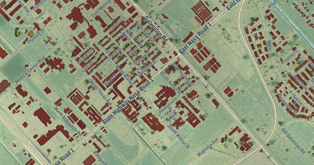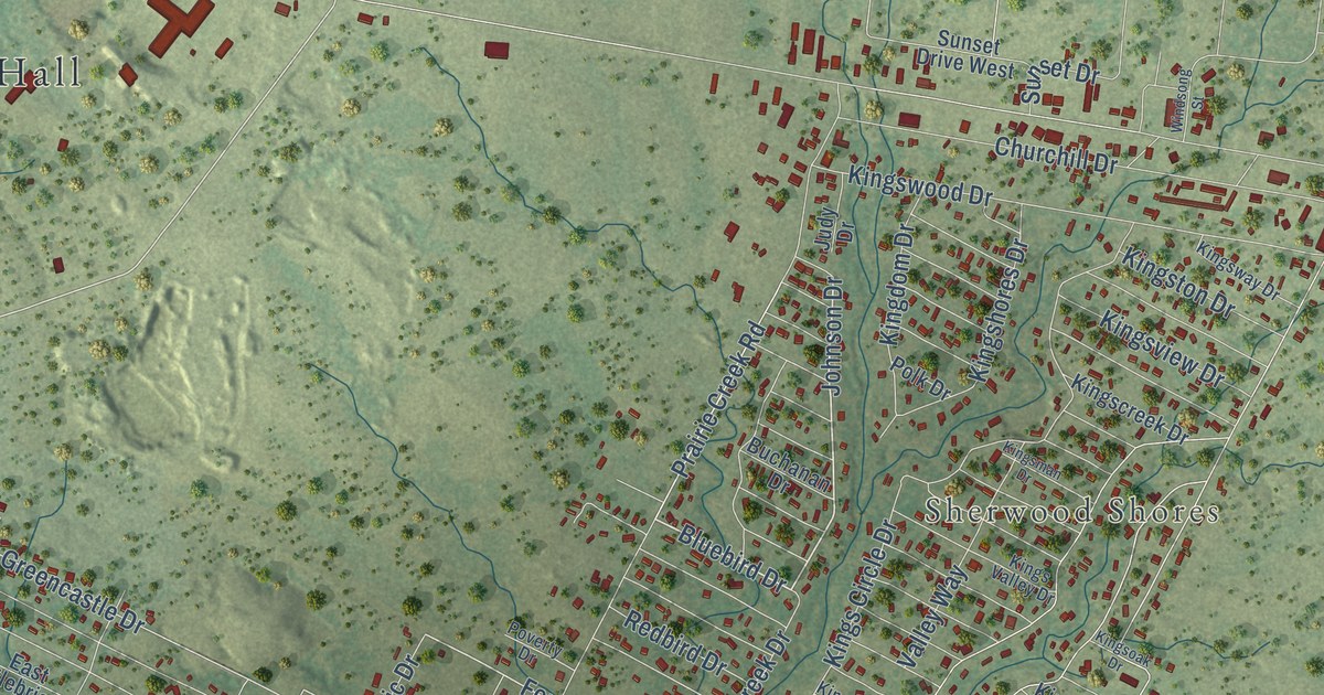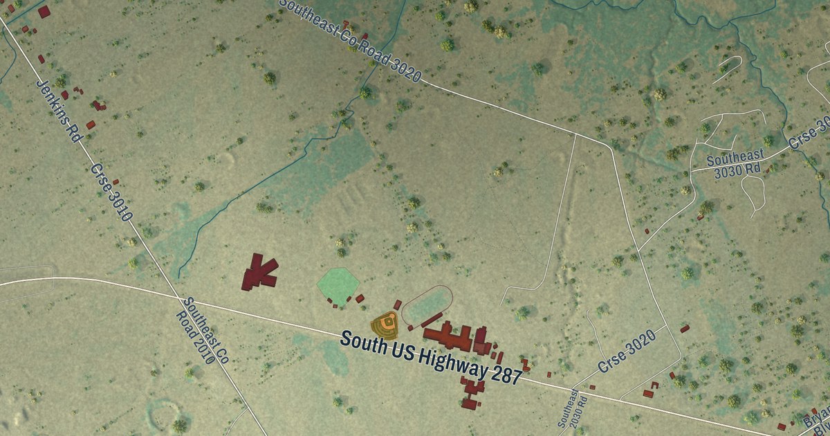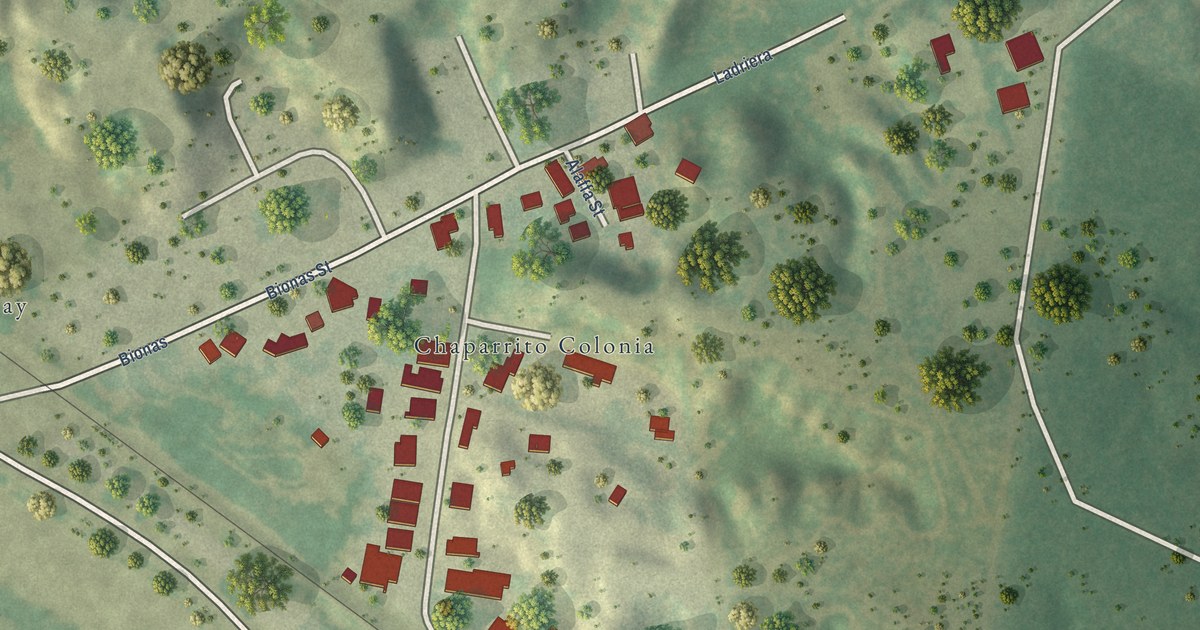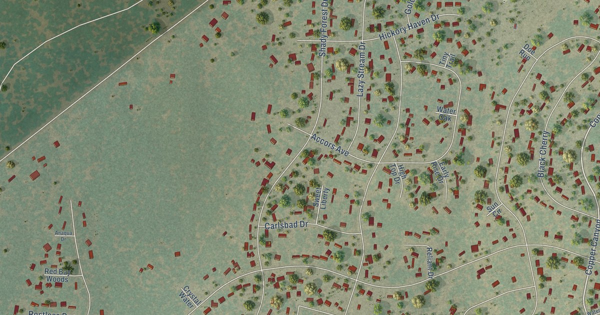
This beautifully detailed map of Sandy Oaks, Texas was created in 2026 using aerial imagery combined with modern topographical, census, street and landmark data. It’s a one-of-a-kind view of Sandy Oaks that combines accurate data with a vintage aesthetic. The map shows every building in its true location, many of the roads carry their names, and the shaded topographic relief shows the shape of the land.
Explore an aerial view of Sandy Oaks, Texas
On the map you’ll find Municipal Building, City Park, Copper Canyon, Grand Spring, and Hickory Shadow, along with Copper Canyon Drive, Priest Road, Waterwood Pass Drive, New Mathis Road, Skila Drive, Shady Forest Drive, Mathis Road, and more. If you look closely you can even find your house accurately drawn in its correct location. Zoom in on the preview to look for yours.
Did you know this piece of Sandy Oaks, Texas history?
From the City of Sandy Oaks: "The City of Sandy Oaks was incorporated in Bexar County on May 10, 2014."
Take a closer look at the Sandy Oaks map
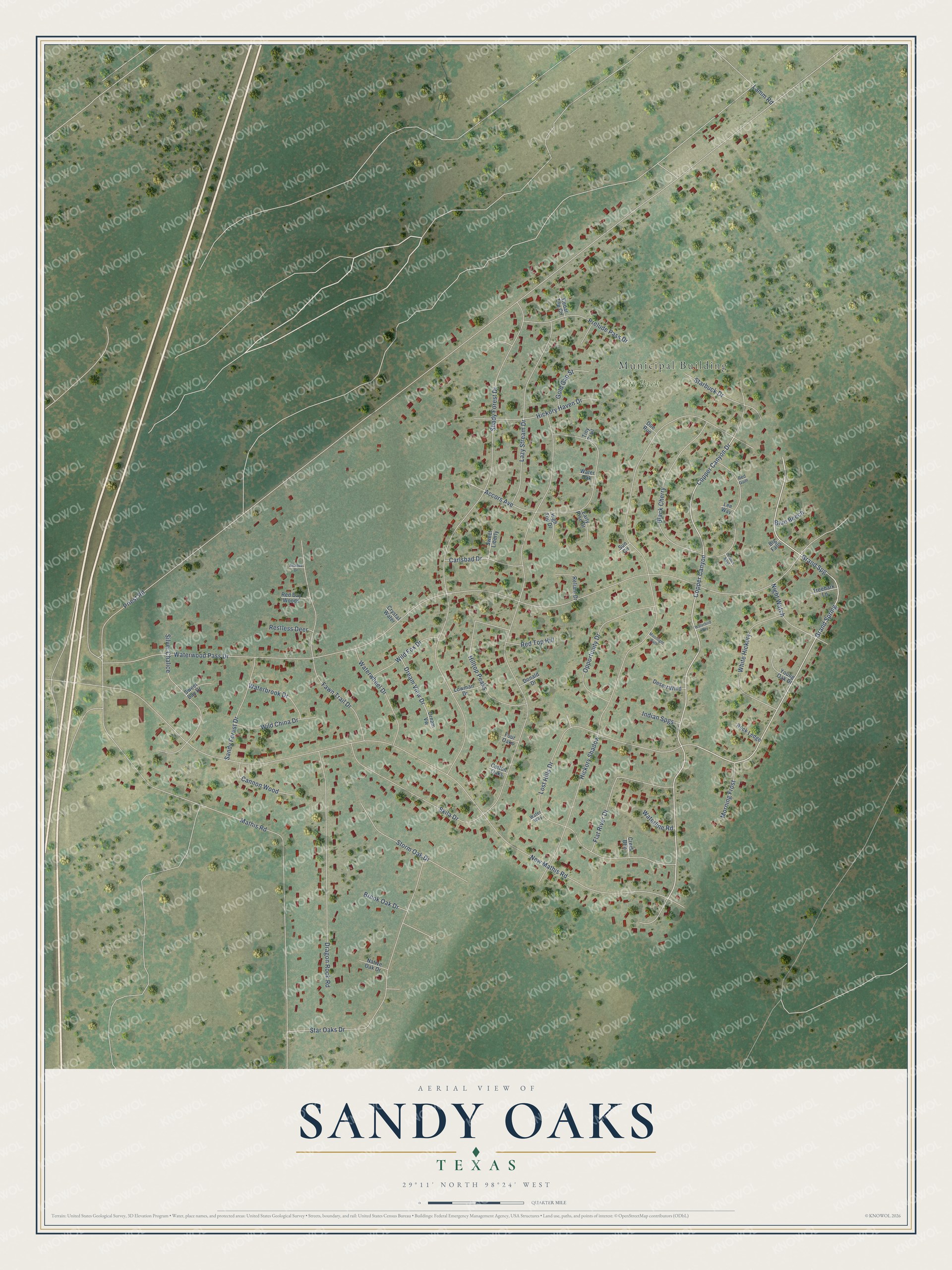
Street and place names on the Sandy Oaks, Texas map
These names are printed on the map of Sandy Oaks, Texas.
Places: Municipal Building and City Park.
Streets and roads: Copper Canyon, Grand Spring, Copper Canyon Drive, Priest Road, Waterwood Pass Drive, New Mathis Road, Hickory Shadow, Skila Drive, Shady Forest Drive, Mathis Road, Lost Hills Drive, Black Cherry.
More street names, A to Z
Accors Avenue, Anaqua Drive, Big Falls, Blue Beech, Brook Oak Drive, Cannon Wood, Carlsbad Drive, Cedar Top Circle, Cotton Oaks, Creek Btm, Crystal Water, Desert Wind, Doe Run, Donald Drive, Dragon Rock Road, Dream View Drive, Dream Vw, Early Rise Drive, Fawn Trail Drive, Flat River Drive, Four Oaks, Gold Gap Street, Grand Spg, Hickory Haven Drive, Hidden Nest, High Top Drive, Hilltop Peaks, Indian Spgs, Lamm Road, Lazy Stream Drive, Lee Way, Lowman Drive, Moonlight Path, Morning Frost, Native Oak Drive, Night Watch, Opportunity Drive, Prelude Pass Drive, Red Bay Woods, Red Gum, Red Top Hill, Reliant Drive, Restless Deer, Rock Ledge, Sandy Forest Drive, Silver Chalice, Starbuck Drive, Star Oaks Drive, Storm Oak Drive, Sun Circle, Sweet Bay Drive, Sweet Liberty, Tiny Trail, Treebark Lane, Waterbird Way, Waterbrook Drive, Waterline Road, Water Oak, Water Way, Waterwheel Drive, White Hickory, Wild China Drive, Wild Fox Drive, Young Oak Drive.
See the Sandy Oaks, Texas map on a wall
The Sandy Oaks map as an 18 x 24 inch print in a black frame.

This beautifully detailed map of Sandy Oaks makes an attractive addition to your office, library, or den, and it can even be used to teach children the geography and history of the area. It also makes a great gift for anyone who grew up in Sandy Oaks or moved away. When you’re done exploring, click here to get your copy of the Sandy Oaks map.