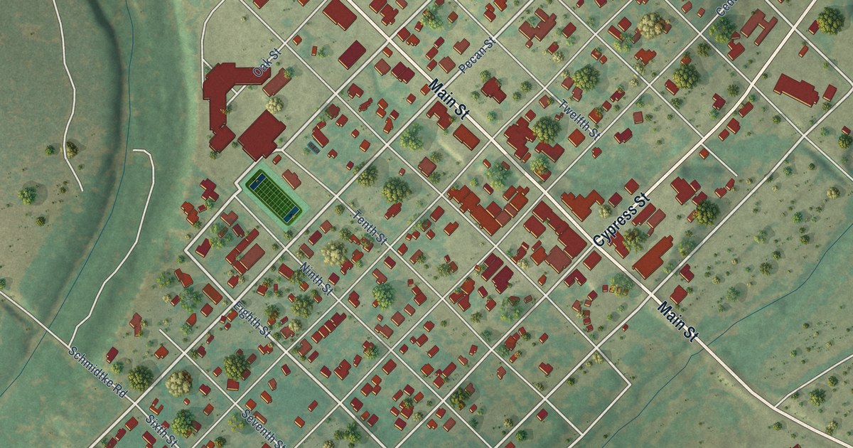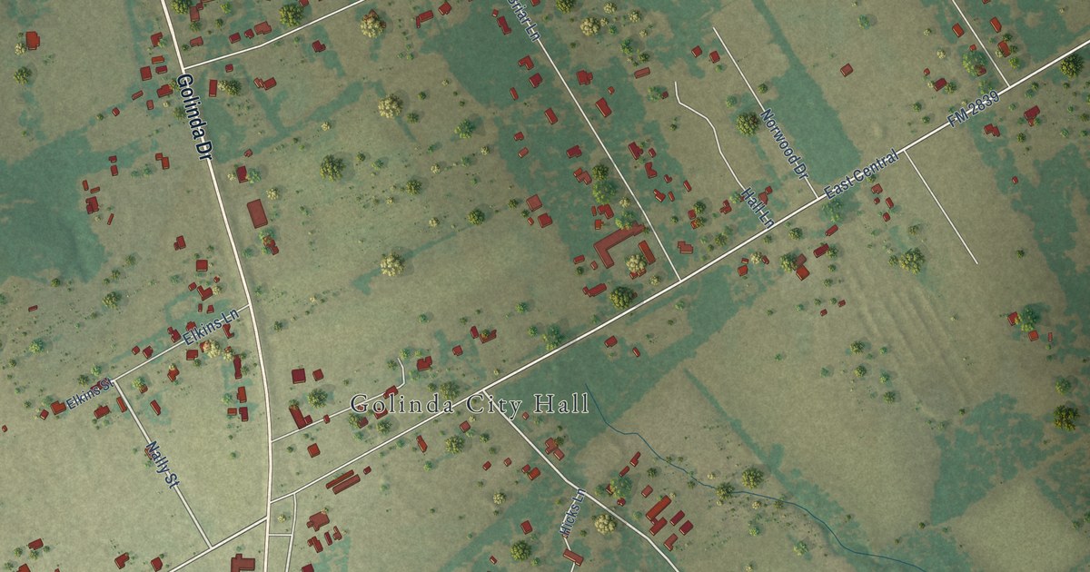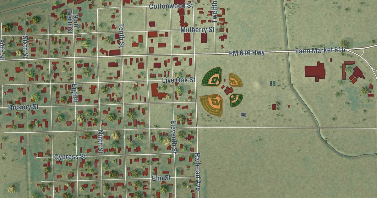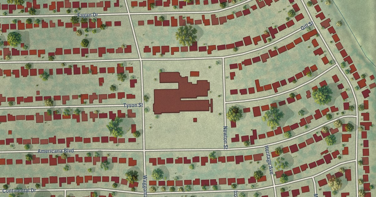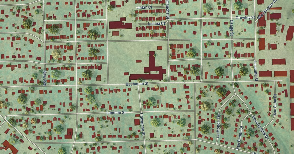
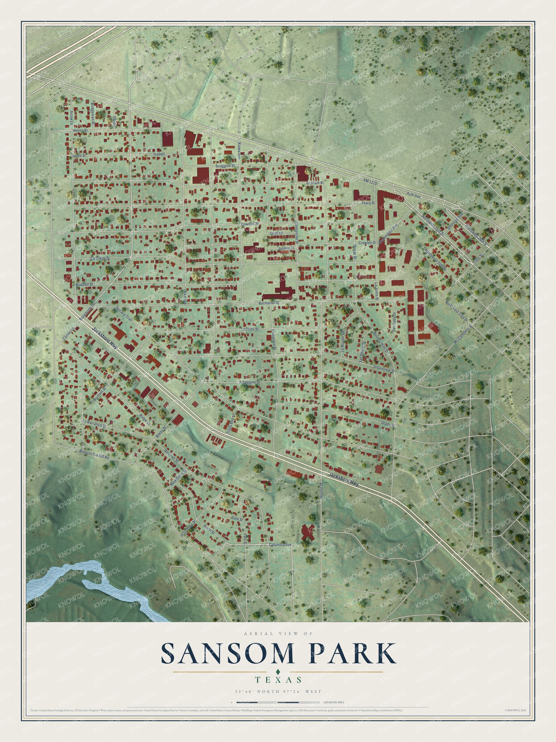
This beautifully detailed map of Sansom Park, Texas was created in 2026 using aerial imagery combined with modern topographical, census, street and landmark data. It’s a one-of-a-kind view of Sansom Park that combines accurate data with a vintage aesthetic. The map shows every building in its true location, many of the roads carry their names, and the shaded topographic relief shows the shape of the land.
Explore an aerial view of Sansom Park, Texas
On the map you’ll find Jacksboro Highway, Columbia Avenue, Northwest 25th Street, Northwest 26th Street, Broadview Drive, Azle Avenue, FM 1220, Skyline Drive, Biway Street, Roberts Cut Off Road, Buchanan Street, Terrace Trail, and more. If you look closely you can even find your house accurately drawn in its correct location. Zoom in on the preview to look for yours.
Did you know this piece of Sansom Park, Texas history?
In the late 1930s, John Shockley, Robertson Hunter, and other residents organized against taxation and annexation attempts. Their successful petition led to Sansom Park becoming an independent village on March 24, 1949. That’s from the City of Sansom Park.
Take a closer look at the Sansom Park map
Street names on the Sansom Park, Texas map
These names are printed on the map of Sansom Park, Texas.
Streets and roads: Jacksboro Highway, Columbia Avenue, Northwest 25th Street, Northwest 26th Street, Broadview Drive, Azle Avenue, FM 1220, Skyline Drive, Biway Street, Roberts Cut Off Road, Buchanan Street, Terrace Trail.
More street names, A to Z
Andover Street, Arrow Lane, Beverly Hills Drive, Bridgeman Street, Calloway Street, Cheyenne Street, Comanche Street, Corner Lane, Cowden Street, Crowley Street, Flagstone Drive, Fritz Allen Street, Gale Street, Glade Street, Graham Street, Helms Street, Isabell, Isbell Street, Jalah Court, Joshua Court, Kaw Avenue, Kiowa Avenue, Korth Street, La Barranca Street, La Junta Street, La Monde Terrace, Landino Street, Mc Candless Street, Nina Maria Street, Norfleet Street, Northwest 23rd Street, Northwest 24th Street, Osage Street, Ridge Lane, San Benito Street, San Saba Drive, Scoggins Street, Sherman Avenue, Tipton, Titus Street, Trails End Street, Urbanview Street, Waddell Street, Washington Avenue, Yale Street, Yeary Street.
See the Sansom Park, Texas map on a wall
The Sansom Park map as an 18 x 24 inch print in a black frame.

This beautifully detailed map of Sansom Park makes an attractive addition to your office, library, or den, and it can even be used to teach children the geography and history of the area. It also makes a great gift for anyone who grew up in Sansom Park or moved away. When you’re done exploring, click here to get your copy of the Sansom Park map.