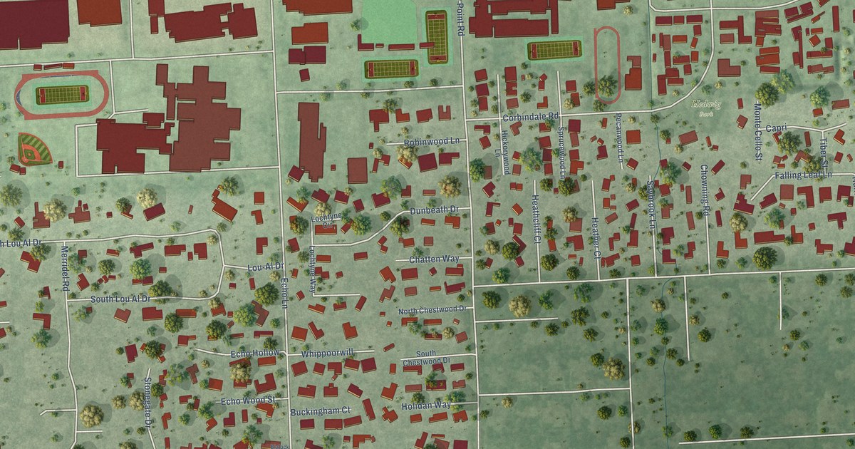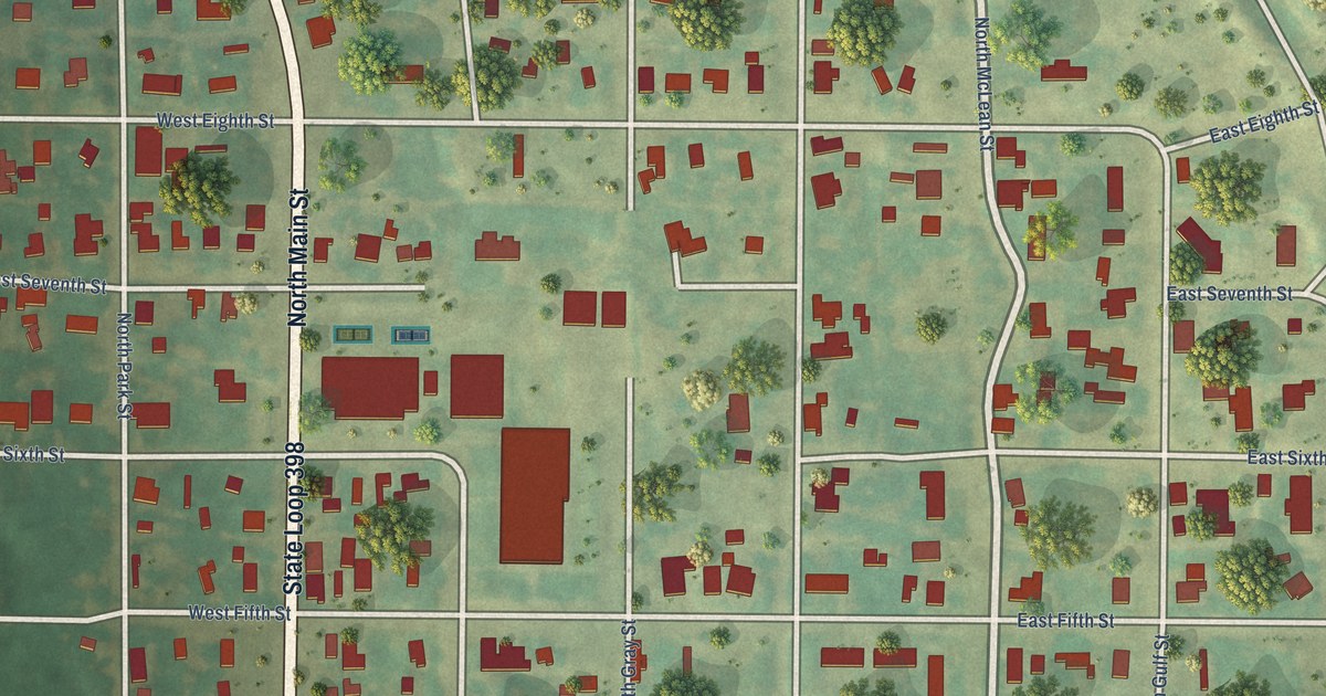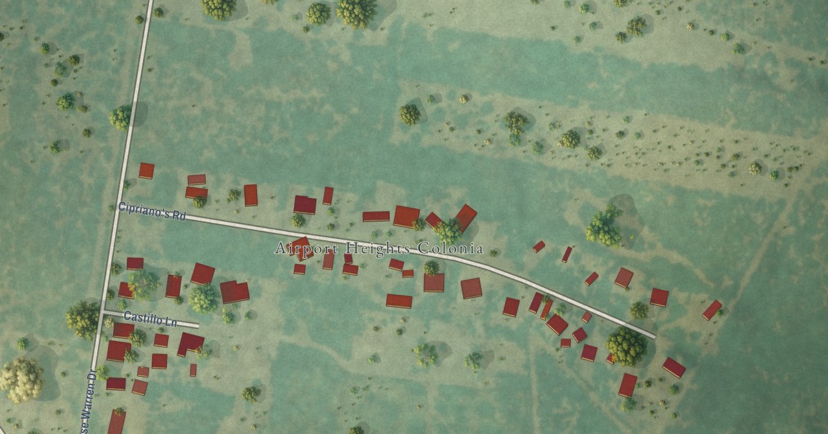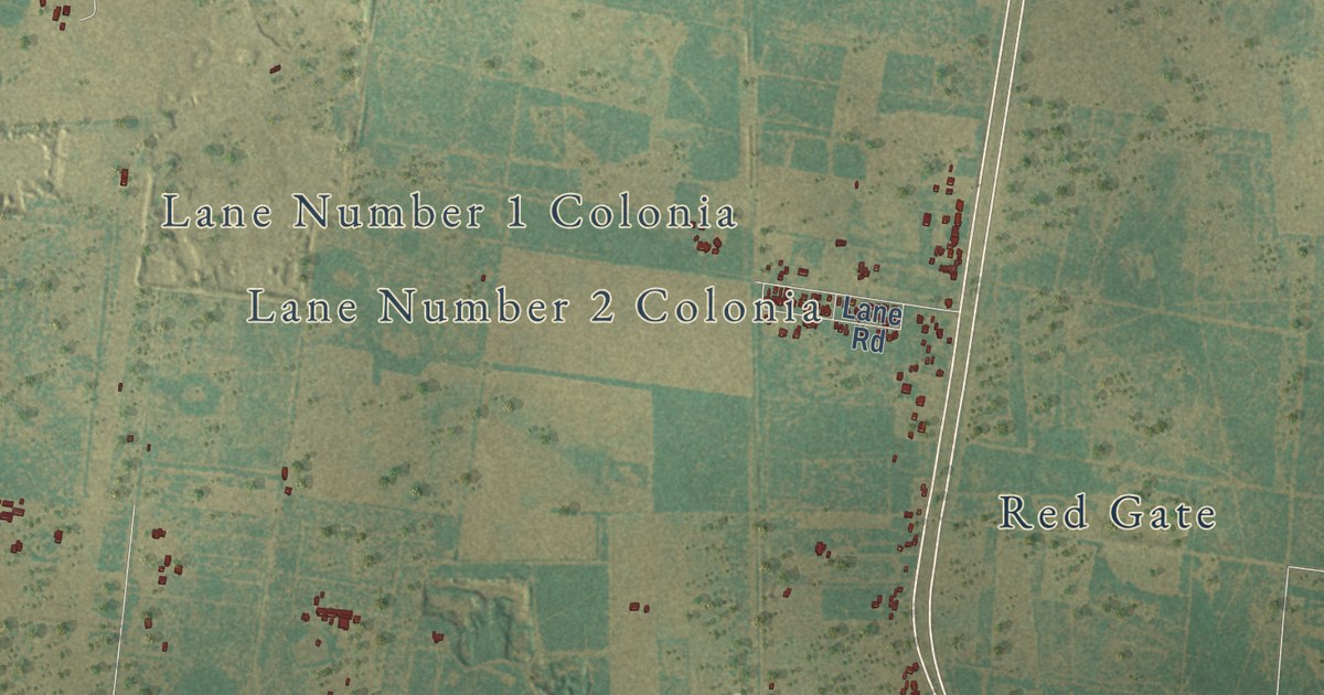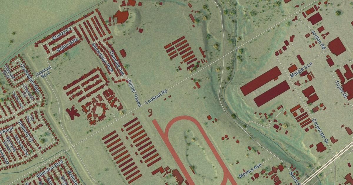
This beautifully detailed map of Selma, Texas was created in 2026 using aerial imagery combined with modern topographical, census, street and landmark data. It’s a one-of-a-kind view of Selma that combines accurate data with a vintage aesthetic. The map shows every building in its true location, many of the roads carry their names, and the shaded topographic relief shows the shape of the land.
Explore an aerial view of Selma, Texas
On the map you’ll find Luxello, Derby Run, Stampede Ranch, Auburn Park, Derby Vis, Rosespur Park, Buck Mountain, Turfway Park, and Rustic Willow, along with Lookout Road, Agora Parkway, Phoenix Avenue, and more. If you look closely you can even find your house accurately drawn in its correct location. Zoom in on the preview to look for yours.
Did you know this piece of Selma, Texas history?
From the Handbook of Texas: "A post office opened in 1856, and by 1885 Selma had two general stores, two cotton gins, three blacksmiths, a saloon, a school, a wagonmaker, and a population of 145."
Take a closer look at the Selma map
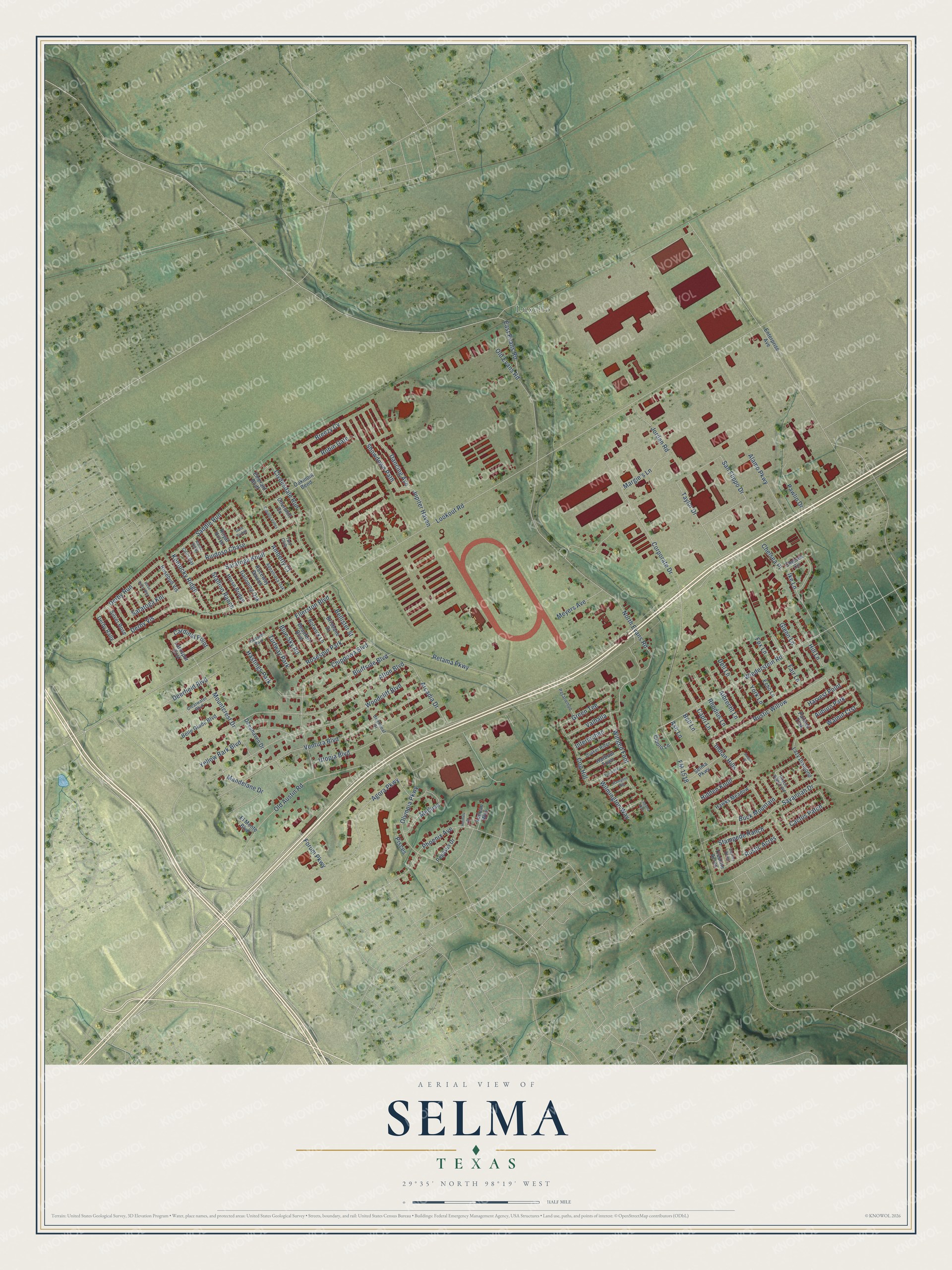
Street and place names on the Selma, Texas map
These names are printed on the map of Selma, Texas.
Places: Luxello, Auburn Park, Rosespur Park, Turfway Park, Hastings Park and Hoosier Park.
Streets and roads: Lookout Road, Derby Run, Agora Parkway, Stampede Ranch, Derby Vis, Phoenix Avenue, Buck Mountain, Rustic Willow, Clydesdale Run, Olympia Parkway, Jordan Road, Robin Gate.
More street names, A to Z
Acorn Place, Aegean Way, Alamo Derby, Alamo Parkway, Albrecht Lane, Alton Boulevard, Amberly Court, Appaloosa Oak, Arcadia Drive, Ash Lane, Beaufort Boulevard, Belle Glade Boulevard, Bellister Street, Bell Lane, Blue Sky Road, Bluffside Boulevard, Borwick Lane, Breezy Cv, Brightleaf Drive, Brisbane Drive, Caballo Valley, Cactus Patch, Capri Lane, Cardinal Point, Chelsea Circle, Chelsea Place, Chippewa Boulevard, Churchill Cv, Cibolo Lane, Clearwater Boulevard, Cog Hill, Colts Bay, Corporate Drive, Dancing Avenue, Deephaven Drive, Deerfield Boulevard, Dell Lane, Derby Rally, Destiny Acres, East Evans Road, Echo Lane, Ellerston Boulevard, El Monte Boulevard, Emerald Bluff, Enterprise Avenue, Fair Lane, FM 1518, Forum Parkway, Fox Lane, Galloping Oak, Gate Bridge, Glenn Lane, Green Tee, Hampton Hill, Harbour Town, Harvest Point, Hawks Meadow, Hermes Drive, Hidden Knoll, Hill Lane, Horse Bridge, Ike Lane, Indian Hills, Interlachen, Jupiter Haven, Kentucky Ridge, Laguna Hills, Larkspur Crst, Lazy Diamond, Mandelane Drive, Margie's Lane, Medusa, Meyers Avenue, Mountcrest Drive, North Evans Road, Oakmont Bend, Old Austin Road, Old Evans Road, Painted Trak, Pasatiempo, Pawlin Drive, Pegasus Drive, Pinseeker, Pisces, Quaker Ridge, Raceway Downs, Retama Parkway, Rhodius Lane, Rosebud Vis, Rose Rally Way, Royal Horse, Royce Ranch Road, Ruidoso Chase, Rustic Acres, Saddle Run, San Flippo Drive, Saratoga Knl, Saratoga Knoll, Savannah Drive, Selma Parkway, Showdown Path, Silver Rose, Stallion Ranch, Taylor Drive, Treeline Acres, Turf Club, Utopia Boulevard, Valhalla, Ventura Boulevard, Walnut Crst, Wiederstein Road, Wilmington Way, Winged Foot, Woodcliff Boulevard, Yellow Bark Boulevard, York Lane.
See the Selma, Texas map on a wall
The Selma map as an 18 x 24 inch print in a black frame.

This beautifully detailed map of Selma makes an attractive addition to your office, library, or den, and it can even be used to teach children the geography and history of the area. It also makes a great gift for someone who left Selma and still calls it home. When you’re done exploring, click here to get your copy of the Selma map.