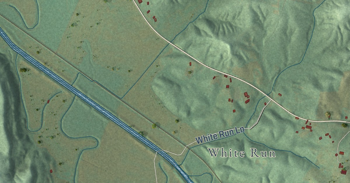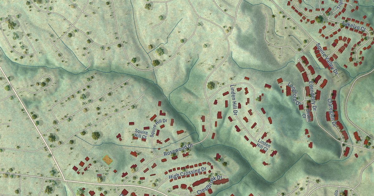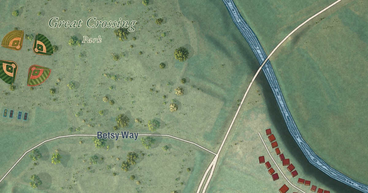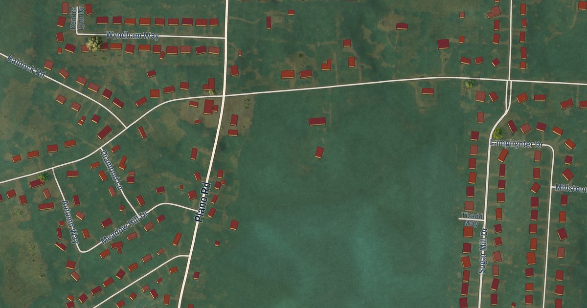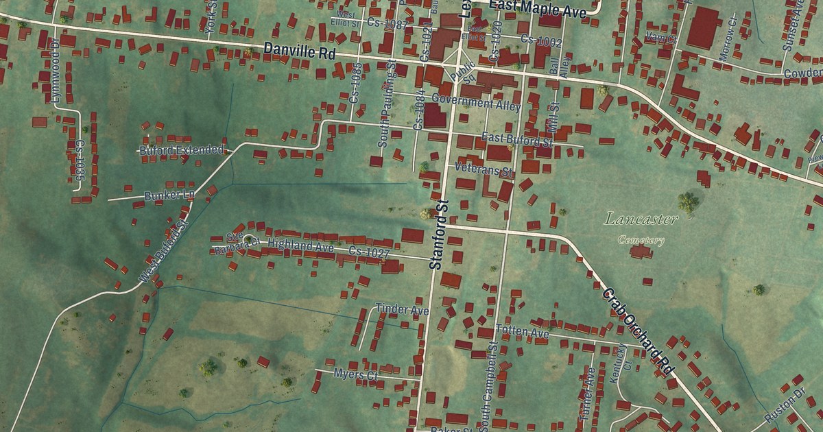
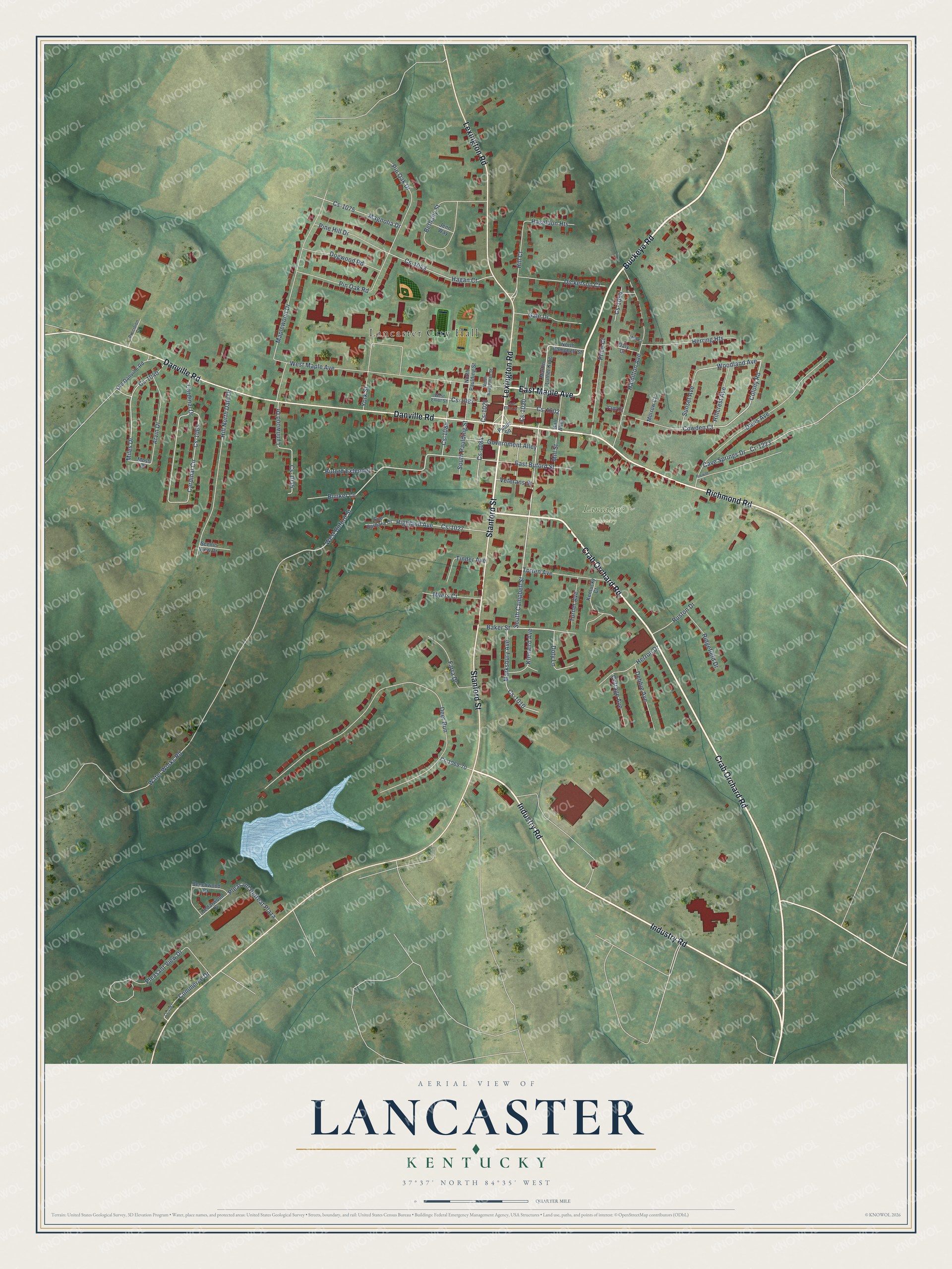
This beautifully detailed map of Lancaster, Kentucky was created in 2026 using aerial imagery combined with modern topographical, census, street and landmark data. It’s a one-of-a-kind view of Lancaster that combines accurate data with a vintage aesthetic. The map shows every building in its true location, many of the roads carry their names, and the shaded topographic relief shows the shape of the land.
Explore an aerial view of Lancaster, Kentucky
On the map you’ll find Lancaster City Hall and Lancaster Cemetery, along with Buckeye Road, Industry Road, East Maple Avenue, Richmond Road, Crab Orchard Road, Danville Road, Lexington Road, Stanford Street, Doty Lane, South Campbell Street, and more. If you look closely you can even find your house accurately drawn in its correct location. Zoom in on the preview to look for yours.
Did you know this piece of Lancaster, Kentucky history?
From the Kentucky A Guide to the Bluegrass State: "The town was settled in 1798 by pioneers from Lancaster, Pennsylvania, who designed and named it for their native city."
Take a closer look at the Lancaster map
Street and place names on the Lancaster, Kentucky map
These names are printed on the map of Lancaster, Kentucky.
Places: Lancaster City Hall and Lancaster Cemetery.
Streets and roads: Buckeye Road, Industry Road, East Maple Avenue, Richmond Road, Crab Orchard Road, Danville Road, Lexington Road, Stanford Street, Doty Lane, South Campbell Street, Miles Drive, Colony Road.
More street names, A to Z
Arvin Drive, Baker Street, Ball Alley, Beechwood Drive, Bethany Street, Buford Extended, Bunker Lane, Cardinal Circle, Cardinal Drive, Cave Springs Drive, Cedarwood Drive, Commerce Drive, Cottage Avenue, Cowden Court, Cr-1223, Cs-1002, Cs-1010, Cs-1020, Cs-1021, Cs-1027, Cs-1035, Cs-1040, Cs-1043, Cs-1054, Cs-1066, Cs-1067, Cs-1069-70, Cs-1075, Cs-1084, Cs-1085, Cs-1087, Daly Court, Davis Avenue, Debbie Avenue, Deer Run, Dickerson Court, Dogwood Road, East Buford Street, East Elliot Street, Farra Drive, Gale Drive, Government Alley, Hagan Court, Hamilton Avenue, Haseldon Heights, Herring Heights, Herron Drive, Highland Avenue, Hill Court, Hillcrest Avenue, Hill North Dale Drive, Jenn Way, Kentucky Court, Kinnaird Avenue, Lynnwood Drive, Magnolia Drive, Maplewood Drive, Marksbury Avenue, Martin Luther King, Millarn, Mill Street, Morrow Court, Moss Drive, Myers Court, North Baughman Street, North Campbell Street, North Paulding Street, Old Danville Road, Pine Hill Drive, Pin Oak Drive, Pin Oak Road, Pleasant Retreat Plaza, Pleasant View Drive, Precision Court, Prewitt Lane, Price Court, Public Square, Ridgefield Drive, Ruston Drive, Scenic View Drive, South Paulding Street, Sue Barbara Court, Sunset Avenue, Tinder Avenue, Totten Avenue, Turner Avenue, Vam Court, Veterans Street, Water Works Road, West Buford Street, West Elliot Street, West Maple Avenue, Woodland Avenue, York Street.
See the Lancaster, Kentucky map on a wall
The Lancaster map as an 18 x 24 inch print in a black frame.

This beautifully detailed map of Lancaster makes an attractive addition to your office, library, or den, and it can even be used to teach children the geography and history of the area. It also makes a great gift for someone who left Lancaster and still calls it home. When you’re done exploring, click here to get your copy of the Lancaster map.