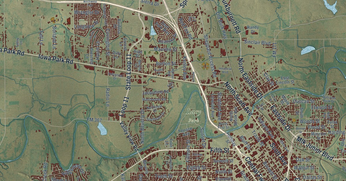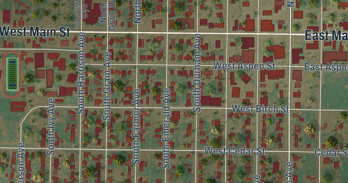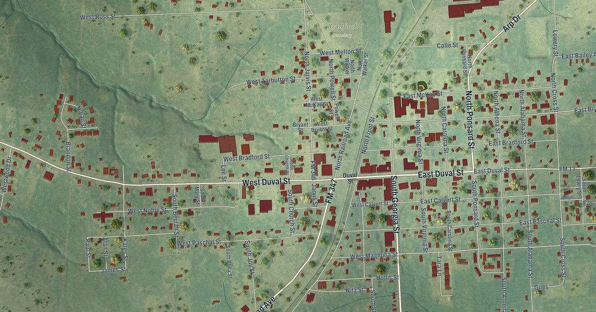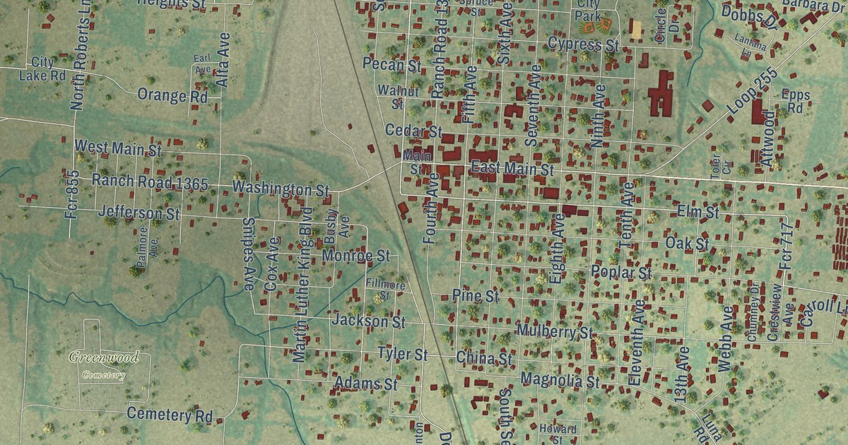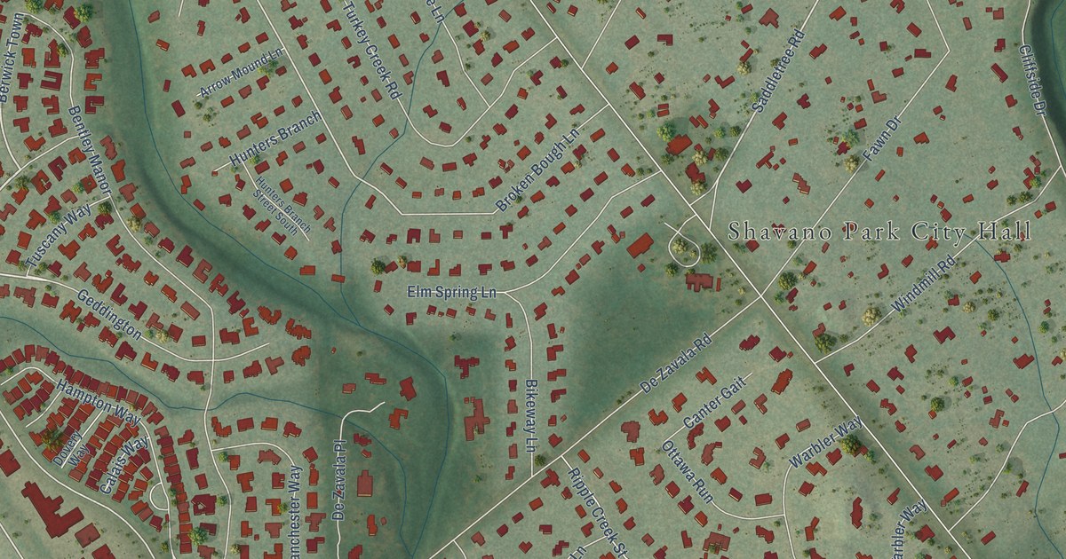
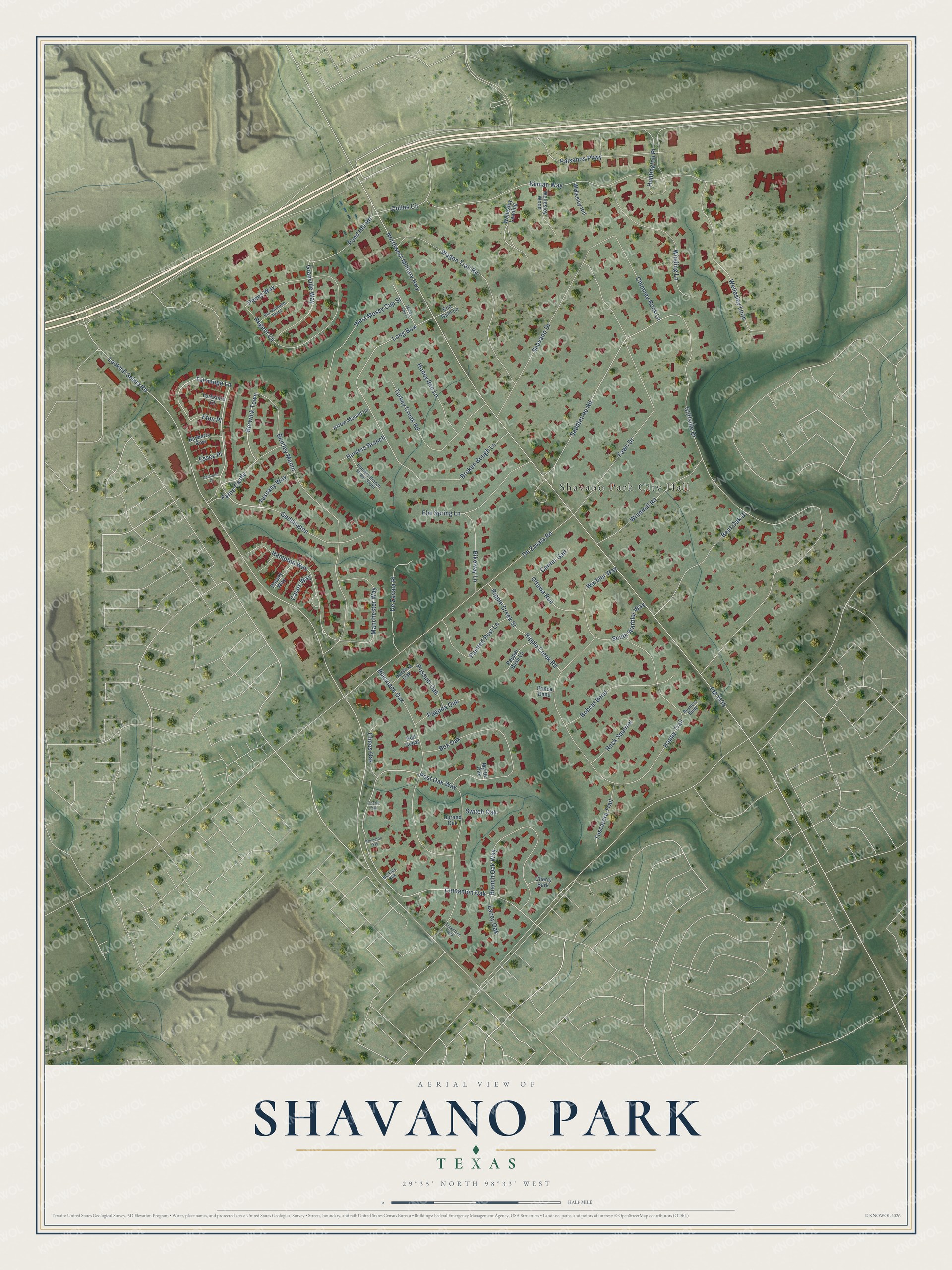
This beautifully detailed map of Shavano Park, Texas was created in 2026 using aerial imagery combined with modern topographical, census, street and landmark data. It’s a one-of-a-kind view of Shavano Park that combines accurate data with a vintage aesthetic. The map shows every building in its true location, many of the roads carry their names, and the shaded topographic relief shows the shape of the land.
Explore an aerial view of Shavano Park, Texas
On the map you’ll find Shavano Park City Hall, Farne Castle, Geddington, Berwick Town, Cinnamon Oak, and Long Bow, along with Talmadge Lane, Saddletree Road, Lockhill Selma Road, Northwest Military Highway, FM 1535, Cliffside Drive, and more. If you look closely you can even find your house accurately drawn in its correct location. Zoom in on the preview to look for yours.
Did you know this piece of Shavano Park, Texas history?
A. De Zavala kept an early store at Shavano and became its postmaster in 1881. The railroad made it a small station in 1884. Shavano faded after that, and its post office closed in 1903. The old site was sold for homes in 1947. Shavano Park became a city on June 19, 1956. That’s from the Handbook of Texas.
Take a closer look at the Shavano Park map
Street and place names on the Shavano Park, Texas map
These names are printed on the map of Shavano Park, Texas.
Places: Shavano Park City Hall.
Streets and roads: Farne Castle, Geddington, Talmadge Lane, Berwick Town, Cinnamon Oak, Saddletree Road, Lockhill Selma Road, Long Bow, Northwest Military Highway, FM 1535, Cliffside Drive, Happy Trail.
More street names, A to Z
Arrow Mound Lane, Bayberry Row, Bentley Manor, Bent Oak Drive, Berkley Oak, Bikeway Lane, Blackjack Oak, Bobcat Bend, Box Oak, Branch Oak Way, Broken Bough Lane, Calais Way, Cameron Court, Canter Gait, Cheos Oak, Cherry Bark, Cherry Oak, Chimney Rock Lane, Colins Circle, De Zavala Place, De Zavala Road, Dovery Way, Durand Oak, Elm Spring Lane, End Gate Lane, Essex Place, Eton Place, Fawn Drive, Granville Way, Hampton Way, Harvard Oak, Honey Bee Lane, Hunters Branch, Hunters Branch Street South, Huntington Place, Kinnan Way, Lacey Oak, Limestone Oak, Manchester Way, Mossy Cup Lane, Myrtle Oak, Ottawa Run, Pagoda Oak, Painted Post Lane, Paisanos Parkway, Penns Way, Pepper Bush Lane, Perrisimone Pond, Ponca Bend, Pond Hill Road, Possum Oak, Post Oak Way, Princeton Oak, Red Cedar, Regent Circle, Ripple Creek Road, Ripple Creek Street, Rock Squirrel, Rustlers Butte, Shavano Drive, South Warbler Way, Switch Oak, Turkey Creek Road, Tuscany Way, Tuscarora Trail, Wagon Trail Road, Warbler Way, Wellesley Hill, Wellesley Landing, Wellesley Loop, Wellesley Wood, West Mossy Cup Street, Winding Lane, Windmill Road, Yorkshire Court.
See the Shavano Park, Texas map on a wall
The Shavano Park map as an 18 x 24 inch print in a black frame.

This beautifully detailed map of Shavano Park makes an attractive addition to your office, library, or den, and it can even be used to teach children the geography and history of the area. It also makes a great gift for anyone with Shavano Park roots. When you’re done exploring, click here to get your copy of the Shavano Park map.