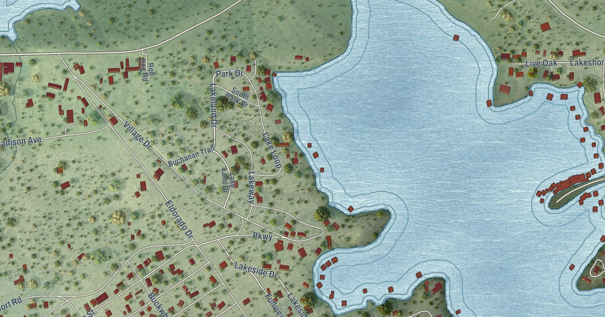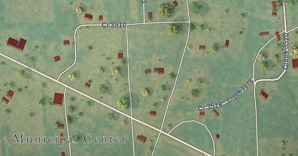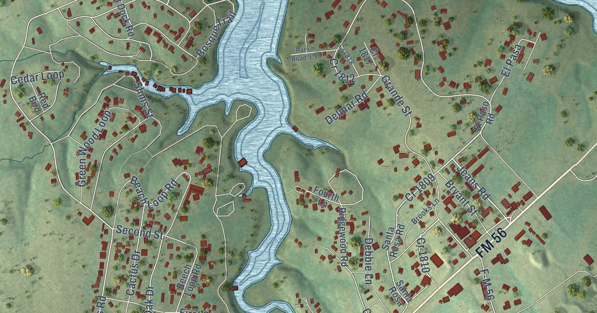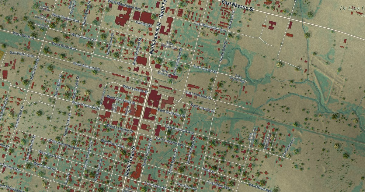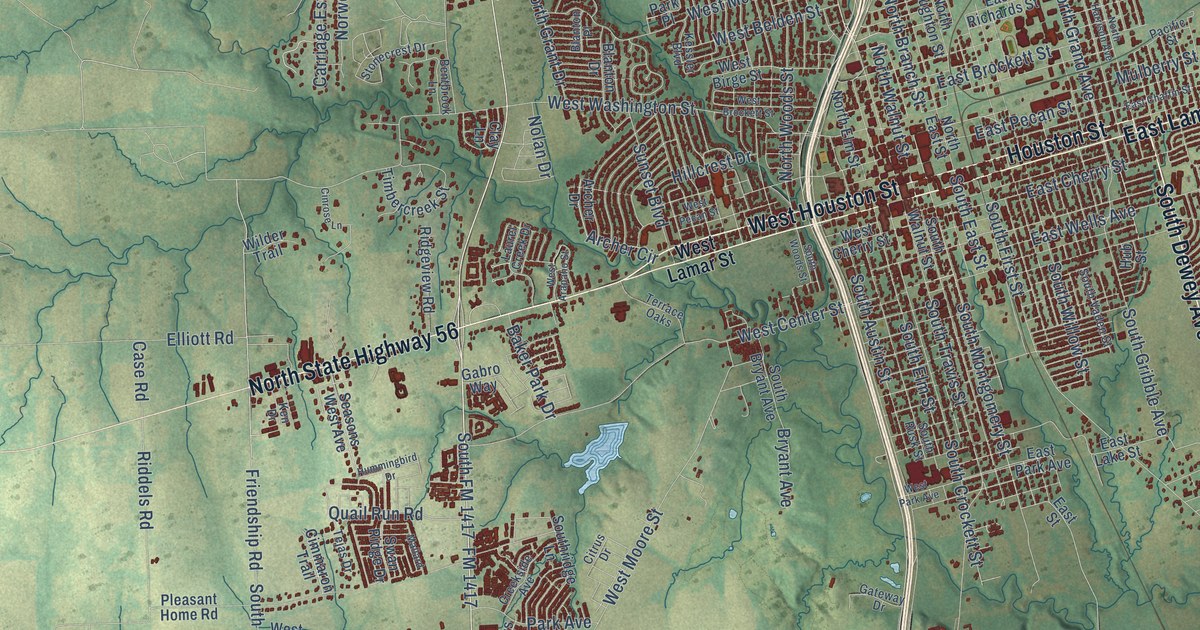
This beautifully detailed map of Sherman, Texas was created in 2026 using aerial imagery combined with modern topographical, census, street and landmark data. It’s a one-of-a-kind view of Sherman that combines accurate data with a vintage aesthetic. The map shows every building in its true location, many of the roads carry their names, and the shaded topographic relief shows the shape of the land.
Explore an aerial view of Sherman, Texas
On the map you’ll find Ellsworth, Hilton, and Tribune, along with South Dewey Avenue, Texoma Parkway, North State Highway 56, West Houston Street, South Highway 91, East Lamar Street, Houston Street, West US Highway 82, FM 1417, and more. If you look closely you can even find your house accurately drawn in its correct location. Zoom in on the preview to look for yours.
Did you know this piece of Sherman, Texas history?
The city is named for General Sidney Sherman, who was a hero of the Texas Revolution. When lawmakers created Grayson County on March 17, 1846, they made the town its county seat. It first stood at the center of the county but moved to its present site in 1848. By 1850 the Butterfield Overland Mail stopped there.
Take a closer look at the Sherman map
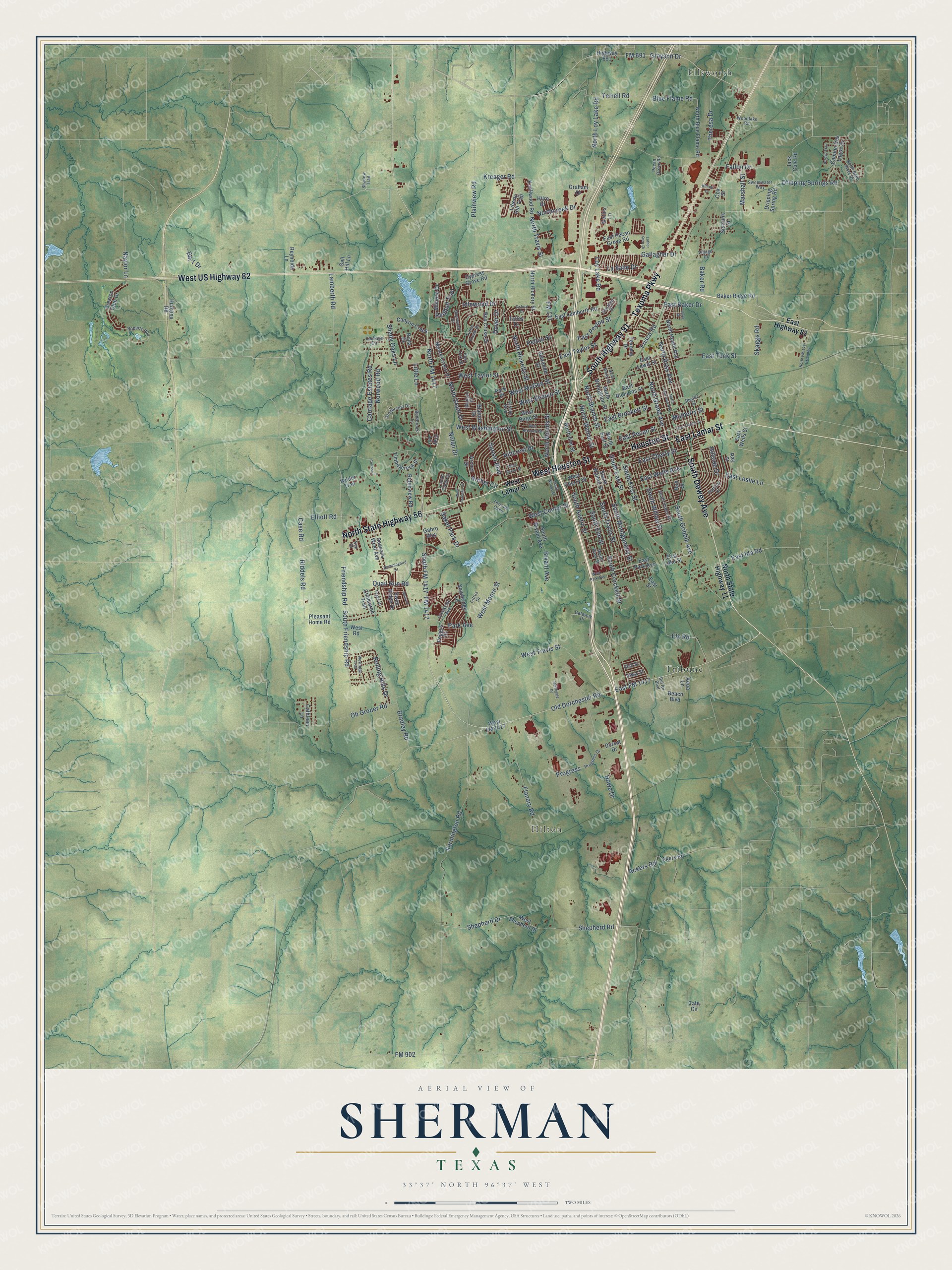
Street and place names on the Sherman, Texas map
These names are printed on the map of Sherman, Texas.
Places: Ellsworth, Hilton and Tribune.
Streets and roads: South Dewey Avenue, Texoma Parkway, North State Highway 56, West Houston Street, South Highway 91, East Lamar Street, Houston Street, West US Highway 82, FM 1417, North FM 1417, Old Dorchester Road, South FM 1417.
More street names, A to Z
Ackers Road, Akers Road, Alexander Street, Aqua Lane, Archer Circle, Archer Drive, Arroyo Trail, Baker Park Drive, Baker Ridge Road, Baker Road, Bar 7 Drive, Beach Boulevard, Bel Air Boulevard, Bentbrook Lane, Blanton Drive, Blanton Place, Blue Flame Road, Bradley Road, Bryant Avenue, Camino Dos Lagos Drive, Canyon Creek, Carriage Circle, Carriage Estates Road, Case Road, Cathleen Lane, Cimmaron Trail, Cinrose Lane, Citrus Drive, Clay Lane, Cox Street, Creekside Avenue, Cypress Grove Road, Dorset Drive, Dover Drive, Dripping Spring Road, Dripping Springs Road, Duke Drive, East Baker Drive, East Brockett Street, East Chaffin Street, East Cherry Street, East FM 1417, East Highway 82, East Ida Road, East Lake Street, East Lamberth Road, East Leslie Lane, East Lewis Street, East Park Avenue, East Pecan Grove Road, East Pecan Street, East Peyton Street, East Richards Street, East Street, East Taylor Street, East Tuck Street, East Wells Avenue, East Wells Street, Elk Road, Elliott Road, Fallon Drive, Farmington Road, Flanary Road, FM 131, FM 691, FM 902, Friendship Road, Frisco Road, Gabro Way, Gail Hill Lane, Gallagher Drive, Gateway Drive, Graham Drive, Grayson Drive, Highway 691, Hillcrest Drive, Hillside Drive, Hilltop Drive, Hilre Drive, Howe Drive, Hub Street, Hudgins Road, Hummingbird Drive, Idlewood Drive, Iowa Street, Jack Cole Road, Ken Drive, Kessler Boulevard, Knollwood Road, Kreager Road, Lamberth Road, La Salle Drive, Laurel Creek Drive, Liberty Hill Trail, Little Lane, Loy Lake Road, Luther Knox Drive, Mallard, Marshall Street, Mathis Lane, Mimosa Drive, Monte Cristo Drive, Mulberry Street, Naylor Lane, Nolan Drive, North Bello Vista Drive, North Blue Flame Road, North Branch Street, North Broughton Street, Northcreek Drive, North East Street, North Elm Street, North FM 1417 Extended, Northgate Drive, North Grand Avenue, North Grant Drive, North Harrison Avenue, North Hickory Street, North Hoard Avenue, North Loy Lake Road, North Maxey Street, North Ricketts Street, North Ross Avenue, North State Highway 11, North Travis Street, North Walnut Street, North Woods Street, Norwood Road, Ob Groner Road, Oxford Drive, Pacific Street, Park Avenue, Park Place, Patricia Drive, Pecan Grove Road, Peggys Cv, Pelton Street, Plainview Road, Pleasant Home Road, Post Oak Drive, Preston Club Drive, Progress, Progress Drive, Quail Run Road, Ray Street, Redbud Trail, Rex Cruse Drive, Reynolds Lane, Riata Drive, Riddels Road, Ridgeview Road, Roberts Run, Rolling Hills Drive, Seasons West Avenue, Shadow Trail, Shady Oaks Lane, Shepherd Drive, Shepherd Road, Sherwood Drive, Sistrunk Street, Skaggs Road, South Austin Street, South Bryant Avenue, South Crockett Street, South East Street, South Elm Street, South First Street, South Friendship Road, South Gribble Avenue, South Montgomery Street, Southridge Lane, South Rusk Street, South Travis Street, South Vaden Street, South Walnut Street, South Willow Street, South Woods Street, Starlight Drive, Stonecrest Drive, Sunset Boulevard, Swan Ridge Drive, Sweetwater Way, Talley Drive, Tate Circle, Tejas Drive, Terrace Oaks, Terrell Road, Texoma Drive, Theresa Drive, Timbercreek Street, Turtle Creek Drive, Utah Street, Village Drive, West Arapaho Street, West Belden Street, West Birge Street, West Brockett Street, West Center Street, West Cherry Street, West FM 1417, West Lamar Street, West McGee Street, West Moore Street, West Park Avenue, West Pecan Street, Westridge Trail, West Road, West Shepherd Drive, West Taylor Street, West Travis Street, West Washington Street, Wilder Trail, Woodlake Road.
See the Sherman, Texas map on a wall
The Sherman map as an 18 x 24 inch print in a black frame.

This beautifully detailed map of Sherman makes an attractive addition to your office, library, or den, and it can even be used to teach children the geography and history of the area. It also makes a great gift for anyone with Sherman roots. When you’re done exploring, click here to get your copy of the Sherman map.