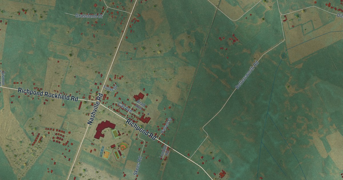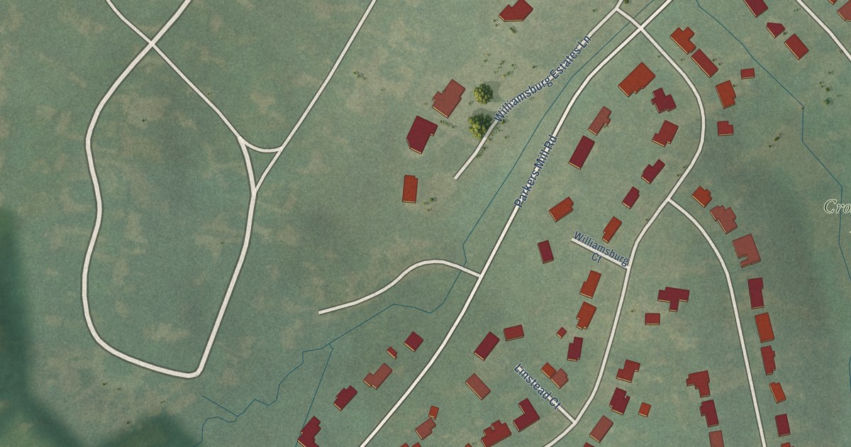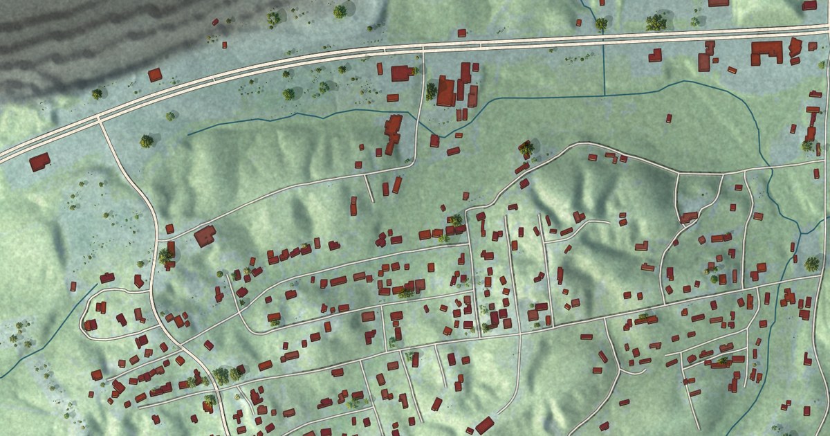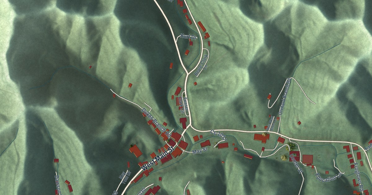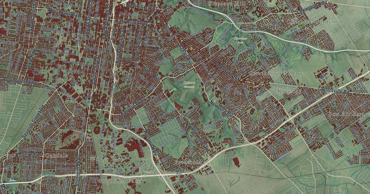
This beautifully detailed map of Louisville, Kentucky was created in 2026 using aerial imagery combined with modern topographical, census, street and landmark data. It’s a one-of-a-kind view of Louisville that combines accurate data with a vintage aesthetic. The map shows every building in its true location, many of the roads carry their names, and the shaded topographic relief shows the shape of the land.
Explore an aerial view of Louisville, Kentucky
On the map you’ll find Calvary Cemetery, Cherokee Park, Iroquois Park, Shawnee Park, Arctic Springs, Beechmont, Bon Air Estates, Cherokee Garden, Crescent Hill, Highland Park, Kingsley, Lincolnshire, and more. If you look closely you can even find your house accurately drawn in its correct location. Zoom in on the preview to look for yours.
Did you know this piece of Louisville, Kentucky history?
From the Kentucky Atlas and Gazetteer: "Louisville, the seat of Jefferson county, is located on the Ohio River at the Falls of the Ohio. It was founded in 1778 by George Rogers Clark."
Take a closer look at the Louisville map
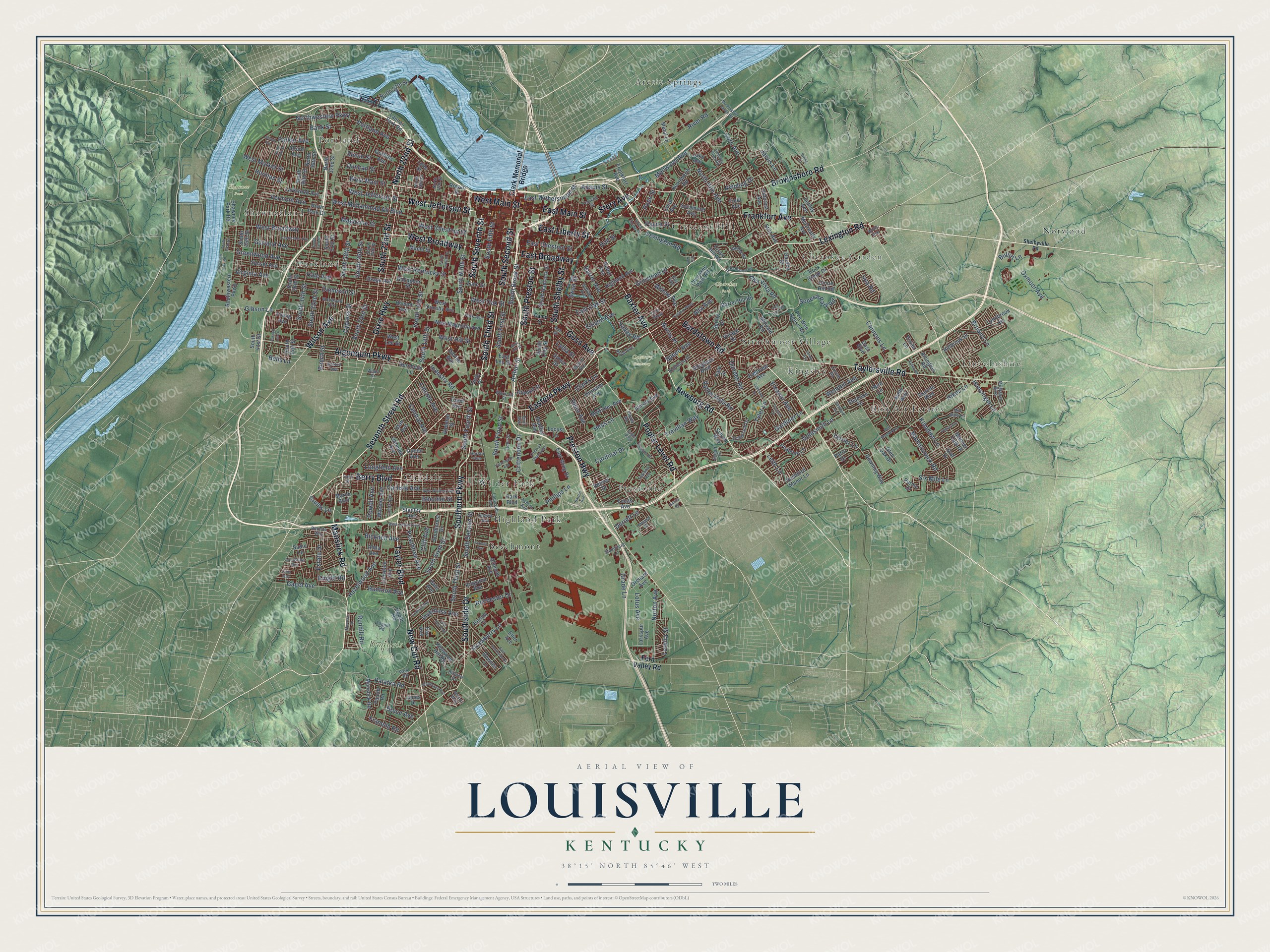
Street and place names on the Louisville, Kentucky map
These names are printed on the map of Louisville, Kentucky.
Places: Calvary Cemetery, Cherokee Park, Iroquois Park, Shawnee Park, Arctic Springs, Beechmont, Bon Air Estates, Cherokee Garden, Crescent Hill, Highland Park, Kingsley, Lincolnshire, Norwood, Oakdale, Parkland, Portland, Prestonia, Shawneeland, Strathmoor Village and Wilder Park.
Streets and roads: South Third Street, Frankfort Avenue, Taylor Boulevard, Newburg Road, South Seventh Street, South 22nd Street, South Second Street, Seventh Street Road, Manslick Road, Lexington Road, Southern Parkway, Baxter Avenue.
More street names, A to Z
Adams Street, Alford Avenue, Algonquin Parkway, Allmond Avenue, Allston Avenue, Alma Avenue, Alta Avenue, Alta Vista Road, Alvina Way, Arden Road, Arlington Road, Arthur Street, Ash Street, Ashton Avenue, Atwood Street, Bank Street, Bardstown Road, Barret Avenue, Barret Hill Road, Barton Avenue, Bashford Manor Lane, Beals Branch Road, Beecher Street, Beech Street, Bells Lane, Belmar Drive, Bernheim Lane, Berry Boulevard, Bicknell Avenue, Bradley Avenue, Brownsboro Road, Browns Lane, Bruce Avenue, Bullitt Lane, Camp Street, Cannons Lane, Cardinal Drive, Carlisle Avenue, Central Avenue, Cherokee Park Road, Chickasaw Park Road, Circle Hill Road, Circle of Champions, Clark Memorial Bridge, Clarks Lane, Cliff Avenue, Conn Street, Coral Avenue, Country Club Road, Creel Avenue, Crittenden Drive, Cross Hill Road, Crums Lane, Curran Road, Cypress Street, Dale Avenue, Davies Avenue, Dell Brooke Avenue, Delor Avenue, Dixie Highway, Doerhoefer Avenue, Douglass Boulevard, Downes Lane, Downing Way, Dumesnil Street, Duncan Street, Dundee Road, Durrett Lane, Eagle Pass, East Broadway, East Chestnut Street, Eastern Parkway, East Hill Street, East Lee Street, East Liberty Street, East Main Street, East Oak Street, East Southside Court, Eastview Avenue, East Wing Drive, East Witherspoon Street, Eiler Avenue, Eleanor Avenue, Ellison Avenue, Emil Avenue, Estate Drive, Etly Avenue, Farmington Avenue, Fay Avenue, Fenley Avenue, Fern Valley Road, Field Avenue, Fincastle Road, Francis Avenue, Franelm Road, Franklin Street, Gagel Avenue, Gallagher Street, Garden Drive, Gardiner Lane, Garland Avenue, Gast Boulevard, Gibson Lane, Glen Oak Drive, Goldsmith Lane, Goss Avenue, Grade Lane, Graf Drive, Greenwood Avenue, Griffiths Avenue, Grinstead Drive, Hale Avenue, Harlan Avenue, Hazelwood Avenue, Helm Street, Herb Lane, Herman Street, Hess Lane, Highland Avenue, Hikes Lane, Hillbrook Drive, Hillcrest Avenue, Hillview Drive, Howard Street, Hull Street, Hunsinger Lane, Huntoon Avenue, Illinois Avenue, Indiana Avenue, Industry Road, Inverness Avenue, Iola Road, Iroquois Avenue, Jarvis Lane, Jewell Avenue, Jones Drive, Kelly Way, Kenilworth Road, Kenjoy Drive, Kenwood Hill Road, Kingston Avenue, Klondike Lane, Knight Road, Lake Avenue, Lakeside Drive, Landor Avenue, Lannan Park Road, Larkspur Avenue, Larkwood Avenue, Leith Lane, Lentz Avenue, Lincoln Avenue, Linda Way, Locust Lane, Lone Oak Trail, Longfield Avenue, Lonsdale Avenue, Loretta Street, Lotus Avenue, Lou Gene Avenue, Louisville Avenue, Lucas Avenue, Lydia Street, Lynnbrook Drive, Lytle Street, Magazine Street, Mamaroneck Road, Manner Dale Drive, Maple Street, March Boulevard, McCready Avenue, McKinley Avenue, McMahan Boulevard, Mellwood Avenue, Metal Lane, Mid Dale Lane, Millvale Road, Mockingbird Valley Road, Morocco Drive, New Cut Road, Norris Place, North 15th Street, North 18th Street, North 22nd Street, North 27th Street, North 32nd Street, North 36th Street, North 43rd Street, North Hite Avenue, Northwestern Parkway, Norton Avenue, Oleanda Avenue, Orchard Avenue, Osage Avenue, Ottawa Avenue, Oxmoor Avenue, Paiute Road, Palatka Road, Paris Drive, Park Avenue, Park Boulevard, Parker Avenue, Park Road, Payne Street, Peabody Lane, Peachtree Avenue, Pee Wee Reese Road, Perma Drive, Phillips Lane, Plover Road, Pope Street, Poplar Level Road, Portland Avenue, Powell Avenue, Preston Highway, Queen Avenue, Ray Avenue, Reasor Avenue, Red Fox Road, Rhonda Way, Richmond Drive, Riedling Drive, River Park Drive, River Road, Rochester Drive, Rock Creek Drive, Rodman Street, Rowan Street, Royal Avenue, Rubel Avenue, Rundill Road, Russell Lee Drive, Sadie Lane, Sanita Road, Schiller Avenue, Schuff Lane, Seneca Park Road, Shannon Drive, Shawnee Park Road, Shelbyville Road, Six Mile Lane, Slevin Street, South 13th Street, South 15th Street, South 23rd Street, South 24th Street, South 26th Street, South 28th Street, South 31st Street, South 32nd Street, South 33rd Street, South 34th Street, South 35th Street, South 36th Street, South 38th Street, South 41st Street, South 45th Street, South 47th Street, South Brook Street, South Clay Street, Southcrest Drive, South Fifth Street, South First Street, South Floyd Street, South Fourth Street, South Hancock Street, South Ninth Street, South Preston Street, South Shelby Street, Southside Drive, South Sixth Street, South Spring Street, South Twelfth Street, Southwestern Parkway, Speed Avenue, Spring Drive, Standiford Lane, Stanley Avenue, Stanton Boulevard, Stilz Avenue, Story Avenue, Stratford Avenue, Strawberry Lane, Sunset Avenue, Sutherland Drive, Swan Street, Swing Lane, Sycamore Avenue, Sylvan Way, Sylvia Street, Taylorsville Road, Terrier Lane, Thruston Avenue, Toppill Road, Tremont Drive, Trevilian Way, Tyler Lane, Tyler Parkway, Unity Place, Upland Road, Uppill Road, Utah Avenue, Valley Road, Valley Vista Road, Vermont Avenue, Village Drive, Virginia Avenue, Vivian Lane, Vogue Avenue, Warnock Street, Wendell Avenue, West Ashland Avenue, West Broadway, West Chestnut Street, West Hill Street, West Jefferson Street, West Kentucky Street, West Lee Street, West Magnolia Avenue, West Main Street, West Market Street, West Muhammad Ali Boulevard, West Oak Street, West Ormsby Avenue, West Whitney Avenue, Wheeler Avenue, Wilart Drive, Willis Avenue, Willow Avenue, Wilson Avenue, Woodland Avenue, Woodmore Avenue, Yale Drive, Young Avenue, Zane Street, Zorn Avenue.
See the Louisville, Kentucky map on a wall
The Louisville map as an 18 x 24 inch print in a black frame.

This beautifully detailed map of Louisville makes an attractive addition to your office, library, or den, and it can even be used to teach children the geography and history of the area. It also makes a great gift for anyone with Louisville roots. When you’re done exploring, click here to get your copy of the Louisville map.