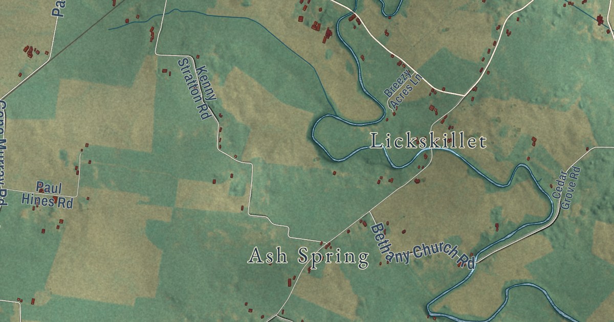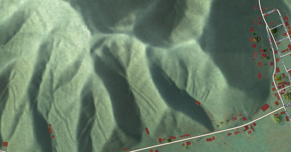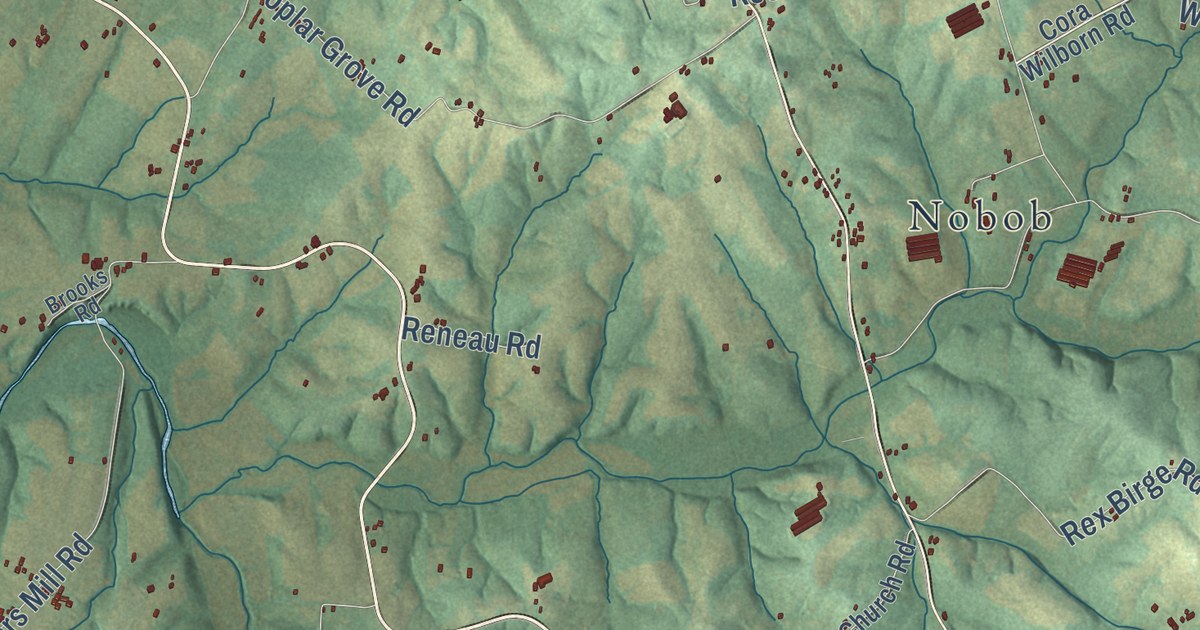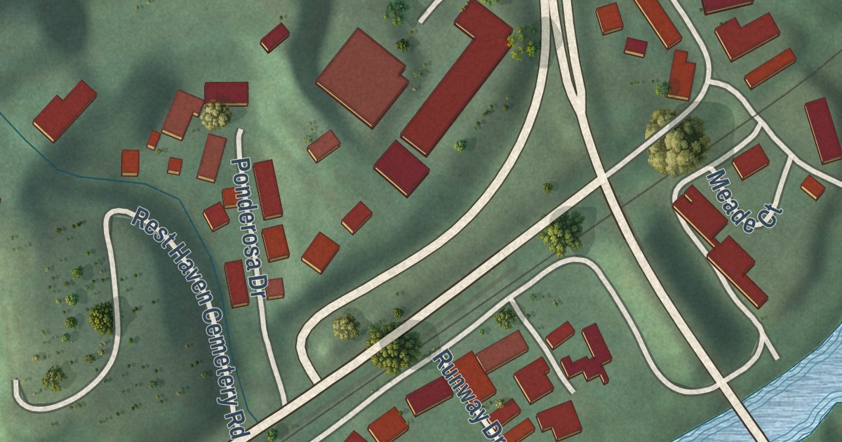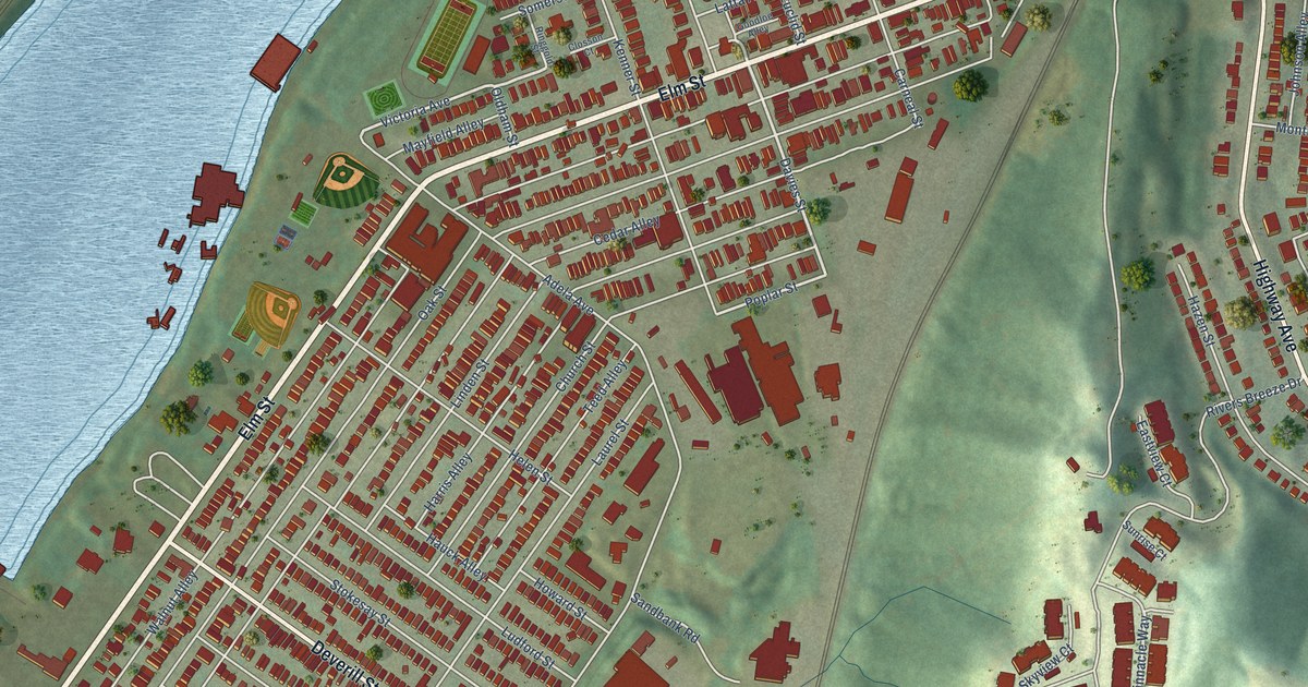
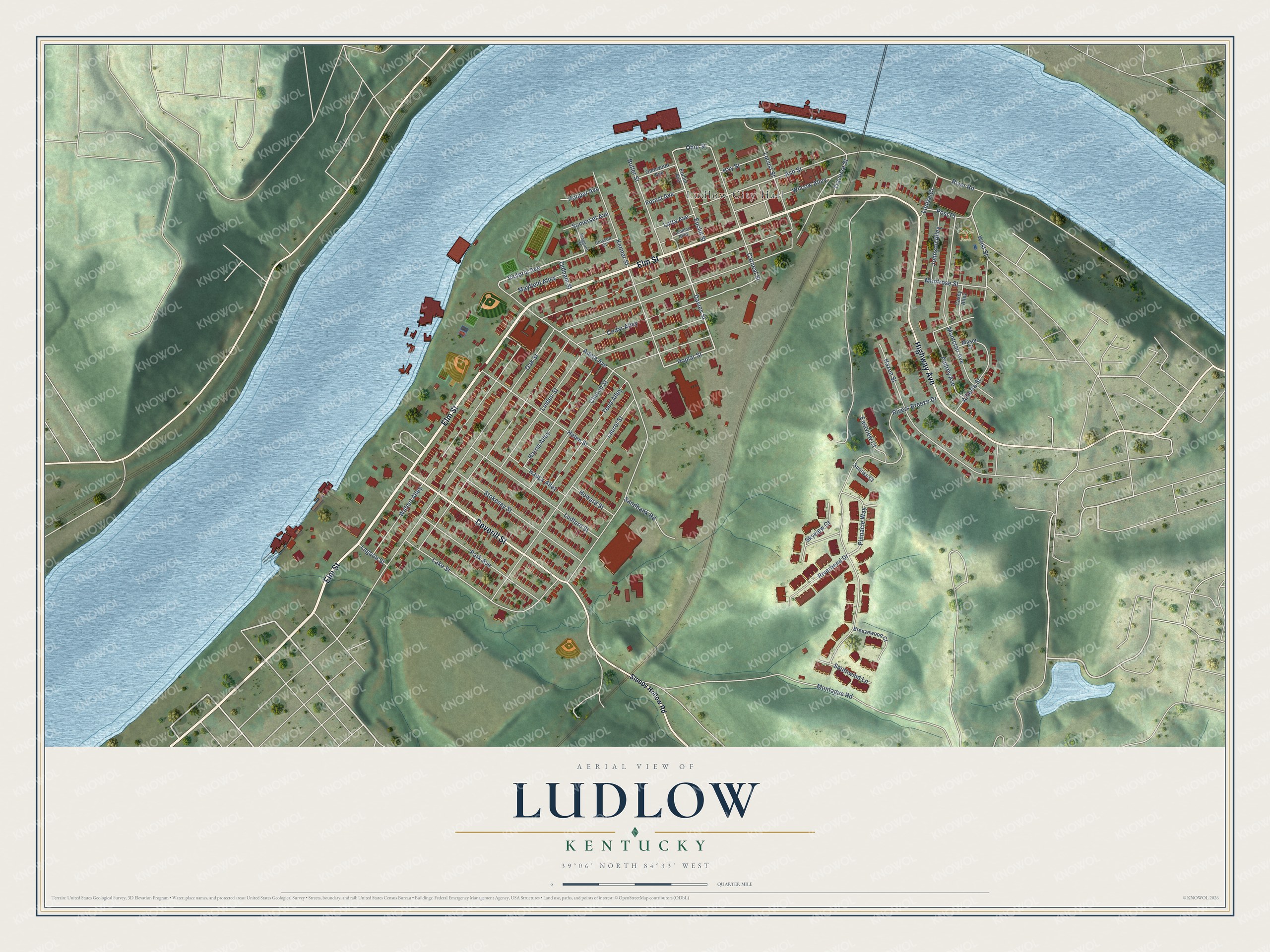
This beautifully detailed map of Ludlow, Kentucky was created in 2026 using aerial imagery combined with modern topographical, census, street and landmark data. It’s a one-of-a-kind view of Ludlow that combines accurate data with a vintage aesthetic. The map shows every building in its true location, many of the roads carry their names, and the shaded topographic relief shows the shape of the land.
Explore an aerial view of Ludlow, Kentucky
On the map you’ll find Ludlow City Hall and Caple Park, along with Elm Street, Highway Avenue, Deverill Street, Pinnacle Way, Davies Street, Victoria Avenue, Poplar Street, Ohio Street, Ash Street, Oak Street, and more. If you look closely you can even find your house accurately drawn in its correct location. Zoom in on the preview to look for yours.
Did you know this piece of Ludlow, Kentucky history?
From the Kentucky A Guide to the Bluegrass State: "Ludlow had a few settlers in the 1790's, but was not chartered as a village until 1864."
Take a closer look at the Ludlow map
Street and place names on the Ludlow, Kentucky map
These names are printed on the map of Ludlow, Kentucky.
Places: Ludlow City Hall and Caple Park.
Streets and roads: Elm Street, Highway Avenue, Deverill Street, Pinnacle Way, Davies Street, Victoria Avenue, Poplar Street, Ohio Street, Ash Street, Oak Street, Walnut Alley, Cedar Alley.
More street names, A to Z
Adela Avenue, Alberta Street, Audrey Avenue, Breezewood Court, Butler Street, Carneal Street, Casey Alley, Church Street, Closson Court, Eastview Court, Euclid Avenue, Euclid Street, Forest Avenue, Glenwood Avenue, Goodloe Alley, Harris Alley, Hauck Alley, Hay Street, Hazen Street, Helen Street, Hooper Avenue, Howard Street, Johnson Alley, Kenner Street, Lagoon Street, Lake Street, Latta Avenue, Laurel Street, Linden Street, Locust Street, Louise Court, Ludford Street, Mason Court, Mayfield Alley, Montague Road, Montclair Avenue, Montrose Street, Oldham Street, Park Avenue, Post Place, Ringgold Street, Riverbend Drive, River Road, Rivers Breeze Drive, Sandbank Road, Skyview Court, Sleepy Hollow Road, Somerset Avenue, Southwind Lane, Stokesay Street, Sunrise Court, Teed Alley, Traverse Street, West Street, Wilcow Alley.
See the Ludlow, Kentucky map on a wall
The Ludlow map as an 18 x 24 inch print in a black frame.

This beautifully detailed map of Ludlow makes an attractive addition to your office, library, or den, and it can even be used to teach children the geography and history of the area. It also makes a great gift for someone who left Ludlow and still calls it home. When you’re done exploring, click here to get your copy of the Ludlow map.