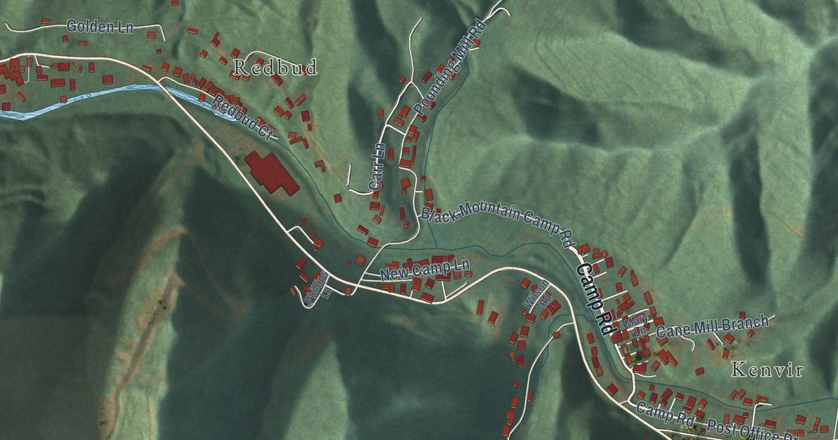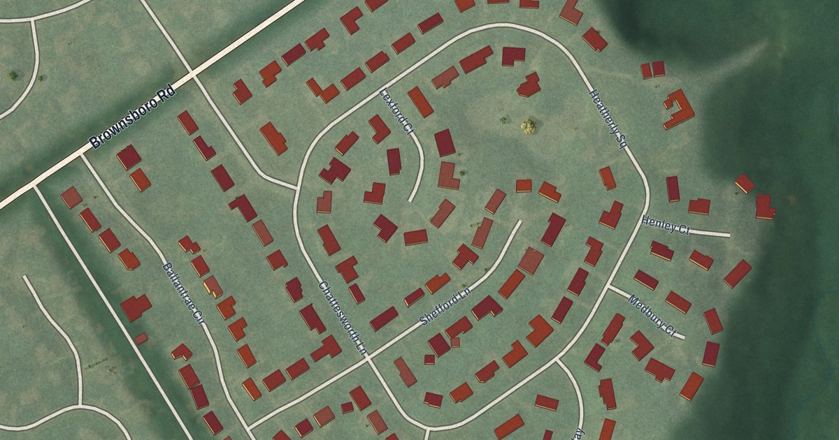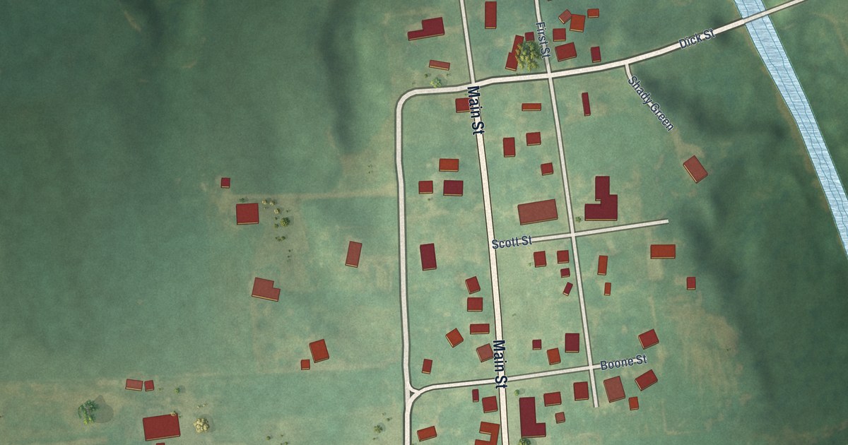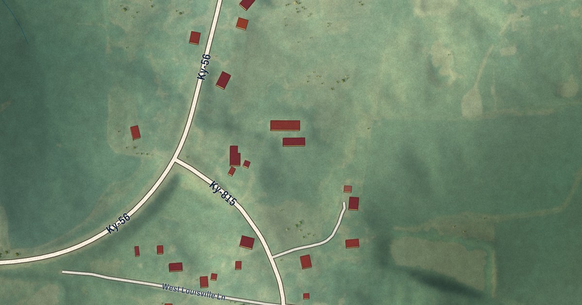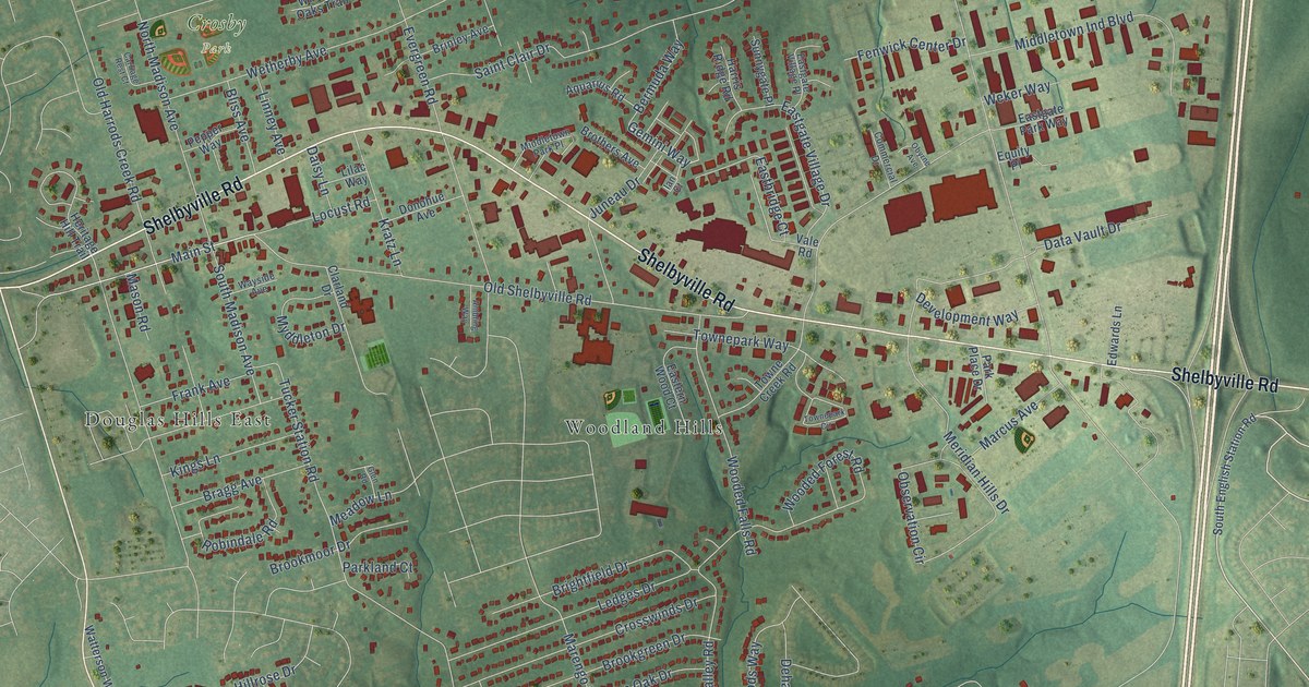
This beautifully detailed map of Middletown, Kentucky was created in 2026 using aerial imagery combined with modern topographical, census, street and landmark data. It’s a one-of-a-kind view of Middletown that combines accurate data with a vintage aesthetic. The map shows every building in its true location, many of the roads carry their names, and the shaded topographic relief shows the shape of the land.
Explore an aerial view of Middletown, Kentucky
On the map you’ll find Crosby Park, Douglas Hills East, and Woodland Hills, along with Shelbyville Road, Blankenbaker Parkway, Main Street, Gemini Way, Urton Lane, North Pope Lick Road, Tucker Station Road, Watterson Trail, North English Station Road, and more. If you look closely you can even find your house accurately drawn in its correct location. Zoom in on the preview to look for yours.
Did you know this piece of Middletown, Kentucky history?
From the Kentucky Atlas and Gazetteer: "Middletown is an eastern Jefferson county town and suburb of Louisville. The town was laid out in 1797 and was probably named for its location between Louisville and Shelbyville."
Take a closer look at the Middletown map
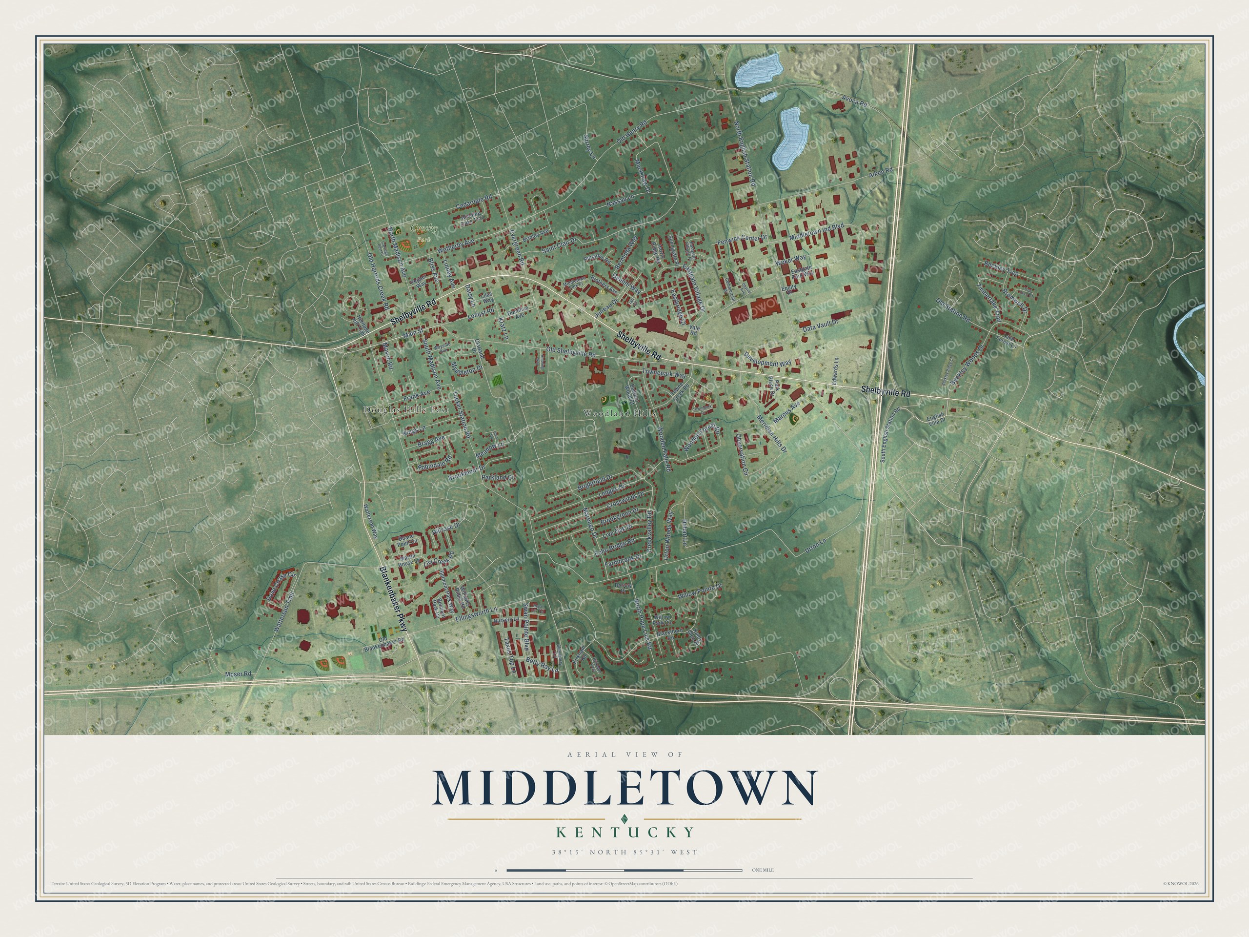
Street and place names on the Middletown, Kentucky map
These names are printed on the map of Middletown, Kentucky.
Places: Crosby Park, Douglas Hills East and Woodland Hills.
Streets and roads: Shelbyville Road, Blankenbaker Parkway, Main Street, Gemini Way, Urton Lane, North Pope Lick Road, Tucker Station Road, Watterson Trail, North English Station Road, Aiken Road, Saint Clair Drive, Old Henry Road.
More street names, A to Z
Ambling Way, Aquarius Road, Avoca Road, Beckley Ridge Lane, Beckley Trce, Beckley Woods Drive, Belmont Park Circle, Belmont Park Way, Bermuda Way, Bernay Place, Betty Ray Lane, Blackthorn Road, Bliss Avenue, Bragg Avenue, Brightfield Drive, Brinley Avenue, Bromwell Drive, Brookgreen Drive, Brookmoor Drive, Brothers Avenue, Carriage Rest Court, Cedardale Road, Clarland Drive, Commercial Drive, Creekvalley Road, Crosswinds Drive, Daisy Lane, Data Vault Drive, Dehart Lane, Development Way, Donohue Avenue, Dove Chase Circle, Duane Point Circle, Eastbridge Court, Eastern Wood Court, Eastgate Park Way, Eastgate Village Drive, Eastgate Village Place, Echo Bridge Road, Edwards Lane, Elderberry Lane, Ellingsworth Lane, English Villa Drive, Equity Place, Evergreen Road, Farmbrook Drive, Fenwick Center Drive, Frank Avenue, Glen Road, Harris Ridge Road, Heritage Hill Trail, Hillrose Drive, Ian Court, Juneau Drive, Kaely Glen Place, Kings Lane, Kirkham Road, Kirkham Trce, Kratz Lane, Lake Forest Lane, Ledges Drive, Lilac Way, Lily Creek Road, Linney Avenue, Live Oak Drive, Locust Road, Mackinaw Drive, Marcus Avenue, Marengo Drive, Martin House Lane, Mason Road, Meadow Lane, Meridian Hills Drive, Middletown Ind Boulevard, Middletown Park Place, Moser Road, Myddleton Drive, Nassau Lane, North Madison Avenue, Nursery Lane, Observation Circle, Obyrne Avenue, Old Blankenbaker Road, Old Harrods Creek Road, Old Shelbyville Road, Old Station Road, Parkland Court, Park Place Drive, Pepper Way, Regal Lily Terrace, Robindale Road, South English Station Road, South Madison Avenue, Sunnygate Place, Surrey Lane, Swan Pointe Boulevard, Taxus Top Lane, Timberlake Trail, Towne Creek Road, Townepark Circle, Townepark Way, Tree Crest Court, Urton Woods Way, Vale Road, Watterson Way, Wayside Avenue, Weker Way, Wetherby Avenue, Williams Ridge Road, Willow Park Circle, Willow Pointe Drive, Winding Oaks Trail, Wooded Falls Road, Wooded Forest Road.
See the Middletown, Kentucky map on a wall
The Middletown map as an 18 x 24 inch print in a black frame.

This beautifully detailed map of Middletown makes an attractive addition to your office, library, or den, and it can even be used to teach children the geography and history of the area. It also makes a great gift for someone who left Middletown and still calls it home. When you’re done exploring, click here to get your copy of the Middletown map.