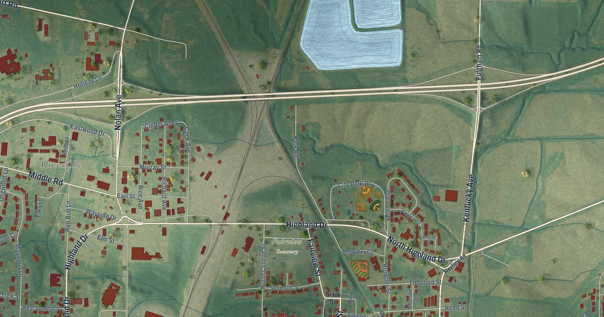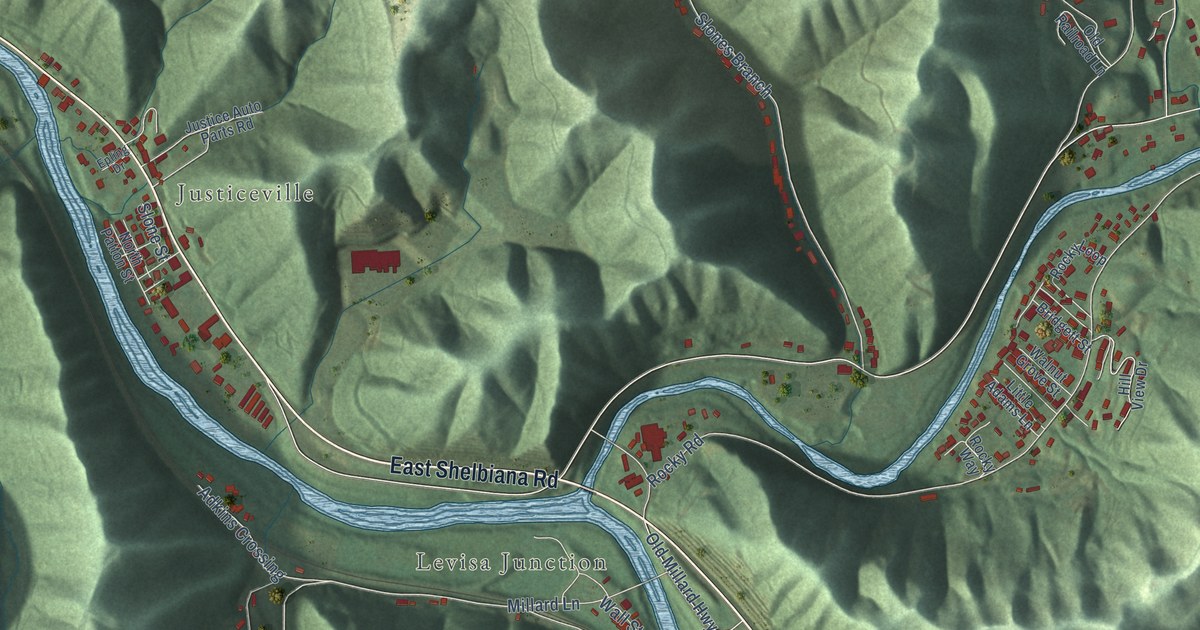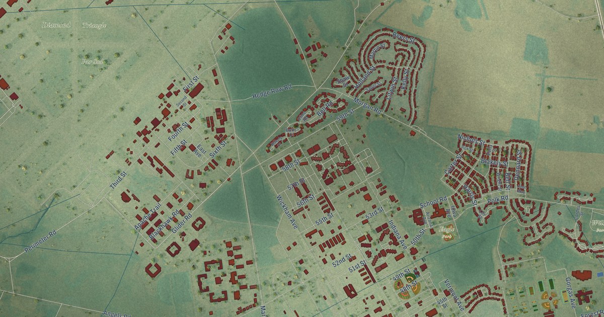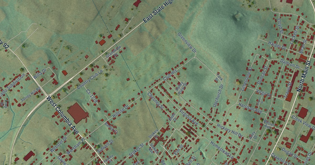
This beautifully detailed map of Monticello, Kentucky was created in 2026 using aerial imagery combined with modern topographical, census, street and landmark data. It’s a one-of-a-kind view of Monticello that combines accurate data with a vintage aesthetic. The map shows every building in its true location, many of the roads carry their names, and the shaded topographic relief shows the shape of the land.
Explore an aerial view of Monticello, Kentucky
On the map you’ll find Monticello Town Hall and Ky 167, along with West State Highway 90 Bypass, North Main Street, West Columbia Avenue, South Main Street, Albany Road, Michigan Avenue, East State Highway 90, West State Highway 92, Old Highway 90, Castle Street, and more. If you look closely you can even find your house accurately drawn in its correct location. Zoom in on the preview to look for yours.
Did you know this piece of Monticello, Kentucky history?
From the Kentucky Atlas and Gazetteer: "Monticello was established when the county was formed in 1800 and named for the home of Thomas Jefferson."
Take a closer look at the Monticello map
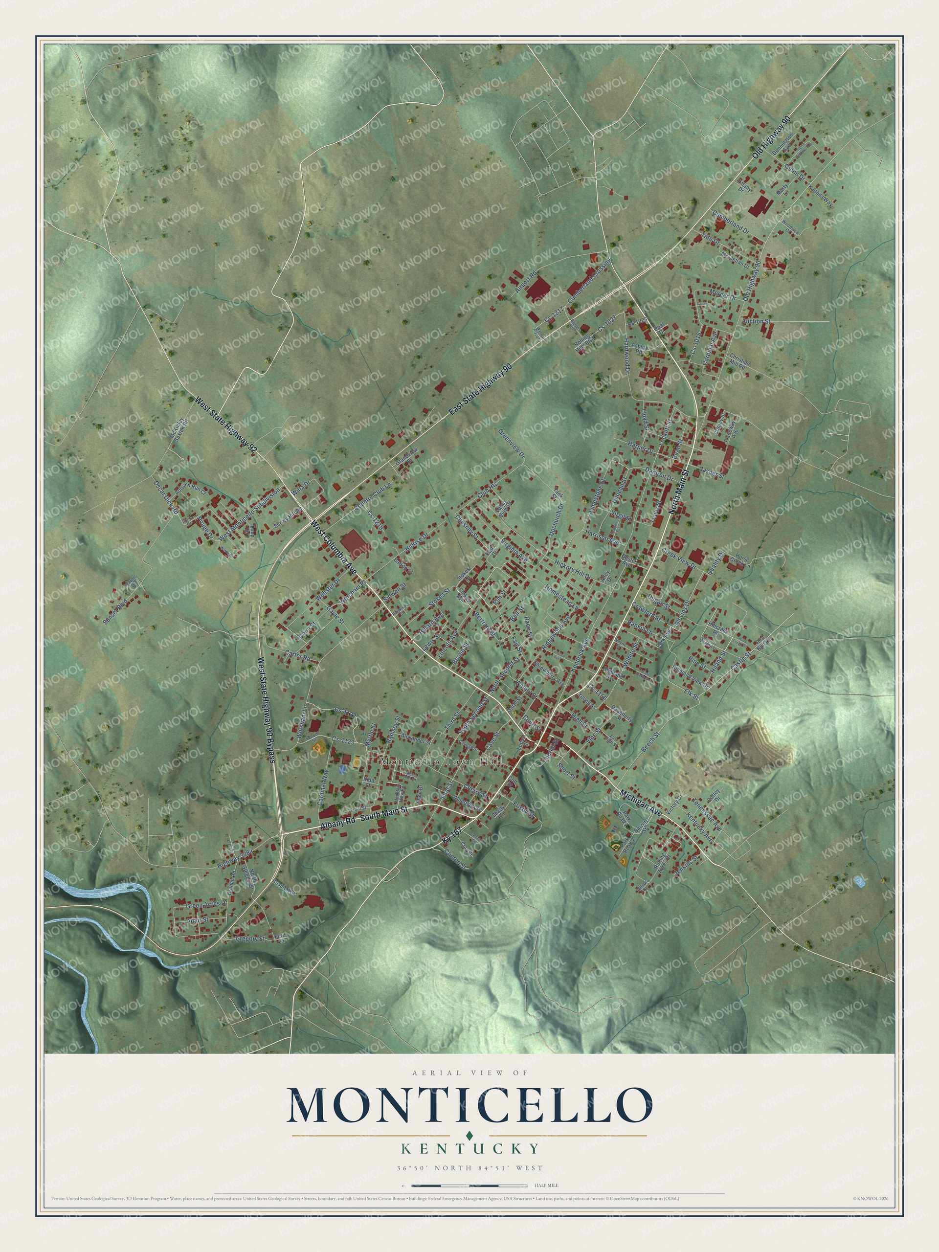
Street and place names on the Monticello, Kentucky map
These names are printed on the map of Monticello, Kentucky.
Places: Monticello Town Hall.
Streets and roads: West State Highway 90 Bypass, North Main Street, West Columbia Avenue, South Main Street, Albany Road, Michigan Avenue, East State Highway 90, West State Highway 92, Old Highway 90, Ky 167, Castle Street, Fair Street.
More street names, A to Z
Adair Street, Airport Road, Albertson Street, Alexander Street, Allen Drive, Alley Drive, Asbury Road, Auction Street, Autumn Run Court, Barnes Drive, Barrett Street, Barton Court, Bean Street, Beech Street, Bell Street, Bertram Street, Bess Ann Court, Blevins Drive, Boone Street, Branch Road, Buster Avenue, Canary Lane, Cardinal Avenue, Cardinal Way, Carter Road, Cave Street, Center Street, Cherry Street, Chesney Street, Christian Mill Road, Church Street, Clay Street, Clinton Street, Club Heights, Coffey Drive, College Street, Colt Street, Conley Street, Conn Street, Country Club Lane, Country Meadow Lane, Court Street, Crawford Street, Creek View Drive, Cs-1016, Cs-1025, Cs-1027, Cs-1122, Cs-1123, Cs-1156, Cs-1217, Cs-1219, Cumberland Crossing, Cumberland Drive, Damron Drive, Daugherty Street, Dugan Street, Duncan Street, Dunnington Avenue, Eads Drive, East Evelyn Avenue, East High Street, Elk Street, Elm Street, Fairview Avenue, Fern Lane, First Street, Frisby Street, Front Street, Garth Street, Gayle Street, Grandview Drive, Green Acres Drive, Greenview Drive, Gregory Street, Guinn Drive, Hardwood Drive, Harper Drive, Harrison Avenue, Hickory Hill Drive, Highland Avenue, Highland View Drive, High Street, Highway 3284, Hiland Street, Hillard Avenue, Hill Creek Drive, Hillcreek Road, Hillrise Drive, Homestead Lane, Horse Creek Lane, Hospital Street, Jasper Street, Jenkins Street, Kaitlins Way, Kendrick Avenue, Kentucky Avenue, Kidd Street, Lewis Street, Limestone Street, Lincoln Avenue, Lloyd Street, Lockett Street, Locust Street, Loop Drive, Marty Lane, McClellan Drive, McKinley Sexton Road, Mercer Drive, Mountain View Road, Myrtle Street, North Colonial Avenue, North Gregory Street, North Second Street, Opal Drive, Oscar Dick Road, Park Avenue, Parker Street, Park Road 1, Park Road 2, Parmley Street, Pine Street, Pouge Drive, Quality Drive, Race Street, Ramsey Street, Rankin Lane, Red Bud Lane, Ridgewood Avenue, Rolling Acres Drive, Rolling Hills Boulevard, School Street, Shady Lane, Shady Oak Lane, Short Street, Shrewberry Avenue, Sidwell Street, Sloan Drive, South Second Street, Stokes Avenue, Stokes Court, Stokes Street, Sunset Boulevard, Surrey Hill Road, Tank Street, Tate Drive, Tennessee Avenue, Third Street, Tiffany Drive, Tradeway Avenue, Travis Street, Upchurch Drive, Valley View Drive, Victory Drive, Vine Street, Virgil Street, Virginia Avenue, Walmart Plaza Drive, Walnut Street, Wayne Drive, Wayne Street, Webster Drive, West Monticello Subdivision, Wilhite Street, Willa Drive, Wilson Court, Winna Drive, Woodview Drive, Worsham Lane, Worsham Place, Young Street.
See the Monticello, Kentucky map on a wall
The Monticello map as an 18 x 24 inch print in a black frame.

This beautifully detailed map of Monticello makes an attractive addition to your office, library, or den, and it can even be used to teach children the geography and history of the area. It also makes a great gift for someone who left Monticello and still calls it home. When you’re done exploring, click here to get your copy of the Monticello map.