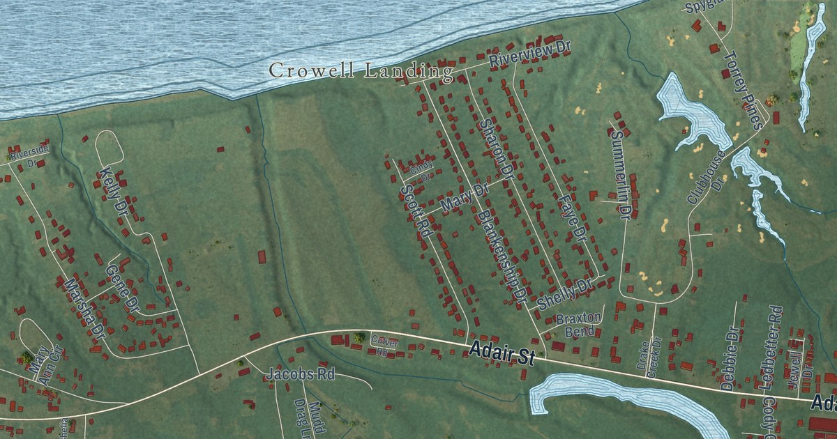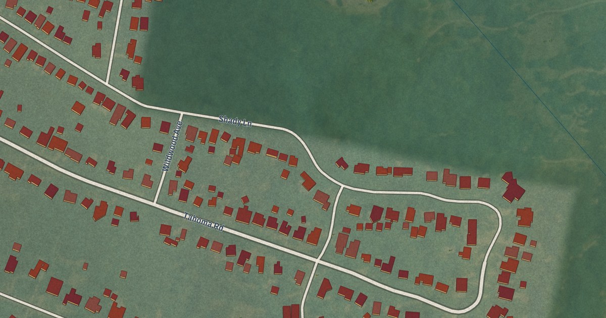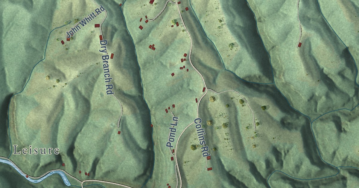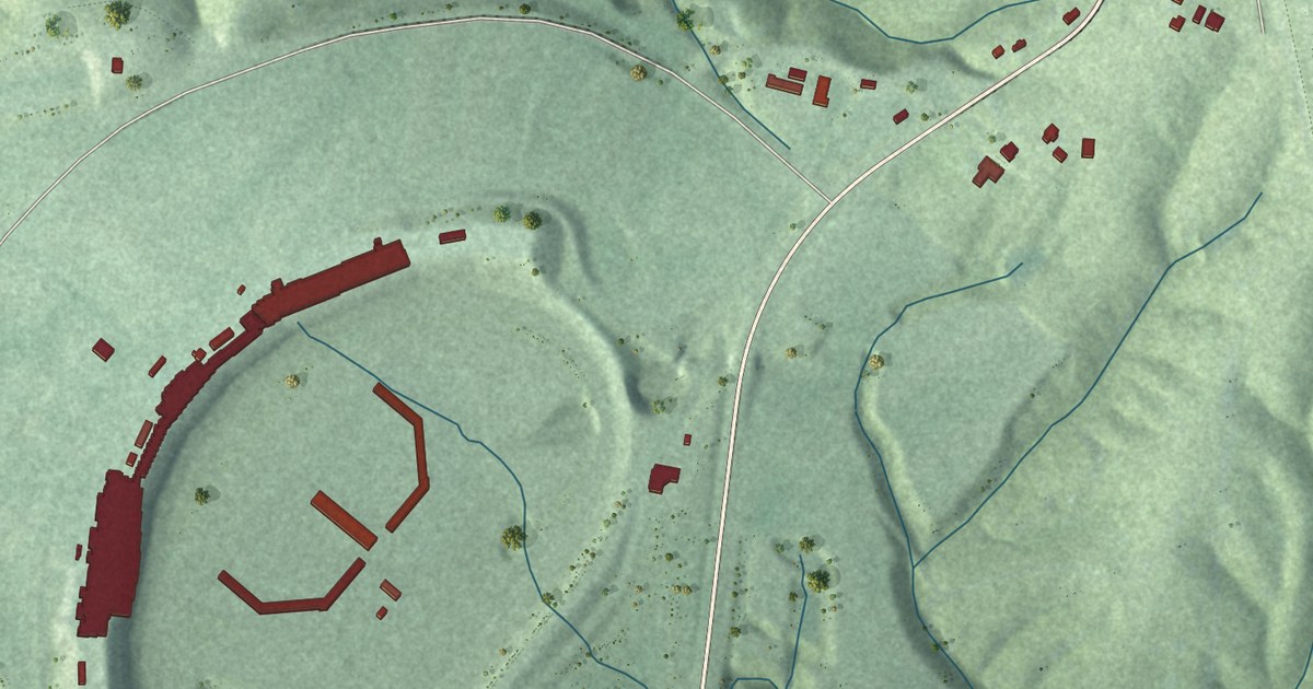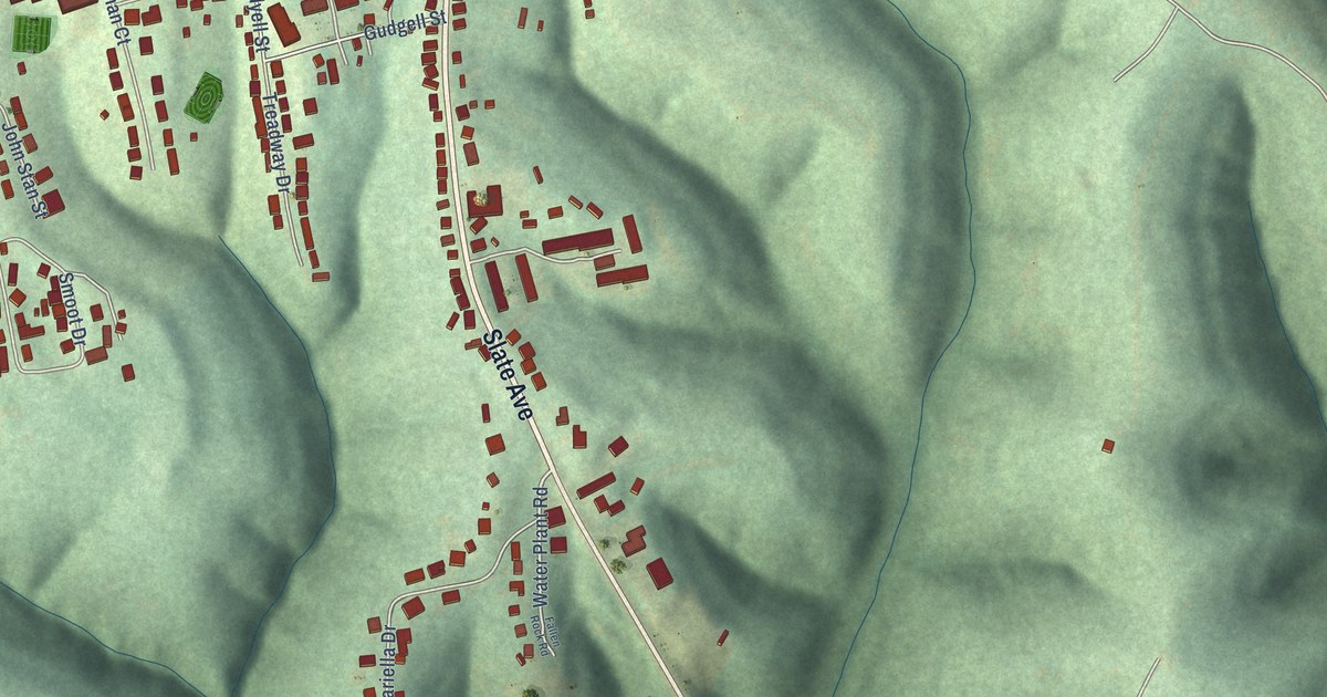
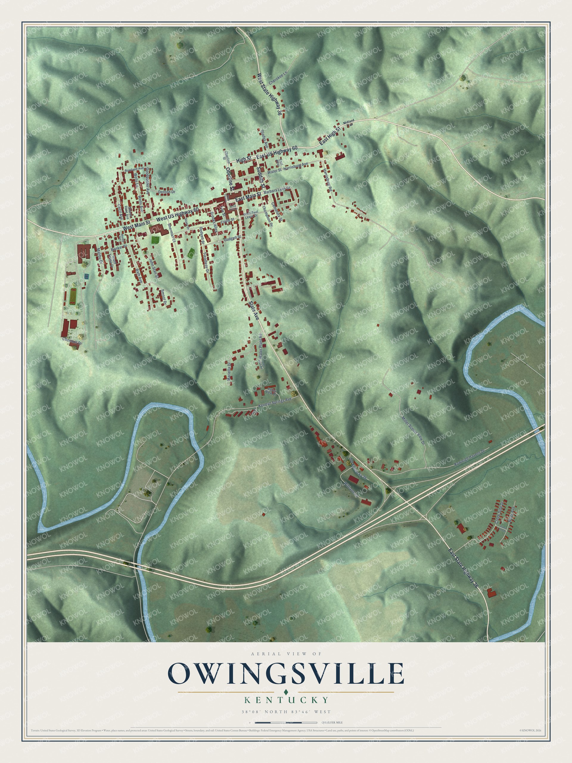
This beautifully detailed map of Owingsville, Kentucky was created in 2026 using aerial imagery combined with modern topographical, census, street and landmark data. It’s a one-of-a-kind view of Owingsville that combines accurate data with a vintage aesthetic. The map shows every building in its true location, many of the roads carry their names, and the shaded topographic relief shows the shape of the land.
Explore an aerial view of Owingsville, Kentucky
On the map you’ll find Suddith Street, East Main Street, High Street, Oberline Street, Slate Avenue, East US Highway 60, East High Street, West Main Street, West US Highway 60, East State Highway 36, West State Highway 36, Barbara Lynn Drive, and more. If you look closely you can even find your house accurately drawn in its correct location. Zoom in on the preview to look for yours.
Did you know this piece of Owingsville, Kentucky history?
From the Kentucky Atlas and Gazetteer: "Owingsville, the seat of Bath county, is located near the middle of the county near Slate Creek. It was established in 1811 and named for Thomas Dye Owings, manager of the nearby Slate Creek Iron Furnace, who donated part of the land for the town."
Take a closer look at the Owingsville map
Street names on the Owingsville, Kentucky map
These names are printed on the map of Owingsville, Kentucky.
Streets and roads: Suddith Street, East Main Street, High Street, Oberline Street, Slate Avenue, East US Highway 60, East High Street, West Main Street, West US Highway 60, East State Highway 36, West State Highway 36, Barbara Lynn Drive.
More street names, A to Z
Banker Street, Bath Avenue, Brooks Alley, Cecil Avenue, Cemetery Street, Chenault Drive, Cherokee Lane, Coyle Street, Creek Side Drive, Denton Drive, East Alley, Fallen Rock Road, Gladys Avenue, Goodpaster Avenue, Green Tree Drive, Gudgell Street, Gudyell Street, Harrisburg Avenue, Harrisburg Road, John Stan Street, Kendall Springs Avenue, Lee Street, Malibu Drive, Mandy Avenue, Mariella Drive, Maze Avenue, Midland Trail, Miller Scenic View Drive, North Court Street, Old Kentucky 36, Rawleigh Havens Drive, Rowland Avenue, Sharon Rose Avenue, Sherman Court, Smoot Drive, South Court Street, South Teresa Drive, Stacy Drive, Swartz Drive, Thompson Drive, Treadway Drive, Valley View Drive, Water Plant Road, Water Street, Wells Avenue, Wells Lane, West Paul Lewis Drive, Williams Lane.
See the Owingsville, Kentucky map on a wall
The Owingsville map as an 18 x 24 inch print in a black frame.

This beautifully detailed map of Owingsville makes an attractive addition to your office, library, or den, and it can even be used to teach children the geography and history of the area. It also makes a great gift for someone who left Owingsville and still calls it home. When you’re done exploring, click here to get your copy of the Owingsville map.