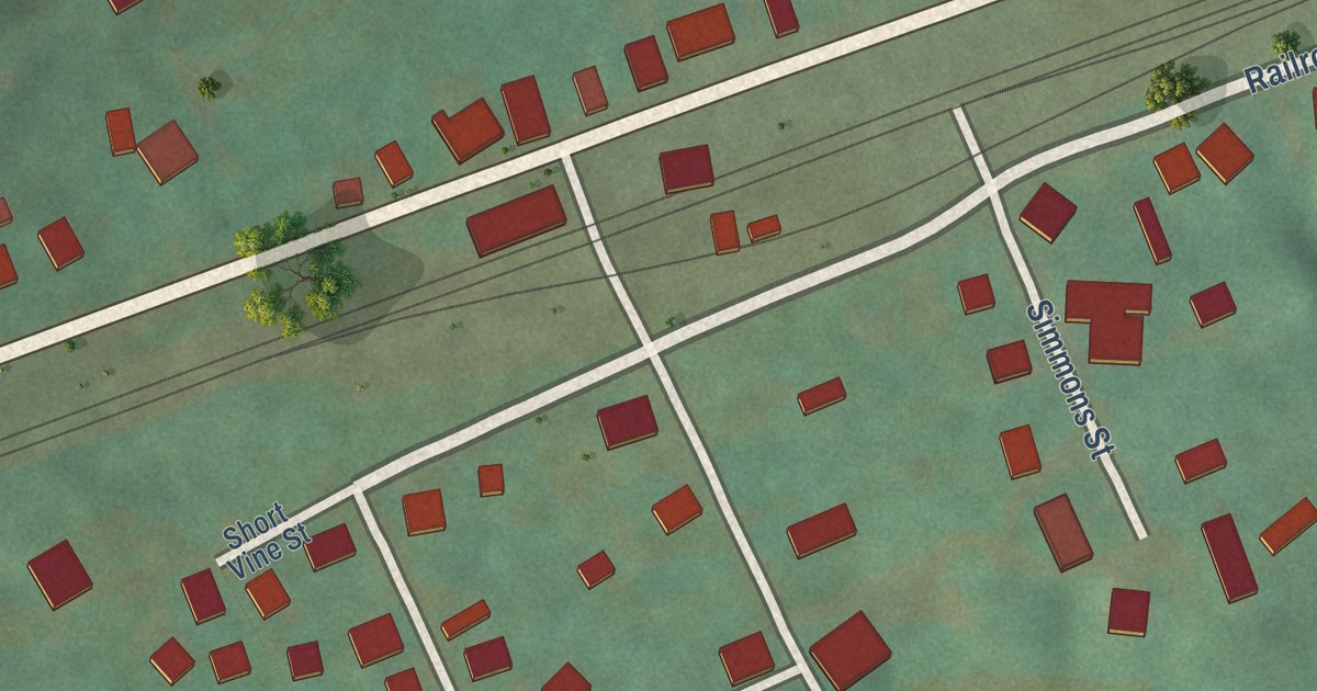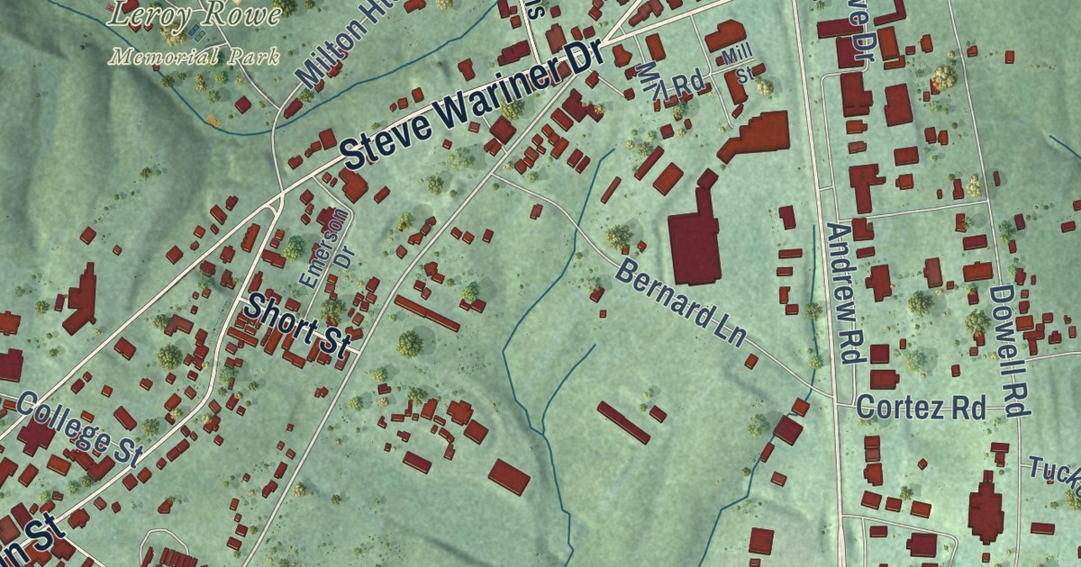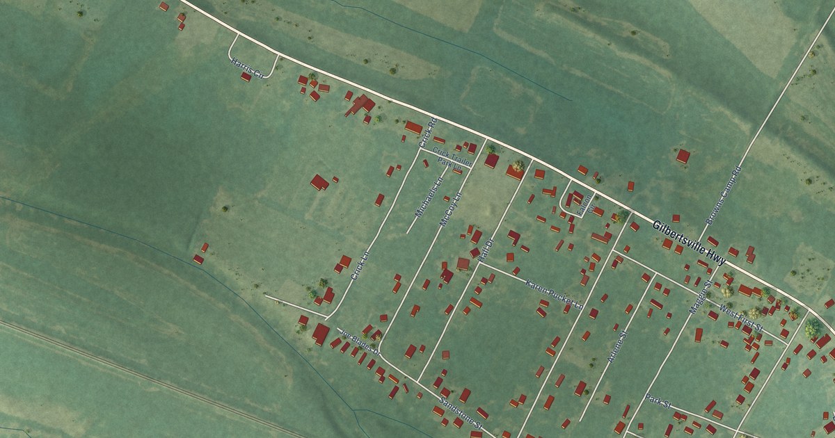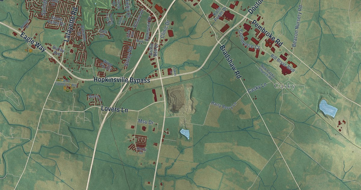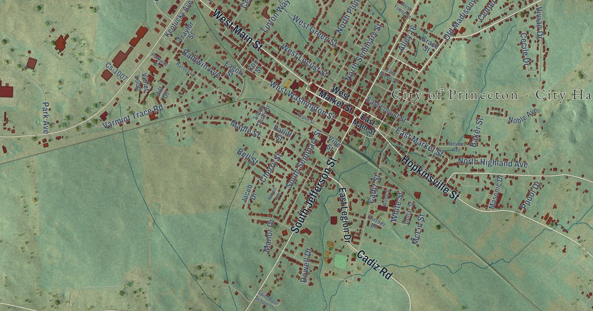
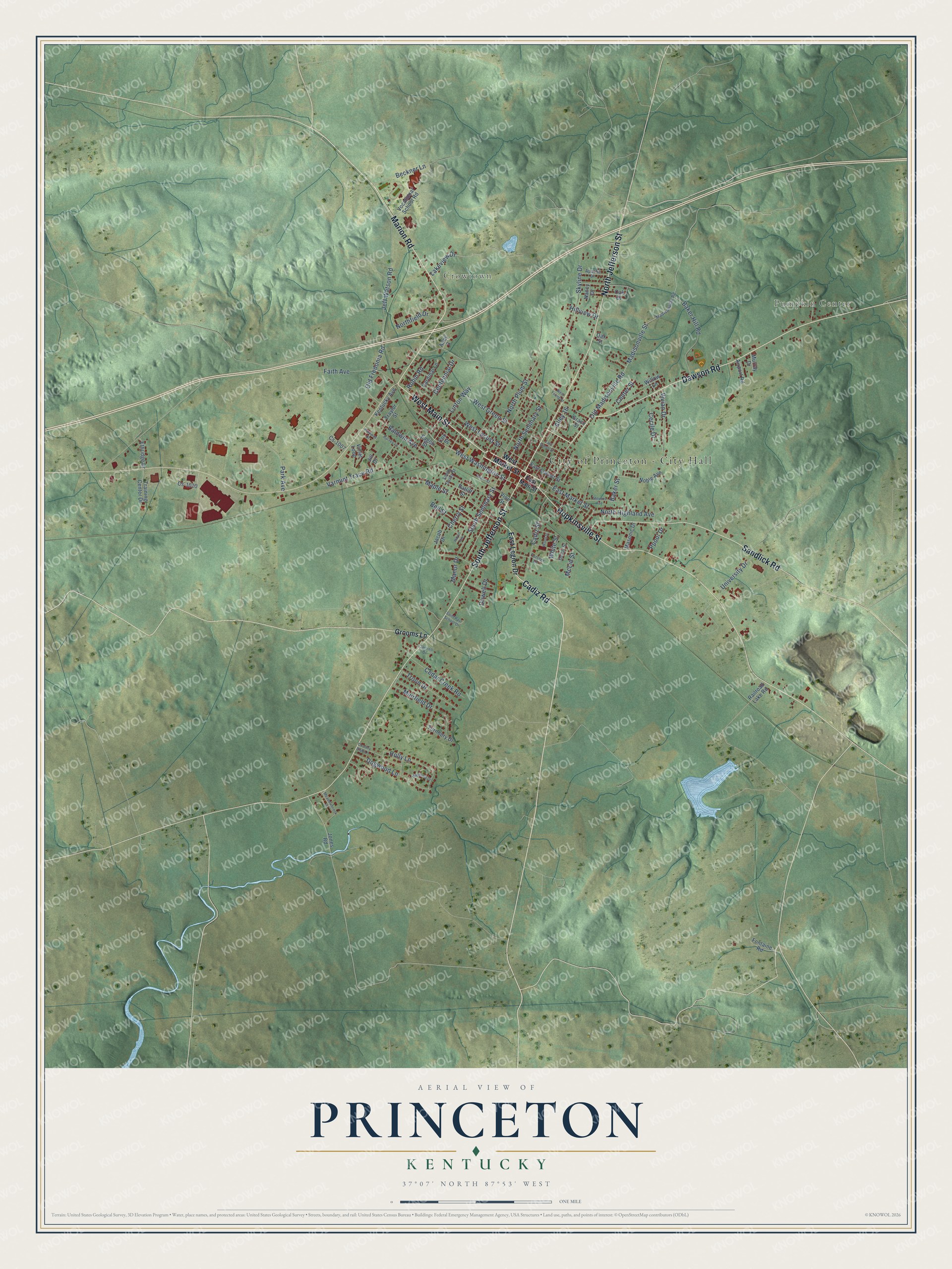
This beautifully detailed map of Princeton, Kentucky was created in 2026 using aerial imagery combined with modern topographical, census, street and landmark data. It’s a one-of-a-kind view of Princeton that combines accurate data with a vintage aesthetic. The map shows every building in its true location, many of the roads carry their names, and the shaded topographic relief shows the shape of the land.
Explore an aerial view of Princeton, Kentucky
On the map you’ll find City of Princeton – City Hall, Pumpkin Center, and Crowtown, along with Cadiz Road, North Jefferson Street, West Main Street, Dawson Road, Hopkinsville Street, South Jefferson Street, Marion Road, Sandlick Road, West Washington Street, and more. If you look closely you can even find your house accurately drawn in its correct location. Zoom in on the preview to look for yours.
Did you know this piece of Princeton, Kentucky history?
From the Kentucky Historical Society: "In 1910, Princeton High School was the only high school in the vicinity for blacks. In 1920s name was changed to Dotson High School in honor of John Dotson, a prominent black businessman in Princeton."
Take a closer look at the Princeton map
Street and place names on the Princeton, Kentucky map
These names are printed on the map of Princeton, Kentucky.
Places: City of Princeton - City Hall, Pumpkin Center and Crowtown.
Streets and roads: Cadiz Road, North Jefferson Street, West Main Street, Dawson Road, Hopkinsville Street, South Jefferson Street, Marion Road, Sandlick Road, West Washington Street, East Market Street, West Green Street, Dogwood Lane.
More street names, A to Z
Airport Road, Alley 3, Alley 16, Apache Drive, Baker Hill Road, Baker Street, Baldwin Avenue, Beckner Lane, Bell Street, Cadiz Street, Cantrell Drive, Cardinal Lane, Cecile Drive, Cedar Creek Road, Centennial Drive, Center Street, Cherry Street, Country Club Lane, Cox Street, Cs-1007, Cs-1010, Depot Street, Dollar Street, Dowell Drive, Eagon Street, East Green Street, East Legion Drive, East Locust Street, East Main Street, Ethridge Drive, Faith Avenue, Fontaine Road, Fortner Drive, Grace Street, Grooms Lane, Harvey Lane, Hayes Avenue, Hillview Drive, Holly Lane, Jacob Drive, Jeff Watson Road, Jill Drive, Jones Road, Kentucky Avenue, Lakeview Drive, Linton Way, Madisonville Road, Madisonville Street, Magnolia Drive, Manor Drive, Maple Street, Masonic Drive, McLin Street, Meadowbrook Drive, Muirfield Drive, Murray Drive, Nancy Drive, Noble Avenue, Northfield Drive, North Highland Avenue, North Plum Street, North Seminary Street, Oak Drive, Oak Street, Old Fredonia Road, Old Madisonville Road, Park Avenue, Parkway Drive, Ppool Drive, Railroad Lake Road, Ratliff Street, Robin Road, Saint Paul School Drive, Skyline Drive, South Darby Street, South Seminary Street, Stevens Avenue, Training Center Drive, Traylor Street, Troon Drive, Turnbury Drive, University Drive, Varmint Trace Road, Vine Street, Violet Loop, Vivian Drive, Vocational School Road, West Locust Street, West Market Street, West Young Street, White Street, Willow Lane, Wood Street.
See the Princeton, Kentucky map on a wall
The Princeton map as an 18 x 24 inch print in a black frame.

This beautifully detailed map of Princeton makes an attractive addition to your office, library, or den, and it can even be used to teach children the geography and history of the area. It also makes a great gift for someone who left Princeton and still calls it home. When you’re done exploring, click here to get your copy of the Princeton map.