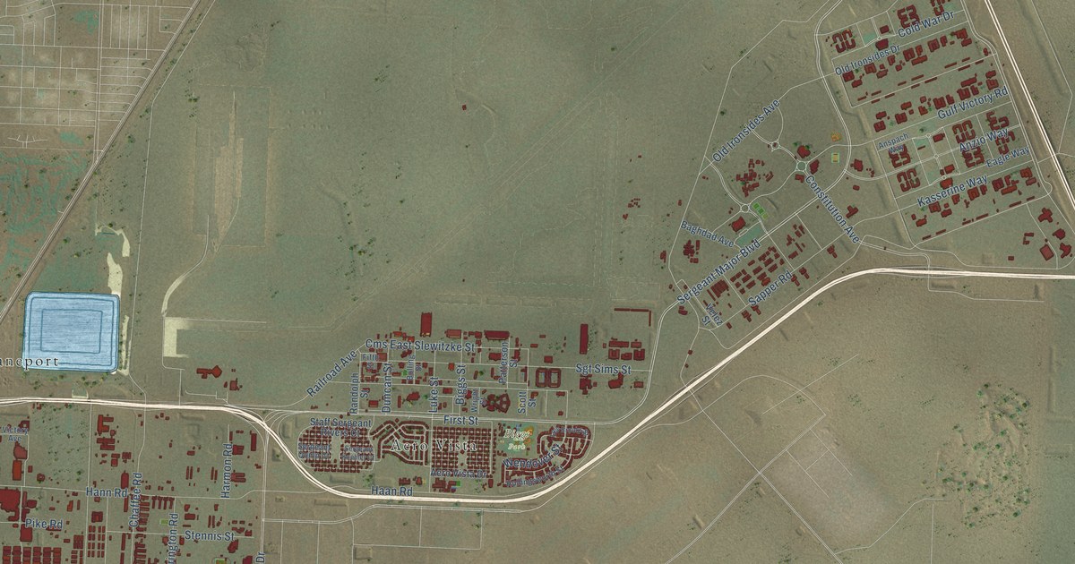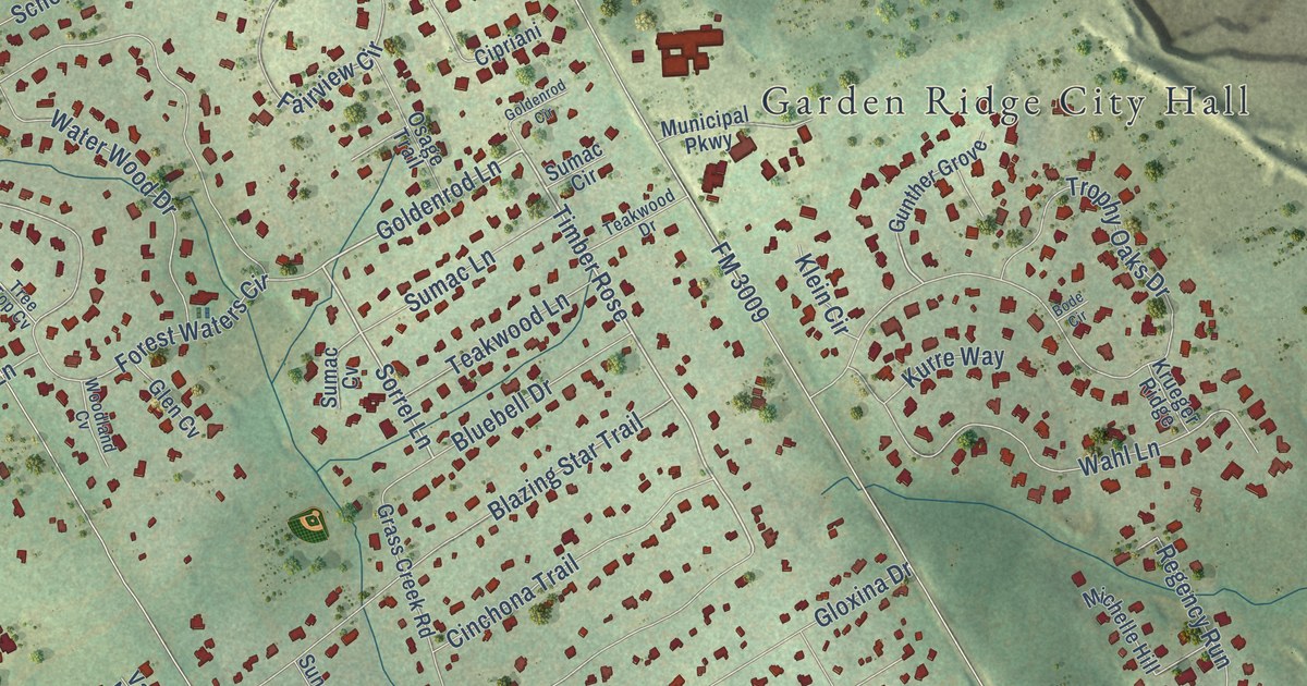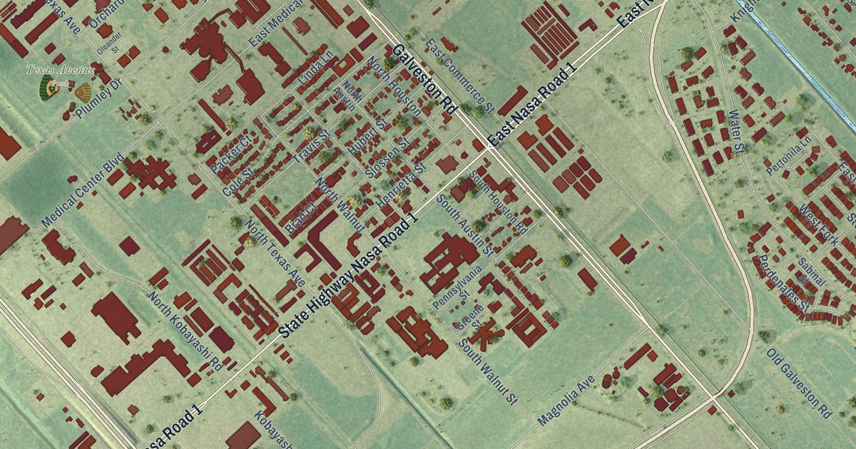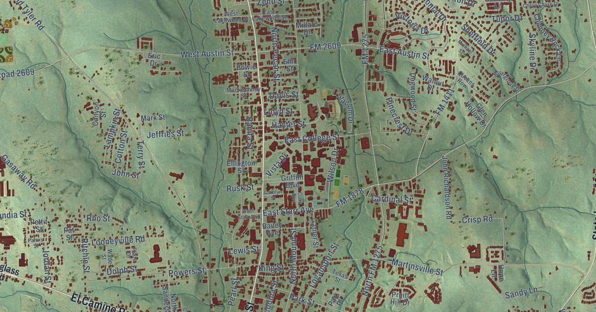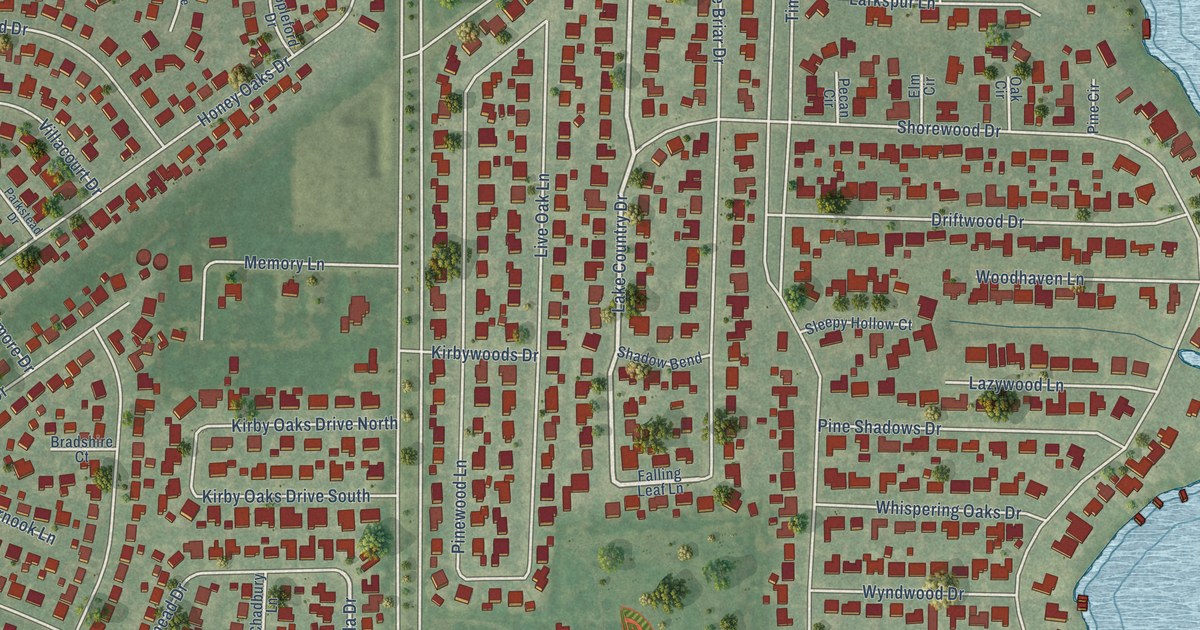
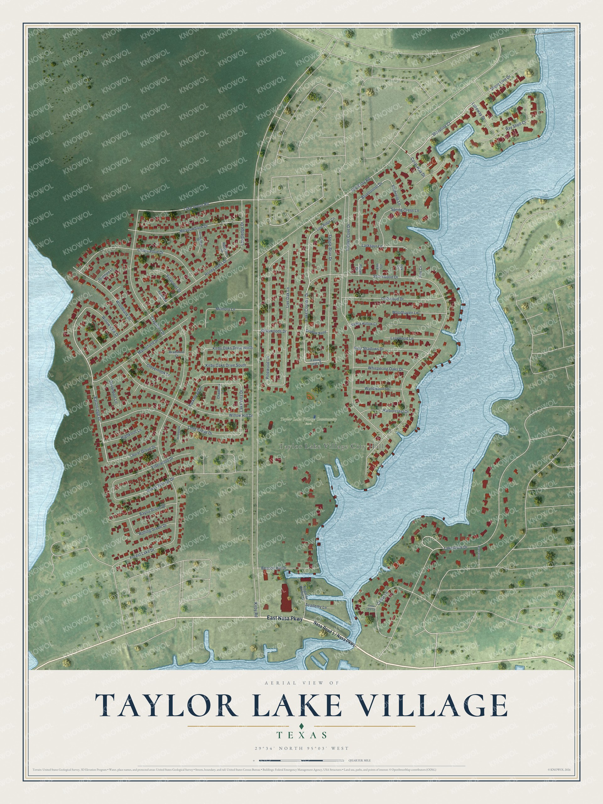
This beautifully detailed map of Taylor Lake Village, Texas was created in 2026 using aerial imagery combined with modern topographical, census, street and landmark data. It’s a one-of-a-kind view of Taylor Lake Village that combines accurate data with a vintage aesthetic. The map shows every building in its true location, many of the roads carry their names, and the shaded topographic relief shows the shape of the land.
Explore an aerial view of Taylor Lake Village, Texas
On the map you’ll find Taylor Lake Village City Hall and Taylor Lake Village Community Park, along with East Nasa Parkway, Lake Country Drive, Shoreline Court, Lakeshore Drive, Baronridge Drive, Lake Grove Road, Bluebonnet Drive, Lake Villa Drive, Kirby Road, Timber Cove Drive, and more. If you look closely you can even find your house accurately drawn in its correct location. Zoom in on the preview to look for yours.
Did you know this piece of Taylor Lake Village, Texas history?
From the Handbook of Texas: "The community was incorporated in December 1961 with a mayor-alderman form of city government."
Take a closer look at the Taylor Lake Village map
Street and place names on the Taylor Lake Village, Texas map
These names are printed on the map of Taylor Lake Village, Texas.
Places: Taylor Lake Village City Hall and Taylor Lake Village Community Park.
Streets and roads: East Nasa Parkway, Lake Country Drive, Shoreline Court, Lakeshore Drive, Baronridge Drive, Lake Grove Road, Bluebonnet Drive, Lake Villa Drive, Kirby Road, Timber Cove Drive, Shorewood Drive, Forest Lake Drive.
More street names, A to Z
Academy Lane, Appleford Drive, Bayou Grove Drive, Beacon Hill Drive, Bradshire Court, Cedar Lane, Cedar Lane Circle, Chadbury Lane, Clovernook Lane, Coral Way Drive, Cragmore Drive, Crownwood Drive, Devonport Lane, Driftwood Drive, Elderwood Drive, Elm Circle, Falling Leaf Lane, Goldendale Drive, Harborcrest Drive, Highknoll Lane, Honey Oaks Drive, Kingston Harbor Drive, Kirby Oaks Drive North, Kirby Oaks Drive South, Kirbywoods Drive, Lakeway Drive, Larkspur Lane, Laurel Grove Drive, Lazywood Lane, Live Oak Lane, Long Grove Drive, Longledge Drive, Lost Ridge Circle, Manorfield Drive, Meadowbank Drive, Memory Lane, Oak Circle, Old Kirby Road, Parkmead Drive, Parkstead Drive, Pecan Circle, Pine Circle, Pine Shadows Drive, Pinewood Lane, Plantation, Plumtree Lane, Primrose Lane, Ray Shell Court, Rolling Green Drive, Shadow Bend, Shady Springs Drive, Shore Line Drive, Sleepy Hollow Court, Spring Cress Lane, Tangle Briar Drive, Villacourt Drive, Whispering Oaks Drive, Willow Hill Drive, Willow Vale Drive, Woodbank Drive, Woodhaven Lane, Woodpark Drive, Wyndwood Drive.
See the Taylor Lake Village, Texas map on a wall
The Taylor Lake Village map as an 18 x 24 inch print in a black frame.

This beautifully detailed map of Taylor Lake Village makes an attractive addition to your office, library, or den, and it can even be used to teach children the geography and history of the area. It also makes a great gift for someone who left Taylor Lake Village and still calls it home. When you’re done exploring, click here to get your copy of the Taylor Lake Village map.