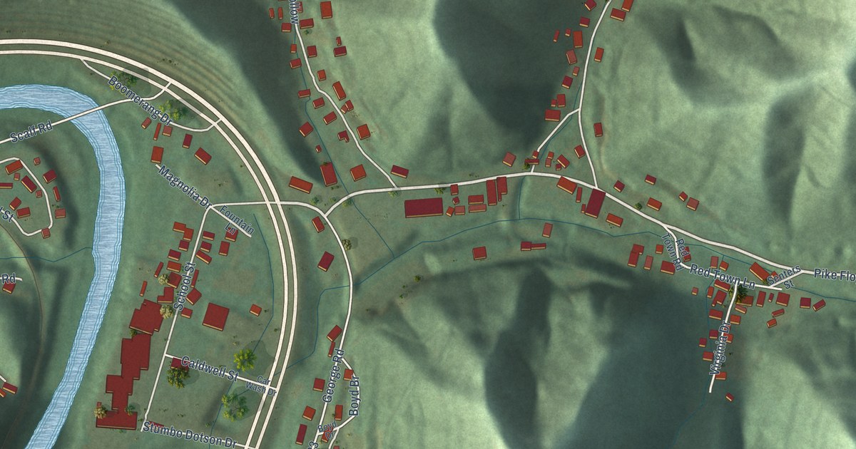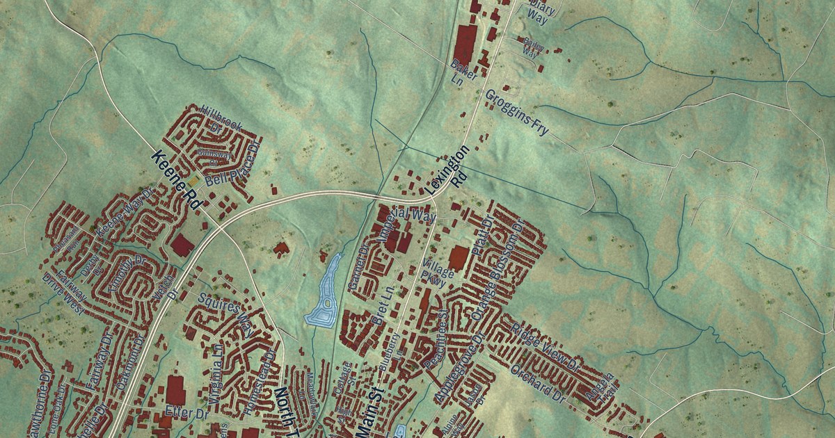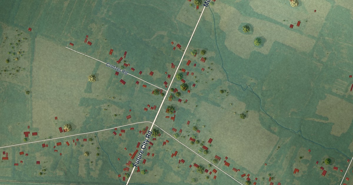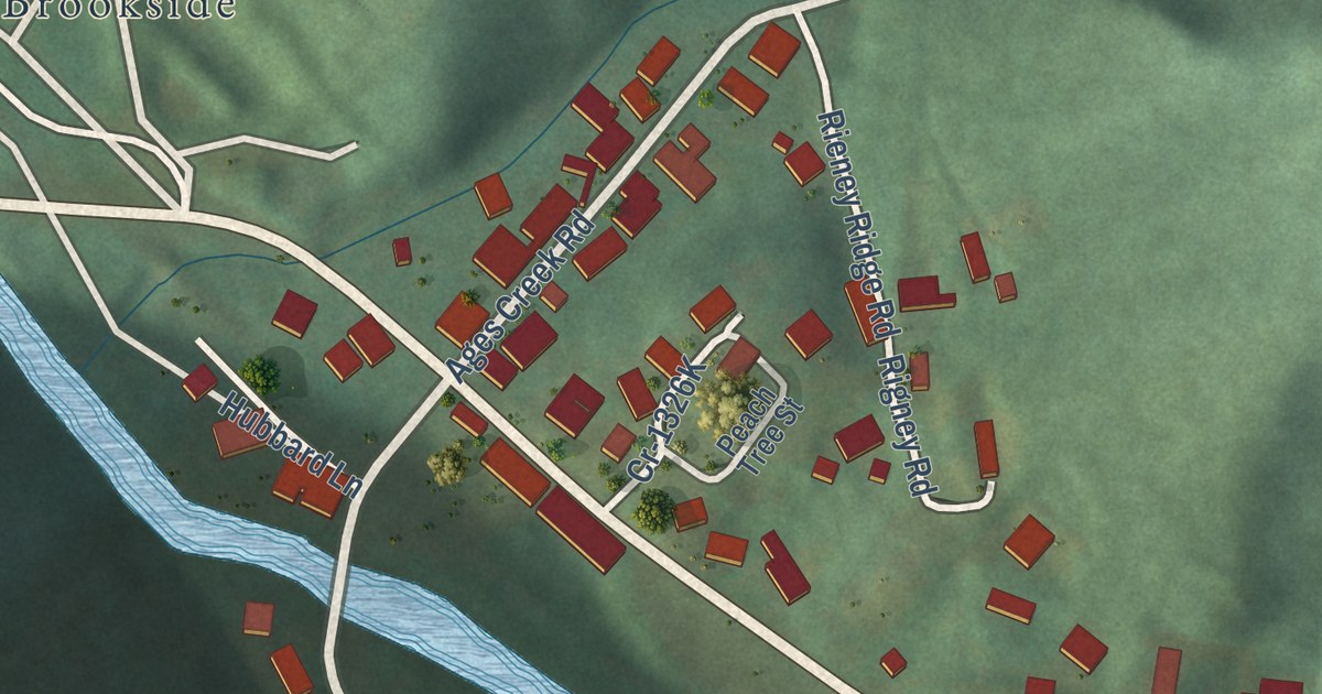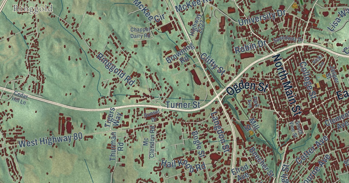
This beautifully detailed map of Somerset, Kentucky was created in 2026 using aerial imagery combined with modern topographical, census, street and landmark data. It’s a one-of-a-kind view of Somerset that combines accurate data with a vintage aesthetic. The map shows every building in its true location, many of the roads carry their names, and the shaded topographic relief shows the shape of the land.
Explore an aerial view of Somerset, Kentucky
On the map you’ll find Barnesburg, Bourbon, Oak Hill, Ringgold, and Sugar Hill, along with West Highway 80, Slate Branch Road, Ogden Street, Burnside Road, Monticello Street, East Mount Vernon Street, Jarvis Avenue, and more. If you look closely you can even find your house accurately drawn in its correct location. Zoom in on the preview to look for yours.
Did you know this piece of Somerset, Kentucky history?
From the Kentucky A Guide to the Bluegrass State: "Cyrenius Wait is credited with producing in Somerset, about 1840, the first raw silk in Kentucky."
Take a closer look at the Somerset map
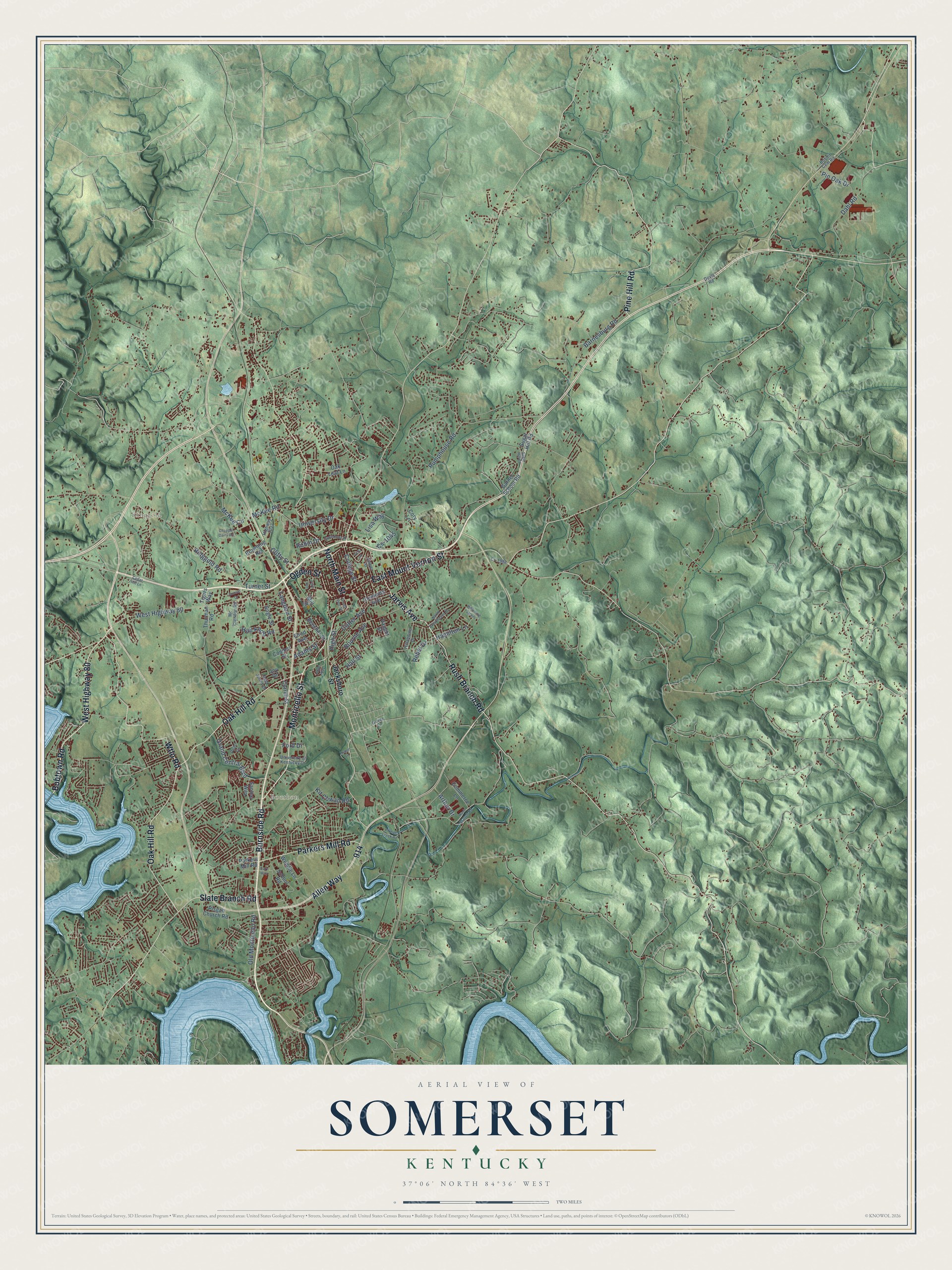
Street and place names on the Somerset, Kentucky map
These names are printed on the map of Somerset, Kentucky.
Places: Ringgold and Bourbon.
Streets and roads: Burnside Road, Monticello Street, Bobtown Road, Jarvis Avenue, Oak Hill Road, Allen Way, Wtlo Road, West Highway 80, Slate Branch Road, Rush Branch Road, East Mount Vernon Street, Parkers Mill Road.
More street names, A to Z
Adams Street, Arthur Drive, Barnesburg Road, Beecher Street, Bobbit Cem Road, Bogle Street, Bourne Avenue, Browning Road, Cedar Hill Lane, Chappel Dairy Road, Clements Avenue, Clifty Street, College Street, Commerce Lane, Coomer Street, Correll Street, Cory Lane, Cotter Avenue, Cr-1988, Cs-1045, Dahl Road, Doyle Road, Elrod Avenue, Eury Way, Ford Drive, Garner School Road, Gover Lane, Grand Central Boulevard, Hail Knob Road, Hall Street, Hamilton Lane, High Street, Highway 2227, Hillandale Drive, Hope Way, Hyden Lane, Jacksboro Street, Jasper Street, Joy Drive, Kit Cowan Road, Langdon Street, Lisa Way, Mc Clendon Road, McKee Circle, McKee Road, Mill Street, North Brookhaven Drive, North Main Street, Oak Leaf Lane, Ogden Street, Old Monticello Road, Park Avenue, Pearl Drive, Pine Hill Road, Pin Oak Drive, Pisgah Church Road, Pitman Creek Road, Pumphouse Road, Rebel Drive, Ringgold Road, Robin Drive, Sam Jones Drive, Santee Way, School Road, South Vine Street, Speedway Drive, Sugar Hill Court, Sugar Hill Road, Sunset Drive, Thurman Road, Tigers Way, Turner Street, University Drive, University of Kentucky Drive, Vaught Street, Vicki Lane, Weddle Lane, Whistling Straits.
See the Somerset, Kentucky map on a wall
The Somerset map as an 18 x 24 inch print in a black frame.

This beautifully detailed map of Somerset makes an attractive addition to your office, library, or den, and it can even be used to teach children the geography and history of the area. It also makes a great gift for anyone who grew up in Somerset or moved away. When you’re done exploring, click here to get your copy of the Somerset map.