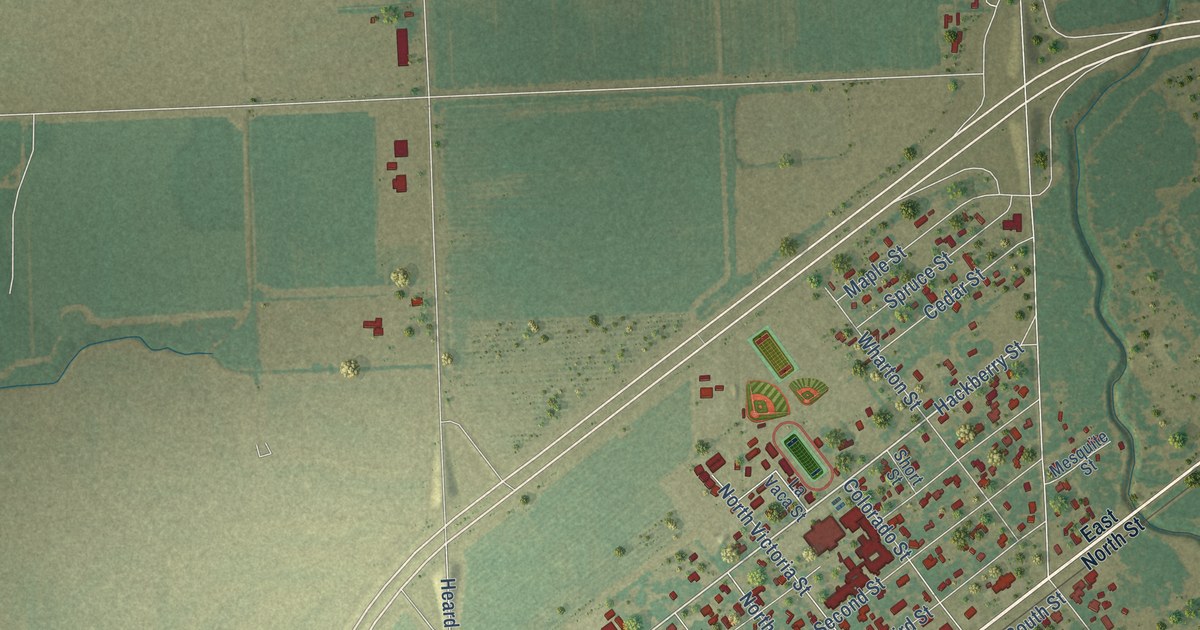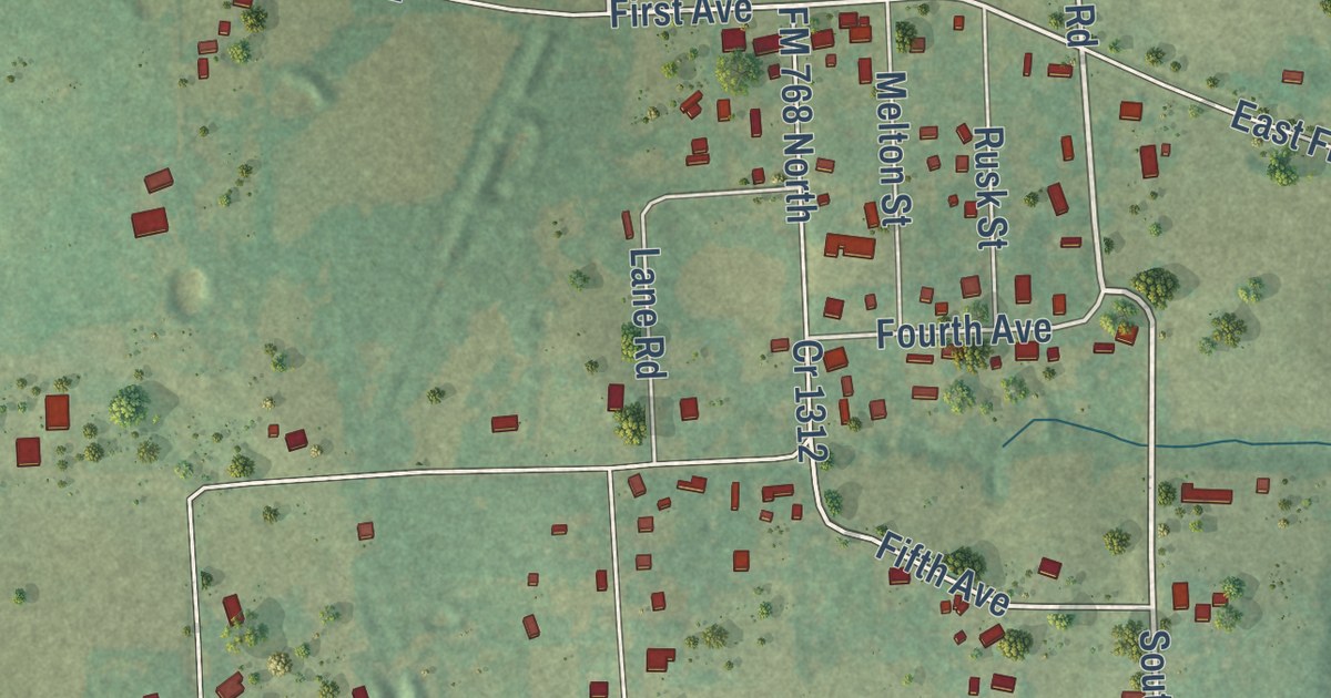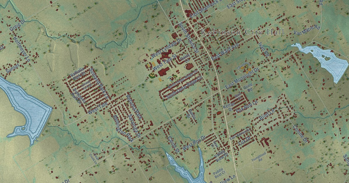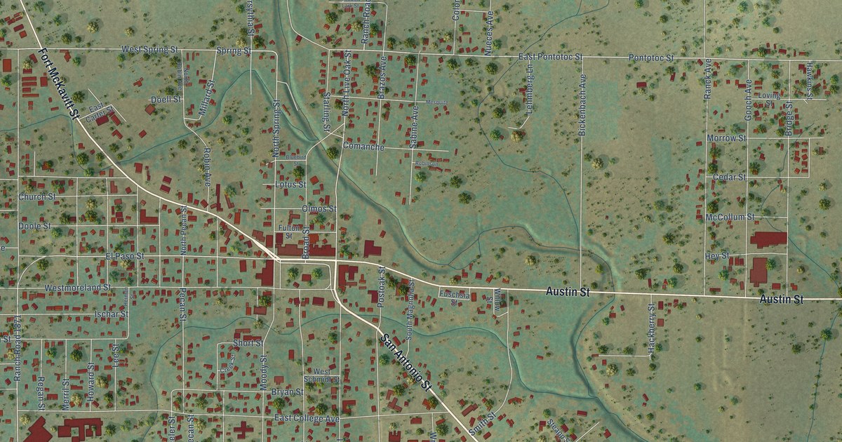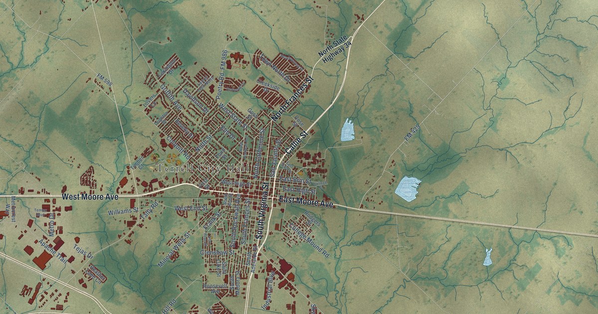
This beautifully detailed map of Terrell, Texas was created in 2026 using aerial imagery combined with modern topographical, census, street and landmark data. It’s a one-of-a-kind view of Terrell that combines accurate data with a vintage aesthetic. The map shows every building in its true location, many of the roads carry their names, and the shaded topographic relief shows the shape of the land.
Explore an aerial view of Terrell, Texas
On the map you’ll find Terrell City Hall and Union Valley, along with West Moore Avenue, Highway 34 South, East Moore Avenue, South Virginia Street, Callie Street, North Frances Street, FM 429, Frank Street, Airport Road, Rose Hill Road, and more. If you look closely you can even find your house accurately drawn in its correct location. Zoom in on the preview to look for yours.
Did you know this piece of Terrell, Texas history?
From the Handbook of Texas: "The North Texas Insane Asylum (now Terrell State Hospital ) was opened in Terrell in 1885 to help relieve overcrowding at the state institution in Austin."
Take a closer look at the Terrell map
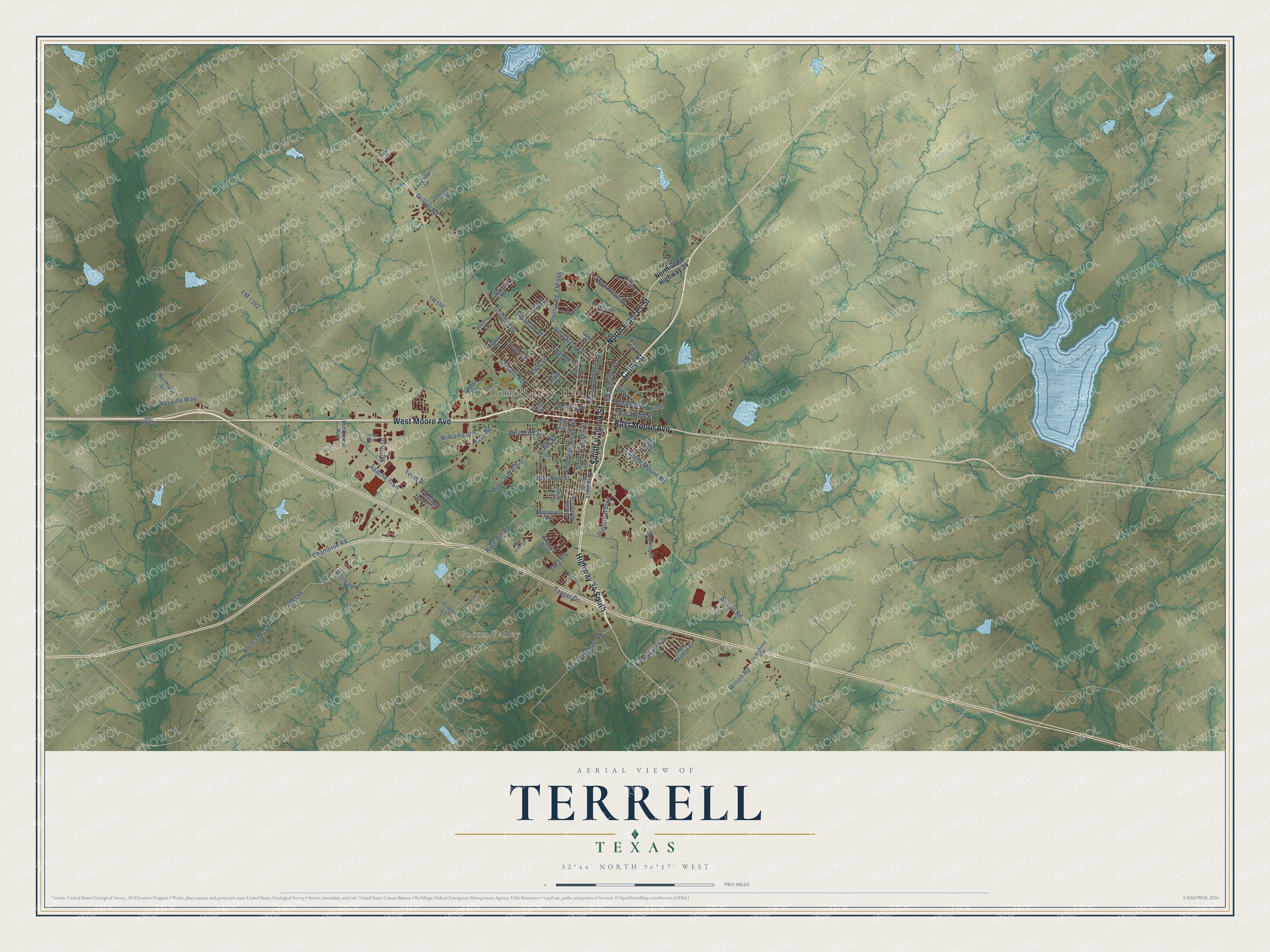
Street and place names on the Terrell, Texas map
These names are printed on the map of Terrell, Texas.
Places: Terrell City Hall and Union Valley.
Streets and roads: West Moore Avenue, Highway 34 South, East Moore Avenue, South Virginia Street, Callie Street, North Frances Street, FM 429, Frank Street, Airport Road, Rose Hill Road, FM 1392, Griffith Road.
More street names, A to Z
Apache Trail, Beverly Drive, Champion Road, Chapman Lane, Cheyenne Lane, College Mound Road, College Street, Colquitt Road, County Highway 306, Creekside Drive, Crenshaw Street, Davidson Drive, Davis Lane, East Brin Street, East High Street, East State Street, Elm Drive, First Street, FM 148, FM 598, FM 986, FM 2578, Gold Meadow Drive, Goss Street, Griffith Avenue, Heather Lane Circle, Industrial Boulevard, Kings Creek Drive, Laurel Trail North, Leighton Drive, Lexington Drive, Longspur Lane, Lovers Lane, Meadowcrest Drive, Metrocrest Way, Metro Drive, Mineral Wells Street, Mount Hebron Road, New Hope Street, Nike Drive, Ninth Street, North Catherine Street, North FM 148, North Rockwall Avenue, Northspur Drive, North State Highway 34, Osage Lane, Poetry Road, Redwood Lane, Reveille Way, Rodgers Street, Roosevelt Avenue, Rose Street, Saint Luke Street, San Jacinto Street, Skyline Drive, South Adelaide Street, South Ann Street, South Frances Street, South Medora Street, South Rockwall Avenue, Still Glen Drive, Talty Road, Tanger Drive, Tejas Drive, Temtex Boulevard, Third Street, Timber Court, Town North Drive, West End Street, West High Street, West Moore Street, West State Street, Williams Street, Wilson Road, Windsor Avenue.
See the Terrell, Texas map on a wall
The Terrell map as an 18 x 24 inch print in a black frame.

This beautifully detailed map of Terrell makes an attractive addition to your office, library, or den, and it can even be used to teach children the geography and history of the area. It also makes a great gift for someone who left Terrell and still calls it home. When you’re done exploring, click here to get your copy of the Terrell map.