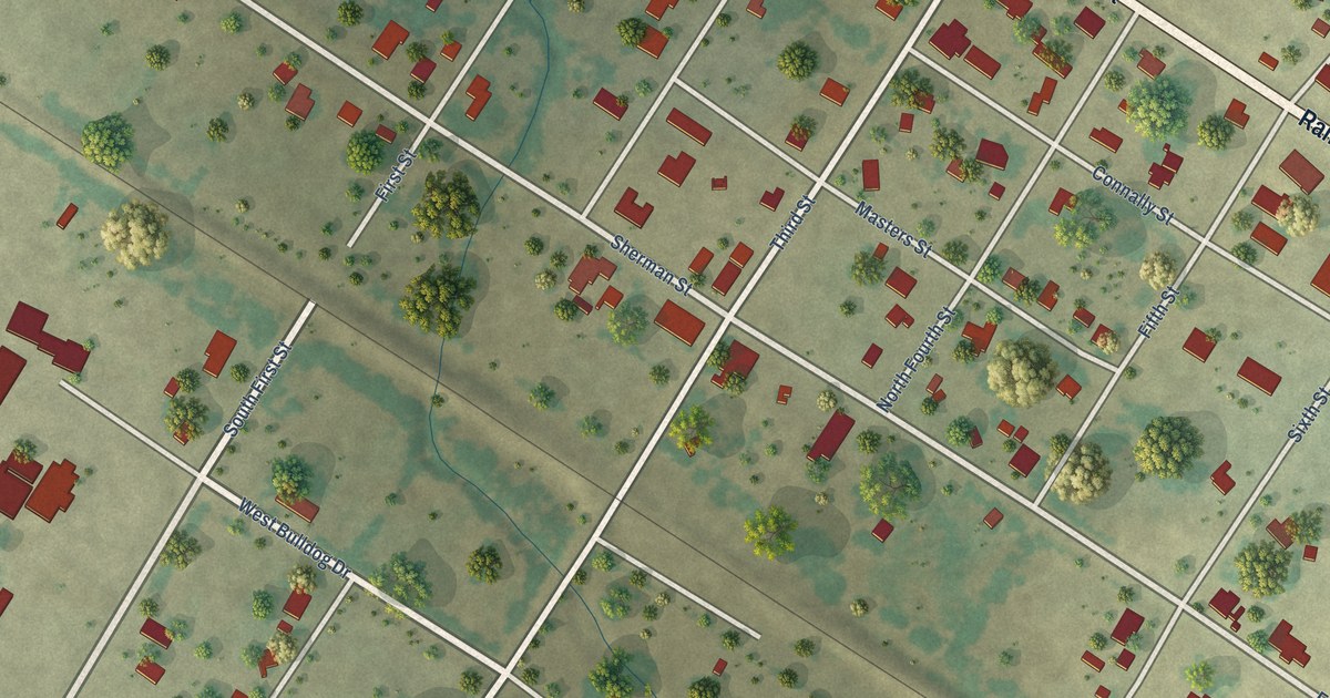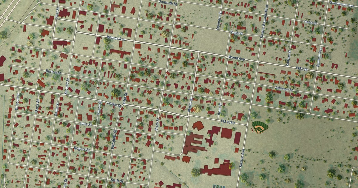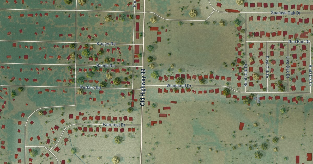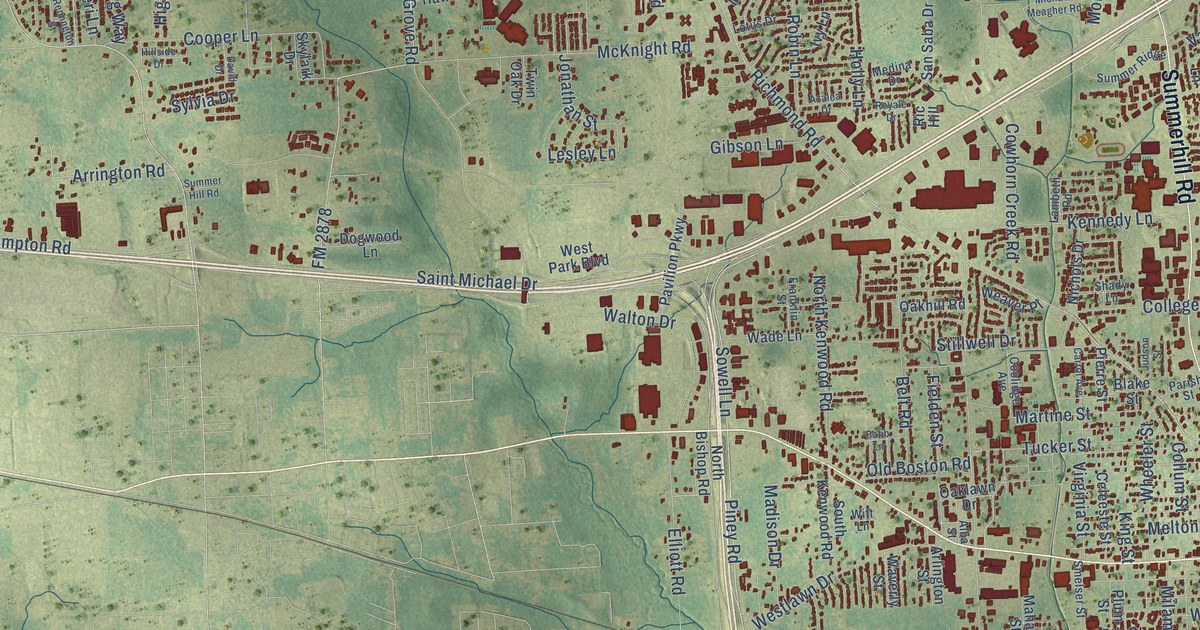
This beautifully detailed map of Texarkana, Texas was created in 2026 using aerial imagery combined with modern topographical, census, street and landmark data. It’s a one-of-a-kind view of Texarkana that combines accurate data with a vintage aesthetic. The map shows every building in its true location, many of the roads carry their names, and the shaded topographic relief shows the shape of the land.
Explore an aerial view of Texarkana, Texas
On the map you’ll find Texarkana Texas City Hall, Whatley, Red Lick, and South Texarkana, along with South Lake Drive, North State Line Avenue, West Seventh Street, West Eighth Street, New Boston Road, Texas Boulevard, Summerhill Road, and more. If you look closely you can even find your house accurately drawn in its correct location. Zoom in on the preview to look for yours.
Did you know this piece of Texarkana, Texas history?
From the Handbook of Texas: "The road from the south bank of Red River was completed on January 15, 1874, to the state line, where the city of Texarkana had been established on December 8, 1873, at the site where the two roads would join."
Take a closer look at the Texarkana map
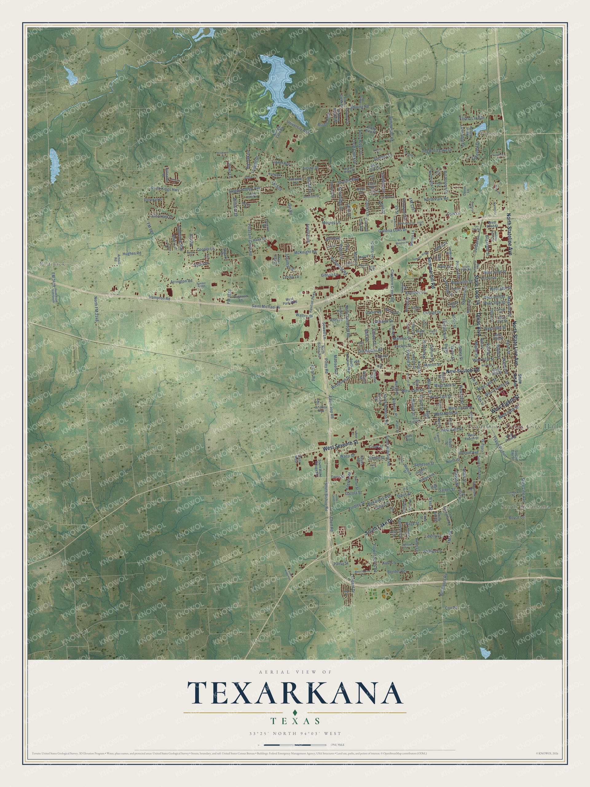
Street and place names on the Texarkana, Texas map
These names are printed on the map of Texarkana, Texas.
Places: Texarkana Texas City Hall, Whatley, Red Lick and South Texarkana.
Streets and roads: South Lake Drive, North State Line Avenue, West Seventh Street, West Eighth Street, North Stateline Avenue, New Boston Road, Texas Boulevard, Summerhill Road, State Loop 14, State Line Avenue, Piney Road, Sowell Lane.
More street names, A to Z
Airline Drive, Alba Street, Alexander Avenue, Allen Lane, Amesdale Drive, Ann Street, Apple Street, Arista Boulevard, Arizona Avenue, Arlington Street, Arnold Road, Arrington Road, Austin Street, Azalea Drive, Babb Lane, Ball Street, Beaumont Street, Beechwood Lane, Bel Air Drive, Belt Road, Bender Road, Bethany Lane, Big Oak Lane, Bill Rogers Drive, Blake Street, Bowie Street, Boyce Lane, Bringle Lake Road, Bringle Ridge, Britton Avenue, Brown Street, Bryant Street, Buchanan Road, Cameron Lane, Canadian Street, Capps Street, Carrol Avenue, Casteel Street, Celeeste Street, Century Lane, Chelf Road, Clay Avenue, Clear Creek Drive, College Drive, College Street, Collier Street, Collum Street, Colorado Street, Concord Place, Cooks Lane, Coolidge Avenue, Cooper Lane, Cork Lane, Court Street, Cowhorn Creek Road, Cox Road, David Drive, Davis Street, Deerfield Drive, Devon Lane, Dillon Street, Dogwood Lake Drive, Dogwood Lane, Dreyer Place, East Loop Road, Eli Street, Elizabeth Street, Elliott Road, Elliott Street, Elm Street, Elton Street, Fair Oaks Drive, Falvey Avenue, Fannin Street, Farm Road 3419 South, Fernwood Drive, Fielden Street, Findley Street, Flower Acres Road, FM 558, FM 559, FM 989, FM 1397, FM 2878, FM 3419, Forest Grove Road, Forest Lake Drive, Foster Street, Franklin Street, Galleria Oaks Drive, Galloping Way, Garber Street, Gatling Street, Gazola Street, Ghio Fish Boulevard, Gibson Lane, Gin Road, Hampton Road, Handley Street, Harrison Lane, Hatton Street, Hawk Drive, Hazel Street, Hickory Ridge Street, Hidden Acres Drive, High Drive, Hillside Drive, Hill Street, Holcombe, Holly Lane, Holly Ridge Drive, Holmes Lane, Hughes Road, Iowa Street, Ivy Lane, Jade Avenue, Jameson Street, James Street, Jenkins Street, Johnson Lane, Jonathan Street, Jones Lane, Jones Street, Jordan Lane, Judson Street, Keller Avenue, Kennedy Lane, Kevin Street, Kidd Lane, Kilgore Road, King Street, Knotty Pine Street, Ladera Street, Lakeridge Drive, Lakeview Drive, Lambeth Road, Landon Lane, Larry Drive, Lavaca Street, Leggett Drive, Lelia Street, Leopard Drive, Lesley Lane, Letter Carrier Drive, Liberty Lane, Lincoln Avenue, Lionel Avenue, Lost Creek Drive, Lotus Drive, Lubbock Street, Lynwood Drive, Madison Drive, Magnolia Street, Mahaffey Street, Maple Street, Martine Street, Matlock Street, McKnight Road, Medina Drive, Melton Street, Meyer Street, Michael Meagher Road, Milam Street, Monroe Drive, Moore Drive, Moores Lane, Morris Lane, Nettie Street, Nichols Drive, North Bishop Road, North FM 2148, Northgate, North Hills Drive, North Kenwood Road, North Kings Highway, North Park Road, Northridge Circle, North Robison Road, North Street, Northwood Drive, Norton Street, Oakhill Road, Oaklawn Drive, Oakridge Circle, Oak Street, Old Boston Road, Old Buchanan Road, Olive Street, Orange Street, Ozark Drive, Page Street, Palisades Drive, Palm Drive, Pansy Street, Parish Street, Park Lane, Pavilion Parkway, Peach Street, Pecos Avenue, Phenie Avenue, Phillips Lane, Pierre Street, Pine Street, Plant Street, Plaza West, Pleasant Grove Road, Plum Street, Polly Drive, Post Street, Remington Street, Ric Hill, Richmond Road, Robin Lane, Robison Place, Royale Drive, Sabine Avenue, Saint Michael Drive, Sandlin Avenue, San Saba Drive, Scottsdale Drive, Shadow Brooke Street, Shady Lane, Sheri Lane, Shilling Circle, Shilling Place, Shilling Road, Skylark Drive, Skyline Boulevard, Sleepy Hollow Avenue, Smelser Street, South Ann Street, South Bishop Road, South Day Street, South Kenwood Road, South Kings Highway, South Lelia Avenue, South Park Road, South Robison Road, South Wake Village Road, Sterling Drive, Stillwell Drive, Stone Creek Drive, Stoneridge Drive, Stonewall Drive, Sugden Street, Summer Hill Road, Summer Lane, Summer Ridge, Sunny Street, Suzanne Avenue, Sweetbrush Avenue, Sylvia Drive, Talbert Street, Tamar Drive, Taylor Street, Terry Street, Texas Viaduct, Tucker Street, Twin Oak Drive, Tyler Street, University Avenue, Urban Drive, Valley Drive, Virginia Street, Waco Street, Wade Lane, Walnut Street, Walton Drive, Waterall Street, Waverly Street, Weaver Place, West 13th Street, West 14th Street, West 15th Street, West 16th Street, West 19th Street, West 20th Street, West 21st Street, West 27th Street, West 29th Street, West 31st Street, West 35th Street, West 36th Street, West 38th Street, West 40th Street, West 41st Street, West 42nd Street, West 52nd Street, West Fifth Street, West Fourth Street, West Front Street, Westlawn Drive, West Ninth Street, West Park Boulevard, West Sixth Street, West Street, West Tenth Street, West Twelfth Street, Wheeler Street, Whitaker Street, Wild Oak Circle, Willis Street, Wilshire Drive, Witt Lane, Woodgate Drive, Woodmere Court, Wood Street, Wyatt Lane.
See the Texarkana, Texas map on a wall
The Texarkana map as an 18 x 24 inch print in a black frame.

This beautifully detailed map of Texarkana makes an attractive addition to your office, library, or den, and it can even be used to teach children the geography and history of the area. It also makes a great gift for anyone with Texarkana roots. When you’re done exploring, click here to get your copy of the Texarkana map.