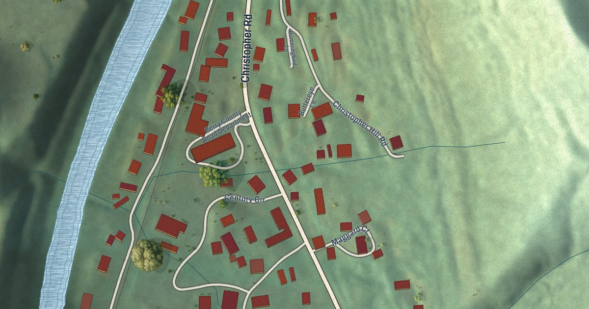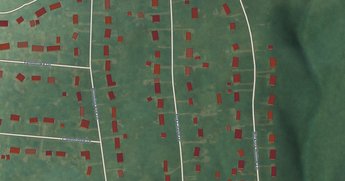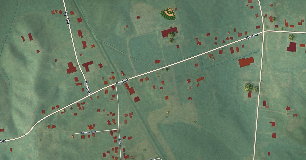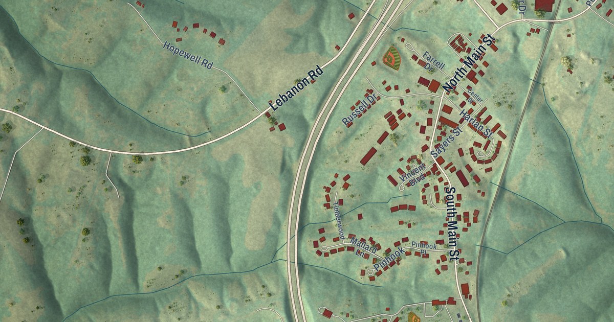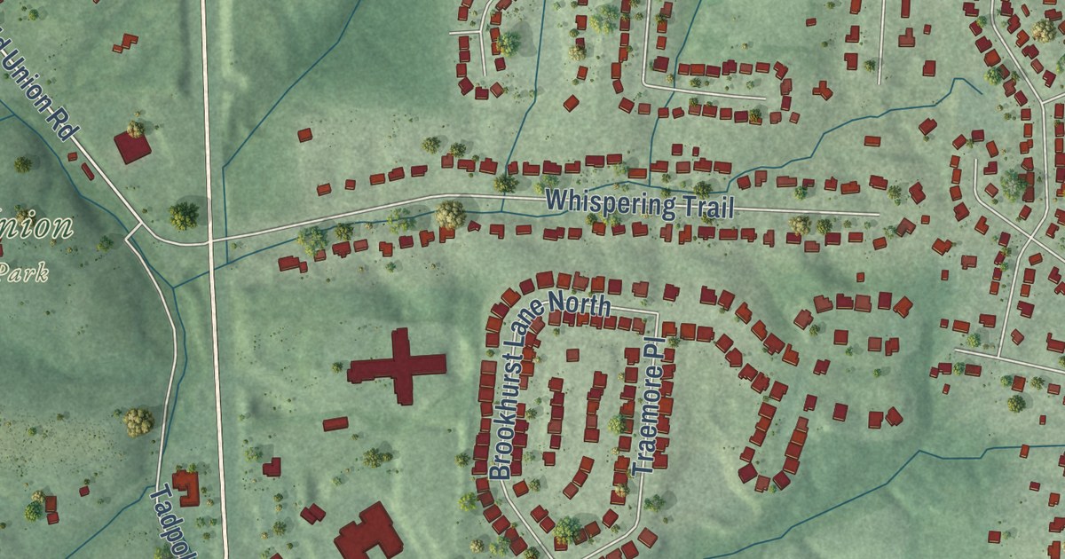
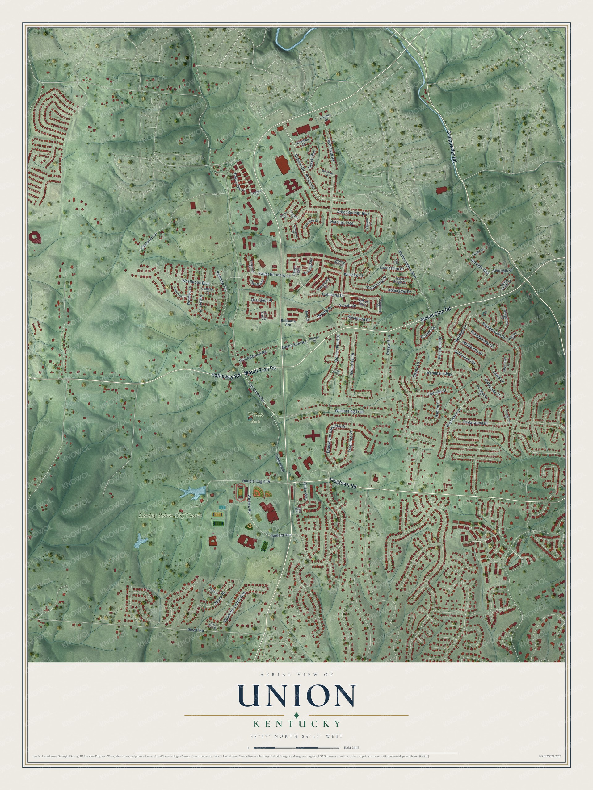
This beautifully detailed map of Union, Kentucky was created in 2026 using aerial imagery combined with modern topographical, census, street and landmark data. It’s a one-of-a-kind view of Union that combines accurate data with a vintage aesthetic. The map shows every building in its true location, many of the roads carry their names, and the shaded topographic relief shows the shape of the land.
Explore an aerial view of Union, Kentucky
On the map you’ll find Union City Building, Union Park, and Lassing Pointe Golf Course, along with Mount Zion Road, Gunpowder Road, Frogtown Road, Hathaway Road, Braxton Drive, Royal Oak Lane, Sweet Harmony Lane, Wetherington Boulevard, Old Union Road, and more. If you look closely you can even find your house accurately drawn in its correct location. Zoom in on the preview to look for yours.
Did you know this piece of Union, Kentucky history?
From the Kentucky Atlas and Gazetteer: "The Benjamin Piatt Fowler house was built in the northern part of what is now Union in 1817."
Take a closer look at the Union map
Street and place names on the Union, Kentucky map
These names are printed on the map of Union, Kentucky.
Places: Union Park and Lassing Pointe Golf Course.
Streets and roads: Mount Zion Road, Gunpowder Road, Frogtown Road, Hathaway Road, Braxton Drive, Evensong Drive, Sweet Harmony Lane, Royal Oak Lane, Old Union Road, Richmond Road, Hempsteade Drive, Arbor Springs Boulevard.
More street names, A to Z
Abbington Drive, Affinity Fields, Aria Court, Armistead Court, Ashton Court, Aspen Place, Bayberry Lane, Bayswater Drive, Brandsteade Court, Braxton Road, Brilliance Avenue, Bristow Drive, Brookhurst Lane North, Burleigh Lane, Callie Way, Camelot Court, Capri Court, Cavalry Drive, Cedarwood Drive, Chantilly Court, Cherbourg Drive, Churchill Drive, Clarkston Lane, Cobalt Way, Dawns Light, Double Eagle Drive, Evening Star, Fireside Court, Fort Henry Drive, Fowlers Lane, Glenfield Court, Golden Pond Drive, Grafton Drive, Grandeur Place, Green Briar Place, Greenbrook Court, Holderness Drive, Indian Hill Drive, Kingston Court, Lakepointe Court, Lancashire Drive, Lea Way, Lewis Lane, Lilly Pad Court, Lincoln Court, Lurawoods Court, Melody Drive, Merrimac Court, Mountain Laurel Way, Napa Ridge Court, Natchez Trce, Pembroke Drive, Penrose Way, Pickett Run, Raiders Run, Rainbow Terrace, Rice Pike, Riviera Drive, Russwill Lane, Saffron Alley, Sapphire Lane, Shane Lane, Sherman Court, Soaring Breezes, Sonata Drive, Stoneybrook Court, Sweetsong Drive, Sycamore Drive, Symphony Court, Tadpole Lane, Traemore Place, Tudor Lane, Union Bluffs Drive, Union School Road, Waterside Court, Westbrook Boulevard, Westfield Lane, Wetherington Boulevard, Whispering Trail, Whittlesey Drive, Wilshire Court, Windsor Way, Winters Road, Wyndham Way.
See the Union, Kentucky map on a wall
The Union map as an 18 x 24 inch print in a black frame.

This beautifully detailed map of Union makes an attractive addition to your office, library, or den, and it can even be used to teach children the geography and history of the area. It also makes a great gift for someone who left Union and still calls it home. When you’re done exploring, click here to get your copy of the Union map.