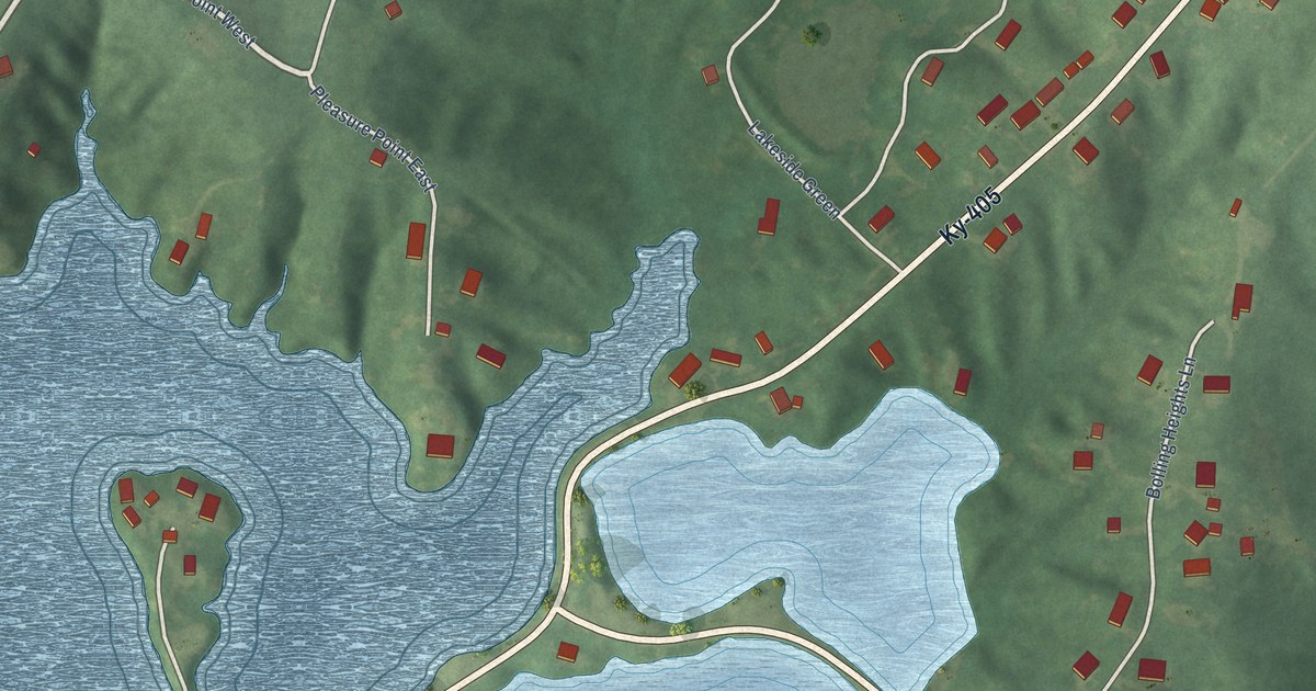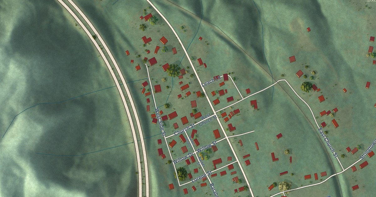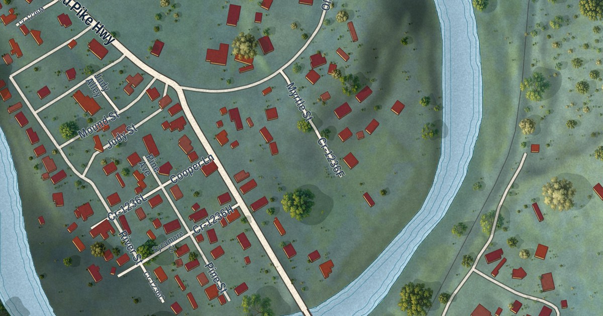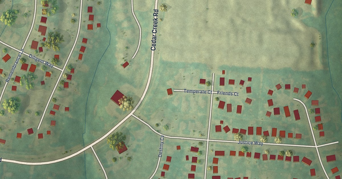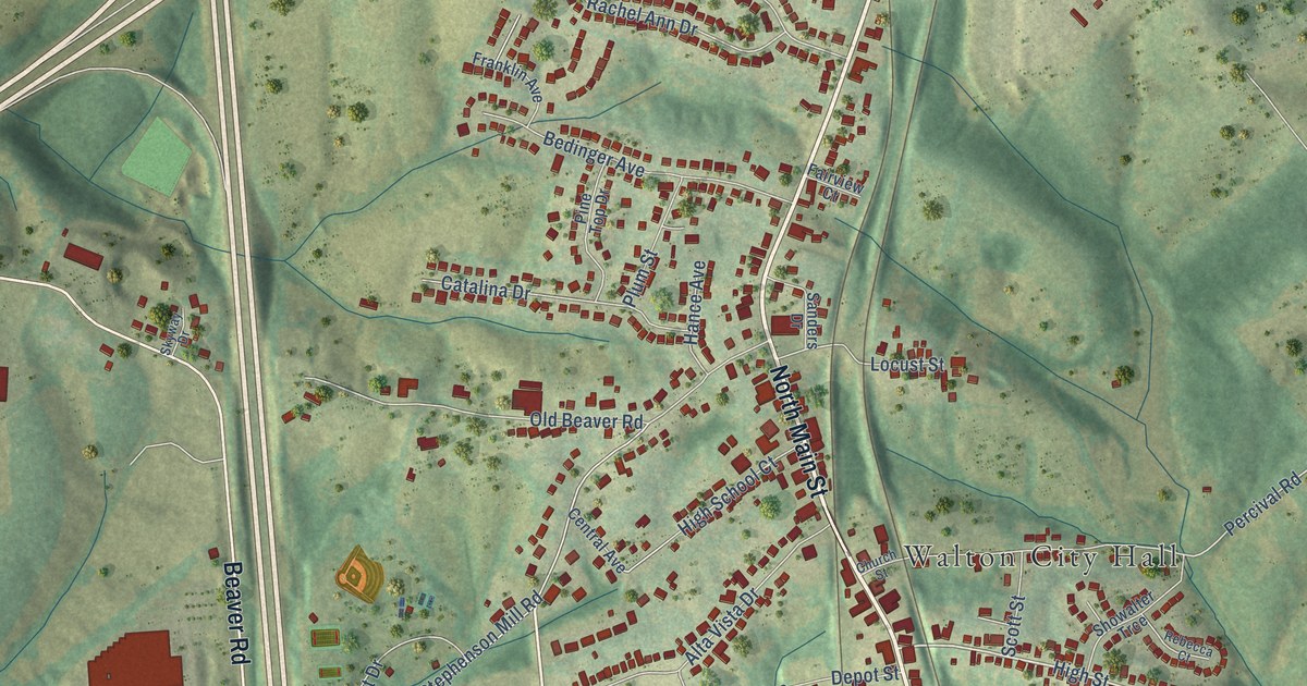
This beautifully detailed map of Walton, Kentucky was created in 2026 using aerial imagery combined with modern topographical, census, street and landmark data. It’s a one-of-a-kind view of Walton that combines accurate data with a vintage aesthetic. The map shows every building in its true location, many of the roads carry their names, and the shaded topographic relief shows the shape of the land.
Explore an aerial view of Walton, Kentucky
On the map you’ll find Walton City Hall, along with South Main Street, Walton-Verona Road, Dixie Highway, North Main Street, Mary Grubbs Highway, Beaver Road, Walton-Nicholson Road, Service Road, School Road, Needmore Street, High Street, and more. If you look closely you can even find your house accurately drawn in its correct location. Zoom in on the preview to look for yours.
Did you know this piece of Walton, Kentucky history?
From the Kentucky Atlas and Gazetteer: "Gaines and Walton were both stations on the Louisville and Nashville Railroad and the Cincinnati Southern Railroad."
Take a closer look at the Walton map
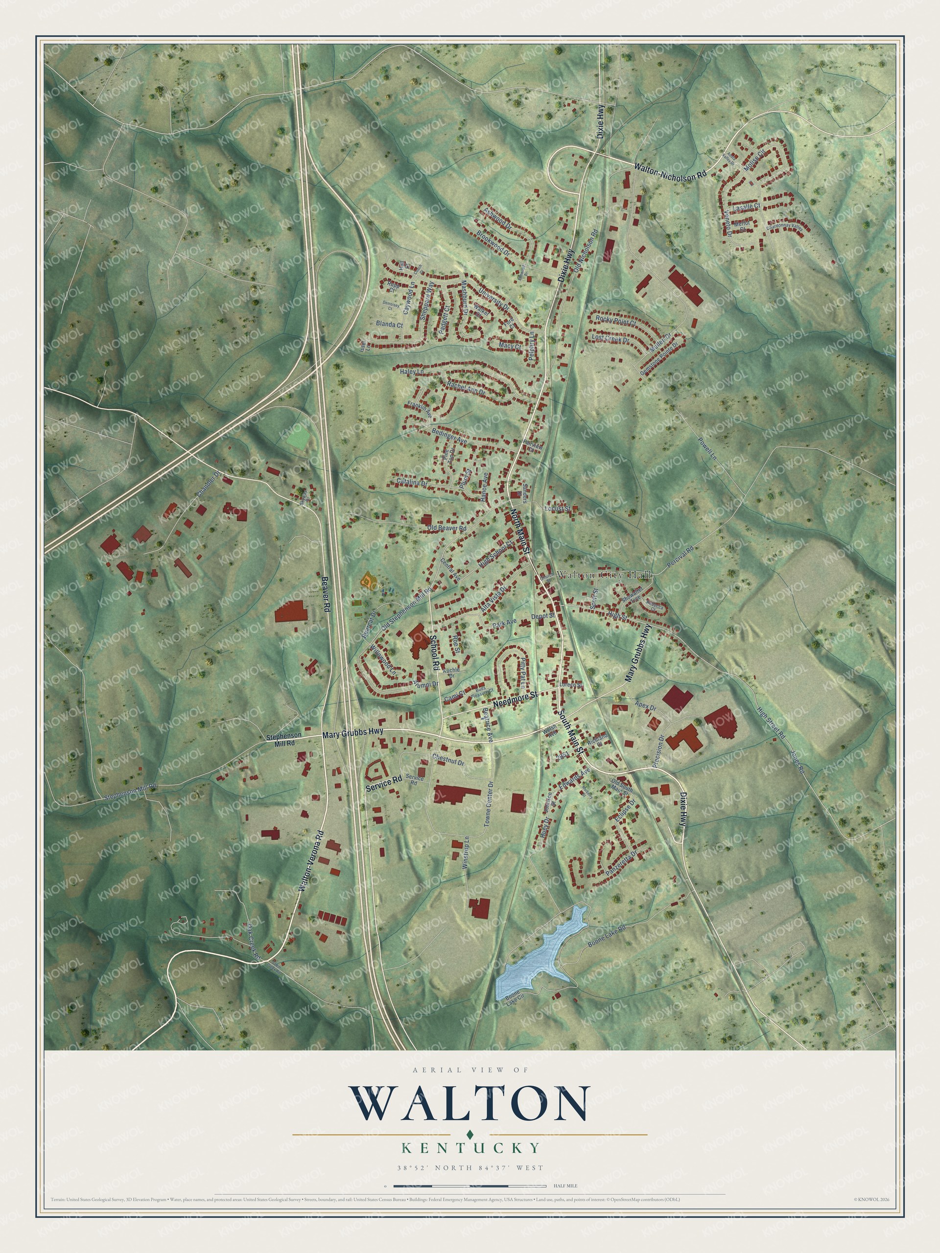
Street and place names on the Walton, Kentucky map
These names are printed on the map of Walton, Kentucky.
Places: Walton City Hall.
Streets and roads: South Main Street, Walton-Verona Road, Dixie Highway, North Main Street, Mary Grubbs Highway, Beaver Road, Walton-Nicholson Road, Service Road, School Road, Needmore Street, High Street, Percival Road.
More street names, A to Z
Alta Vista Drive, Alumni Drive, Aosta Valley Drive, Apex Drive, Ashwood Drive, Bearcat Drive, Beatrice Avenue, Bedinger Avenue, Blanda Court, Boone Lake Circle, Boone Lake Road, Brookwood Drive, Buds Pleasure Court, Cami Court, Catalina Drive, Caywood Lane, Central Avenue, Chandler Drive, Chardonnay Valley, Chestnut Drive, Church Street, Couch Court, Demoisey Court, Depot Street, Eclipse Drive, Edwards Avenue, Elmwood Drive, Fairview Court, Ford Court, Franklin Avenue, Gemstone Pointe Drive, Haley Lane, Hall Court, Hance Avenue, High School Court, High Street Road, Huey Drive, Issel Lane, Johnson Street, Jones Road, Kuchle Drive, Lasalle Court, Locust Street, Loreco Street, Lost Creek Drive, Macy Court, Mashburn Drive, Merlot Court, Molise Circle, Mulberry Street, Mullen Drive, Oak Creek Road, Old Beaver Road, Old Nicholson Road, Old South Main Street, Old Stephenson Mill Road, Padgett Court, Panzeretta Drive, Park Avenue, Pelphry Lane, Pine Top Drive, Pitty Pat Lane, Plum Street, Powell Lane, Precision Drive, Rachel Ann Drive, Rebecca Court, Richland Court, Rocky Point Court, Roe Street, Rupp Court, Salem Creek Road, Sanders Drive, Scott Street, Sheppard Way, Showalter Trce, Skyway Drive, Stephenson Mill Road, Towne Center Drive, University Drive, Veneto Drive, Walker Court, Welsh Avenue, Willowood Lane, Winstrup Lane.
See the Walton, Kentucky map on a wall
The Walton map as an 18 x 24 inch print in a black frame.

This beautifully detailed map of Walton makes an attractive addition to your office, library, or den, and it can even be used to teach children the geography and history of the area. It also makes a great gift for anyone who grew up in Walton or moved away. When you’re done exploring, click here to get your copy of the Walton map.