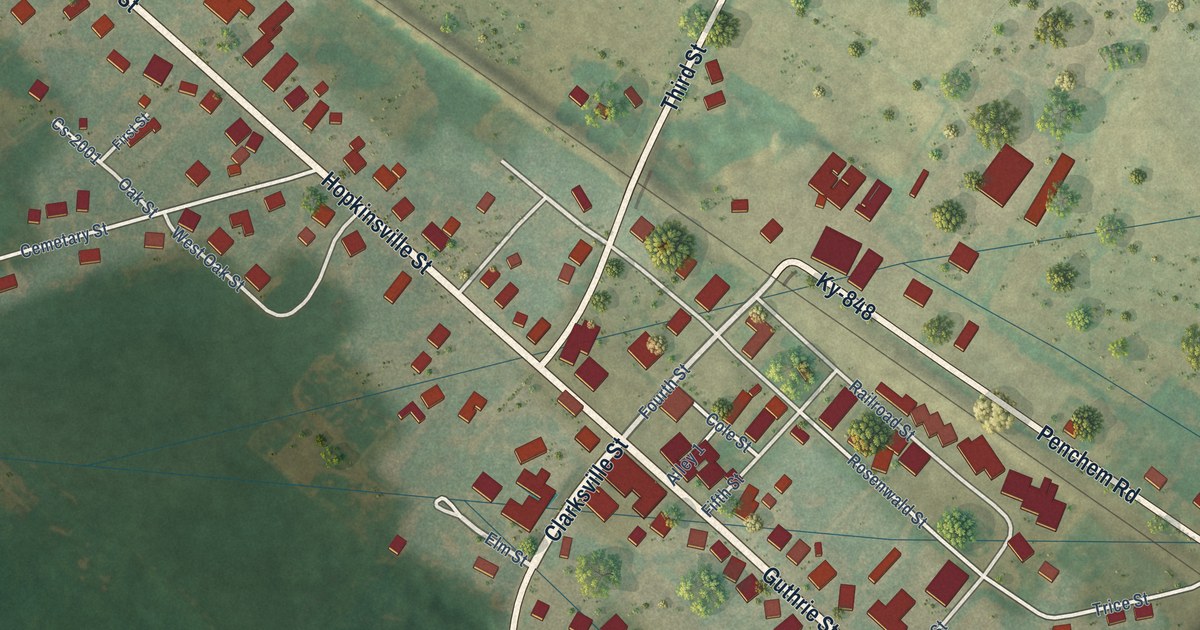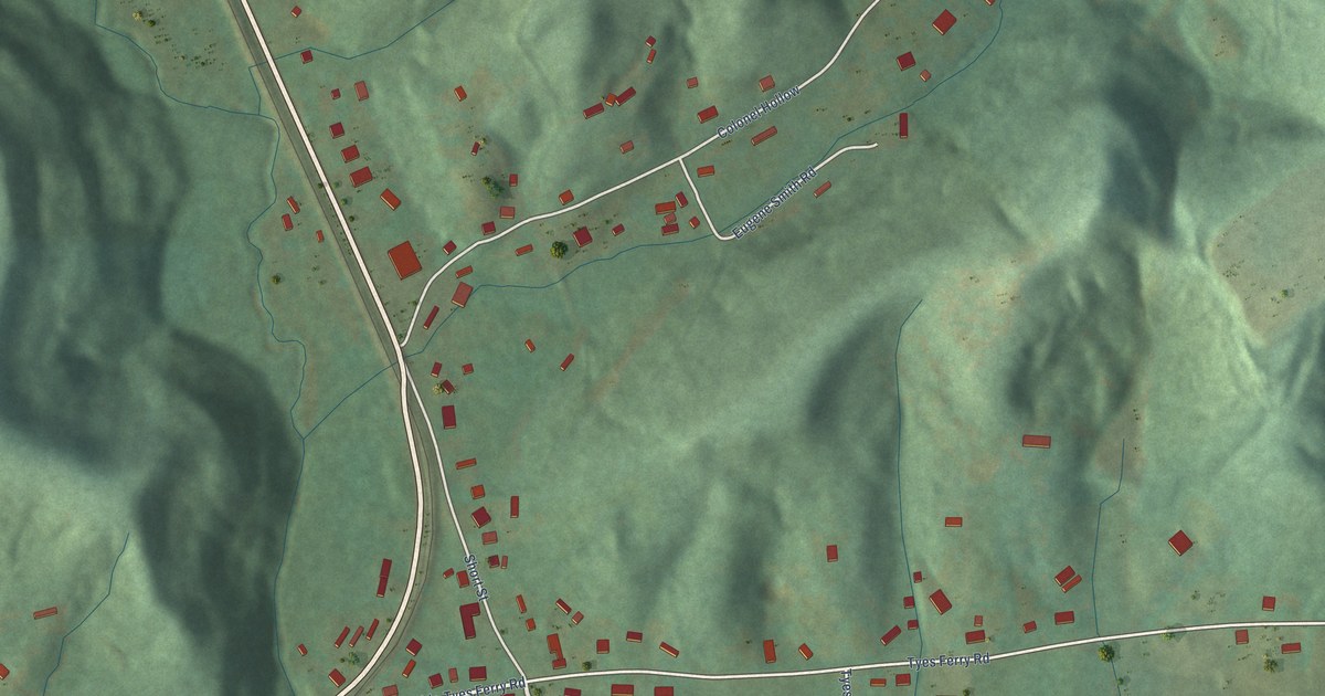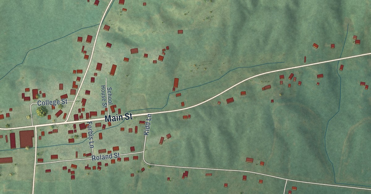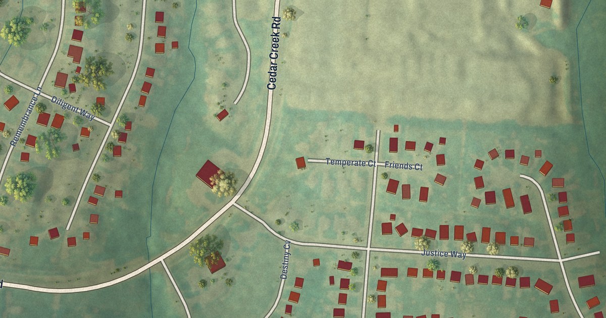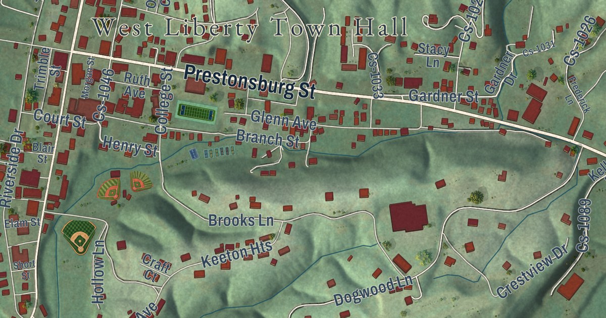
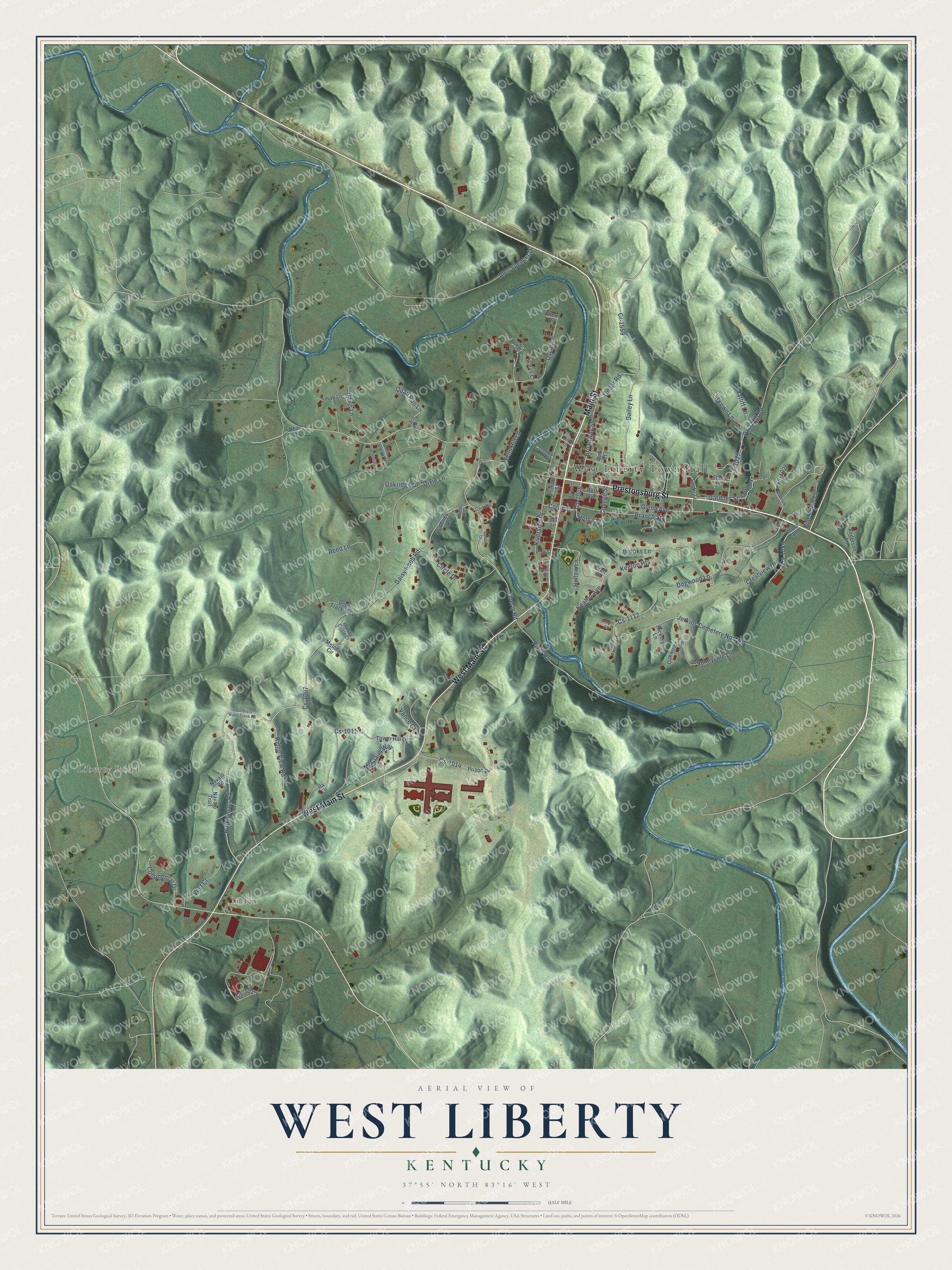
This beautifully detailed map of West Liberty, Kentucky was created in 2026 using aerial imagery combined with modern topographical, census, street and landmark data. It’s a one-of-a-kind view of West Liberty that combines accurate data with a vintage aesthetic. The map shows every building in its true location, many of the roads carry their names, and the shaded topographic relief shows the shape of the land.
Explore an aerial view of West Liberty, Kentucky
On the map you’ll find West Liberty Town Hall, Index, Keeton Heights, and Cs-1112, along with Liberty Road, West Main Street, Prestonsburg Street, Main Street, Henry Street, Gardner Street, River Road, Hutchinson Road, and more. If you look closely you can even find your house accurately drawn in its correct location. Zoom in on the preview to look for yours.
Did you know this piece of West Liberty, Kentucky history?
From the Kentucky Atlas and Gazetteer: "The town was renamed West Liberty when it became the seat of the new county in 1823."
Take a closer look at the West Liberty map
Street and place names on the West Liberty, Kentucky map
These names are printed on the map of West Liberty, Kentucky.
Places: West Liberty Town Hall, Liberty Road and Index.
Streets and roads: West Main Street, Prestonsburg Street, Main Street, Henry Street, Gardner Street, River Road, Hutchinson Road, Cs-1112, Dogwood Lane, Cs-1007, Daisy Knob Road, Keeton Heights.
More street names, A to Z
Alec Spencer Drive, Anderson Lane, Bailey Lane, Barber Lane, Blair Street, Branch Street, Broadway Street, Brooks Lane, Brown Lane, Cedar Road, Circle Drive, College Street, Continental Drive, Court Street, Cr-1559, Craft Court, Crestview Drive, Cs-1011, Cs-1014, Cs-1015, Cs-1026, Cs-1027, Cs-1031, Cs-1033, Cs-1046, Cs-1067, Cs-1089, Cs-1096, Davis Lane, Deer Track Way, Dixie Lane, Dye Lane, Elam Street, Frederick Lane, Gardner Drive, Glenn Avenue, Harris Court, Helton Street, Hickory Lane, Hill View Court, Hollow Lane, Ila Lane, Jerkins Cemetery No 1 Road, Keaton Avenue, Keller Lane, Little Black Water Creek Road, Maple Court, McClaim Way, Melody Circle, Melody Circle Court, Miney Lane, Morgan Street, Navajo Road, Navajo Trail, Neal Lane, Oak Court, Oakridge Drive, Oakwood Lane, Oscar Lane, Park Hill Road, Pine Acres Lane, Prison Drive, Quail Run Lane, Quails Run Lane, Ratliff Lane, Reed Lane, Ridge View Road, Riverside Drive, Ruth Avenue, Short Street, Smith Lane, Stacy Lane, Sugar Maple Lane, Sunnyside Lane, Tower Hill Lane, Townhouse Lane, Trimble Street, Trooper Lane, Vance Court, Vest Court, View Drive, Wells Hill Lane.
See the West Liberty, Kentucky map on a wall
The West Liberty map as an 18 x 24 inch print in a black frame.

This beautifully detailed map of West Liberty makes an attractive addition to your office, library, or den, and it can even be used to teach children the geography and history of the area. It also makes a great gift for someone who left West Liberty and still calls it home. When you’re done exploring, click here to get your copy of the West Liberty map.