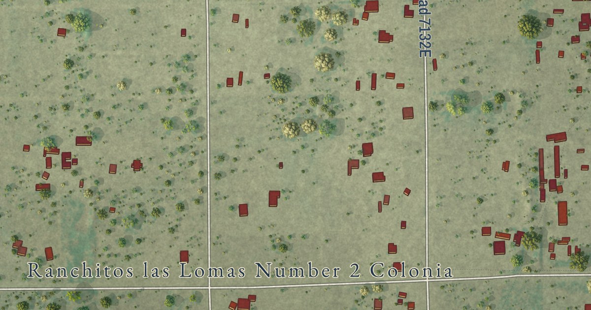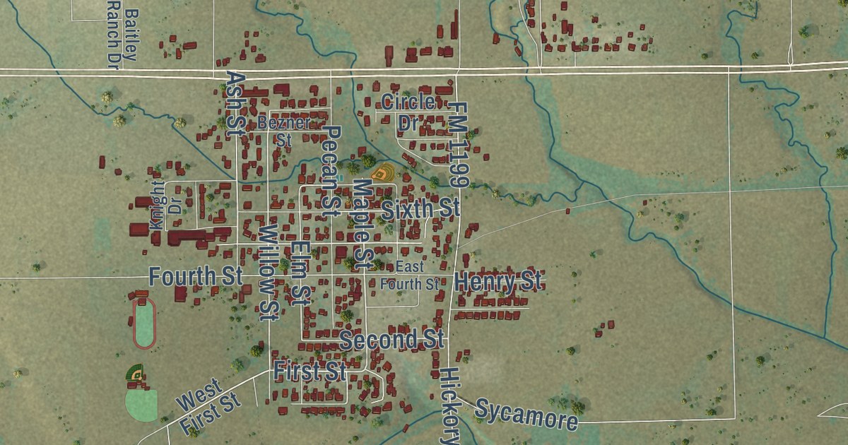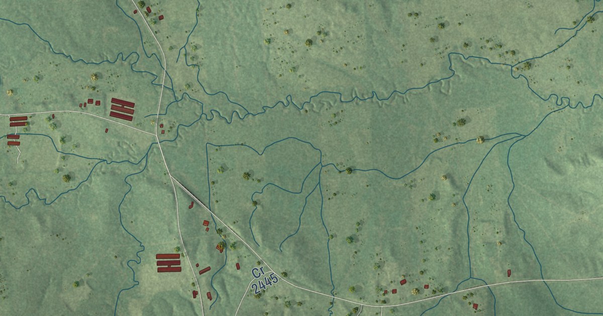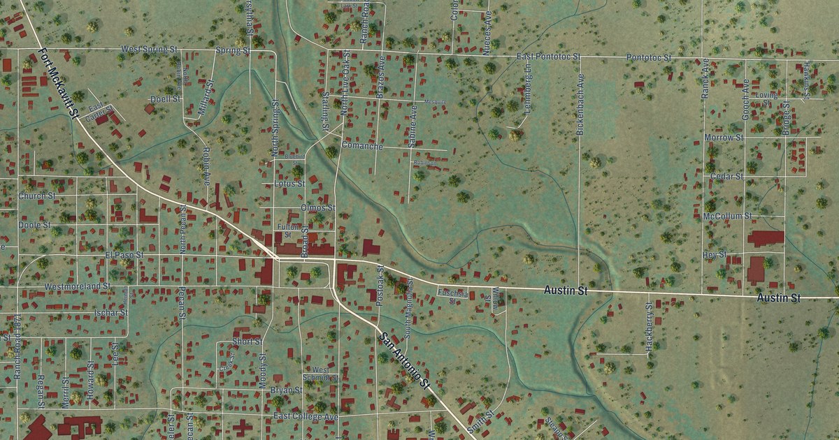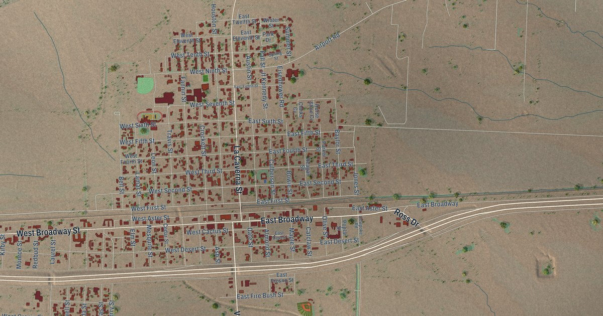
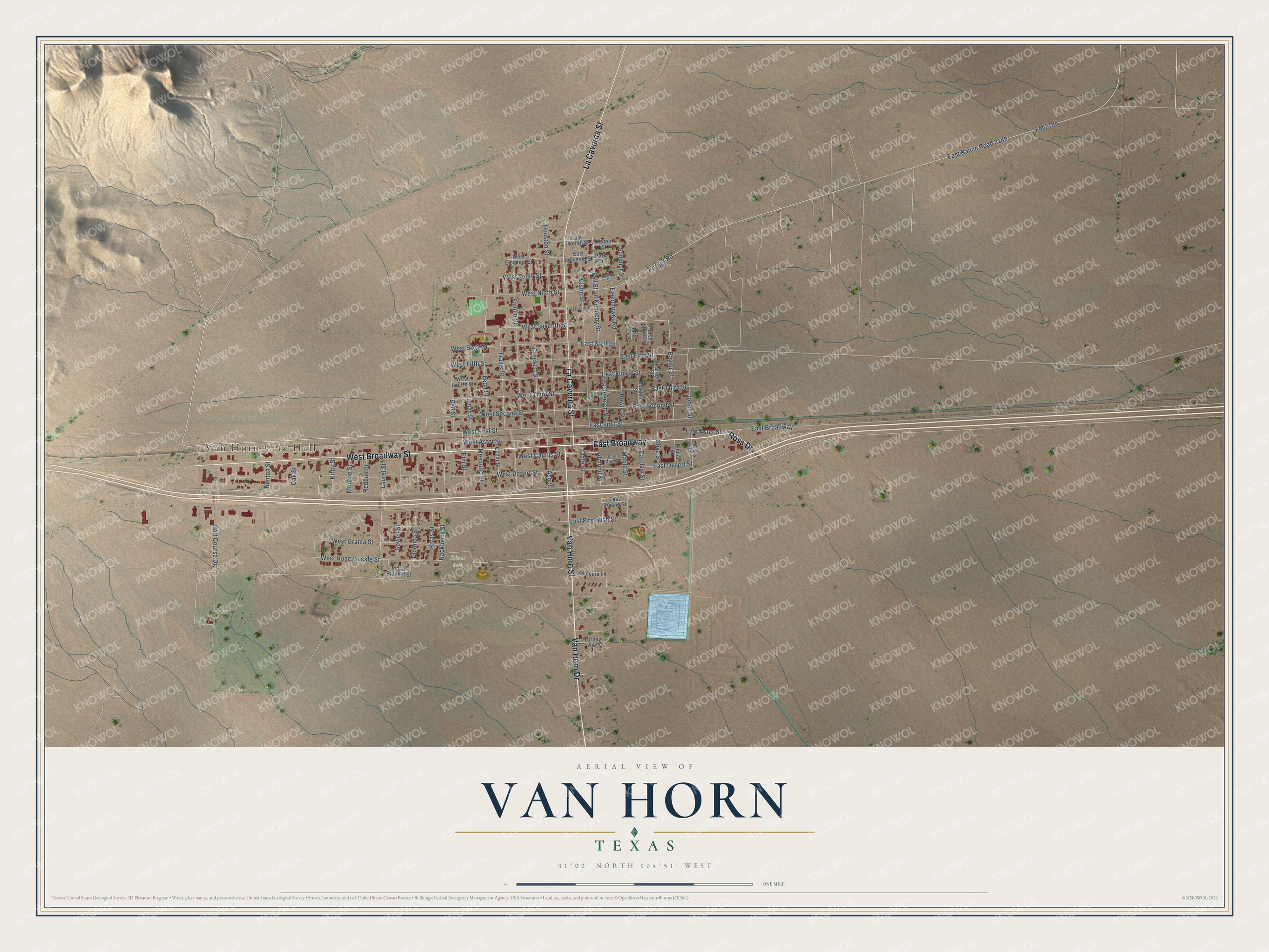
This beautifully detailed map of Van Horn, Texas was created in 2026 using aerial imagery combined with modern topographical, census, street and landmark data. It’s a one-of-a-kind view of Van Horn that combines accurate data with a vintage aesthetic. The map shows every building in its true location, many of the roads carry their names, and the shaded topographic relief shows the shape of the land.
Explore an aerial view of Van Horn, Texas
On the map you’ll find Van Horn City Hall, Rivas Park, and East Broadway, along with Ross Drive, Van Horn Street, Van Horn Drive, West Broadway Street, La Caverna Street, Hackberry Street, West First Street, East First Street, West Second Street, and more. If you look closely you can even find your house accurately drawn in its correct location. Zoom in on the preview to look for yours.
Did you know this piece of Van Horn, Texas history?
From the Handbook of Texas: "Lieutenant Van Horn's command lasted only two years, from 1859 to 1861, when Confederate forces seized the wells and took him prisoner, but his fame was ensured twenty years later when a town was founded a few miles north and named after him."
Take a closer look at the Van Horn map
Street and place names on the Van Horn, Texas map
These names are printed on the map of Van Horn, Texas.
Places: Van Horn City Hall and Rivas Park.
Streets and roads: Ross Drive, East Broadway, Van Horn Street, Van Horn Drive, West Broadway Street, La Caverna Street, Hackberry Street, West First Street, East First Street, West Second Street, Laurel Street, West Honeysuckle Street.
More street names, A to Z
Airport Road, Almond Street, Ash Street, Austin Street, Baylor Street, Bell Street, Benton Street, Bowie Street, Catclaw Street, Cedar Street, Clarks Cv, Cowpoke Road, Crockett Street, Culberson Street, Date Street, De Anda Street, East Aster Street, East Desert, East Desert Street, East Eighth Street, East Eleventh Street, East Fifth Street, East Fire Bush Street, East Fourth Street, East Fresno Street, East Ranch Road 2185, East Second Street, East Sixth Street, East Third Street, East Twelfth Street, Eisenhower Road, Elm Street, Fall Street, Fannin Street, FM 2185, Golf Course Drive, Horse Shoe Cv, Houston Street, Indian Blanket Street, Jf Kennedy Street, Jones Street, Kampers Lane, Kirby Street, Lamar Street, Leon Street, Maple Street, Mesquite Street, Monroe Street, Oak Street, Olive Street, Park Drive, Parker Street, Poplar Street, Reagan Street, Redbud Street, Rivas Street, Sowell Street, Spring Street, Summer Street, Travis Street, Turney Avenue, West Aster Street, West Cactus Street, West Desert Street, West Eleventh Street, West Fifth Street, West Fourth Street, West Grama Street, West Ninth Street, West Seventh Street, West Sixth Street, West Tenth Street, West Third Street, Winter Street.
See the Van Horn, Texas map on a wall
The Van Horn map as an 18 x 24 inch print in a black frame.

This beautifully detailed map of Van Horn makes an attractive addition to your office, library, or den, and it can even be used to teach children the geography and history of the area. It also makes a great gift for someone who left Van Horn and still calls it home. When you’re done exploring, click here to get your copy of the Van Horn map.