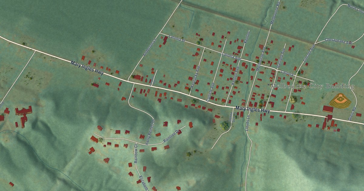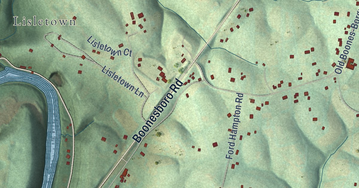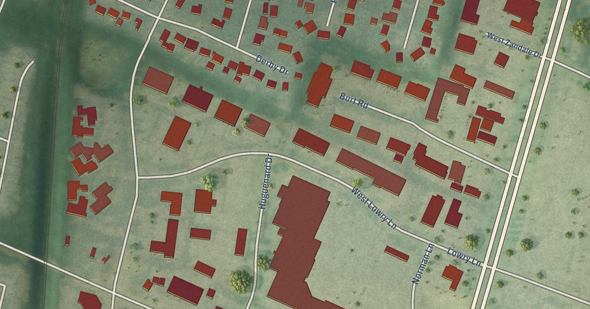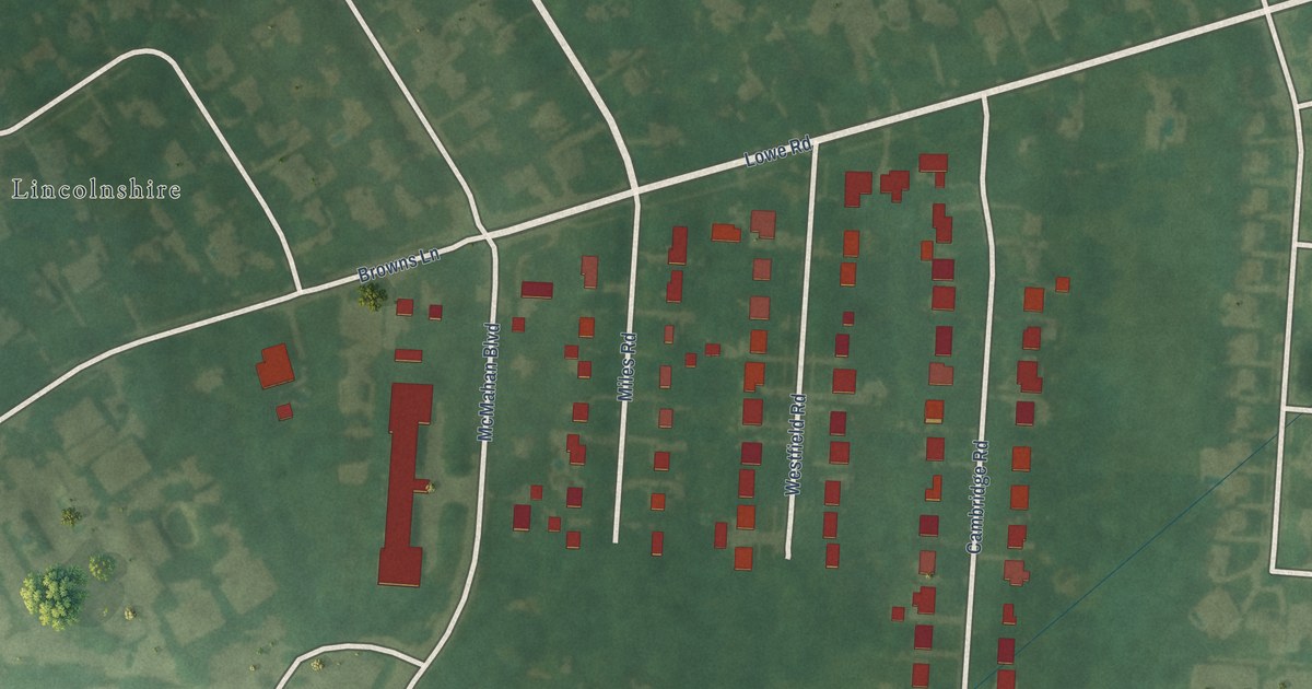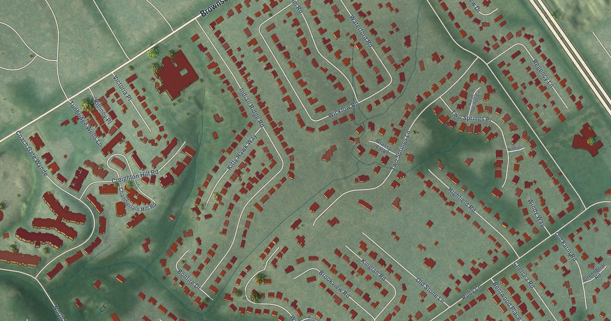
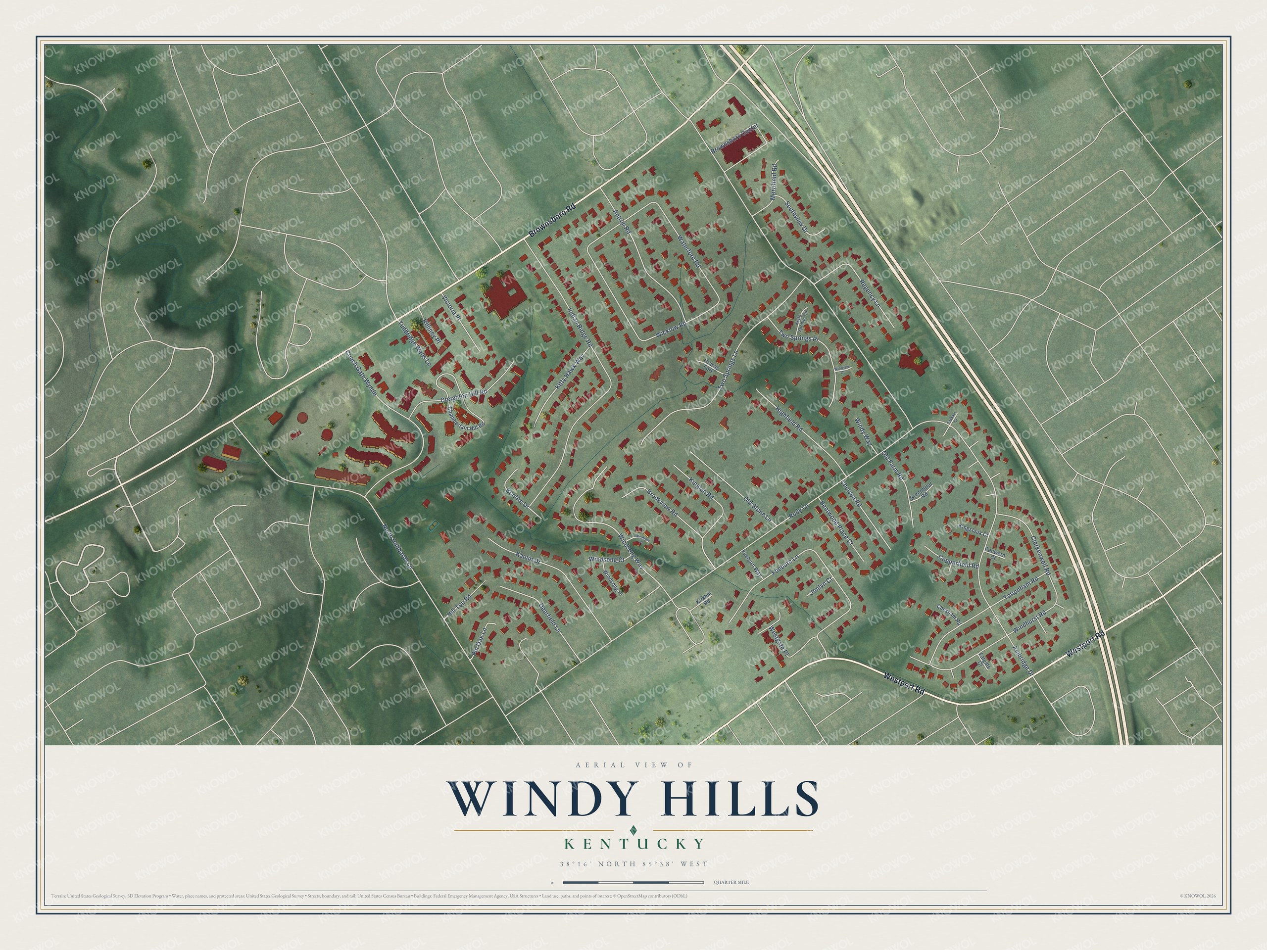
This beautifully detailed map of Windy Hills, Kentucky was created in 2026 using aerial imagery combined with modern topographical, census, street and landmark data. It’s a one-of-a-kind view of Windy Hills that combines accurate data with a vintage aesthetic. The map shows every building in its true location, many of the roads carry their names, and the shaded topographic relief shows the shape of the land.
Explore an aerial view of Windy Hills, Kentucky
On the map you’ll find Coach Gate Wynde, along with Westport Road, Brownsboro Road, Rudy Lane, North Hubbards Lane, Ambridge Drive, Indian Ridge Road, Foeburn Lane, Two Springs Lane, Wicklow Road, Waterford Road, Windsong Way, and more. If you look closely you can even find your house accurately drawn in its correct location. Zoom in on the preview to look for yours.
Did you know this piece of Windy Hills, Kentucky history?
George Rudy and his son-in-law John Herr bought 175 acres here in 1795. Their family once owned all of present-day Windy Hills, where six family homes still stand. That’s from the Kentucky Historical Society.
Take a closer look at the Windy Hills map
Street names on the Windy Hills, Kentucky map
These names are printed on the map of Windy Hills, Kentucky.
Streets and roads: Westport Road, Brownsboro Road, Rudy Lane, North Hubbards Lane, Ambridge Drive, Indian Ridge Road, Foeburn Lane, Two Springs Lane, Coach Gate Wynde, Wicklow Road, Waterford Road, Windsong Way.
More street names, A to Z
Antrim Road, Bentwood Place Court, Bonfire Drive, Brookview Road, Brownsboro Center, Chamberlain Hill Road, Chelsea Road, Chesham Road, Clerkenwell Road, Copperfield Road, Creighton Hill Road, Deerfield Lane, Falgate Court, Foeburn Way, Grassy Fork, Greenbriar Road, Highfield Road, Hill Top Road, Jonlyn Court, Kaelin Drive, Keith Springs Circle, Killiney Place, Kinglan Road, Kingslook Court, Kirkhill Road, Kitty Hawk Way, Merrifield Road, Old Farm Road, Old Stone Lane, Penwern Court, Pin Oak Lane, Regency Lane, Southview Drive, Taxham Court, Tottenham Road, Tunbridge Wells Lane, Two Springs Place, Victoria Place, Westgate Place, Windhurst Road, Windrow Place, Windsong Court, Windsong Place, Windygo Court, Windy Way.
See the Windy Hills, Kentucky map on a wall
The Windy Hills map as an 18 x 24 inch print in a black frame.

This beautifully detailed map of Windy Hills makes an attractive addition to your office, library, or den, and it can even be used to teach children the geography and history of the area. It also makes a great gift for someone who left Windy Hills and still calls it home. When you’re done exploring, click here to get your copy of the Windy Hills map.