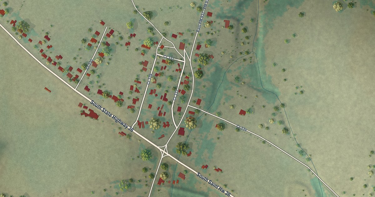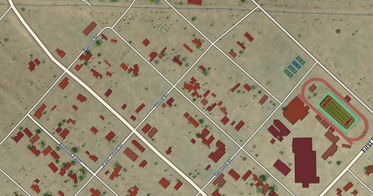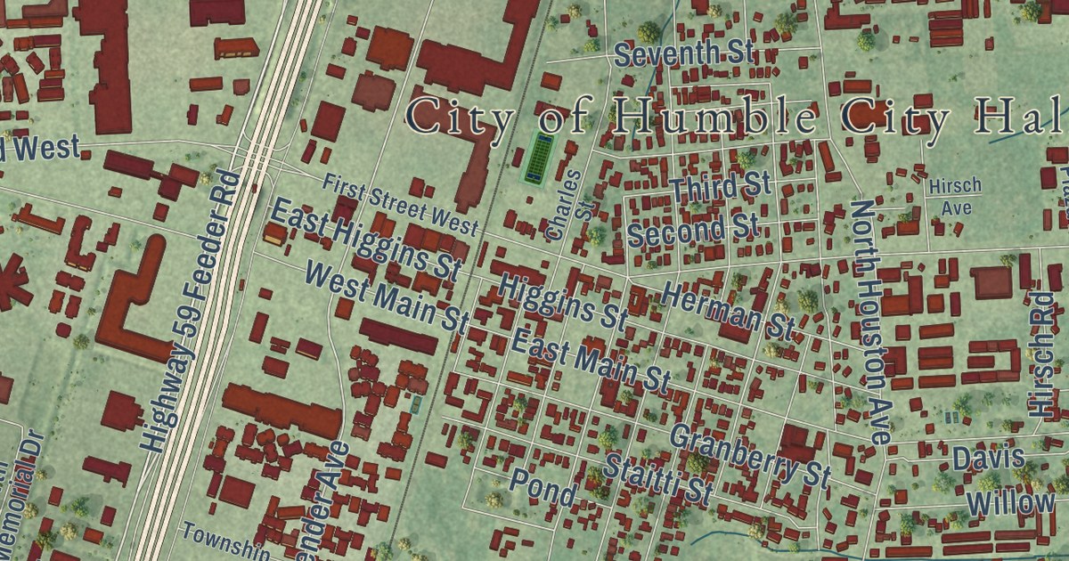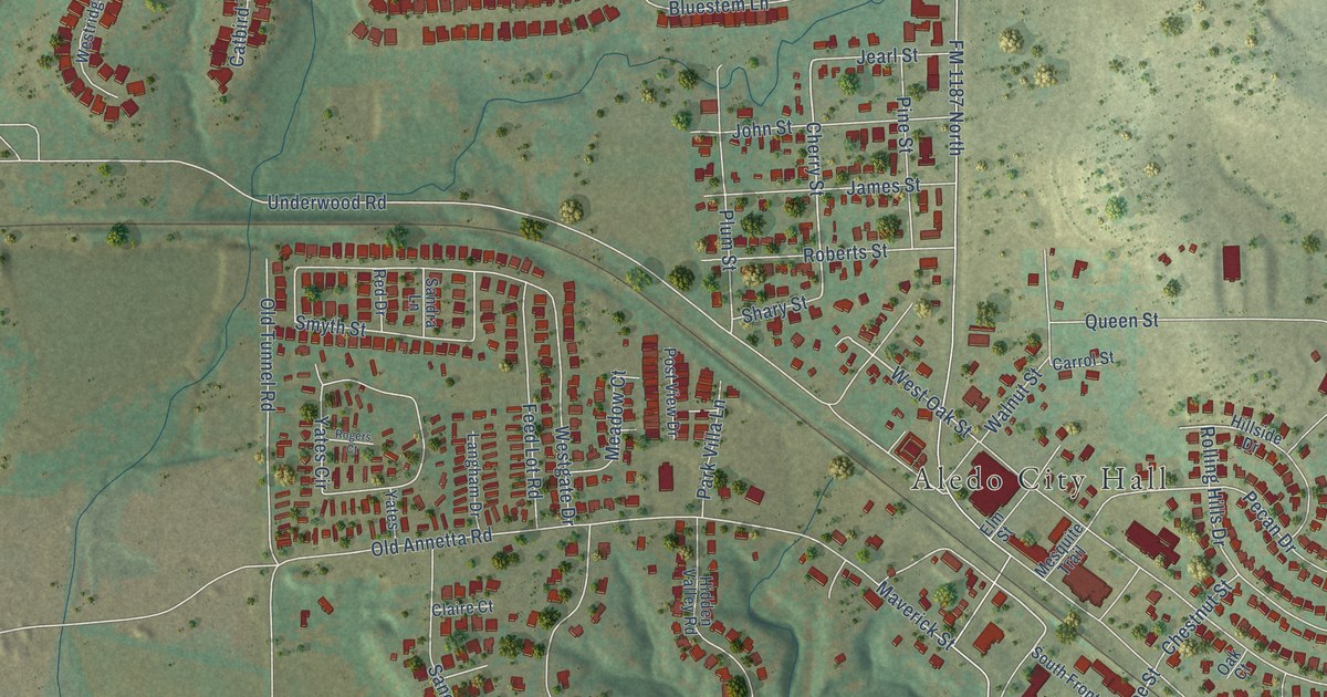
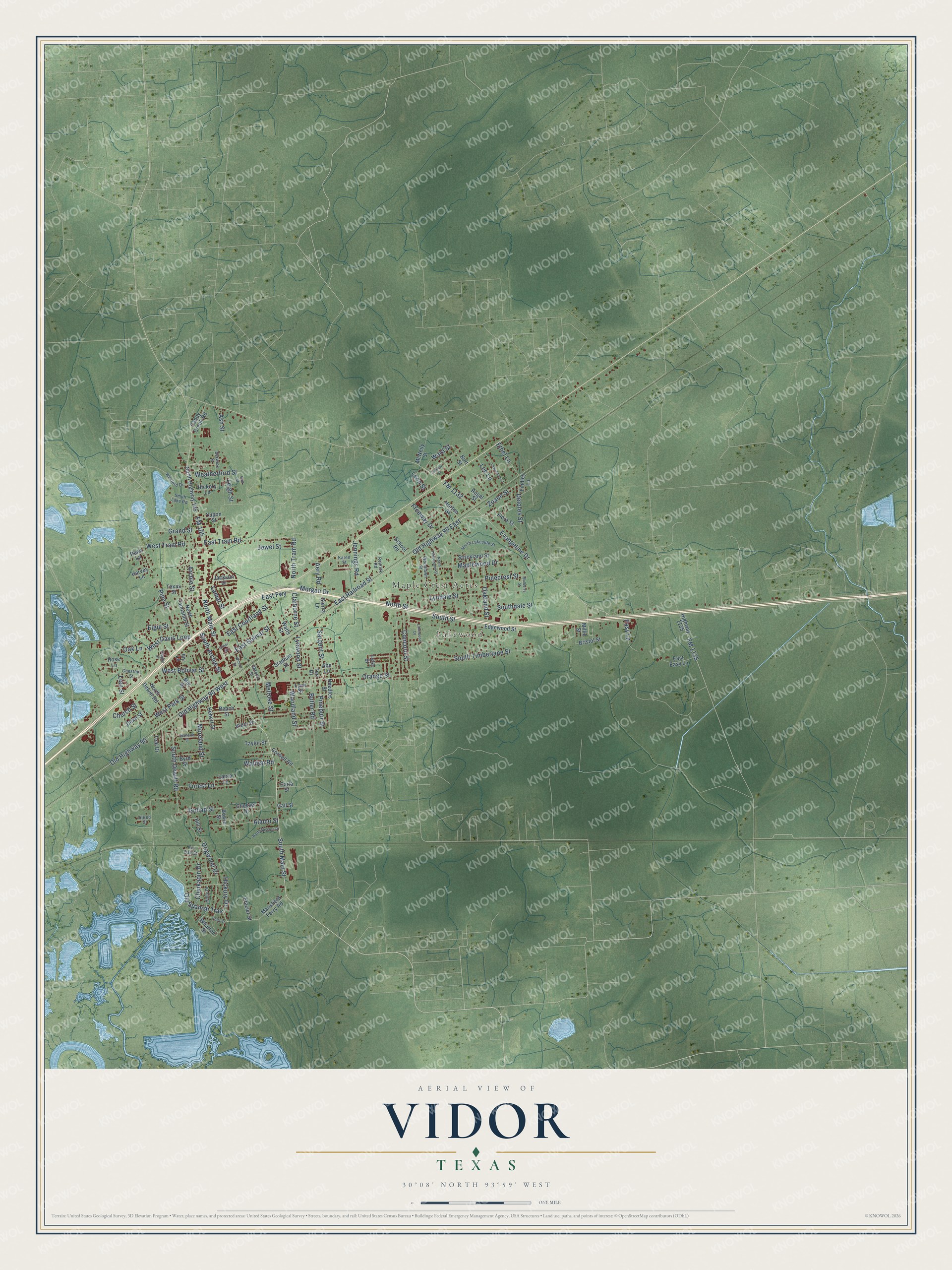
This beautifully detailed map of Vidor, Texas was created in 2026 using aerial imagery combined with modern topographical, census, street and landmark data. It’s a one-of-a-kind view of Vidor that combines accurate data with a vintage aesthetic. The map shows every building in its true location, many of the roads carry their names, and the shaded topographic relief shows the shape of the land.
Explore an aerial view of Vidor, Texas
On the map you’ll find Lakewood, Maple Crest Acres, Old Highway 90 East, and Old Highway 90 West, along with FM 105, South Main Street, Evangeline Drive, North Street, East Railroad Street, Old Spanish Trail, Zoann Street, South Street, and more. If you look closely you can even find your house accurately drawn in its correct location. Zoom in on the preview to look for yours.
Did you know this piece of Vidor, Texas history?
From the Handbook of Texas: "Vidor was named after lumberman Charles Shelton Vidor, who acquired the Beaumont Sawmill Company and later established the Miller-Vidor Lumber Company."
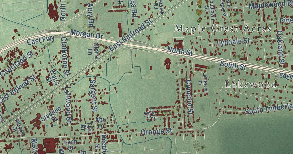
Take a closer look at the Vidor map
Street and place names on the Vidor, Texas map
These names are printed on the map of Vidor, Texas.
Places: Lakewood and Maple Crest Acres.
Streets and roads: FM 105, South Main Street, Evangeline Drive, North Street, East Railroad Street, Old Highway 90 East, Old Highway 90 West, Old Spanish Trail, Zoann Street, South Street, Old Highway 90, Delores Street.
More street names, A to Z
Abe Lane, Aery Road, Alamo Street, Allred Street, Archie Street, Ash Street, Beach Street, Berwick Street, Bowie Street, Bristol Street, Burt Street, Butler Road, Byrd Street, Caney Creek Road, Carla Street, Chesser Drive, Chestnut Street, Chinkapin Drive, Church Street, Claiborne Street, Concord Street, Cornell Road, Dogwood Drive, Duke Street, East Bolivar Street, East Courtland Street, East Easy Lane, East Fwy, East Tram Road, Easy Lane, Edgewood Street, Elgie Street, Ethel Lane, Findley Lane, Flora Street, FM 1132, FM 1135, Forest Lane, Frazier Street, Freeway Drive, Gail Street, Goliad Street, Grand Street, Greer Street, Gulf Street, Harvey Lane, Hebert Street, Hickory Drive, Hickory Lane, Highway 1135, Hill Street, Holly Drive, Horton Street, Ivy Lane, Jackson Drive, Jeanette Street, Jennings Road, Jewel Street, Karen Street, Lakewood Drive, Lamar Street, Laura Lane, Lawrence Lane, Lee Lane, Leigh Street, Leon Street, Leta Street, Lian Street, Ludlow Street, Lyndale Street, Lynn Street, Lynwood Street, Mansfield Ferry Road, Maplewood Drive, McNeily Street, Melrose Street, Millie Street, Mill Street, Moreland Street, Morgan Drive, Mulberry Street, Needles Street, North Dewitt Road, North Highway 105, North Lakeside Street, North Main Street, North Mission Drive, North Tannahill Street, North Timberlane Street, North Tram Road, Oakland Street, Oak Lane, Orange Street, Pineburr Street, Pinecrest Street, Pine Street, Pin Oak Street, Polly Street, Rearick Road, Regal Street, Rene Lane, Rose Lane, Sargent Street, School Road, Sierra Lane, Smith Lake Road, South Archie Street, Southdale Street, South Dewitt Road, South Timberlane Street, Stadium Street, Strickland Street, Taylor Street, Teal Drive, Teri Drive, Texas Street, Vaughn Street, Vernon Street, Vidor Drive, Walden Road, Ward Street, Watts Street, Weatherford Street, West Bolivar Street, West Davis Loop, West Park Street, West Tram Road, Wexford Drive, Wharton Street, Wilson Street, Woodland Street, Woodlawn Street, Yupon Street.
See the Vidor, Texas map on a wall
The Vidor map as an 18 x 24 inch print in a black frame.

This beautifully detailed map of Vidor makes an attractive addition to your office, library, or den, and it can even be used to teach children the geography and history of the area. It also makes a great gift for anyone with Vidor roots. When you’re done exploring, click here to get your copy of the Vidor map.