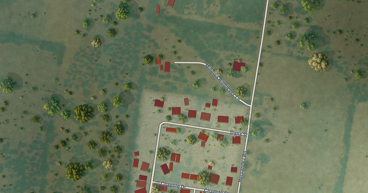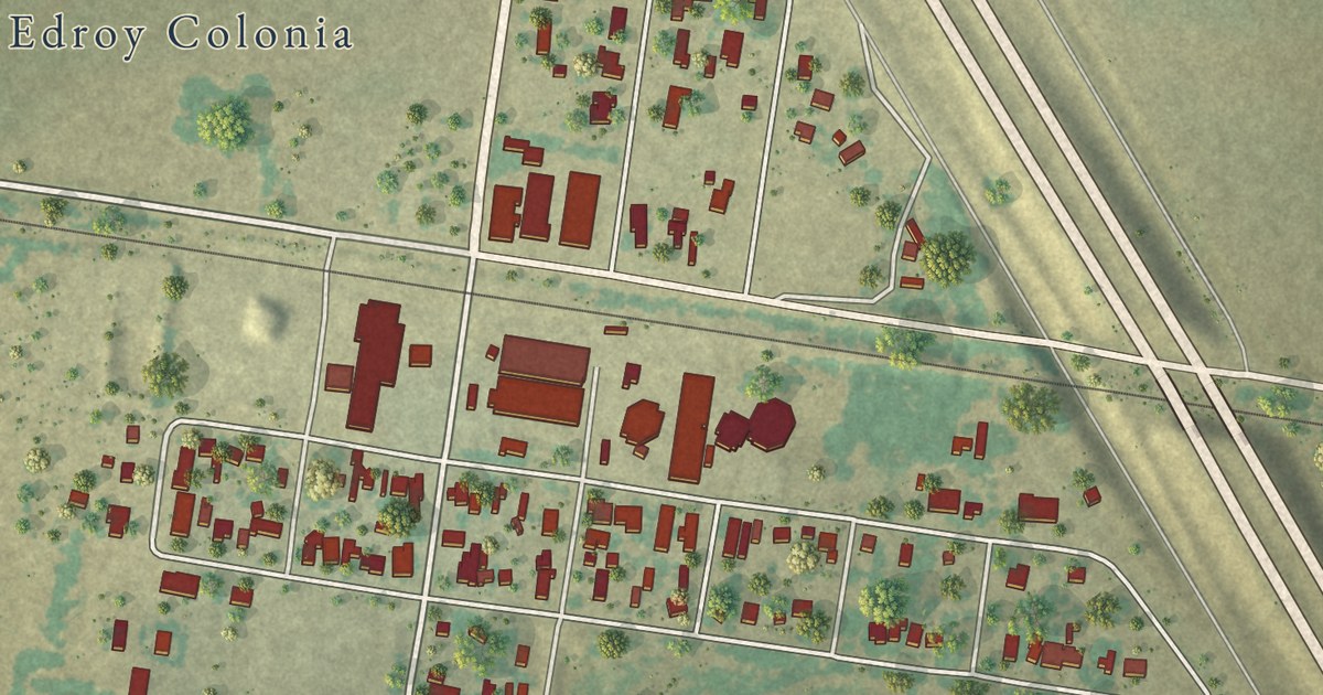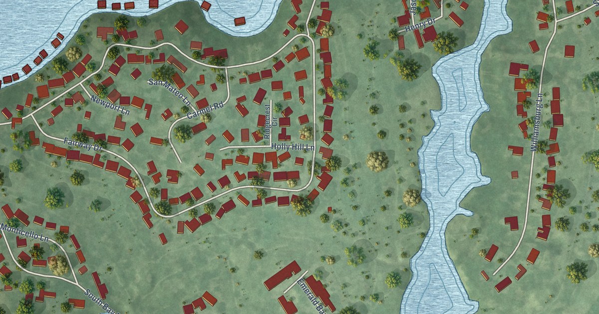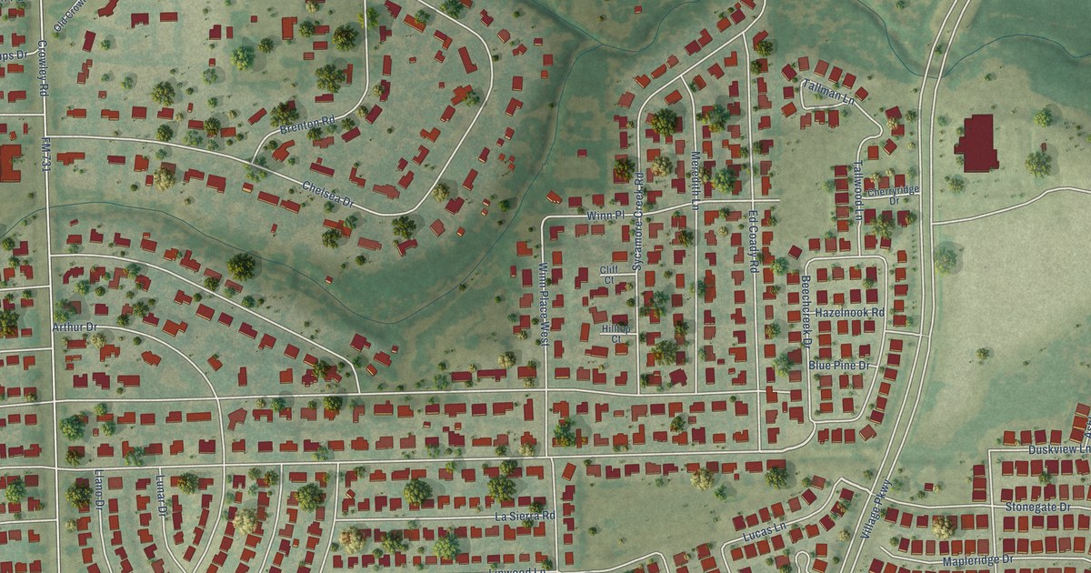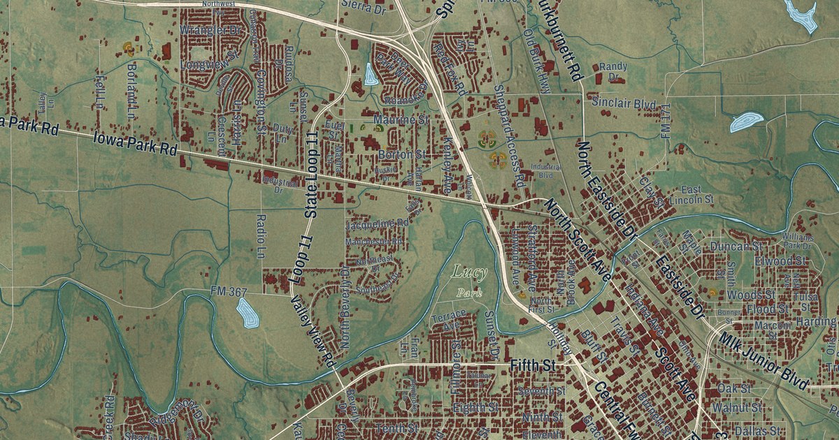
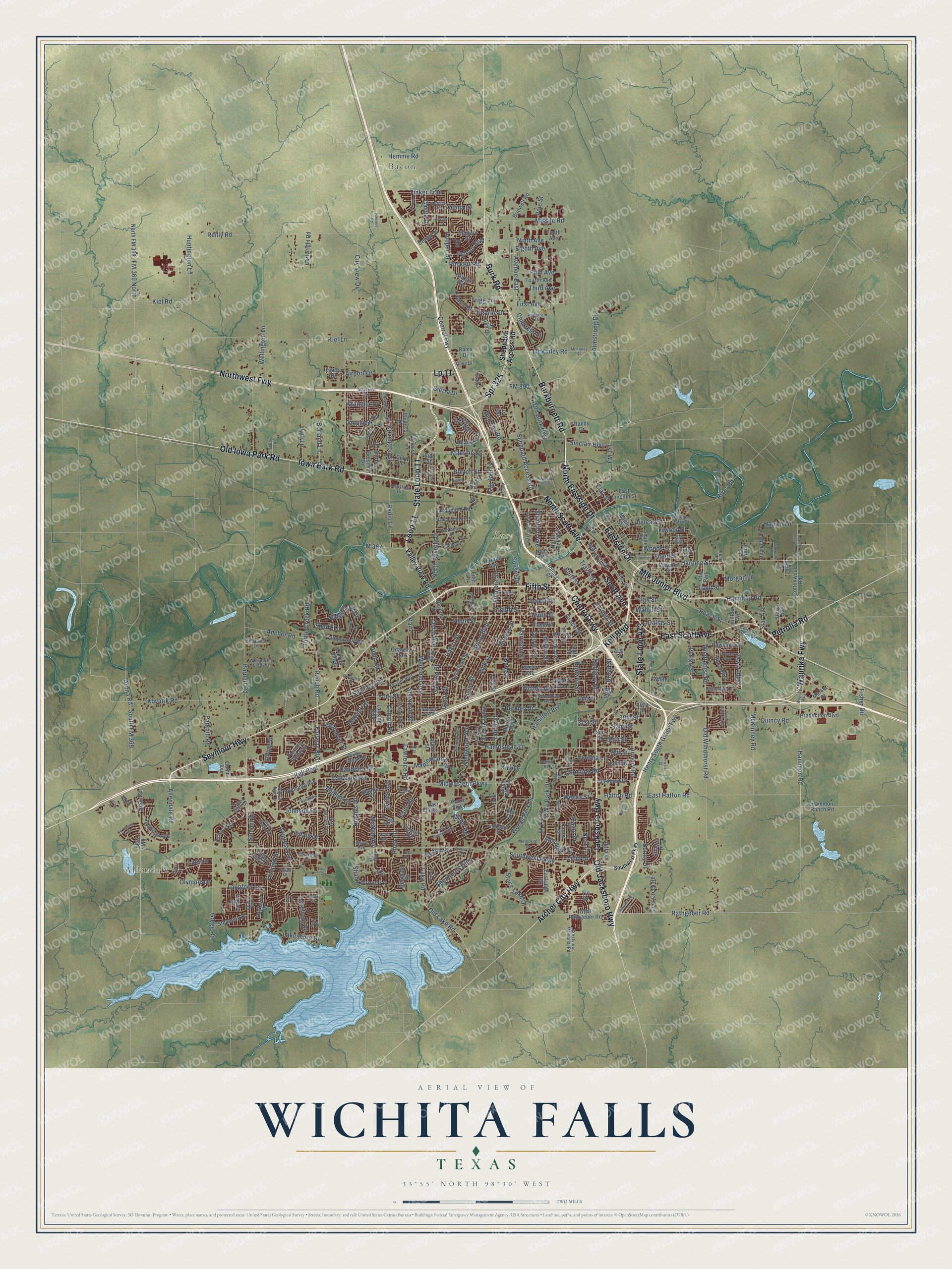
This beautifully detailed map of Wichita Falls, Texas was created in 2026 using aerial imagery combined with modern topographical, census, street and landmark data. It’s a one-of-a-kind view of Wichita Falls that combines accurate data with a vintage aesthetic. The map shows every building in its true location, many of the roads carry their names, and the shaded topographic relief shows the shape of the land.
Explore an aerial view of Wichita Falls, Texas
On the map you’ll find Allendale, Bacon, Lucy Park, and Central Fwy, along with Seymour Highway, State Loop 11, East Scott Avenue, Fifth Street, Scott Avenue, North Scott Avenue, Kell Boulevard, Burkburnett Road, and more. If you look closely you can even find your house accurately drawn in its correct location. Zoom in on the preview to look for yours.
Did you know this piece of Wichita Falls, Texas history?
From the Handbook of Texas: "Tom Buntin and his family had been there since the 1860s, making their living hauling buffalo hides, and John Wheeler settled there in 1875, as did John Converse, who built the first store."
Take a closer look at the Wichita Falls map
Street and place names on the Wichita Falls, Texas map
These names are printed on the map of Wichita Falls, Texas.
Places: Allendale, Bacon, Lucy Park and Otis Park.
Streets and roads: Seymour Highway, State Loop 11, East Scott Avenue, Fifth Street, Central Fwy, Scott Avenue, North Scott Avenue, Kell Boulevard, Burkburnett Road, Iowa Park Road, Old Iowa Park Road, Loop 11.
More street names, A to Z
21st Street, 26th Street, 30th Street, 31st Street, 32nd Street, 34th Street, 35th Street, 38th Street, Airport Drive, Alamo Drive, Allendale Road, Allen Road, Anchor Road, Anderson Drive, Archer City Highway, Ardath Avenue, Arena Road, Armory Road, Armstrong Drive, Arthur Street, Avenue East, Avenue South, Barbados Street, Barna Road, Barnett Road, Bayberry Drive, Baylor Street, Beard Avenue, Bebe Lane, Bell Street, Berkley Drive, Berwick Drive, Beverly Drive, Big Ed Neal Drive, Blanton Street, Bluff Street, Bonner Street, Bonny Drive, Boren Avenue, Borland Lane, Borton Street, Brazos Street, Brewster Street, Briargrove Drive, Bridge Creek, Bridwell Road, Bridwell Street, Broad Street, Brook Avenue, Brookdale Drive, Buchanan Street, Burk Road, Burnett Street, California Avenue, Call Field Road, Canberra Drive, Canyon Ridge, Cape Cod Drive, Carol Lane, Cartwright Road, Castle Drive, Caston Lane, Cedar Avenue, Cedar Elm Lane, Celia Drive, Century Street, Chaparral Lane, Chase Drive, Childress Street, Christine Road, Cimarron Trail, City View Drive, Clark Street, Clay Street, Cole Street, Colleen Drive, Colquit Road, Cottonwood Road, Covington Street, Crescent Lane, Crestview Memorial Road, Cynthia Lane, Cypress Avenue, Dallas Street, Deer Creek Road, Deer Park Way, Denver Street, Deville Street, Devon Road, Dewey Street, Dickens Street, Ditto Lane, Doris Street, Duncan Street, Duty Lane, East Elliott Street, East Fort Worth Street, East Hatton Road, East Lincoln Street, Eastridge Drive, Eastside Drive, Eighth Avenue, Eighth Street, Eleventh Street, Elmwood Avenue North, Elwood Street, Euel Street, Fairfax Avenue, Fairway Boulevard, Faith Road, Falcon Boulevard, Falls Drive, Farris Street, Fell Lane, Fifth Avenue, Fillmore Street, First Avenue, Fisher Road, Flo Drive, Flood Street, Florist Street, FM 171, FM 367, FM 369 North, FM 890, FM 2650, Forest Cove Drive, Fourth Avenue, Fran Lane, Front Street, Garfield Street, Gene Drive, Gilbert Avenue, Glenwood Avenue, Gossett Drive, Grace Street, Grant Street, Gregg Road, Guinn Avenue, Haiti Drive, Hamilton Boulevard, Hammon Ranch Road, Hammon Road, Hampstead Lane, Hampton Road, Harding Street, Harlan Avenue, Harrell Lane, Harris Lane, Harrison Street, Hatton Road, Hayes Street, Hemme Road, Henry South Grace Fwy, Hilltop Avenue, Hines Boulevard, Holliday Road, Holliday Street, Hooper Drive, Howmet Road, Hughes Drive, Huntington Lane, Hunt Street, Hursh Avenue, Huskie Drive, Indiana Avenue, Industrial Boulevard, Industrial Drive, Inlet Drive, Irene Lane, Ivy Lane, Jacksboro Highway, Jacqueline Road, Jasper Street, Jennings Avenue, Jo Ann Drive, Johnson Road, Joy Court, Karla Street, Kauz, Keeler Avenue, Kemp Boulevard, Kenley Avenue, Kessler Boulevard, Kiel Lane, Kiel Road, Kimbell Drive, Kirk Drive, Kit Carson Trail, Kitty Street, Kovarik Road, Laci Lane, Lakefront Drive, Lake Park Drive, Lake Road, Lakeshore Drive, Langford Lane, Lansing Boulevard, Lavell Avenue, Lawrence Road, Lebanon Road, Legacy Drive, Lenore Drive, Likins Circle, Linda Lane, Lindale Drive, Linwood Avenue, Long Leaf Drive, Longview Street, Lou Lane, Lp 11, Lydia Drive, Manchester Road, Maple Street, Maplewood Avenue, Marconi Street, Market Street, Marshal Street, Martha Lane, Martin Boulevard, Maurine Street, McKinley Road, McKinley Street, McKinney Road, McNiel Avenue, Memorial Drive, Mesquite Street, Midwestern Parkway, Milby Avenue, Miller Road, Missile Road, Mlk Junior Boulevard, Monroe Street, Morgan Lane, Neff Avenue, Neta Lane, Ninth Avenue, Ninth Street, North Beverly Drive, North Brook Avenue, North Cottonwood Road, Northeast Drive, North Eastside Drive, North First Street, North FM 369, Northwest Fwy, Oakhurst Drive, Oak Street, Oceola Avenue, Ohio Avenue, Old Burk Highway, Old Jacksboro Highway, Old Lake Road, Old Windthorst Road, Olivia Lane, Olympic Drive, Onaway Trail, Parkhill Road, Pasadena Avenue, Pawnee Pathway, Peach Street, Pearlie Drive, Pembroke Lane, Perigo Street, Petrolia Road, Phillips Drive, Plaza Parkway, Pole Street, Polk Street, Prince Edward Drive, Production Boulevard, Puckett Road, Quincy Road, Radio Lane, Rama Drive, Ranch Road, Randy Drive, Rathgeber Road, Red Fox Road, Reginald Drive, Reilly Road, Reynolds Lane, Rhea Road, Rhone Drive, Ridgemont Drive, Rivercrest Drive, River Lane, River Road, Roanoke Drive, Rockhill Road, Rowland Road, Royalwood Drive, Ruidosa Drive, Santa Fe Street, Saramy Street, Selma Drive, Seventh Street, Seymour Road, Shady Grove Lane, Shady Lane, Shepherds Glen, Sheppard Access Road, Sheridan Road, Sherman Road, Sherwood Lane, Sierra Drive, Sierra Madre Drive, Simmons Lane, Sinclair Boulevard, Sisk Road, Smith Street, South Bandera Drive, Southeast Drive, South FM 369, Southwest Parkway, Speedway Avenue, Spr 325, Star Avenue, State Loop 473, Stearns Avenue, Stephens Drive, Stesco Avenue, Stirling Street, Stone Lake Drive, Stratford Avenue, Summit Drive, Sunnyside Lane, Sunset Drive, Sunset Lane, Taft Boulevard, Taft Street, Talley Lane, Talunar Lane, Tanglewood Drive, Tarry Street, Taylor Street, Tenth Avenue, Tenth Street, Terrace Avenue, Thaten Drive, Third Avenue, Thomas Avenue, Thor Street, Tinker Trail, Tower Drive, Travis Street, Trigg Lane, Trinidad Drive, Trout Street, Tulsa Street, Turtle Creek Road, Ulen Lane, University Avenue, Valley View Road, Victory Avenue, Vista Street, Walnut Street, Ward Street, Waurika Fwy, Weeks Park Lane, Weeks Street, Wellington Lane, Wendover Street, Wenonah Avenue, West Rathgeber Road, Whispering Creek Lane, White Street, Williams Park Drive, Windthorst Road, Wolcott Lane, Woodrow Avenue, Woods Street, Wrangler Drive, Wyoming Avenue, York Street.
See the Wichita Falls, Texas map on a wall
The Wichita Falls map as an 18 x 24 inch print in a black frame.

This beautifully detailed map of Wichita Falls makes an attractive addition to your office, library, or den, and it can even be used to teach children the geography and history of the area. It also makes a great gift for someone who left Wichita Falls and still calls it home. When you’re done exploring, click here to get your copy of the Wichita Falls map.