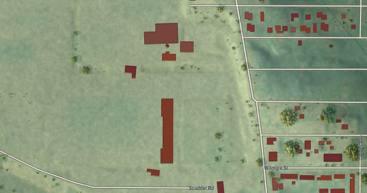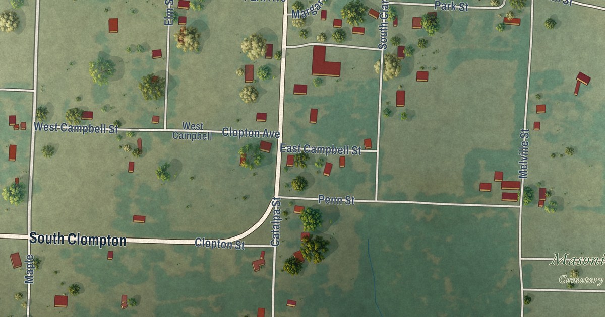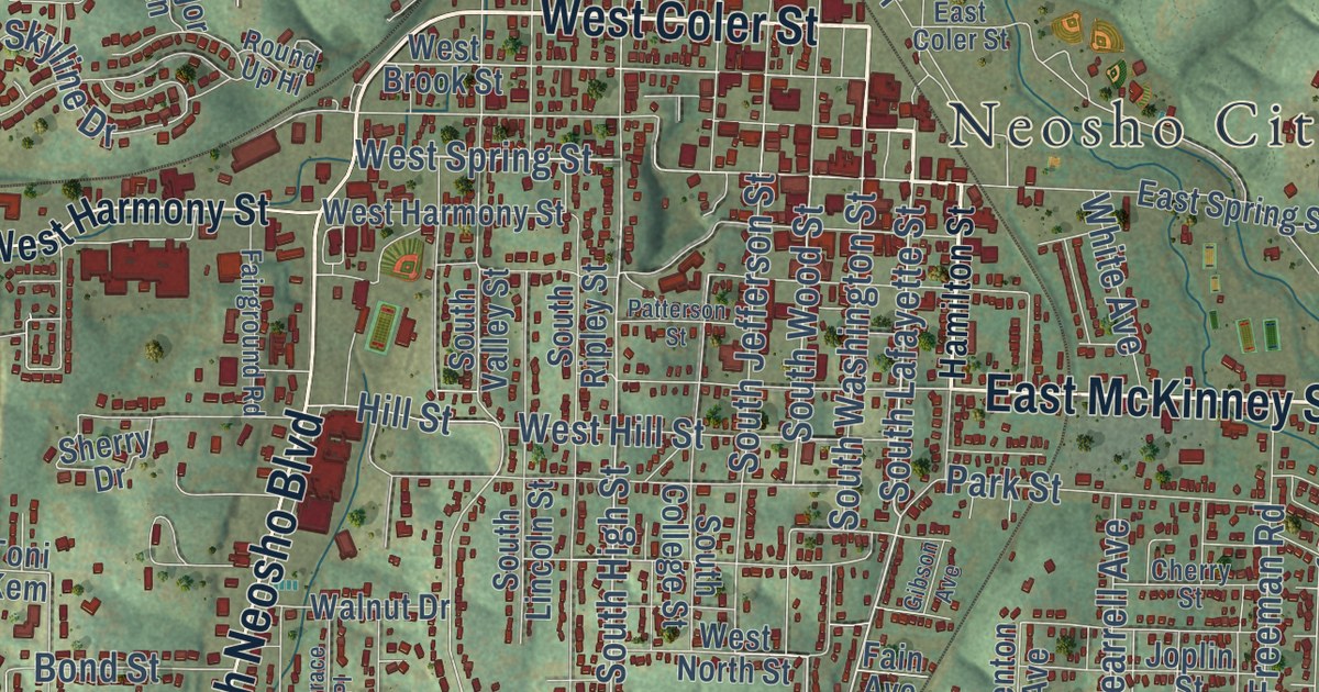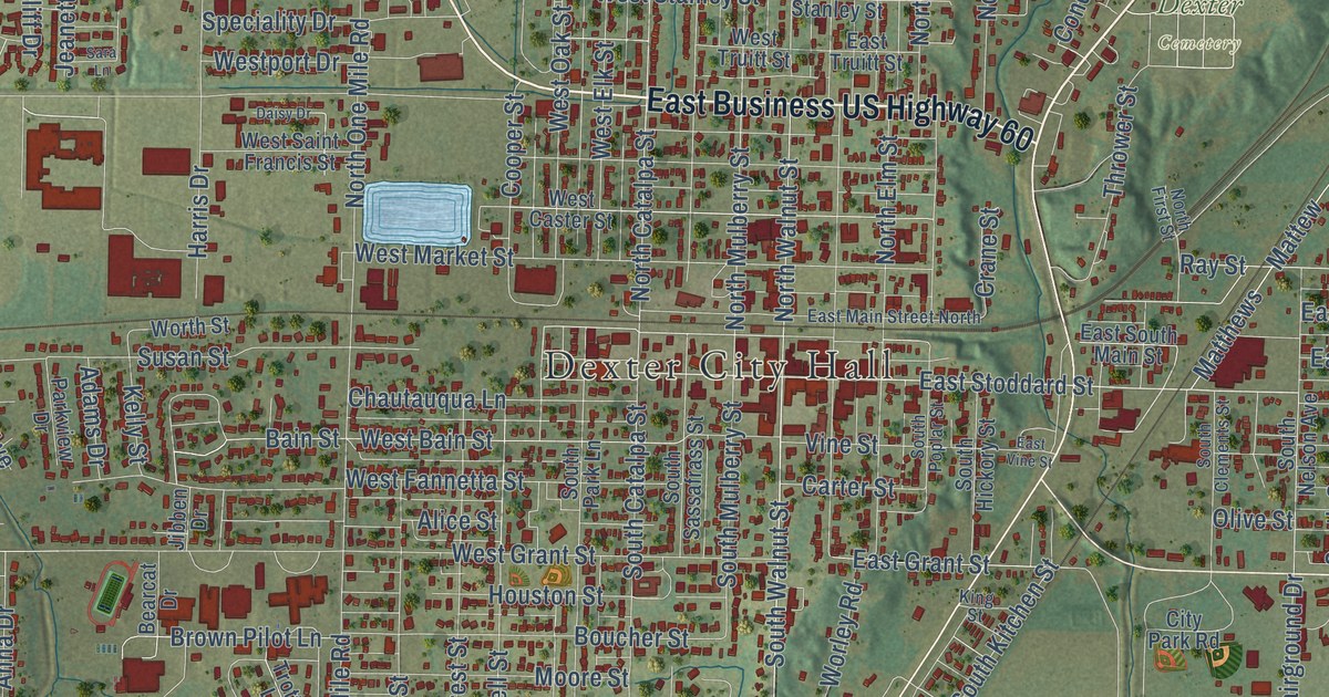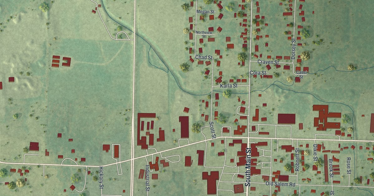
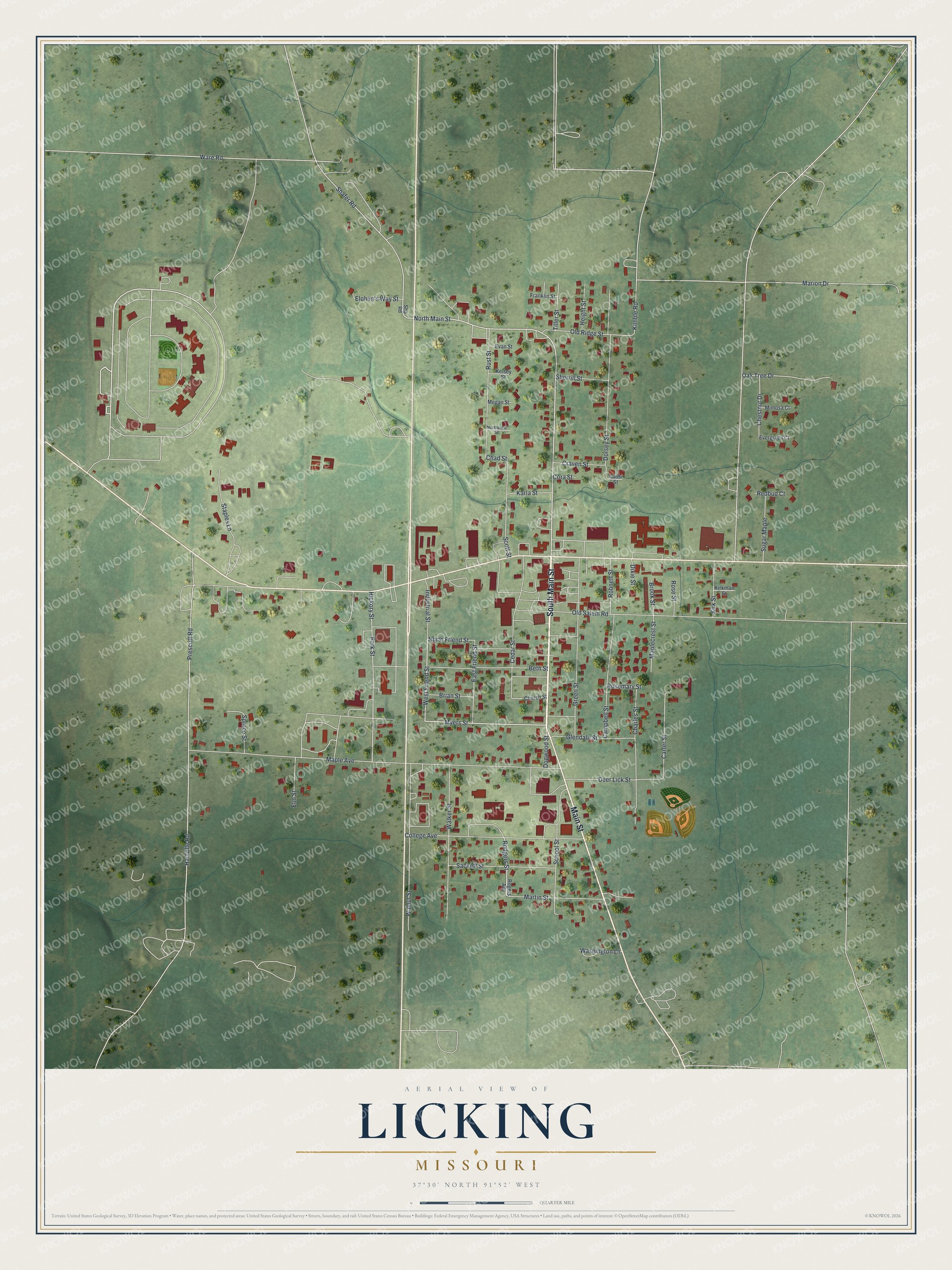
This beautifully detailed map of Licking, Missouri was created in 2026 using aerial imagery combined with modern topographical, census, street and landmark data. It’s a one-of-a-kind view of Licking that combines accurate data with a vintage aesthetic. The map shows every building in its true location, many of the roads carry their names, and the shaded topographic relief shows the shape of the land.
Explore an aerial view of Licking, Missouri
On the map you’ll find South Main Street, Main Street, Myers Street, North Main Street, West Friend Street, North Friend Street, Rodgers Street, Chad Street, Kimble Road, Hartville Road, Maple Avenue, Prescott Road, and more. If you look closely you can even find your house accurately drawn in its correct location. Zoom in on the preview to look for yours.
Did you know this piece of Licking, Missouri history?
From the State Historical Society of Missouri: "The town was incorporated in 1878, but the country around was settled as early as 1826 by Joel Sherrill, William Thornton, and Cartes Baldridge."
Take a closer look at the Licking map
Street names on the Licking, Missouri map
These names are printed on the map of Licking, Missouri.
Streets and roads: South Main Street, Main Street, Myers Street, North Main Street, West Friend Street, North Friend Street, Rodgers Street, Chad Street, Kimble Road, Hartville Road, Maple Avenue, Prescott Road.
More street names, A to Z
Beth Street, Brian Street, Brook Street, Campbell Street, Carter Street, Cassi Street, Cedar Street, Charles Street, Chestnut Drive, Church Street, College Avenue, Cora Street, Craven Street, Deer Lick Street, Dixie Street, Dogwood Street, Dorsey Street, East Friend Street, Elm Street, Elohim's Way Street, Evan Street, Evergreen Court, Franklin Street, Glendale Street, Green Street, Height Street, Hickory Street, Industrial Street, Karla Street, Kelsey Street, Kirkman Street, Kirk Street, Maplecrest Street, Marion Drive, Martin Street, Megan Street, Mimosa Court, Northview Street, Oak Tree Drive, Old Ridge Street, Old Salem Road, Park Street, Redbud Court, Robnett Street, Rogers Avenue, Rosemary Street, Rose Street, Rust Street, Sackett Street, School Street, Scott Street, Shafer Road, Sha Road, Sherrill Street, Spruce Street, Staples Lane, Sugar Maple, Tiller Street, Walker Street, Walnut Street, Ware Road, Washington Lane.
See the Licking, Missouri map on a wall
The Licking map as an 18 x 24 inch print in a black frame.

This beautifully detailed map of Licking makes an attractive addition to your office, library, or den, and it can even be used to teach children the geography and history of the area. It also makes a great gift for someone who left Licking and still calls it home. When you’re done exploring, click here to get your copy of the Licking map.