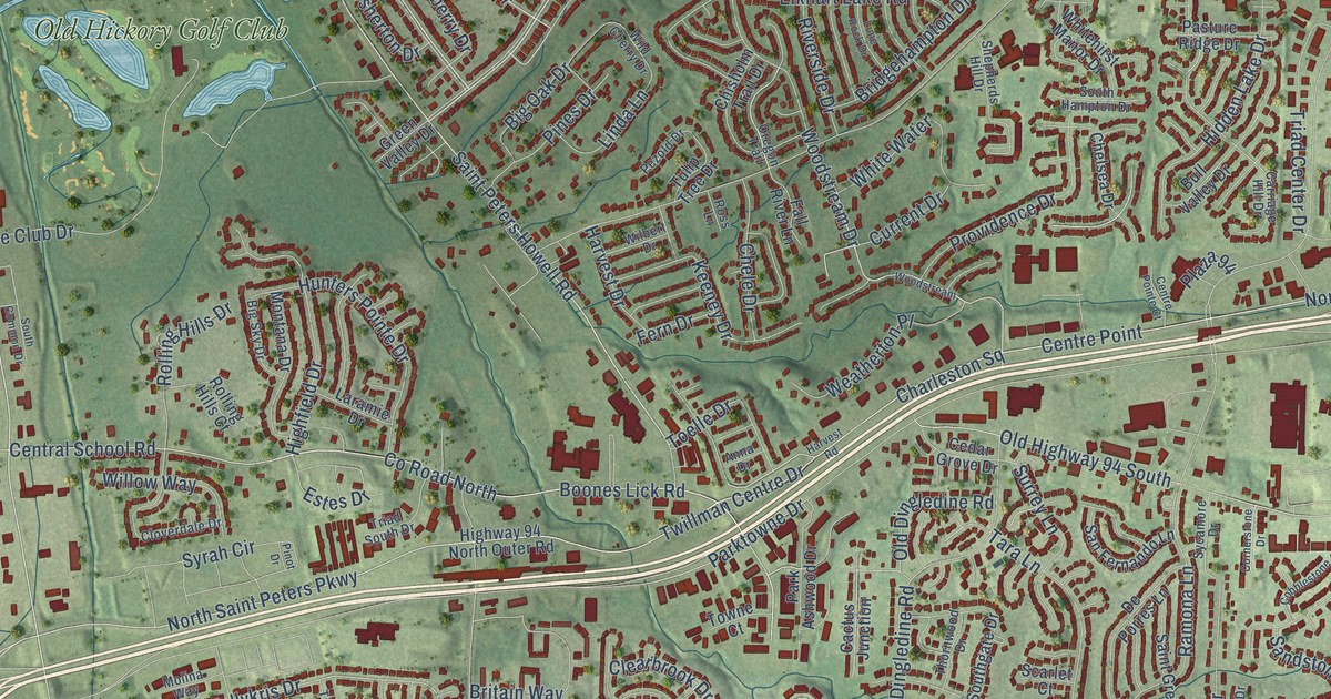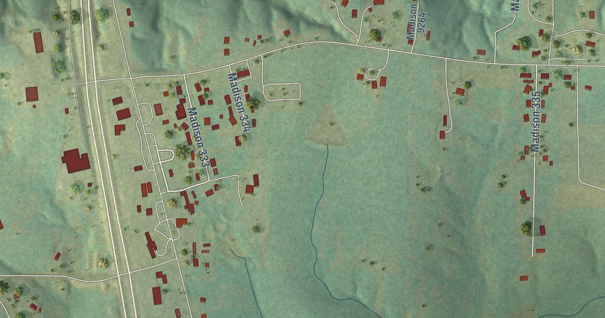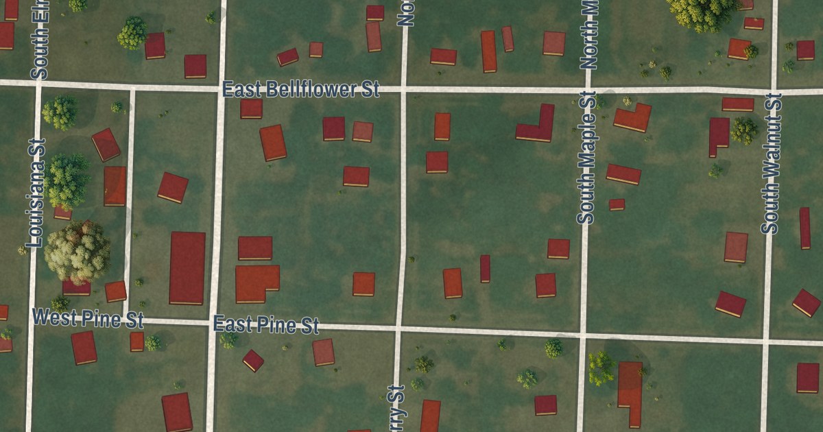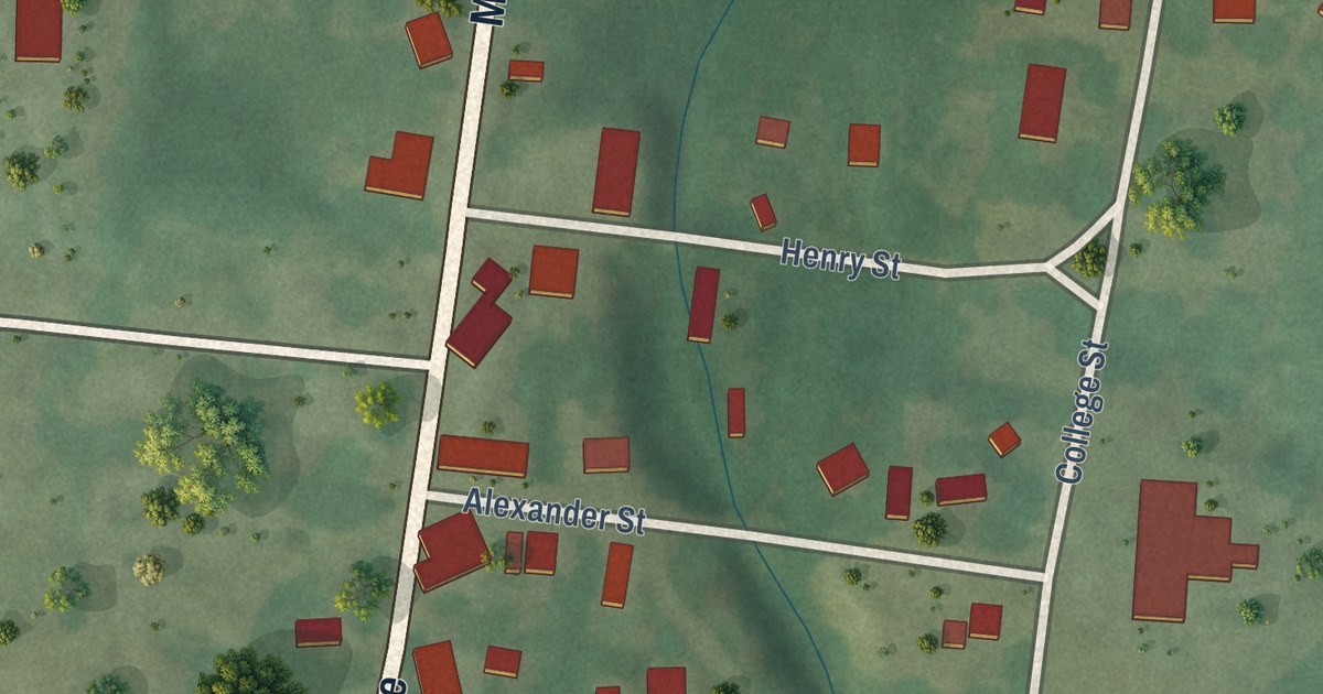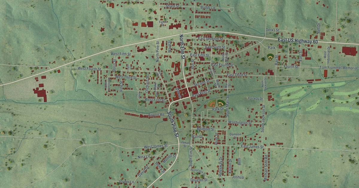
This beautifully detailed map of Mountain View, Missouri was created in 2026 using aerial imagery combined with modern topographical, census, street and landmark data. It’s a one-of-a-kind view of Mountain View that combines accurate data with a vintage aesthetic. The map shows every building in its true location, many of the roads carry their names, and the shaded topographic relief shows the shape of the land.
Explore an aerial view of Mountain View, Missouri
On the map you’ll find North Elm Street, South Pine Street, West US Highway 60, East US Highway 60, North Pine Street, North Pine Avenue, South Elm Street, West James Street, South Jackson Street, East Fifth Street, West Fourth Street, Bay Street, and more. If you look closely you can even find your house accurately drawn in its correct location. Zoom in on the preview to look for yours.
Did you know this piece of Mountain View, Missouri history?
From the State Historical Society of Missouri: "Laid out in 1888 by the railroad but the village was named when the post office was established December 22, 1879, with John C. Campbell as postmaster."
Take a closer look at the Mountain View map
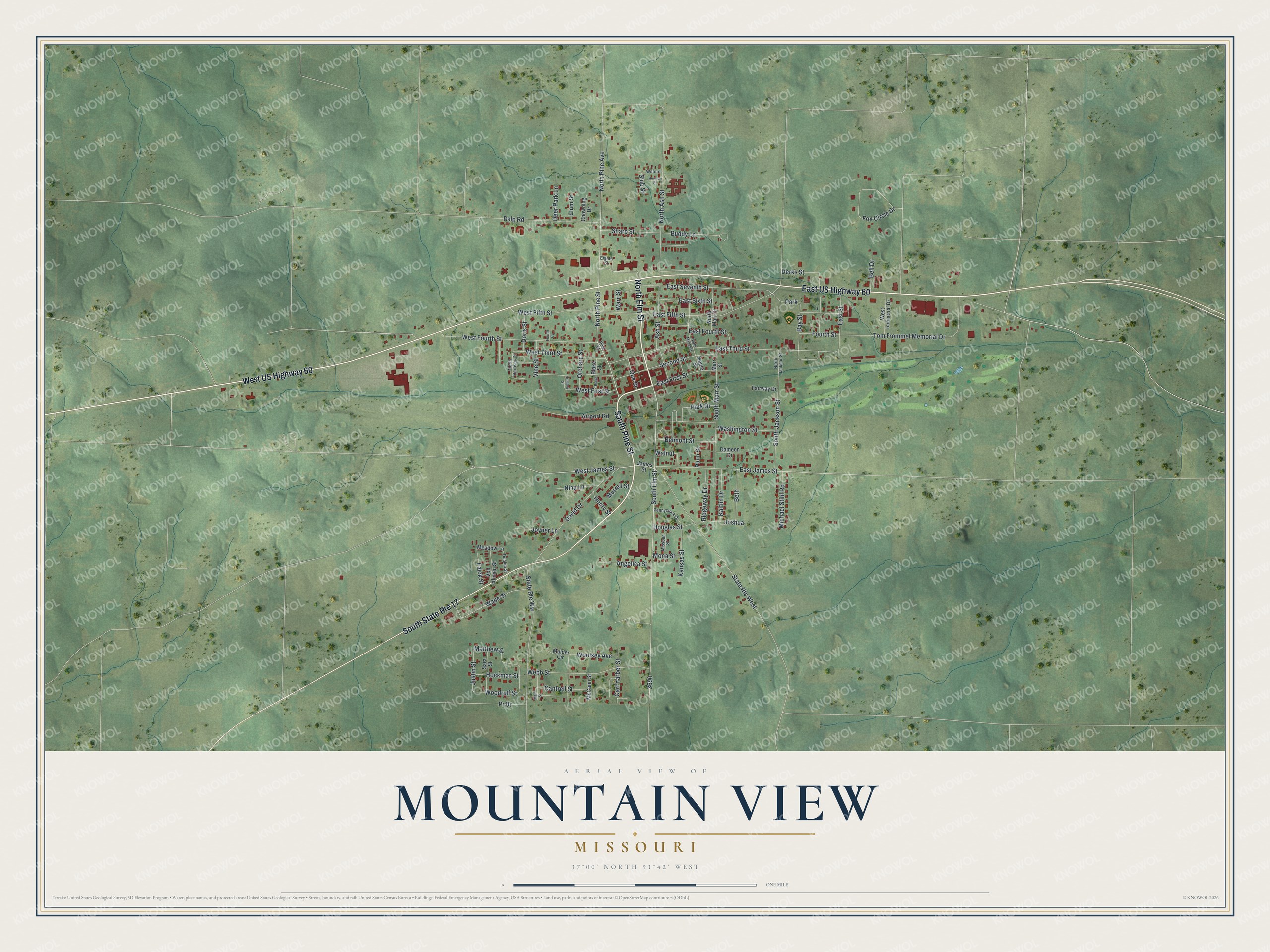
Street and place names on the Mountain View, Missouri map
These names are printed on the map of Mountain View, Missouri.
Places: Park.
Streets and roads: South State Route 17, North Elm Street, South Pine Street, West US Highway 60, East US Highway 60, North Pine Street, North Pine Avenue, South Elm Street, West James Street, South Jackson Street, East Fifth Street, West Fourth Street.
More street names, A to Z
Airport Road, Angelica Street, Ash Street, Bay Street, Bell Drive, Belmont Street, Beth, Blake, Blake Street, Buddy Lane, Cantrell Street, Carl Yarber Street, Chowning Drive, Dameon Drive, David Drive, Deer Park Lane, Delp Road, Derks Street, Doris Street, Douglas Street, Dunkin Street, East First Street, East Fourth Street, East James Street, East Seventh Street, East Sixth Street, East Street, East Third Street, Eighth Street, Elam Street, Fairway Drive, Falck Street, Fourth Cv, Fourth Street, Fox Circle Drive, Henry Street, Herman Street, Hockman Street, Holden Street, James Street, Joshua, Joyner Lane, Justin Street, Kaitlin Drive, Kansas Street, Main Street, Maple Street, Marr Street, Matthew Street, McCann Street, Meadow Lane, Michael Stihl Road, Missouri Street, Mona Street, Mulder Circle, Murrell Street, Nina Lane, North Ash Street, North Harrison Street, North Jackson Street, North Maple Street, North Marr Street, Oak Street, Orchard Street, Park Drive, Pennycuick Drive, Pine Street, Plum Street, Pr Drive, Ridgeway Drive, Sara Street, Second Street, Sharp Street, South Marr Street, State Route West, State Route Ww, Stub Street, Tom Frommel Memorial Drive, Vine Street, Von Allmen Street, Wade Street, Walnut, Ward Street, Washington Street, Webb Street, West Fifth Street, West First Street, West Industrial Drive, West Third Street, Wilford, Woodruff Street, Woolsey Avenue.
See the Mountain View, Missouri map on a wall
The Mountain View map as an 18 x 24 inch print in a black frame.

This beautifully detailed map of Mountain View makes an attractive addition to your office, library, or den, and it can even be used to teach children the geography and history of the area. It also makes a great gift for anyone with Mountain View roots. When you’re done exploring, click here to get your copy of the Mountain View map.