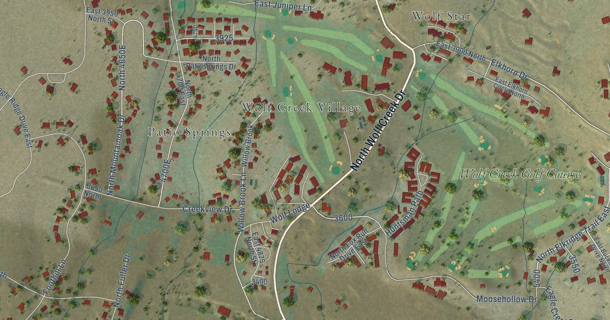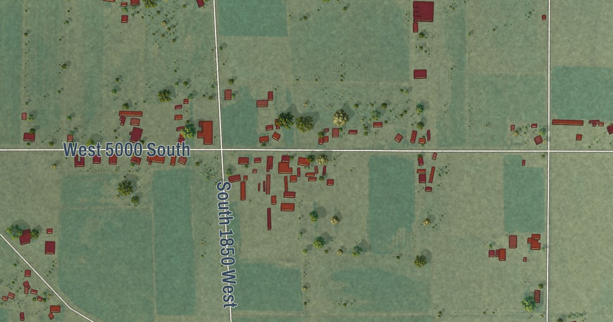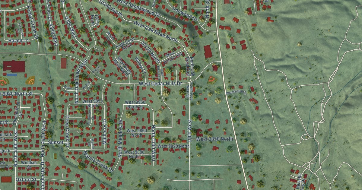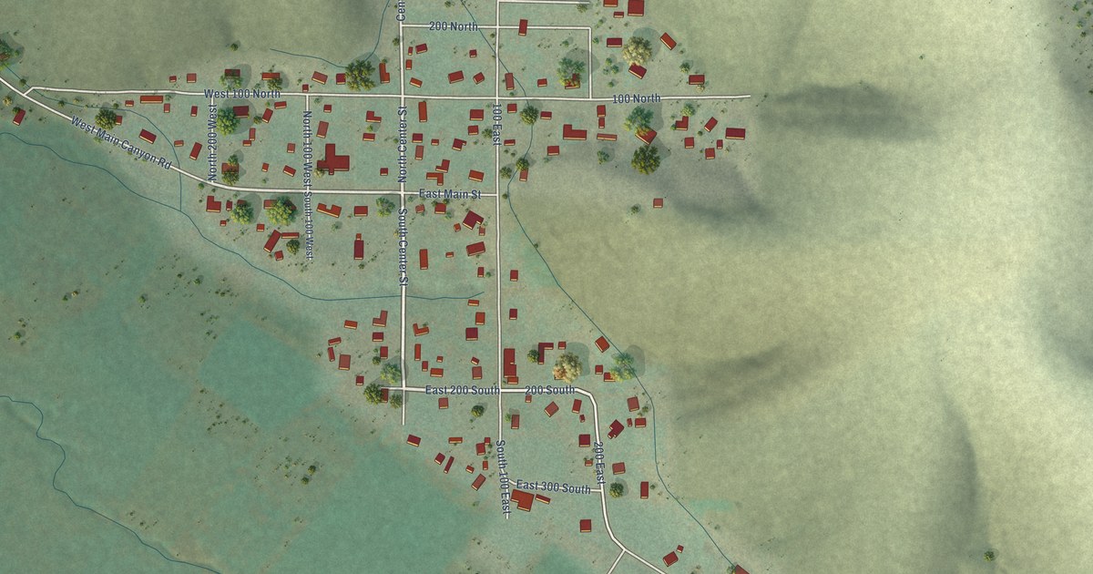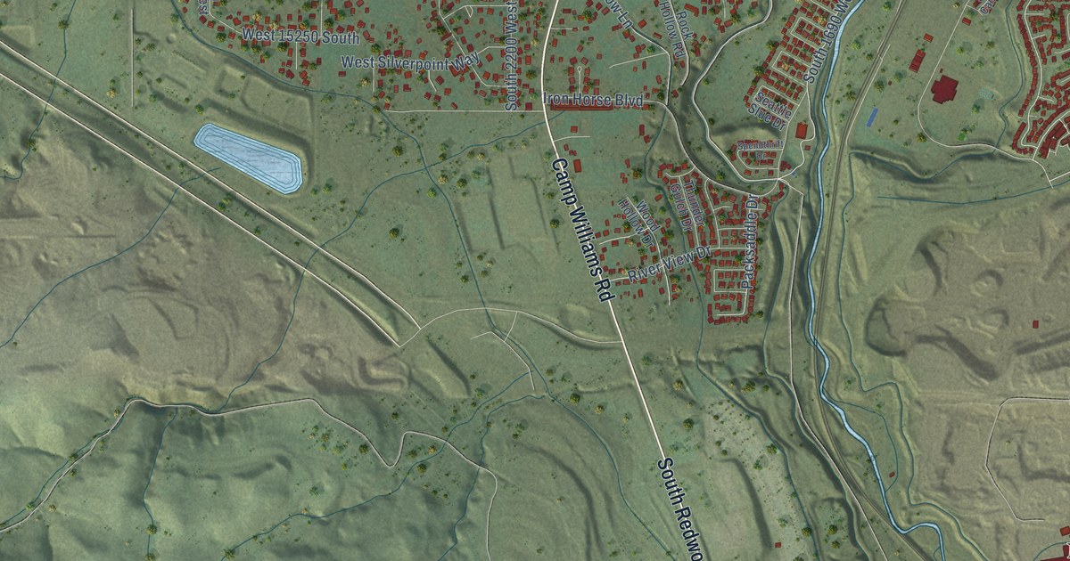
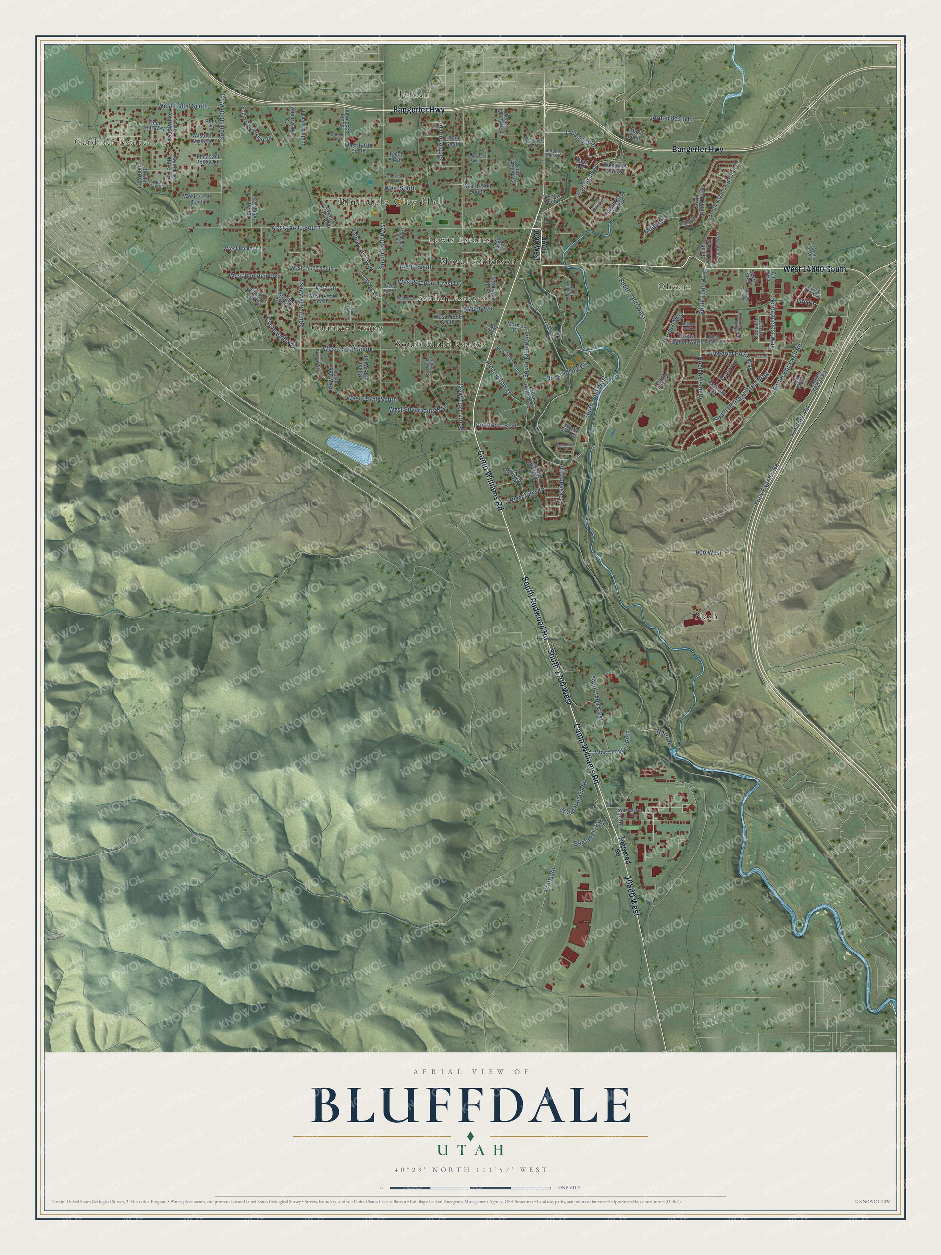
This beautifully detailed map of Bluffdale, Utah was created in 2026 using aerial imagery combined with modern topographical, census, street and landmark data. It’s a one-of-a-kind view of Bluffdale that combines accurate data with a vintage aesthetic. The map shows every building in its true location, many of the roads carry their names, and the shaded topographic relief shows the shape of the land.
Explore an aerial view of Bluffdale, Utah
On the map you’ll find Bluffdale City Hall, Gardiner Estates, Jordan, Avalon Estates, Country Living, Lewis Estates, Moyal Anderson, Nash, Olivers, South Bluff Estates, and South 1700 West, along with South Redwood Road, and more. If you look closely you can even find your house accurately drawn in its correct location. Zoom in on the preview to look for yours.
Did you know this piece of Bluffdale, Utah history?
From the Utah Division of State History: "Bluffdale was initially homesteaded by Jens and Rise Madsen in 1862, as they settled on the east side of the Jordan River."
Take a closer look at the Bluffdale map
Street and place names on the Bluffdale, Utah map
These names are printed on the map of Bluffdale, Utah.
Places: Bluffdale City Hall, Gardiner Estates, Jordan, Avalon Estates, Country Living, Lewis Estates, Moyal Anderson, Nash, Olivers and South Bluff Estates.
Streets and roads: South 1700 West, South Redwood Road, Camp Williams Road, Bangerter Highway, West 14600 South, 10800 West, South 1690 West, Noell Nelson Drive, West 14400 South, South Heritage Crest Way, South 1300 West, South 3600 West.
More street names, A to Z
700 West, 750 West, 900 West, 2000 West, 13920 South, 13965 South, 14000 South, 14060 South, 14270 South, 14590 South, 14700 South, 14890 South, Asherwood Cv, Aspen Avenue, Beef Hollow Road, Bethany Hills Cv, Boulden Falls Lane, Castle Valley Drive, Concord Park Drive, Country Classic Drive, Coyote Gultch Way, Deer Hill Way, Fawn Hill Court, Freedom Point Way, Frontage Road, Harmon Way, Heritagecrest Way, Iron Horse Boulevard, Jordon Basin Lane, Kanarra Creek Lane, Life Drive, Loumis Parkway, Marmac Circle, Midge Drive, Mount Jordan Pit, Napa Avenue, Narrows, Packsaddle Drive, Peace Drive, Pheasant Hollow Lane, Pine Hollow Lane, Pony Express Road, Pony Lane, Porter Rockwell Road, Redcoat Road, Redwood Road, Revere Lane, Rising Star Way, River View Drive, River Willow Drive, Rock Hollow Drive, Rock Hollow Road, Saddlehorn Drive, Seattle Slue Drive, Shiloh Creek Circle, South 635 West, South 830 West, South 950 West, South 1000 West, South 1010 West, South 1400 West, South 1800 West, South 1850 West, South 1950 West, South 2055 West, South 2200 West, South 2390 West, South 2585 West, South 2700 West, South 2815 West, South 2890 West, South 2950 West, South 2990 West, South 3200 West, South 3450 West, South 4000 West, South Black Wulff Drive, South Cantle Drive, South Deer Haven Cv, South Kailye Lane, South McKenna Road, South Oxfordshire Drive, South Pastoral Way, South Royal Coachman Drive, South Stone Fly Drive, South West, South White Tail Cv, South Zonker Drive, Spendthrift Drive, Statehood Drive, Ten Sleep Circle, Third Street, Thunder Gulch Drive, Valley Crest Way, Vera Lane, Warren Circle, Wasatch Vista Drive, Watts Road, West 13800 South, West 13970 South, West 14010 South, West 14050 South, West 14150 South, West 14200 South, West 14270 South, West 14750 South, West 14850 South, West 15000 South, West 15010 South, West 15250 South, West 17000 South, West Blue Quill Drive, West Boulden Boulevard, West Buhler Lane, West McKenna Road, West Silverpoint Way, West South, West Spencer Crest Drive, West Stone Fly Drive, Wood Hollow Drive, Wood Hollow Road, Wyoming Avenue.
See the Bluffdale, Utah map on a wall
The Bluffdale map as an 18 x 24 inch print in a black frame.

This beautifully detailed map of Bluffdale makes an attractive addition to your office, library, or den, and it can even be used to teach children the geography and history of the area. It also makes a great gift for anyone who grew up in Bluffdale or moved away. When you’re done exploring, click here to get your copy of the Bluffdale map.